Alby with Thwaite

Civil Parish in Norfolk North Norfolk

England

Alby with Thwaite

All Saints church, Thwaite
All Saints church, Thwaite Credit: Helen Steed

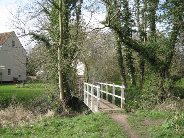
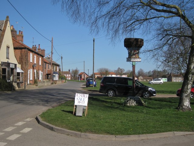
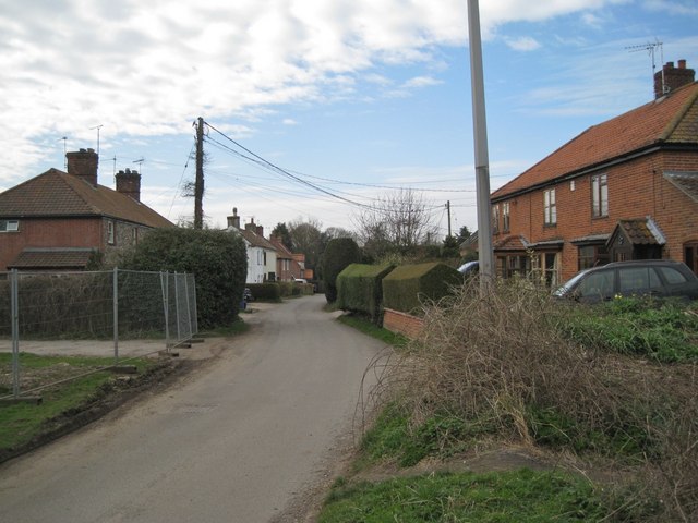
Alby with Thwaite is a civil parish located in the county of Norfolk, England. It is situated about 8 miles north of the city of Norwich. The parish is made up of two villages, Alby and Thwaite, which are located in the Bure Valley, a picturesque area known for its natural beauty and rural charm.

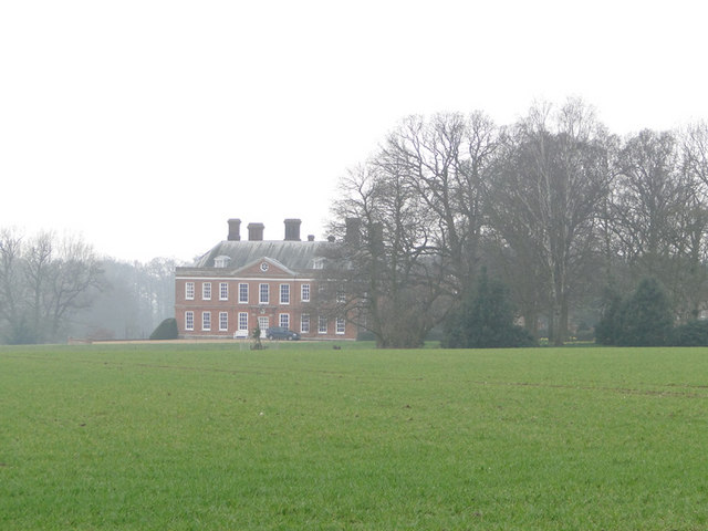
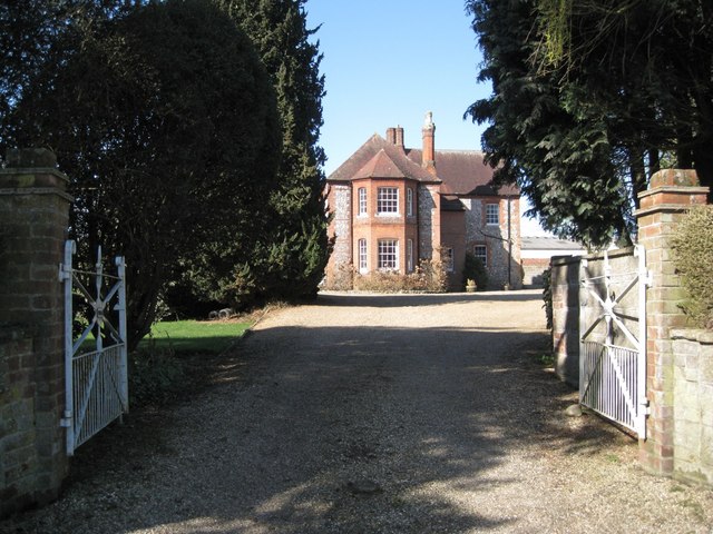
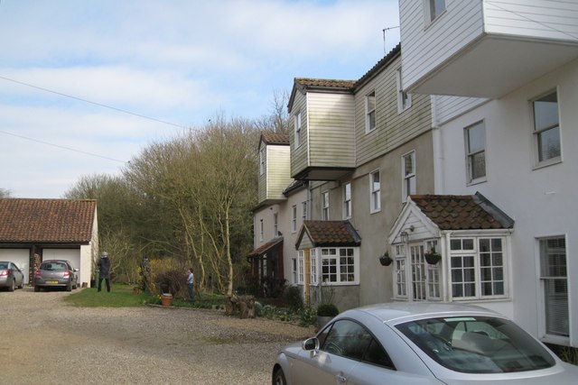
Alby with Thwaite is a small parish with a population of around 200 residents. The villages are characterized by a mix of traditional Norfolk architecture, including thatched cottages and flint buildings, giving them a timeless and quintessentially English feel.

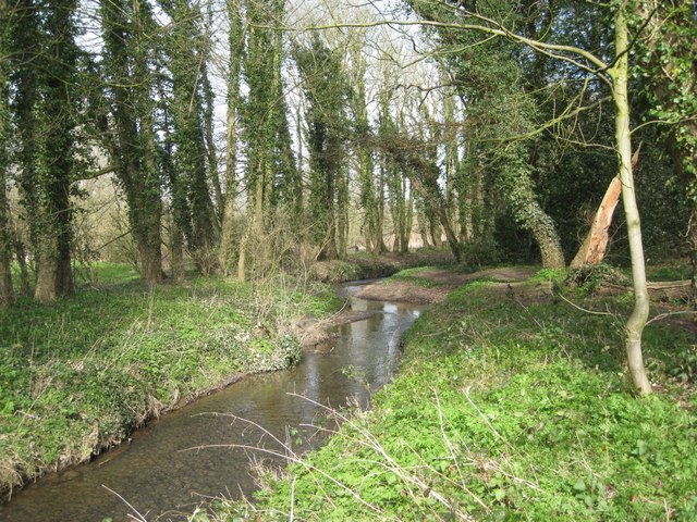
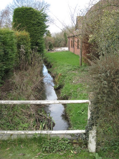
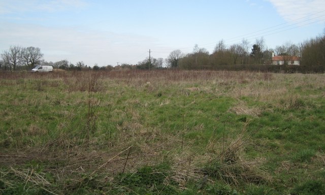
The area is surrounded by beautiful countryside, with rolling fields, meadows, and woodlands, offering residents and visitors ample opportunities for outdoor activities such as walking, cycling, and birdwatching. The Bure Valley Railway, a heritage steam railway, runs through the parish, providing a charming and nostalgic way to explore the area.

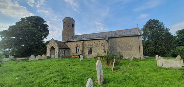
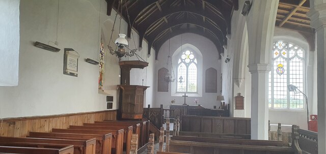
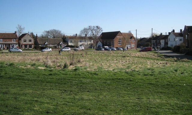
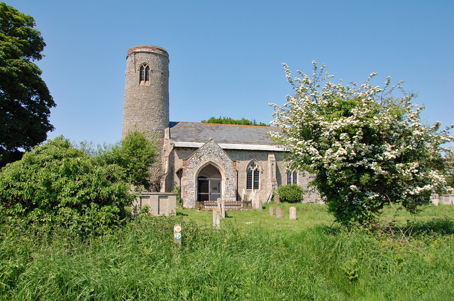
Despite its small size, Alby with Thwaite has a strong sense of community. The parish church, All Saints Church, is a focal point for the residents and hosts regular services and community events. There is also a village hall that serves as a gathering place for various activities and social events.

Overall, Alby with Thwaite is a tranquil and idyllic parish that offers a peaceful countryside lifestyle. With its natural beauty, historic buildings, and strong community spirit, it is a place that captures the essence of rural Norfolk.

If you have any feedback on the listing, please let us know in the comments section below.

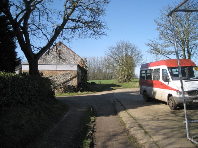
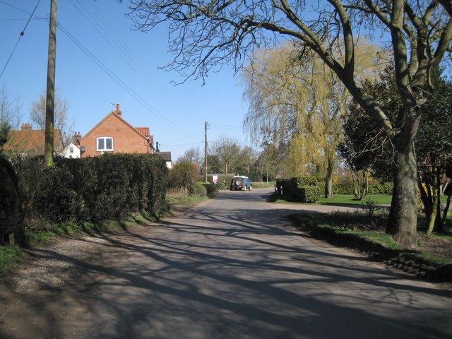
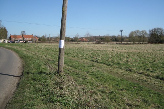
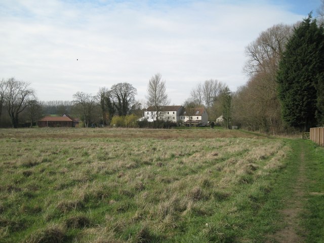
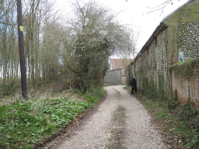
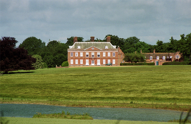
Alby with Thwaite Images

Images are sourced within 2km of 52.852116/1.266561 or Grid Reference TG2033. Thanks to Geograph Open Source API. All images are credited.

All Saints church, Thwaite
Interior of All Saints church, Thwaite
Winter wheat field with Hanworth Hall in the background
'Manor House', Thwaite Road There are farm buildings behind the house. Streetmap identifies this as Manor Farm while OS gives that name to a property to the south which Streetmap calls Old School Cottages <a href="https://www.geograph.org.uk/photo/2368487">TG1833 : Orchard southwest of Aldborough</a>
'Manor House', Thwaite Road
There are farm buildings behind the house. Streetmap identifies this as Manor Farm while OS gives that name to a property to the south which Streetmap calls Old School Cottages TG1833 : Orchard southwest of Aldborough
Community bus at Manor Farm Streetmap calls this Manor Farm while OS gives the name to a property to the south, which Streetmap calls Old School Cottages <a href="https://www.geograph.org.uk/photo/2368487">TG1833 : Orchard southwest of Aldborough</a>. The photo was taken from a footpath that continues to the northeast corner of an orchard, then along its northern edge <a href="https://www.geograph.org.uk/photo/2367405">TG1734 : Orchard, mid-March</a>.
Community bus at Manor Farm
Streetmap calls this Manor Farm while OS gives the name to a property to the south, which Streetmap calls Old School Cottages TG1833 : Orchard southwest of Aldborough. The photo was taken from a footpath that continues to the northeast corner of an orchard, then along its northern edge TG1734 : Orchard, mid-March.
Thwaite Road approaching Aldborough
Common south of Aldborough The track and public footpath to Aldborough Mill crosses the land, centre, and is followed by the Weavers' Way recreational path.
Common south of Aldborough
The track and public footpath to Aldborough Mill crosses the land, centre, and is followed by the Weavers' Way recreational path.
Houses along Middle Hill
Grassland east of Aldborough Mill The property on the left, seen from the rear, is 'The Granary'.
Grassland east of Aldborough Mill
The property on the left, seen from the rear, is 'The Granary'.
Footbridge over Scarrow Beck Flowing from right to left. Footpath approaches Aldborough Mill, now in residential use.
Footbridge over Scarrow Beck
Flowing from right to left. Footpath approaches Aldborough Mill, now in residential use.
Scarrow Beck above Aldborough Mill Flowing towards the camera, the mill and a footbridge.
Scarrow Beck above Aldborough Mill
Flowing towards the camera, the mill and a footbridge.
Villagers chat at Aldborough Mill
East corner of the Green, Aldborough The building on the left is the post office, with postbox number NR11 1125 outside. The road on the right continues past the Community Hall as Chapel Road.
East corner of the Green, Aldborough
The building on the left is the post office, with postbox number NR11 1125 outside. The road on the right continues past the Community Hall as Chapel Road.
South corner of the Green, Aldborough An improvised sign advertises a jumble sale that morning.
South corner of the Green, Aldborough
An improvised sign advertises a jumble sale that morning.
Brook below Chapel Road It's running behind a new doctors' surgery.
Brook below Chapel Road
It's running behind a new doctors' surgery.
Chapel Road approaches Aldborough
Common northeast of Aldborough
Track past Malthouse Farm On the route of Weavers' Way. My companions were examining an opening in the wall.
Track past Malthouse Farm
On the route of Weavers' Way. My companions were examining an opening in the wall.
Show me another place!

Alby with Thwaite is located at Grid Ref: TG2033 (Lat: 52.852116, Lng: 1.266561)

Administrative County: Norfolk

District: North Norfolk

Police Authority: Norfolk

What 3 Words

///flickers.grape.refutes. Near Aylsham, Norfolk

Nearby Locations

Alby with Thwaite

Related Wikis

Nearby Amenities

Located within 500m of 52.852116,1.266561
Bus Stop
green, adj
Naptan AtcoCode: 2900A052
Naptan Bearing: SW
Naptan BusStopType: CUS
Naptan CommonName: green
Naptan Indicator: adj
Naptan Landmark: Post Box
Naptan Locality: Alby
Naptan NaptanCode: nfoadamt
Naptan ShortCommonName: green
Naptan Street: Green
Naptan Verified: no
Source: naptan_import
Lat/Long: 52.8543474/1.2654733
Bus Stop
green, opp
Naptan AtcoCode: 2900A056
Naptan Bearing: NE
Naptan BusStopType: CUS
Naptan CommonName: green
Naptan Indicator: opp
Naptan Landmark: opp Post Box
Naptan Locality: Alby
Naptan NaptanCode: nfoadapd
Naptan ShortCommonName: green
Naptan Street: Green
Naptan Verified: no
Source: naptan_import
Lat/Long: 52.8542662/1.2654821
Parking
Lat/Long: 52.8534941/1.2731642
Description: WW2 Spigot mortar base (only the base remains visible).
Historic: ruins
Military: spigot_mortar_base
Lat/Long: 52.8549111/1.2692345
Bench
Backrest: yes
Material: wood
Seats: 3
Lat/Long: 52.8547725/1.270069
Entrance: main
Lat/Long: 52.8549069/1.2700312
Entrance: yes
Lat/Long: 52.8549261/1.2702848
Entrance: yes
Lat/Long: 52.8550257/1.270316
Disused Entrance: yes
Lat/Long: 52.8550253/1.2700422
Give Way
Lat/Long: 52.8545354/1.2697988
Entrance: yes
Wheelchair: yes
Lat/Long: 52.8553332/1.2699626
Entrance: yes
Lat/Long: 52.8552734/1.2698337
The data included in this document is from www.openstreetmap.org. The data is made available under ODbL.

Have you been to Alby with Thwaite?

Leave your review of Alby with Thwaite below (or comments, questions and feedback).