Albourne

Civil Parish in Sussex Mid Sussex

England

Albourne

Field boundary west of Wick Farm
Field boundary west of Wick Farm Credit: Ian Cunliffe

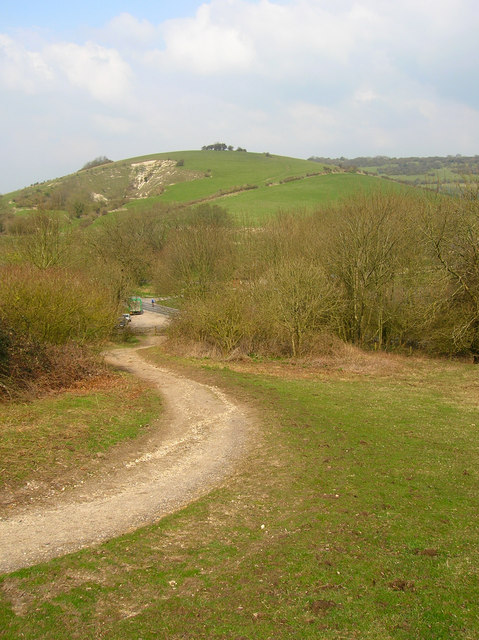
Albourne is a civil parish located in the district of Mid Sussex, West Sussex, England. Situated about 11 miles north of Brighton and Hove, the village lies at the foot of the South Downs National Park, offering picturesque views and a tranquil setting.

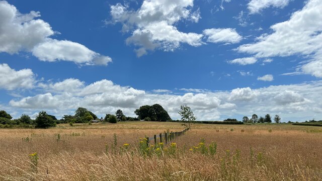
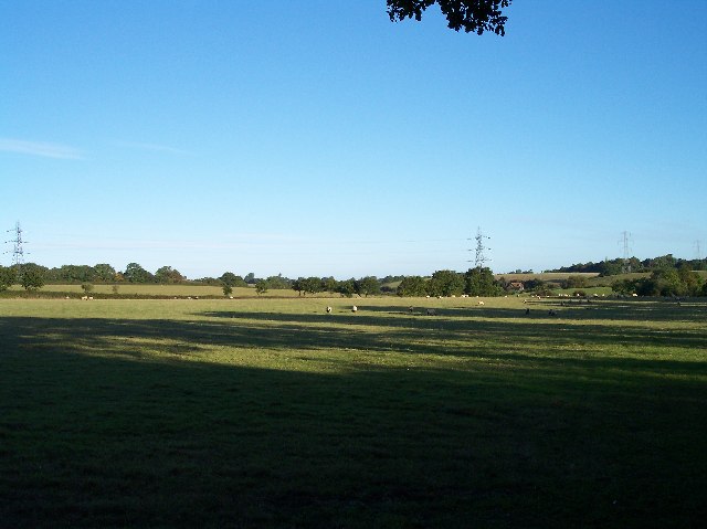
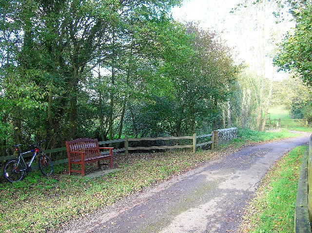
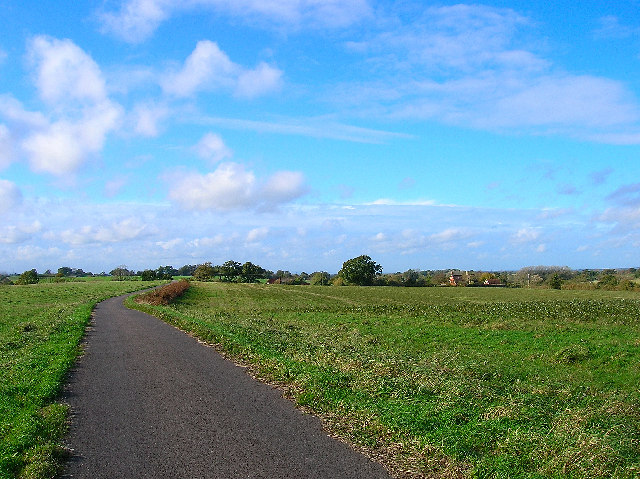
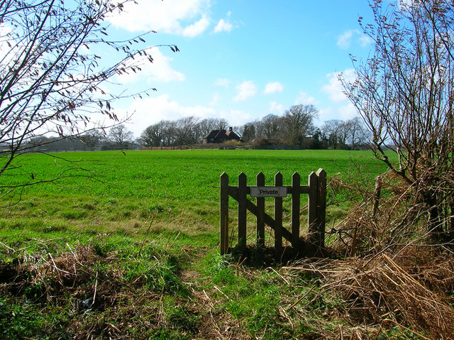
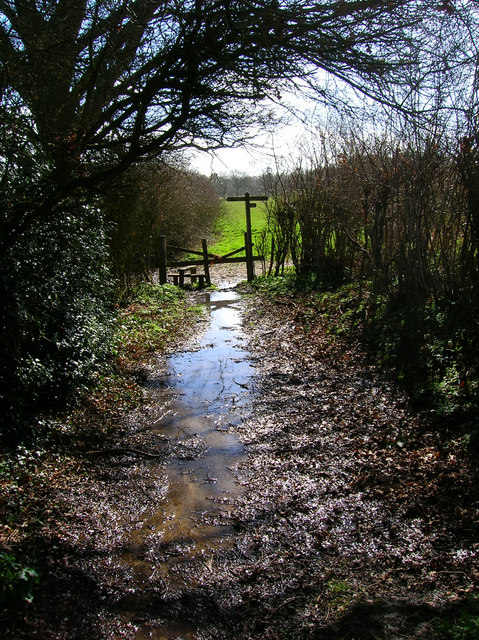
The parish covers an area of approximately 3.5 square miles and has a population of around 1,200 residents. Albourne is characterized by its rural charm, with a mix of historic buildings and modern constructions. It is renowned for its beautiful countryside, which attracts visitors and outdoor enthusiasts.

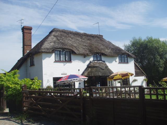
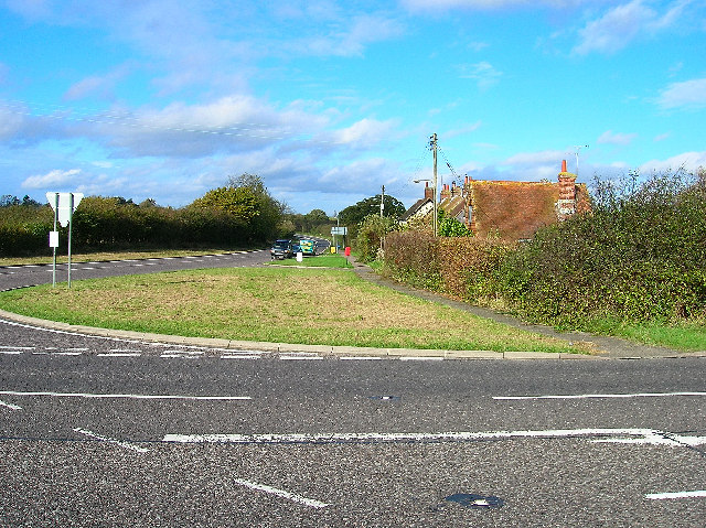
The village has a rich history dating back to the Roman times, with evidence of settlements and archaeological finds in the surrounding area. Today, Albourne retains its traditional English character, with a village green, a parish church, and a pub serving as a focal point for the community.

The economy of Albourne is predominantly agricultural, with farming and horticulture being significant industries in the area. The village is surrounded by farmland, where crops such as wheat, barley, and potatoes are grown, and livestock such as sheep and cattle are reared.

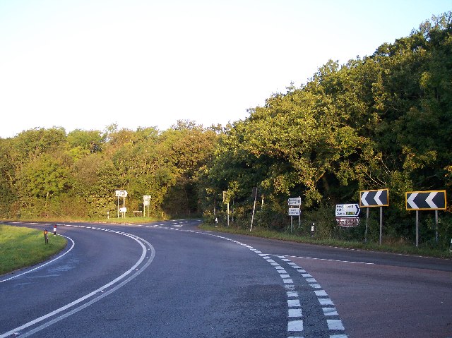
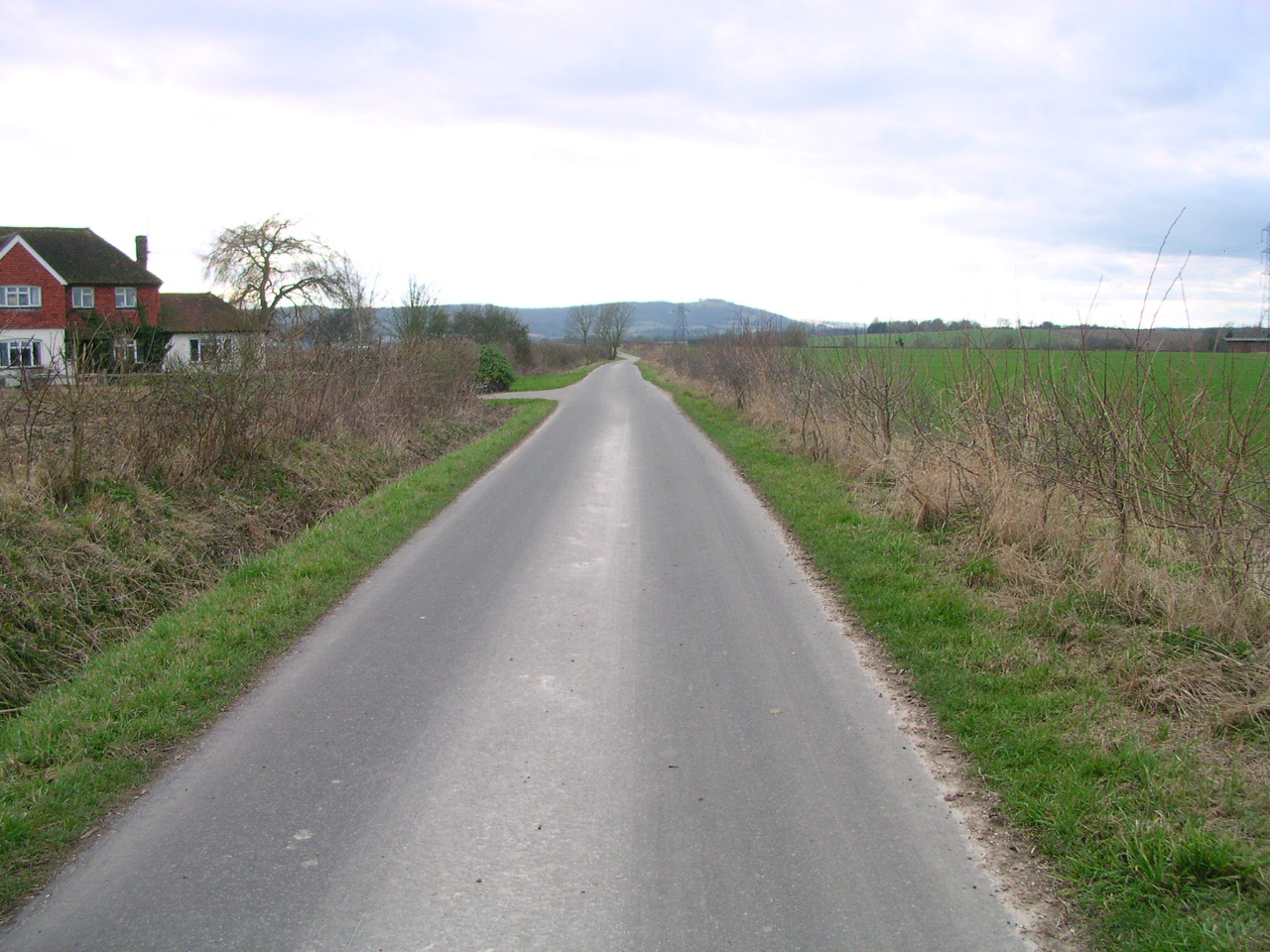
Albourne benefits from its close proximity to larger towns and cities, with easy access to transportation routes such as the A23 and A281. This allows residents to enjoy the rural charm of the village while still being within commuting distance of employment opportunities and amenities.

Overall, Albourne offers a peaceful and idyllic countryside setting, making it an attractive place to live or visit for those seeking a slower-paced and picturesque escape.

If you have any feedback on the listing, please let us know in the comments section below.
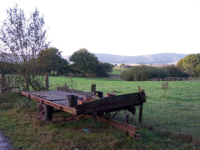
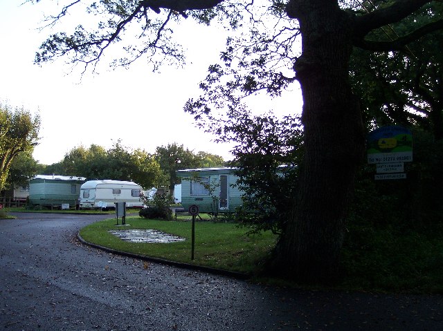
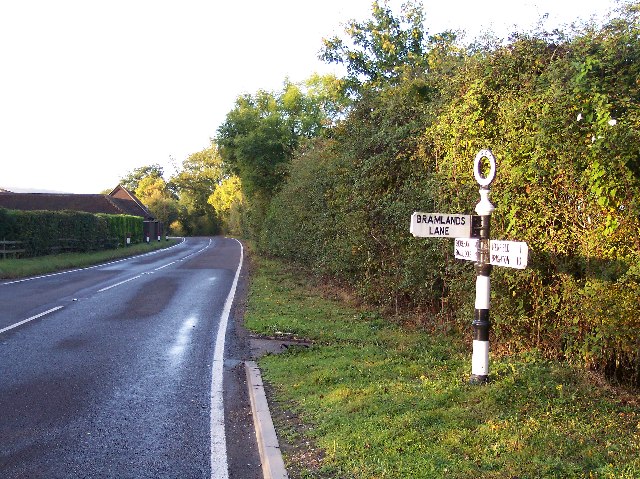
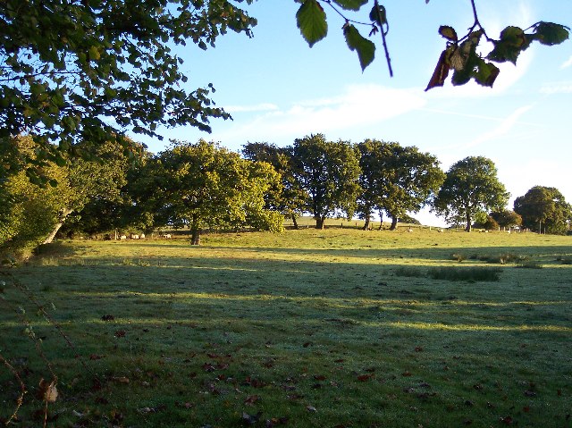
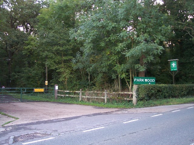
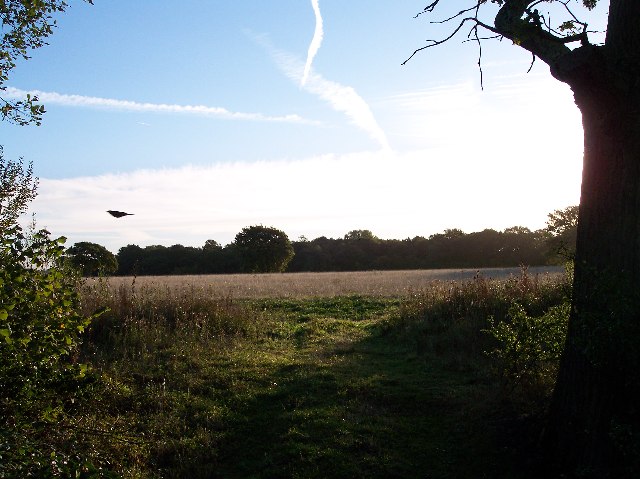
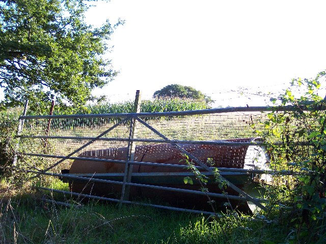
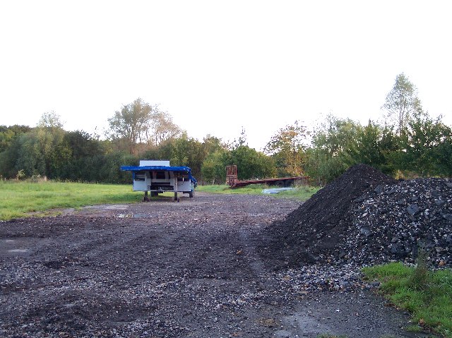
Albourne Images

Images are sourced within 2km of 50.916908/-0.218999 or Grid Reference TQ2514. Thanks to Geograph Open Source API. All images are credited.

Field boundary west of Wick Farm
Shaves Thatch Inn On the junction of B2117 and A281 is this Inn serving real ale and good food.
Shaves Thatch Inn
On the junction of B2117 and A281 is this Inn serving real ale and good food.
Rushfields Garden Centre On the Henfield Road at Poynings
Rushfields Garden Centre
On the Henfield Road at Poynings
Poynings Crossways Notice how the priority has changed to turn the crossroads into a double junction. Frighteningly dangerous!
Poynings Crossways
Notice how the priority has changed to turn the crossroads into a double junction. Frighteningly dangerous!
Trailer near the track to Brookfields Farm Looking south towards the Downs with (I think) Truleigh Hill in the far distance.
Trailer near the track to Brookfields Farm
Looking south towards the Downs with (I think) Truleigh Hill in the far distance.
Downsview Caravan Park With a field for tents at the rear.
Downsview Caravan Park
With a field for tents at the rear.
Old WSCC Road Sign near Woodmancote With the initials of West Sussex County Council on the circular top to the sign.
Looking south west down Horn Lane towards Oreham Common.
Old WSCC Road Sign near Woodmancote
With the initials of West Sussex County Council on the circular top to the sign. Looking south west down Horn Lane towards Oreham Common.
Sheep Pasture near Downer's Vineyard. Looking NE from near the stream at Brookhouse.
Sheep Pasture near Downer's Vineyard.
Looking NE from near the stream at Brookhouse.
Entrance to Scout Camp at Park Wood at the northern end of the wood near Park Cottages.
Entrance to Scout Camp at Park Wood
at the northern end of the wood near Park Cottages.
Shaves Wood at Dawn Taken from opposite East Wood Farm. Looking East almost directly towards the sun (behind the tree trunk) just catching the fleeing wildlife.
Shaves Wood at Dawn
Taken from opposite East Wood Farm. Looking East almost directly towards the sun (behind the tree trunk) just catching the fleeing wildlife.
Keep Out Determined to keep trespassers out - a well blocked gateway to protect the maize crop.
Keep Out
Determined to keep trespassers out - a well blocked gateway to protect the maize crop.
Trailers and old tarmac Opposite Holmbush Farm. Old road tarmac useful for patching farm lanes.
Trailers and old tarmac
Opposite Holmbush Farm. Old road tarmac useful for patching farm lanes.
Sheep and Pylons Viewed from near Holmbush Farm looking north west.
Sheep and Pylons
Viewed from near Holmbush Farm looking north west.
Resting place, Church Lane, Albourne A fine place to sit and have your lunch on a pleasant November afternoon. Looking north as the lane crosses Cutlers Brook before turning sharply right. My mode of transport is parked behind it.
Resting place, Church Lane, Albourne
A fine place to sit and have your lunch on a pleasant November afternoon. Looking north as the lane crosses Cutlers Brook before turning sharply right. My mode of transport is parked behind it.
Bishops Place, near Albourne Looking west down the driveway towards Bishops Place which is to the right of the picture. Spring Hills Golf Course can just be made out to the very left.
Bishops Place, near Albourne
Looking west down the driveway towards Bishops Place which is to the right of the picture. Spring Hills Golf Course can just be made out to the very left.
Muddleswood crossways Looking north across the B2117 up the former A23(T). The road south is now disused except as a cycle track and access point for two cottages. The nearest building is the former tollgate collection point for this stretch of the former London-Brighton turnpike.
Muddleswood crossways
Looking north across the B2117 up the former A23(T). The road south is now disused except as a cycle track and access point for two cottages. The nearest building is the former tollgate collection point for this stretch of the former London-Brighton turnpike.
Thou shalt not pass Broken gate on the footpath from Blackstone. This view looks west towards Four Elms.
Thou shalt not pass
Broken gate on the footpath from Blackstone. This view looks west towards Four Elms.
Junction of footpaths near Woodmancote Looking south down the path from Blackstone through the mud and water towards its junction with that which links Wick Farm and Blackstone Lane.
Junction of footpaths near Woodmancote
Looking south down the path from Blackstone through the mud and water towards its junction with that which links Wick Farm and Blackstone Lane.
Show me another place!

Albourne is located at Grid Ref: TQ2514 (Lat: 50.916908, Lng: -0.218999)

Administrative County: West Sussex

District: Mid Sussex

Police Authority: Sussex

What 3 Words

///threading.custom.zebra. Near Hurstpierpoint, West Sussex

Related Wikis

Woodmancote, Horsham District

Woodmancote is a village and civil parish in the Horsham District of West Sussex, England. The village is 1 mile (1.5 km) southeast of Henfield on the...

Newtimber Place

Newtimber Place is a Grade I listed building in the Mid Sussex district of West Sussex, England. The house sits on a D-shaped island in a moat. The oldest...

Newtimber

Newtimber is a small village and civil parish in the Mid Sussex District of West Sussex, England. It is located north-west of Brighton. The parish also...

Blackstone, West Sussex

Blackstone is a hamlet in the civil parish of Woodmancote and the Horsham district of West Sussex, England. Blackstone is significant for its listed...

Sussex Greensand Way

The Sussex Greensand Way is a Roman road that runs east-west linking the London to Lewes Way at Barcombe Mills to Stane Street at Hardham. The road, which...

Albourne

Albourne is a village and civil parish in the Mid Sussex district of West Sussex, England. It lies just off the A23 road three miles (4.8 km) east of Henfield...

Poynings

Poynings ( or locally ) is a village and civil parish in the Mid Sussex District of West Sussex, England. The parish lies wholly with the South Downs...

Mansion House, Hurstpierpoint

Mansion House is a prominent and historically significant Grade II* listed Georgian village property in Hurstpierpoint, West Sussex, England. The substantial...

Related Videos

Fulking Spring

Finding the location of an abundant natural spring at the foot of the South Downs on the border of West & East Sussex. Here ...

Having Fun in QLEISURE: The Best Place for Outdoor Activities

Join us as we are going for outdoor activities, i.e. Qleisure near London Rd, Albourne, Hassocks. Qleisure is the best destination ...

Nearby Amenities

Located within 500m of 50.916908,-0.218999
Wykenhurst
Place: locality
Lat/Long: 50.9178561/-0.2221621
The data included in this document is from www.openstreetmap.org. The data is made available under ODbL.

Have you been to Albourne?

Leave your review of Albourne below (or comments, questions and feedback).