Alberbury with Cardeston

Civil Parish in Shropshire

England

Alberbury with Cardeston

Ordnance Survey Flush Bracket 12144 This can be found on the wall of The Windmill PH near Rowton.
For more detail see : <span class="nowrap"><a title="http://www.bench-marks.org.uk/bm11674" rel="nofollow ugc noopener" href="http://www.bench-marks.org.uk/bm11674">Link</a><img style="margin-left:2px;" alt="External link" title="External link - shift click to open in new window" src="https://s1.geograph.org.uk/img/external.png" width="10" height="10"/></span>
Ordnance Survey Flush Bracket 12144 Credit: Peter Wood

Alberbury with Cardeston is a civil parish located in the county of Shropshire, England. It is situated approximately 10 miles southwest of the county town, Shrewsbury. The parish is made up of two main villages, Alberbury and Cardeston, along with a number of smaller hamlets and rural areas.

Alberbury is the larger of the two villages and serves as the administrative center for the parish. It is a picturesque village with a rich history dating back to medieval times. The village is known for its charming cottages and traditional architecture, which give it a timeless appeal. It has a small but active community, with amenities such as a village hall, a primary school, and a local pub.

Cardeston, on the other hand, is a smaller village located to the east of Alberbury. It is a quaint and peaceful village with a close-knit community. The village is surrounded by beautiful countryside, offering residents and visitors ample opportunities for outdoor activities such as walking, cycling, and horse riding.

The wider parish area is predominantly rural, characterized by rolling hills, farmland, and woodland. It is an area of natural beauty, with several nature reserves and protected areas, including the Shropshire Hills Area of Outstanding Natural Beauty.

Overall, Alberbury with Cardeston is a charming civil parish that offers residents a peaceful and idyllic setting to live in. With its rich history, beautiful landscapes, and strong sense of community, it is a place that has retained its rural charm while still being within easy reach of larger towns and cities.

If you have any feedback on the listing, please let us know in the comments section below.

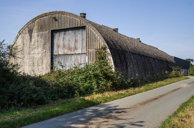
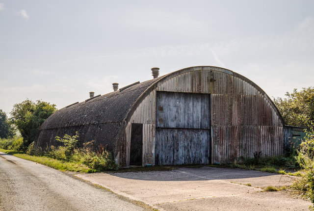
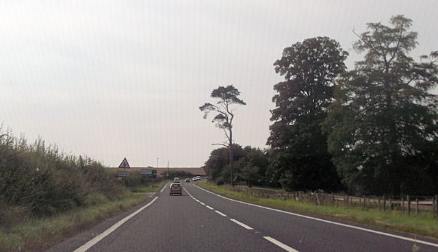
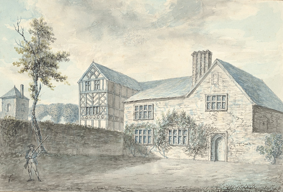
Alberbury with Cardeston Images

Images are sourced within 2km of 52.712716/-2.913404 or Grid Reference SJ3813. Thanks to Geograph Open Source API. All images are credited.

Ordnance Survey Flush Bracket 12144 This can be found on the wall of The Windmill PH near Rowton.
For more detail see : <span class="nowrap"><a title="http://www.bench-marks.org.uk/bm11674" rel="nofollow ugc noopener" href="http://www.bench-marks.org.uk/bm11674">Link</a><img style="margin-left:2px;" alt="External link" title="External link - shift click to open in new window" src="https://s1.geograph.org.uk/img/external.png" width="10" height="10"/></span>
Ordnance Survey Flush Bracket 12144
This can be found on the wall of The Windmill PH near Rowton. For more detail see : LinkExternal link
The B4393 heads for the hills And Wales.
The B4393 heads for the hills
And Wales.
Old Milestone by the B4393, Alberbury Road, east of Alberbury Carved stone post by the B4393, in parish of ALBERBURY WITH CARDESTON (SHREWSBURY AND ATCHAM District), Alberbury Road; 45m West of Stockfield, by the road.   Erected by the Shrewsbury to Welshpool turnpike trust in the 19th century. Damaged.

Inscription once read:-
(Shrewsbury 7)
Carved benchmark recorded.

Grade II listed.  
List Entry Number: 1366871 <span class="nowrap"><a title="https://historicengland.org.uk/listing/the-list/list-entry/1366871" rel="nofollow ugc noopener" href="https://historicengland.org.uk/listing/the-list/list-entry/1366871">Link</a><img style="margin-left:2px;" alt="External link" title="External link - shift click to open in new window" src="https://s1.geograph.org.uk/img/external.png" width="10" height="10"/></span>

Milestone Society National ID: SA_LFSB18.
Old Milestone by the B4393, Alberbury Road, east of Alberbury
Carved stone post by the B4393, in parish of ALBERBURY WITH CARDESTON (SHREWSBURY AND ATCHAM District), Alberbury Road; 45m West of Stockfield, by the road. Erected by the Shrewsbury to Welshpool turnpike trust in the 19th century. Damaged. Inscription once read:- (Shrewsbury 7) Carved benchmark recorded. Grade II listed. List Entry Number: 1366871 LinkExternal link Milestone Society National ID: SA_LFSB18.
WWII Shropshire: AA Searchlight Site (1) -
AA Searchlight: EDoB ID: e09911

In the undergrowth at Bentham Hall Farm behind this Romney hut, are the remains of Second World War Nissen huts that were apparently associated with the searchlight battery at Nib Heath. The Romney hut here is the sole survivor.

<a href="https://www.geograph.org.uk/photo/6617110">SJ3913 : WWII Shropshire: AA Searchlight Site (2)</a>
WWII Shropshire: AA Searchlight Site (1)
- AA Searchlight: EDoB ID: e09911 In the undergrowth at Bentham Hall Farm behind this Romney hut, are the remains of Second World War Nissen huts that were apparently associated with the searchlight battery at Nib Heath. The Romney hut here is the sole survivor. SJ3913 : WWII Shropshire: AA Searchlight Site (2)
WWII Shropshire: AA Searchlight Site (2) -
AA Searchlight: EDoB ID: e09911

<a href="https://www.geograph.org.uk/photo/6617103">SJ3913 : WWII Shropshire: AA Searchlight Site (1)</a>
WWII Shropshire: AA Searchlight Site (2)
- AA Searchlight: EDoB ID: e09911 SJ3913 : WWII Shropshire: AA Searchlight Site (1)
Rowton Castle Rowton Castle is now a hotel
Rowton Castle
Rowton Castle is now a hotel
St. Michael's church, Cardeston, Shropshire A fairly unique tower design on this church makes it interesting and arresting.
St. Michael's church, Cardeston, Shropshire
A fairly unique tower design on this church makes it interesting and arresting.
The Windmill, Rowton
A458 passing woods by Whiston Priory
Yockleton road junction at Cardeston From A458 westbound
Yockleton road junction at Cardeston
From A458 westbound
A458 at Rock Villa entrance
A458 at entrance to Cardeston Park Farm
Rowton Castle Hotel entrance from A458
A458 approaching Rowton junction
Severn Valley view from Rowton Castle Hotel, 1990 View NE - lovely scene.
Severn Valley view from Rowton Castle Hotel, 1990
View NE - lovely scene.
Road to Little Shrawardine Little Shrawardine is a farm.
Road to Little Shrawardine
Little Shrawardine is a farm.
B4393, Alberbury Road Looking west.
B4393, Alberbury Road
Looking west.
St. Michael's Church, Cardeston Rather an interesting tower on this little church just off the A458 a few miles from Shrewsbury
St. Michael's Church, Cardeston
Rather an interesting tower on this little church just off the A458 a few miles from Shrewsbury
Show me another place!

Alberbury with Cardeston is located at Grid Ref: SJ3813 (Lat: 52.712716, Lng: -2.913404)

Unitary Authority: Shropshire

Police Authority: West Mercia

What 3 Words

///smile.stalemate.lucky. Near Ford, Shropshire

Nearby Locations

Alberbury with Cardeston

Related Wikis

Rowton Castle

Rowton Castle, near Shrewsbury, Shropshire, England, is a Grade II* listed country house that was once the home of the Royal National College for the Blind...

Alberbury with Cardeston

Alberbury with Cardeston is a civil parish in Shropshire, England. According to the 2001 census it had a population of 645 (though in 2005 the parish expanded...

Cardeston

Cardeston is a small settlement in the civil parish of Alberbury with Cardeston, in Shropshire, England. It is near the A458 road and is 11 miles (18 km...

Whistones Priory

Whistones Priory was a priory in Worcestershire, England. The House of St. Mary Magdalene, at Whistones, of the order of St. Bernard of Clairvaux, located...

Alberbury Priory

Alberbury Priory was a medieval monastic house in Alberbury, Shropshire, England, established c.1230. It was one of three houses in England belonging...

A458 road

The A458 is a route on the UK highway network that runs from Mallwyd, near Machynlleth, in Wales, merging with the A456 Hagley Road and the Quinton Expressway...

Ford and Crossgates railway station

Ford and Crossgates railway station was a station in Ford, Shropshire, England. The station was opened in 1866 and closed in 1933. == References == �...

Shrawardine

Shrawardine is a small village and former civil parish, now in the parish of Montford, in the Shropshire district, in the ceremonial county of Shropshire...

Have you been to Alberbury with Cardeston?

Leave your review of Alberbury with Cardeston below (or comments, questions and feedback).