Holmbush Plantation

Wood, Forest in Sussex Mid Sussex

England

Holmbush Plantation

Field boundary west of Wick Farm
Field boundary west of Wick Farm Credit: Ian Cunliffe

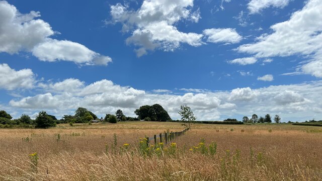
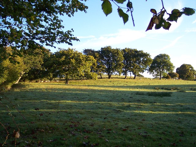
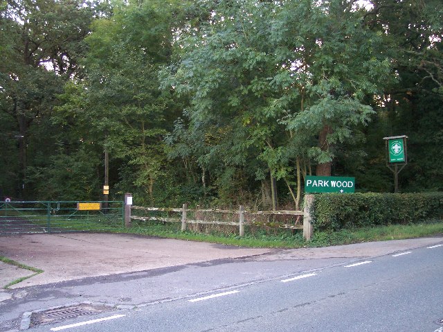
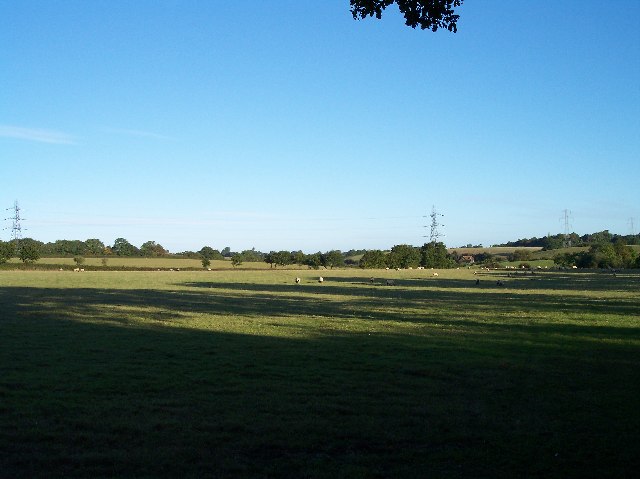
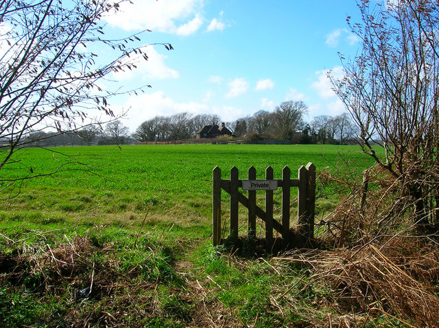
Holmbush Plantation is a picturesque woodland located in West Sussex, England. Covering an area of approximately 200 hectares, it is a popular destination for nature enthusiasts and outdoor adventurers. The plantation is situated near the village of Faygate, just a few miles north of the town of Horsham.

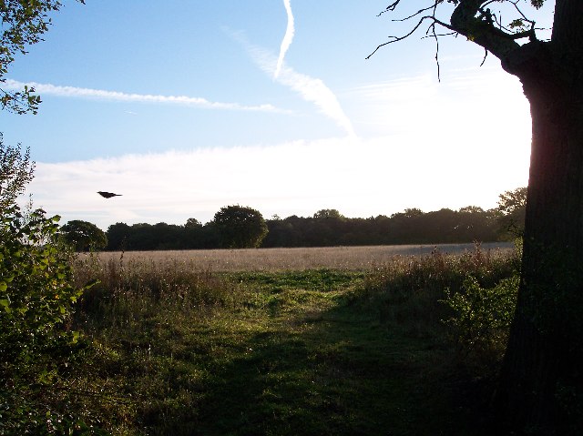
The woodland is predominantly comprised of native broadleaf trees, such as oak, beech, and ash, which create a diverse and vibrant ecosystem. The dense canopy provides a sheltered habitat for a wide range of wildlife, including various bird species, mammals, and insects. The plantation is particularly known for its rich birdlife, with species such as woodpeckers, nightjars, and warblers frequently spotted among the trees.

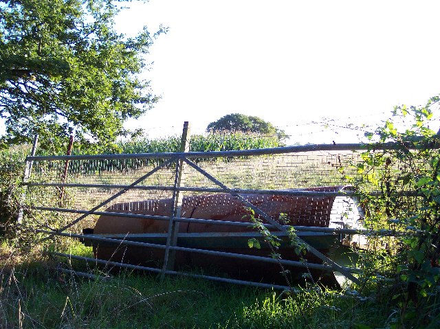
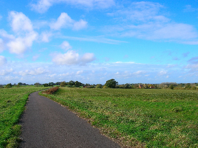
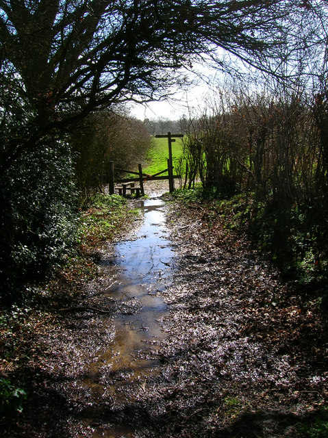
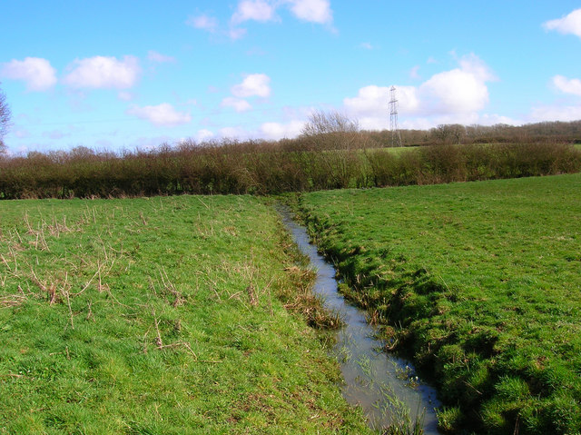
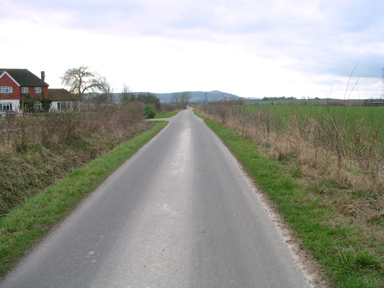
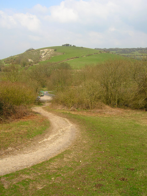
Holmbush Plantation offers a network of well-maintained walking trails, allowing visitors to explore its natural beauty at their own pace. These paths wind through the woodland, passing by tranquil ponds, meandering streams, and open clearings. The plantation also features a number of picnic areas, making it an ideal spot for a leisurely outdoor lunch or a family gathering.

In addition to its natural attractions, Holmbush Plantation is home to a variety of outdoor activities. It has a designated area for mountain biking, with trails suitable for both beginners and experienced riders. The plantation also hosts regular orienteering events, providing a challenging and fun experience for those interested in navigation and map-reading skills.

Overall, Holmbush Plantation is a cherished natural gem in Sussex, offering a peaceful retreat for nature lovers, a playground for outdoor enthusiasts, and an educational environment for those interested in the local flora and fauna.

If you have any feedback on the listing, please let us know in the comments section below.

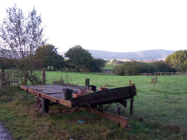
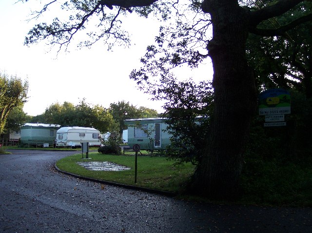
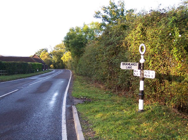
Holmbush Plantation Images

Images are sourced within 2km of 50.914704/-0.22173134 or Grid Reference TQ2514. Thanks to Geograph Open Source API. All images are credited.

Field boundary west of Wick Farm
Shaves Thatch Inn On the junction of B2117 and A281 is this Inn serving real ale and good food.
Shaves Thatch Inn
On the junction of B2117 and A281 is this Inn serving real ale and good food.
Rushfields Garden Centre On the Henfield Road at Poynings
Rushfields Garden Centre
On the Henfield Road at Poynings
Poynings Crossways Notice how the priority has changed to turn the crossroads into a double junction. Frighteningly dangerous!
Poynings Crossways
Notice how the priority has changed to turn the crossroads into a double junction. Frighteningly dangerous!
Trailer near the track to Brookfields Farm Looking south towards the Downs with (I think) Truleigh Hill in the far distance.
Trailer near the track to Brookfields Farm
Looking south towards the Downs with (I think) Truleigh Hill in the far distance.
Downsview Caravan Park With a field for tents at the rear.
Downsview Caravan Park
With a field for tents at the rear.
Old WSCC Road Sign near Woodmancote With the initials of West Sussex County Council on the circular top to the sign.
Looking south west down Horn Lane towards Oreham Common.
Old WSCC Road Sign near Woodmancote
With the initials of West Sussex County Council on the circular top to the sign. Looking south west down Horn Lane towards Oreham Common.
Sheep Pasture near Downer's Vineyard. Looking NE from near the stream at Brookhouse.
Sheep Pasture near Downer's Vineyard.
Looking NE from near the stream at Brookhouse.
Entrance to Scout Camp at Park Wood at the northern end of the wood near Park Cottages.
Entrance to Scout Camp at Park Wood
at the northern end of the wood near Park Cottages.
Shaves Wood at Dawn Taken from opposite East Wood Farm. Looking East almost directly towards the sun (behind the tree trunk) just catching the fleeing wildlife.
Shaves Wood at Dawn
Taken from opposite East Wood Farm. Looking East almost directly towards the sun (behind the tree trunk) just catching the fleeing wildlife.
Keep Out Determined to keep trespassers out - a well blocked gateway to protect the maize crop.
Keep Out
Determined to keep trespassers out - a well blocked gateway to protect the maize crop.
Trailers and old tarmac Opposite Holmbush Farm. Old road tarmac useful for patching farm lanes.
Trailers and old tarmac
Opposite Holmbush Farm. Old road tarmac useful for patching farm lanes.
Sheep and Pylons Viewed from near Holmbush Farm looking north west.
Sheep and Pylons
Viewed from near Holmbush Farm looking north west.
Bishops Place, near Albourne Looking west down the driveway towards Bishops Place which is to the right of the picture. Spring Hills Golf Course can just be made out to the very left.
Bishops Place, near Albourne
Looking west down the driveway towards Bishops Place which is to the right of the picture. Spring Hills Golf Course can just be made out to the very left.
Muddleswood crossways Looking north across the B2117 up the former A23(T). The road south is now disused except as a cycle track and access point for two cottages. The nearest building is the former tollgate collection point for this stretch of the former London-Brighton turnpike.
Muddleswood crossways
Looking north across the B2117 up the former A23(T). The road south is now disused except as a cycle track and access point for two cottages. The nearest building is the former tollgate collection point for this stretch of the former London-Brighton turnpike.
Thou shalt not pass Broken gate on the footpath from Blackstone. This view looks west towards Four Elms.
Thou shalt not pass
Broken gate on the footpath from Blackstone. This view looks west towards Four Elms.
Junction of footpaths near Woodmancote Looking south down the path from Blackstone through the mud and water towards its junction with that which links Wick Farm and Blackstone Lane.
Junction of footpaths near Woodmancote
Looking south down the path from Blackstone through the mud and water towards its junction with that which links Wick Farm and Blackstone Lane.
Small Brook near Woodmancote Looking east as the brook makes its way towards the lake at Wick Farm.
Small Brook near Woodmancote
Looking east as the brook makes its way towards the lake at Wick Farm.
Show me another place!

Holmbush Plantation is located at Grid Ref: TQ2514 (Lat: 50.914704, Lng: -0.22173134)

Administrative County: West Sussex

District: Mid Sussex

Police Authority: Sussex

What 3 Words

///foresight.formally.mocked. Near Hurstpierpoint, West Sussex

Related Wikis

Woodmancote, Horsham District

Woodmancote is a village and civil parish in the Horsham District of West Sussex, England. The village is 1 mile (1.5 km) southeast of Henfield on the...

Newtimber Place

Newtimber Place is a Grade I listed building in the Mid Sussex district of West Sussex, England. The house sits on a D-shaped island in a moat. The oldest...

Sussex Greensand Way

The Sussex Greensand Way is a Roman road that runs east-west linking the London to Lewes Way at Barcombe Mills to Stane Street at Hardham. The road, which...

Newtimber

Newtimber is a small village and civil parish in the Mid Sussex District of West Sussex, England. It is located north-west of Brighton. The parish also...

Blackstone, West Sussex

Blackstone is a hamlet in the civil parish of Woodmancote and the Horsham district of West Sussex, England. Blackstone is significant for its listed...

Poynings

Poynings ( or locally ) is a village and civil parish in the Mid Sussex District of West Sussex, England. The parish lies wholly with the South Downs...

Albourne

Albourne is a village and civil parish in the Mid Sussex district of West Sussex, England. It lies just off the A23 road three miles (4.8 km) east of Henfield...

Fulking

Fulking is a village and civil parish in the Mid Sussex District of West Sussex, England. The parish lies wholly with the South Downs National Park. The...

Nearby Amenities

Located within 500m of 50.914704,-0.22173134
Bus Stop
Holmbush Farm
Naptan AtcoCode: 4400MS0406
Naptan Bearing: E
Naptan CommonName: Holmbush Farm
Naptan Indicator: Holmbush Farm
Naptan Landmark: Clappers Lane
Naptan NaptanCode: wsxdtagw
Naptan Street: A281
Naptan Verified: no
Public Transport: platform
Source: naptan_import
Lat/Long: 50.9124557/-0.2253608
Post Box
Operator: Royal Mail
Post Box Type: lamp
Ref: BN5 1361
Royal Cypher: EIIR
Royal Cypher Wikidata: Q33102113
Lat/Long: 50.9113365/-0.2244821
Wykenhurst
Place: locality
Lat/Long: 50.9178561/-0.2221621
Give Way
Direction: forward
Lat/Long: 50.9135302/-0.2159602
Bus Stop
Holmbush Farm
Bus: yes
Naptan AtcoCode: 4400MS0422
Naptan Bearing: W
Naptan CommonName: Holmbush Farm
Naptan Indicator: Holmbush Farm
Naptan Landmark: Holmbush Farm
Naptan NaptanCode: wsxtwdgp
Naptan Street: A281
Naptan Verified: no
Public Transport: platform
Source: naptan_import
Lat/Long: 50.9120172/-0.2244204
Give Way
Direction: forward
Lat/Long: 50.9135021/-0.2155045
Give Way
Direction: forward
Lat/Long: 50.9134971/-0.2161799
The data included in this document is from www.openstreetmap.org. The data is made available under ODbL.

Have you been to Holmbush Plantation?

Leave your review of Holmbush Plantation below (or comments, questions and feedback).