Calves Wood

Wood, Forest in Sussex Mid Sussex

England

Calves Wood

Field boundary west of Wick Farm
Field boundary west of Wick Farm Credit: Ian Cunliffe

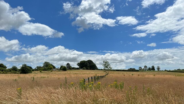
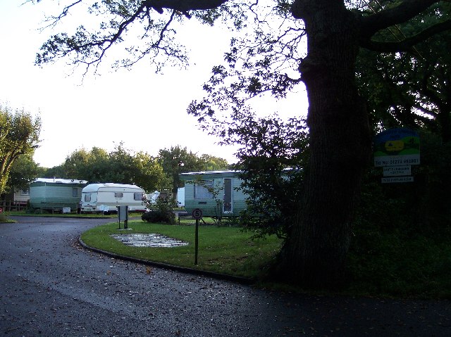
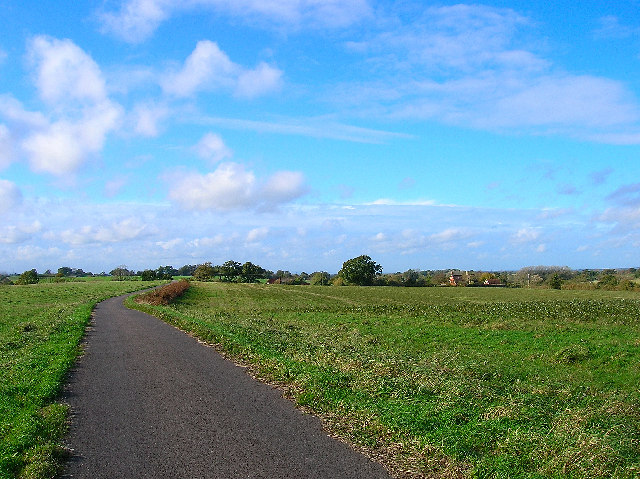
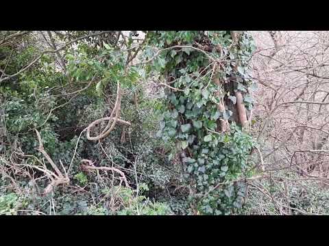
Calves Wood is a picturesque woodland located in Sussex, England. It is a small yet enchanting forest, covering an area of approximately 50 acres. The wood is situated just a few miles outside of the charming village of Sussex, making it easily accessible to visitors.

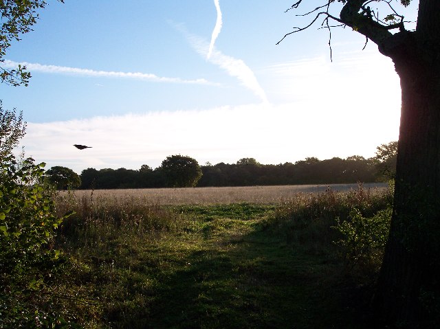
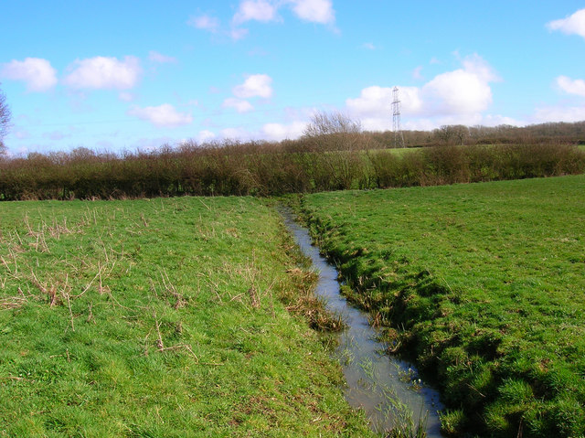
The forest is predominantly made up of broadleaf trees, with a stunning array of oak, ash, beech, and birch trees that create a captivating canopy overhead. The woodland floor is covered in a lush carpet of ferns, wildflowers, and moss, giving it a vibrant and magical atmosphere.

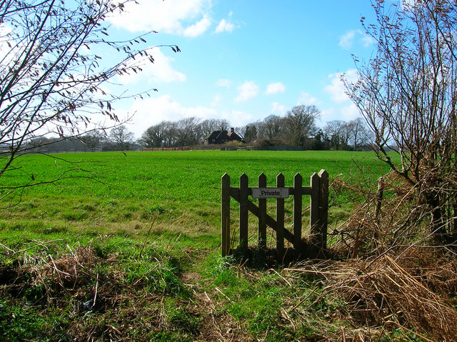
Calves Wood is home to a diverse range of wildlife, making it an ideal destination for nature enthusiasts and birdwatchers. Visitors may be fortunate enough to spot roe deer, foxes, badgers, and a variety of bird species, including woodpeckers, owls, and songbirds.

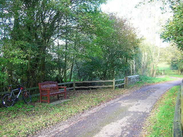
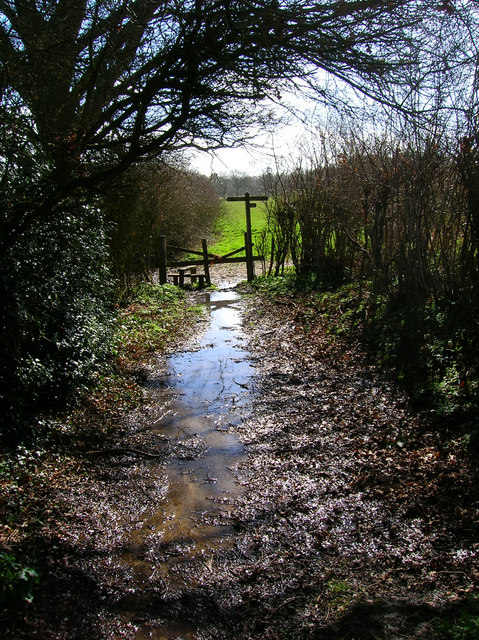
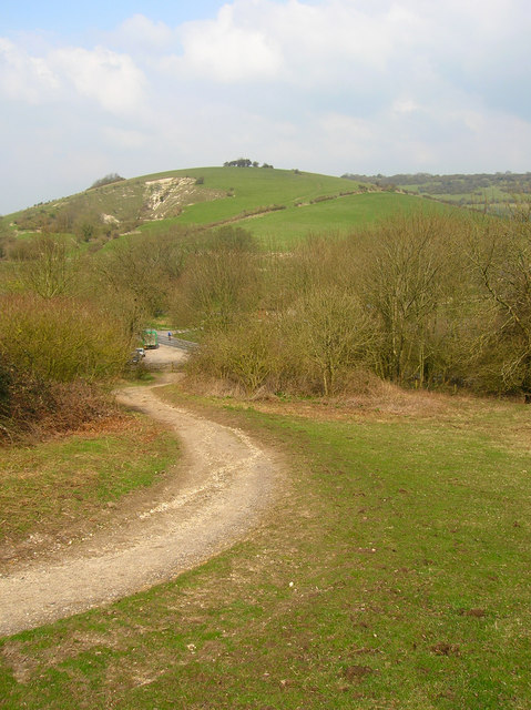
There are several walking trails that wind through the wood, allowing visitors to explore its beauty at their own pace. These trails are well-maintained, making them accessible for all ages and abilities. Along the way, benches are strategically placed, offering a peaceful spot for visitors to rest and soak in the tranquil surroundings.

The wood is open to the public year-round, and during the spring and summer months, it is particularly popular for picnics and family outings. The dense foliage provides ample shade on hot summer days, making it a refreshing escape from the heat.

Overall, Calves Wood is a serene and enchanting forest, offering visitors a peaceful retreat amidst the natural beauty of Sussex. Whether one seeks solitude, wildlife spotting, or a leisurely stroll, this woodland provides a delightful experience for all who venture within its borders.

If you have any feedback on the listing, please let us know in the comments section below.
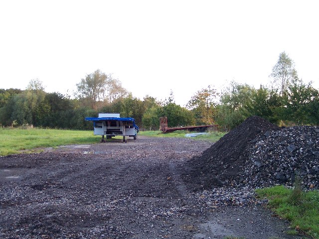
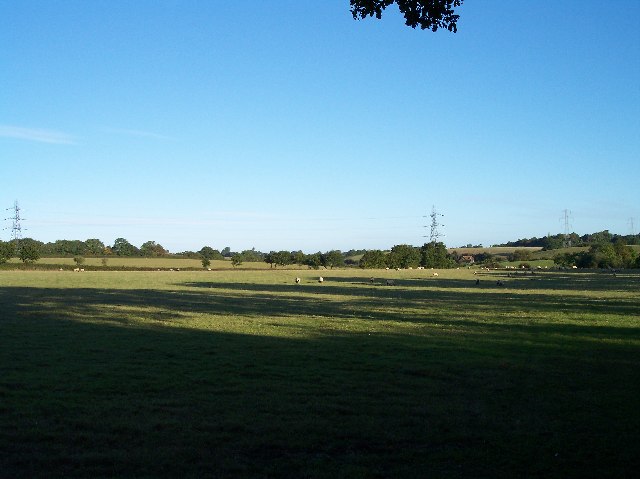
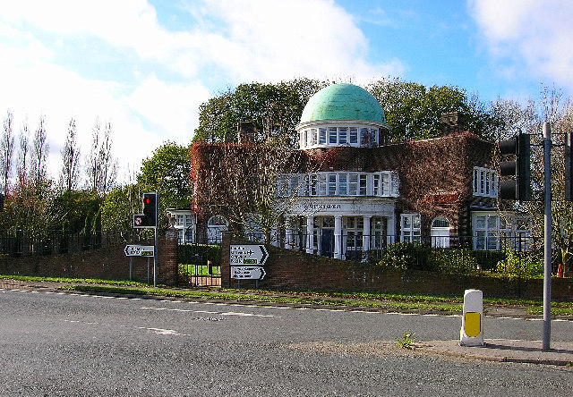
Calves Wood Images

Images are sourced within 2km of 50.919871/-0.21612787 or Grid Reference TQ2514. Thanks to Geograph Open Source API. All images are credited.

Field boundary west of Wick Farm
Shaves Thatch Inn On the junction of B2117 and A281 is this Inn serving real ale and good food.
Shaves Thatch Inn
On the junction of B2117 and A281 is this Inn serving real ale and good food.
Poynings Crossways Notice how the priority has changed to turn the crossroads into a double junction. Frighteningly dangerous!
Poynings Crossways
Notice how the priority has changed to turn the crossroads into a double junction. Frighteningly dangerous!
Trailer near the track to Brookfields Farm Looking south towards the Downs with (I think) Truleigh Hill in the far distance.
Trailer near the track to Brookfields Farm
Looking south towards the Downs with (I think) Truleigh Hill in the far distance.
Downsview Caravan Park With a field for tents at the rear.
Downsview Caravan Park
With a field for tents at the rear.
Entrance to Scout Camp at Park Wood at the northern end of the wood near Park Cottages.
Entrance to Scout Camp at Park Wood
at the northern end of the wood near Park Cottages.
Shaves Wood at Dawn Taken from opposite East Wood Farm. Looking East almost directly towards the sun (behind the tree trunk) just catching the fleeing wildlife.
Shaves Wood at Dawn
Taken from opposite East Wood Farm. Looking East almost directly towards the sun (behind the tree trunk) just catching the fleeing wildlife.
Keep Out Determined to keep trespassers out - a well blocked gateway to protect the maize crop.
Keep Out
Determined to keep trespassers out - a well blocked gateway to protect the maize crop.
Trailers and old tarmac Opposite Holmbush Farm. Old road tarmac useful for patching farm lanes.
Trailers and old tarmac
Opposite Holmbush Farm. Old road tarmac useful for patching farm lanes.
Sheep and Pylons Viewed from near Holmbush Farm looking north west.
Sheep and Pylons
Viewed from near Holmbush Farm looking north west.
Softtech Global, London Road, Albourne Much change of usage is in evidence here. The road in the foreground up to 1990 was the A23(T) which has now been superseded by the dual carriageway which runs to the west. The building in the background was originally an inn. Built in 1938 by A.B.Peckham to cater for the growing motoring trade. Taken from the junction with the B2116 looking west.
Softtech Global, London Road, Albourne
Much change of usage is in evidence here. The road in the foreground up to 1990 was the A23(T) which has now been superseded by the dual carriageway which runs to the west. The building in the background was originally an inn. Built in 1938 by A.B.Peckham to cater for the growing motoring trade. Taken from the junction with the B2116 looking west.
Resting place, Church Lane, Albourne A fine place to sit and have your lunch on a pleasant November afternoon. Looking north as the lane crosses Cutlers Brook before turning sharply right. My mode of transport is parked behind it.
Resting place, Church Lane, Albourne
A fine place to sit and have your lunch on a pleasant November afternoon. Looking north as the lane crosses Cutlers Brook before turning sharply right. My mode of transport is parked behind it.
Bishops Place, near Albourne Looking west down the driveway towards Bishops Place which is to the right of the picture. Spring Hills Golf Course can just be made out to the very left.
Bishops Place, near Albourne
Looking west down the driveway towards Bishops Place which is to the right of the picture. Spring Hills Golf Course can just be made out to the very left.
Muddleswood crossways Looking north across the B2117 up the former A23(T). The road south is now disused except as a cycle track and access point for two cottages. The nearest building is the former tollgate collection point for this stretch of the former London-Brighton turnpike.
Muddleswood crossways
Looking north across the B2117 up the former A23(T). The road south is now disused except as a cycle track and access point for two cottages. The nearest building is the former tollgate collection point for this stretch of the former London-Brighton turnpike.
Blackstone Street, Blackstone A hamlet within the parish of Woodmancote that has existed for at least 800 years. This view looks west up the village street part of which is obscured by the smoke from a bonfire at Blackstone Farm.
Blackstone Street, Blackstone
A hamlet within the parish of Woodmancote that has existed for at least 800 years. This view looks west up the village street part of which is obscured by the smoke from a bonfire at Blackstone Farm.
Thou shalt not pass Broken gate on the footpath from Blackstone. This view looks west towards Four Elms.
Thou shalt not pass
Broken gate on the footpath from Blackstone. This view looks west towards Four Elms.
Junction of footpaths near Woodmancote Looking south down the path from Blackstone through the mud and water towards its junction with that which links Wick Farm and Blackstone Lane.
Junction of footpaths near Woodmancote
Looking south down the path from Blackstone through the mud and water towards its junction with that which links Wick Farm and Blackstone Lane.
Small Brook near Woodmancote Looking east as the brook makes its way towards the lake at Wick Farm.
Small Brook near Woodmancote
Looking east as the brook makes its way towards the lake at Wick Farm.
Show me another place!

Calves Wood is located at Grid Ref: TQ2514 (Lat: 50.919871, Lng: -0.21612787)

Administrative County: West Sussex

District: Mid Sussex

Police Authority: Sussex

What 3 Words

///choirs.mild.laminated. Near Hurstpierpoint, West Sussex

Related Wikis

Newtimber Place

Newtimber Place is a Grade I listed building in the Mid Sussex district of West Sussex, England. The house sits on a D-shaped island in a moat. The oldest...

Blackstone, West Sussex

Blackstone is a hamlet in the civil parish of Woodmancote and the Horsham district of West Sussex, England. Blackstone is significant for its listed...

Albourne

Albourne is a village and civil parish in the Mid Sussex district of West Sussex, England. It lies just off the A23 road three miles (4.8 km) east of Henfield...

Newtimber

Newtimber is a small village and civil parish in the Mid Sussex District of West Sussex, England. It is located north-west of Brighton. The parish also...

Woodmancote, Horsham District

Woodmancote is a village and civil parish in the Horsham District of West Sussex, England. The village is 1 mile (1.5 km) southeast of Henfield on the...

Sussex Greensand Way

The Sussex Greensand Way is a Roman road that runs east-west linking the London to Lewes Way at Barcombe Mills to Stane Street at Hardham. The road, which...

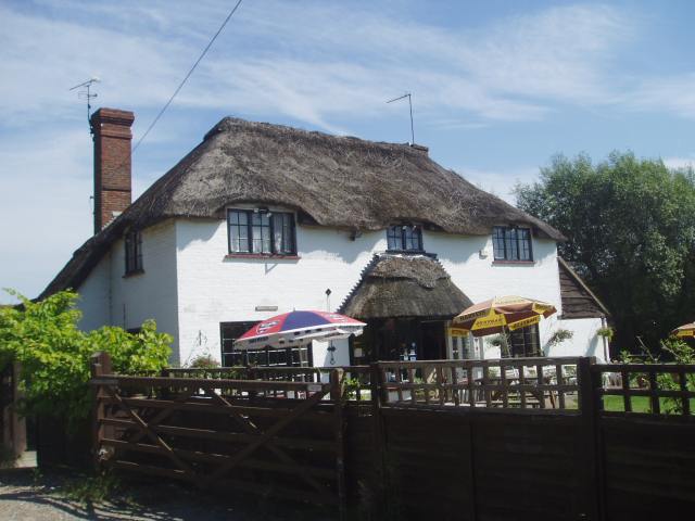
Mansion House, Hurstpierpoint

Mansion House is a prominent and historically significant Grade II* listed Georgian village property in Hurstpierpoint, West Sussex, England. The substantial...

Hurstpierpoint

Hurstpierpoint is a village in West Sussex, England, 4 miles (6.4 km) southwest of Burgess Hill, and 1.5 miles (2.4 km) west of Hassocks railway station...

Related Videos

Fulking Spring

Finding the location of an abundant natural spring at the foot of the South Downs on the border of West & East Sussex. Here ...

Having Fun in QLEISURE: The Best Place for Outdoor Activities

Join us as we are going for outdoor activities, i.e. Qleisure near London Rd, Albourne, Hassocks. Qleisure is the best destination ...

Nearby Amenities

Located within 500m of 50.919871,-0.21612787
Wykenhurst
Place: locality
Lat/Long: 50.9178561/-0.2221621
The data included in this document is from www.openstreetmap.org. The data is made available under ODbL.

Have you been to Calves Wood?

Leave your review of Calves Wood below (or comments, questions and feedback).