Coldharbour Wood

Wood, Forest in Sussex Mid Sussex

England

Coldharbour Wood

Field boundary west of Wick Farm
Field boundary west of Wick Farm Credit: Ian Cunliffe

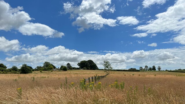
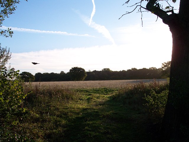
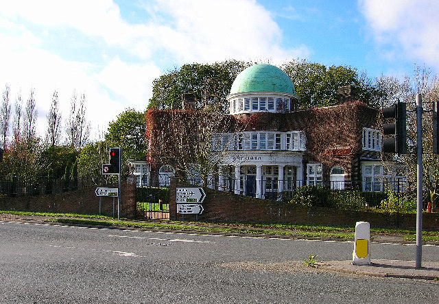
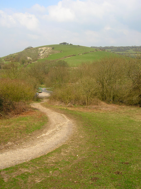
Coldharbour Wood is a picturesque forest located in Sussex, a county in the South East of England. Spanning across an area of approximately 50 acres, this woodland is known for its natural beauty, diverse wildlife, and tranquil atmosphere.

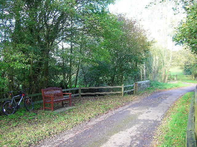
The wood is predominantly composed of deciduous trees, including oak, birch, and beech, which provide a stunning display of colors during the autumn months. The forest floor is covered with a rich carpet of ferns, mosses, and wildflowers, further enhancing the enchanting ambiance of the wood.

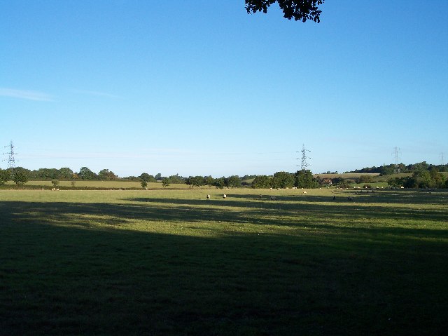
Coldharbour Wood is a haven for wildlife enthusiasts, as it is home to a wide range of animal species. Visitors may spot deer, foxes, badgers, and a variety of bird species, including woodpeckers, owls, and thrushes. The forest also serves as an important habitat for rare and protected species, such as the dormouse and the great crested newt.

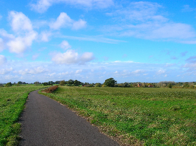
The wood offers several walking trails, allowing visitors to explore its natural wonders at their own pace. These paths wind through the trees, providing opportunities for peaceful walks and picnics amidst stunning scenery. The forest is also a popular spot for nature photography, with its picturesque landscapes and abundant wildlife.

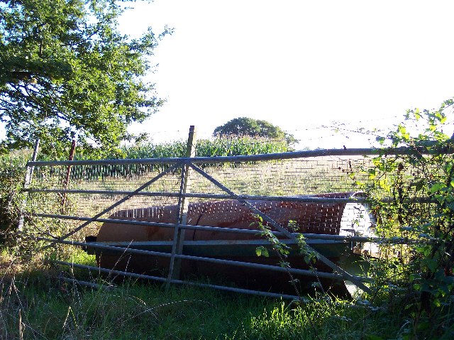
Coldharbour Wood is managed by the local authorities, who ensure the preservation of its natural beauty and protection of its wildlife. As a result, it remains an idyllic and unspoiled woodland, providing a peaceful retreat for nature lovers and a valuable habitat for the region's biodiversity.

If you have any feedback on the listing, please let us know in the comments section below.

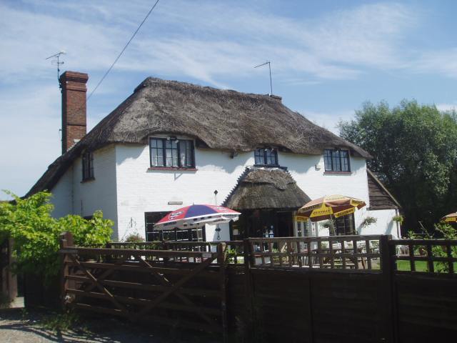
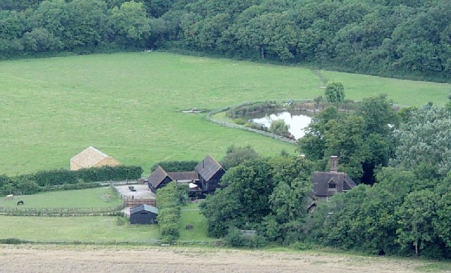
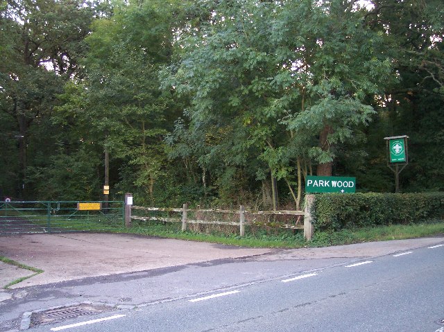
Coldharbour Wood Images

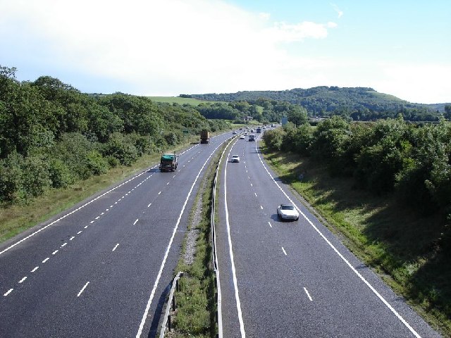
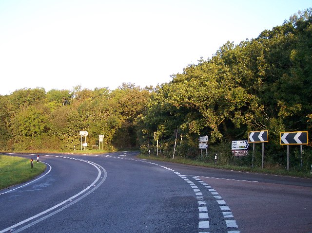
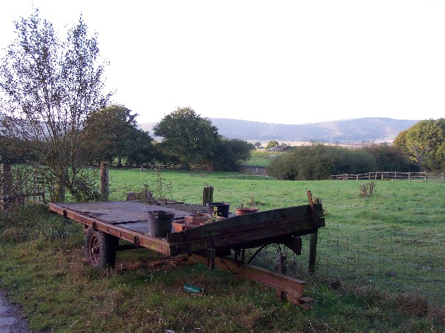
Images are sourced within 2km of 50.919057/-0.21110827 or Grid Reference TQ2514. Thanks to Geograph Open Source API. All images are credited.

Field boundary west of Wick Farm
St John's Church Church near the village of Poynings.
St John's Church
Church near the village of Poynings.
Shaves Thatch Inn On the junction of B2117 and A281 is this Inn serving real ale and good food.
Shaves Thatch Inn
On the junction of B2117 and A281 is this Inn serving real ale and good food.
Rushfields Garden Centre On the Henfield Road at Poynings
Rushfields Garden Centre
On the Henfield Road at Poynings
Foxhole Cottages Looking NW
Foxhole Cottages
Looking NW
Looking south down the A23 This photograph was taken from the bridge carrying the B2117 over the A23.  The South Downs can be seen in the distance.
Looking south down the A23
This photograph was taken from the bridge carrying the B2117 over the A23. The South Downs can be seen in the distance.
Poynings Crossways Notice how the priority has changed to turn the crossroads into a double junction. Frighteningly dangerous!
Poynings Crossways
Notice how the priority has changed to turn the crossroads into a double junction. Frighteningly dangerous!
Trailer near the track to Brookfields Farm Looking south towards the Downs with (I think) Truleigh Hill in the far distance.
Trailer near the track to Brookfields Farm
Looking south towards the Downs with (I think) Truleigh Hill in the far distance.
Entrance to Scout Camp at Park Wood at the northern end of the wood near Park Cottages.
Entrance to Scout Camp at Park Wood
at the northern end of the wood near Park Cottages.
Shaves Wood at Dawn Taken from opposite East Wood Farm. Looking East almost directly towards the sun (behind the tree trunk) just catching the fleeing wildlife.
Shaves Wood at Dawn
Taken from opposite East Wood Farm. Looking East almost directly towards the sun (behind the tree trunk) just catching the fleeing wildlife.
Keep Out Determined to keep trespassers out - a well blocked gateway to protect the maize crop.
Keep Out
Determined to keep trespassers out - a well blocked gateway to protect the maize crop.
Trailers and old tarmac Opposite Holmbush Farm. Old road tarmac useful for patching farm lanes.
Trailers and old tarmac
Opposite Holmbush Farm. Old road tarmac useful for patching farm lanes.
Sheep and Pylons Viewed from near Holmbush Farm looking north west.
Sheep and Pylons
Viewed from near Holmbush Farm looking north west.
Softtech Global, London Road, Albourne Much change of usage is in evidence here. The road in the foreground up to 1990 was the A23(T) which has now been superseded by the dual carriageway which runs to the west. The building in the background was originally an inn. Built in 1938 by A.B.Peckham to cater for the growing motoring trade. Taken from the junction with the B2116 looking west.
Softtech Global, London Road, Albourne
Much change of usage is in evidence here. The road in the foreground up to 1990 was the A23(T) which has now been superseded by the dual carriageway which runs to the west. The building in the background was originally an inn. Built in 1938 by A.B.Peckham to cater for the growing motoring trade. Taken from the junction with the B2116 looking west.
Resting place, Church Lane, Albourne A fine place to sit and have your lunch on a pleasant November afternoon. Looking north as the lane crosses Cutlers Brook before turning sharply right. My mode of transport is parked behind it.
Resting place, Church Lane, Albourne
A fine place to sit and have your lunch on a pleasant November afternoon. Looking north as the lane crosses Cutlers Brook before turning sharply right. My mode of transport is parked behind it.
Bishops Place, near Albourne Looking west down the driveway towards Bishops Place which is to the right of the picture. Spring Hills Golf Course can just be made out to the very left.
Bishops Place, near Albourne
Looking west down the driveway towards Bishops Place which is to the right of the picture. Spring Hills Golf Course can just be made out to the very left.
Muddleswood crossways Looking north across the B2117 up the former A23(T). The road south is now disused except as a cycle track and access point for two cottages. The nearest building is the former tollgate collection point for this stretch of the former London-Brighton turnpike.
Muddleswood crossways
Looking north across the B2117 up the former A23(T). The road south is now disused except as a cycle track and access point for two cottages. The nearest building is the former tollgate collection point for this stretch of the former London-Brighton turnpike.
Randolph's Farm Looking south with the imposing presence of Wolstonbury Hill in the background.
Randolph's Farm
Looking south with the imposing presence of Wolstonbury Hill in the background.
Show me another place!

Coldharbour Wood is located at Grid Ref: TQ2514 (Lat: 50.919057, Lng: -0.21110827)

Administrative County: West Sussex

District: Mid Sussex

Police Authority: Sussex

What 3 Words

///attitudes.trophy.user. Near Hurstpierpoint, West Sussex

Related Wikis

Newtimber Place

Newtimber Place is a Grade I listed building in the Mid Sussex district of West Sussex, England. The house sits on a D-shaped island in a moat. The oldest...

Newtimber

Newtimber is a small village and civil parish in the Mid Sussex District of West Sussex, England. It is located north-west of Brighton. The parish also...

Albourne

Albourne is a village and civil parish in the Mid Sussex district of West Sussex, England. It lies just off the A23 road three miles (4.8 km) east of Henfield...

Blackstone, West Sussex

Blackstone is a hamlet in the civil parish of Woodmancote and the Horsham district of West Sussex, England. Blackstone is significant for its listed...

Woodmancote, Horsham District

Woodmancote is a village and civil parish in the Horsham District of West Sussex, England. The village is 1 mile (1.5 km) southeast of Henfield on the...

Mansion House, Hurstpierpoint

Mansion House is a prominent and historically significant Grade II* listed Georgian village property in Hurstpierpoint, West Sussex, England. The substantial...

Hurstpierpoint

Hurstpierpoint is a village in West Sussex, England, 4 miles (6.4 km) southwest of Burgess Hill, and 1.5 miles (2.4 km) west of Hassocks railway station...
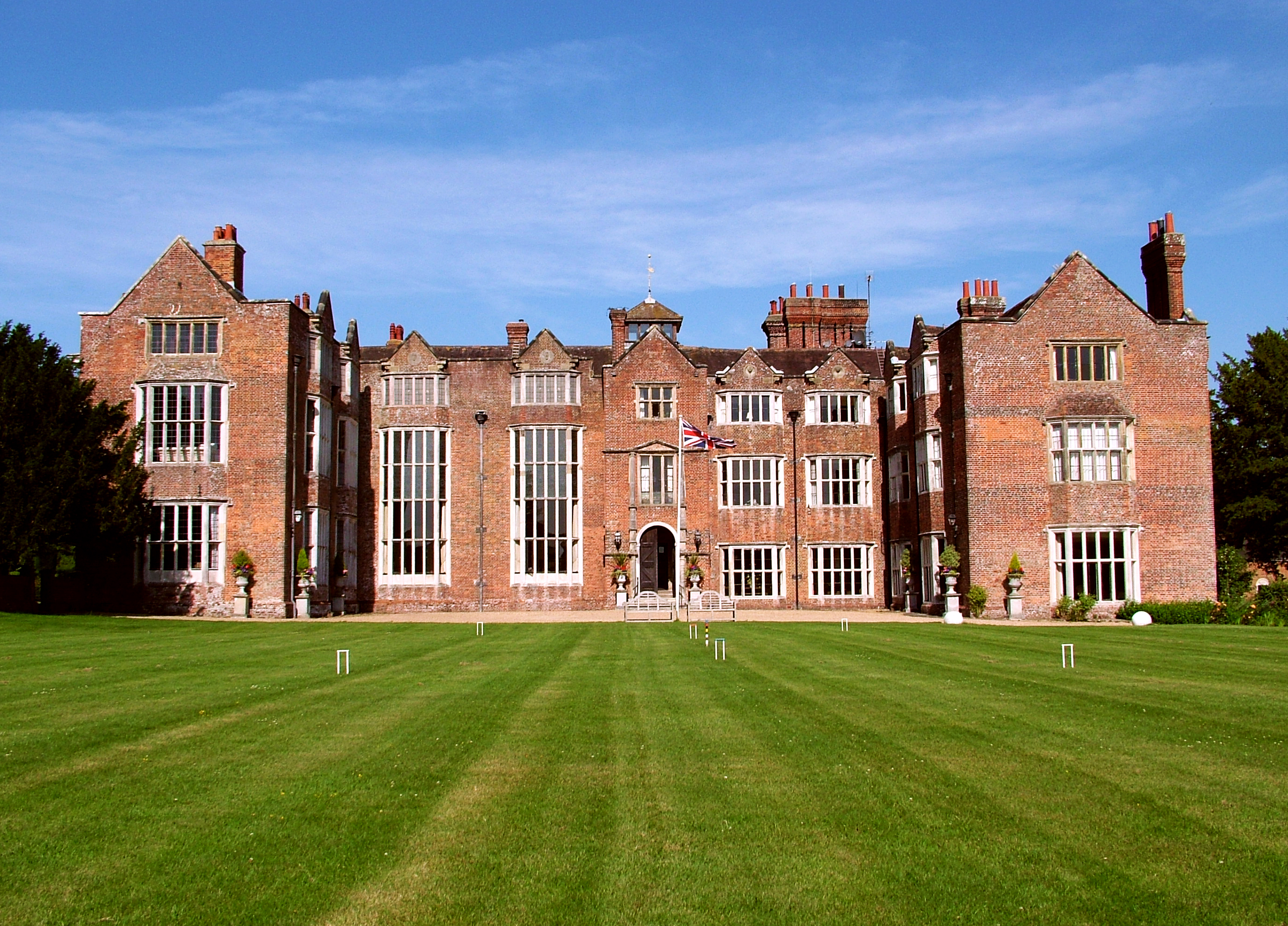
Danny House

Danny House is a Grade I listed Elizabethan red brick mansion near Hurstpierpoint in West Sussex, England. It lies at the northern foot of Wolstonbury...

Nearby Amenities

Located within 500m of 50.919057,-0.21110827
Bus Stop
Pondtail Wood
Naptan AtcoCode: 4400MS0321
Naptan Bearing: SW
Naptan BusStopType: CUS
Naptan CommonName: Pondtail Wood
Naptan Indicator: adj
Naptan Landmark: Hail & Ride
Naptan NaptanCode: wsxgdgta
Naptan Street: Brighton Road
Naptan Verified: no
Source: naptan_import
Lat/Long: 50.915851/-0.2091837
Bus Stop
Pondtail Wood
Naptan AtcoCode: 4400MS0322
Naptan Bearing: NE
Naptan BusStopType: CUS
Naptan CommonName: Pondtail Wood
Naptan Indicator: opp
Naptan Landmark: Hail & Ride
Naptan NaptanCode: wsxgdgtd
Naptan Street: Brighton Road
Naptan Verified: no
Source: naptan_import
Lat/Long: 50.9159345/-0.2093512
The data included in this document is from www.openstreetmap.org. The data is made available under ODbL.

Have you been to Coldharbour Wood?

Leave your review of Coldharbour Wood below (or comments, questions and feedback).