Broad Moor Spinney
Wood, Forest in Cambridgeshire South Cambridgeshire
England
Broad Moor Spinney
Broad Moor Spinney is a picturesque woodland located in Cambridgeshire, England. Covering an area of approximately 5 acres, it is known for its beautiful natural scenery and diverse range of flora and fauna.
The spinney is predominantly made up of broadleaf trees, such as oak, ash, and beech, which provide a dense canopy and create a shady and tranquil atmosphere. The woodland floor is adorned with a rich carpet of wildflowers during the spring and summer months, including bluebells, primroses, and orchids, adding bursts of color to the surroundings.
The spinney is home to a variety of wildlife species, making it a popular spot for nature enthusiasts and birdwatchers. Visitors may spot native birds such as woodpeckers, nuthatches, and thrushes, as well as the occasional glimpse of a deer or fox. The dense vegetation and diverse habitats within the spinney also support a wide range of insects, butterflies, and small mammals.
The wood is crisscrossed with several well-maintained footpaths, allowing visitors to explore its beauty at their own pace. These paths wind through the trees and provide opportunities for peaceful walks and moments of solitude. Additionally, benches are strategically placed throughout the spinney, offering visitors a place to rest and enjoy the tranquility of the surroundings.
Broad Moor Spinney is a cherished natural gem in Cambridgeshire, providing a haven for both wildlife and humans alike. Its serene atmosphere, diverse ecosystem, and stunning visuals make it a must-visit destination for nature lovers and those seeking a peaceful escape from the busyness of everyday life.
If you have any feedback on the listing, please let us know in the comments section below.
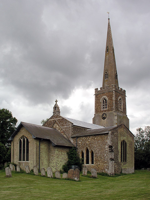
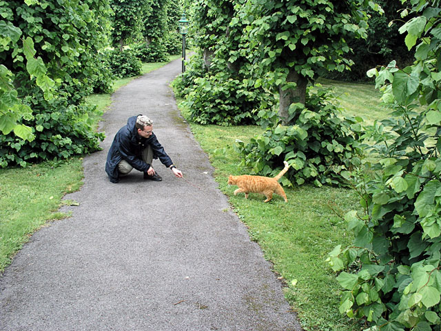
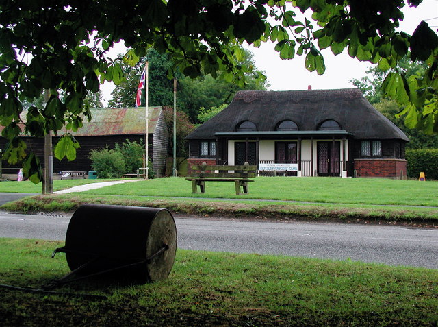
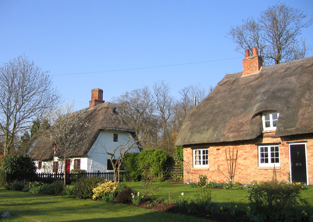
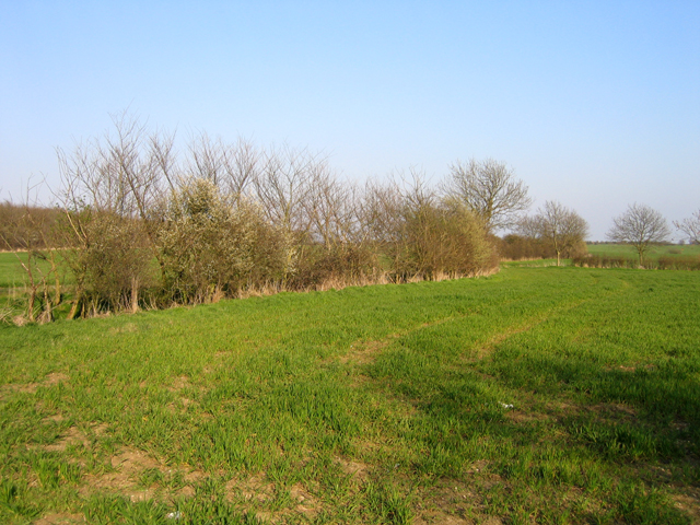
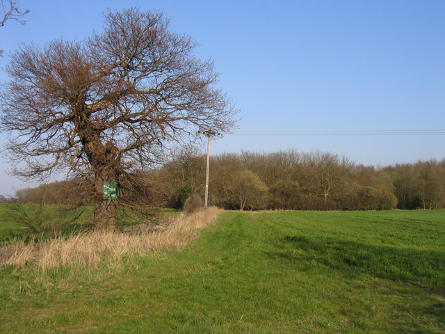
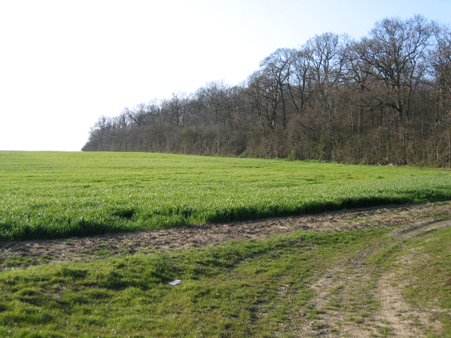
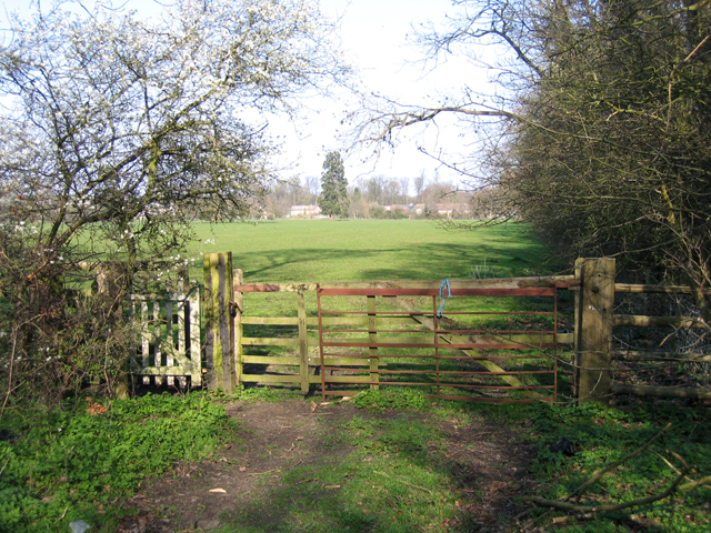
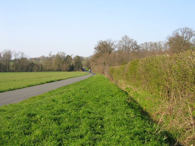
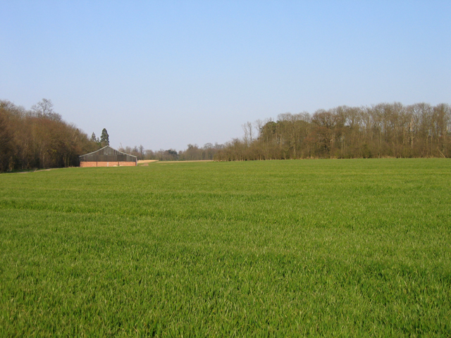
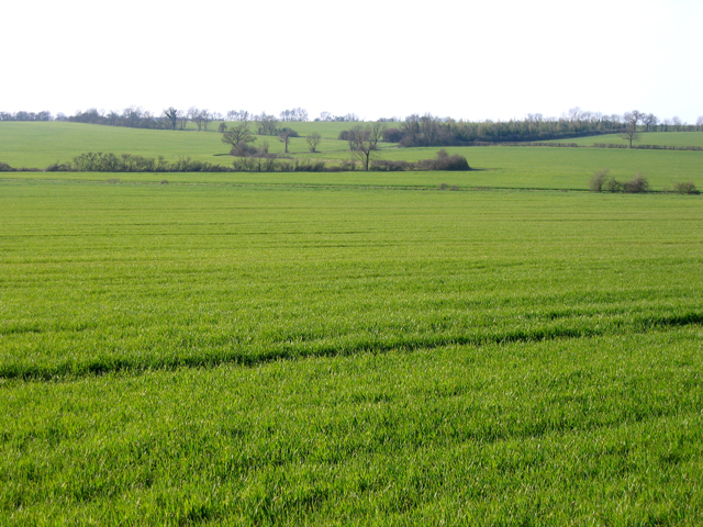
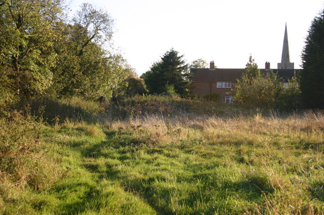
Broad Moor Spinney Images
Images are sourced within 2km of 52.22205/-0.15924328 or Grid Reference TL2559. Thanks to Geograph Open Source API. All images are credited.


Broad Moor Spinney is located at Grid Ref: TL2559 (Lat: 52.22205, Lng: -0.15924328)
Administrative County: Cambridgeshire
District: South Cambridgeshire
Police Authority: Cambridgeshire
What 3 Words
///nozzles.quote.whizzed. Near Great Gransden, Cambridgeshire
Nearby Locations
Related Wikis

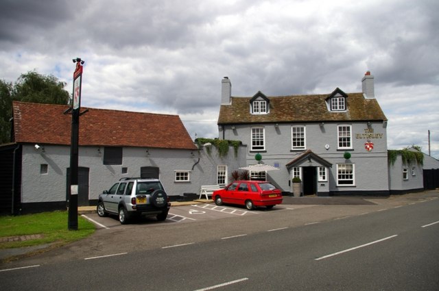
Eltisley
Eltisley is a village and civil parish in South Cambridgeshire, England, on the A428 road about 5.5 miles (8.9 km) east of St Neots and about 11 miles...

Croxton, Cambridgeshire
Croxton is a village and civil parish about 13 miles (21 km) west of Cambridge in South Cambridgeshire, England. In 2001, the resident population was 163...
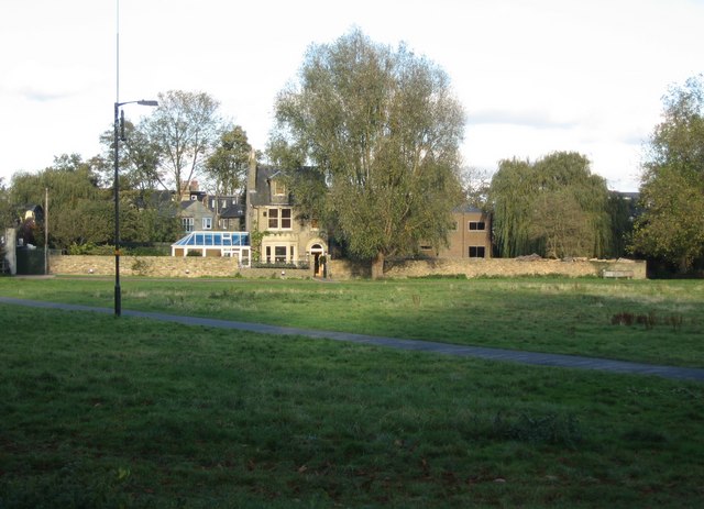
Midsummer House
Midsummer House is a restaurant located in Cambridge, Cambridgeshire, England, on the bank of the river Cam. It is a Victorian style house that was transformed...
Yelling, Cambridgeshire
Yelling is a linear village and civil parish in the Huntingdonshire administrative district of Cambridgeshire, England. The village is about 5 miles (8...
Toseland, Cambridgeshire
Toseland is a village and civil parish in Cambridgeshire, England. The name Toseland is Scandinavian and has connections to the Old Norse word 'lunde'...

Caxton Gibbet
Caxton Gibbet is a small knoll on Ermine Street (now the A1198) in England, running between London and Huntingdon, near its crossing with the road (now...

Great Gransden
Great Gransden is a civil parish and village in the Huntingdonshire district of Cambridgeshire, England. In 2001, the parish population was 969, which...

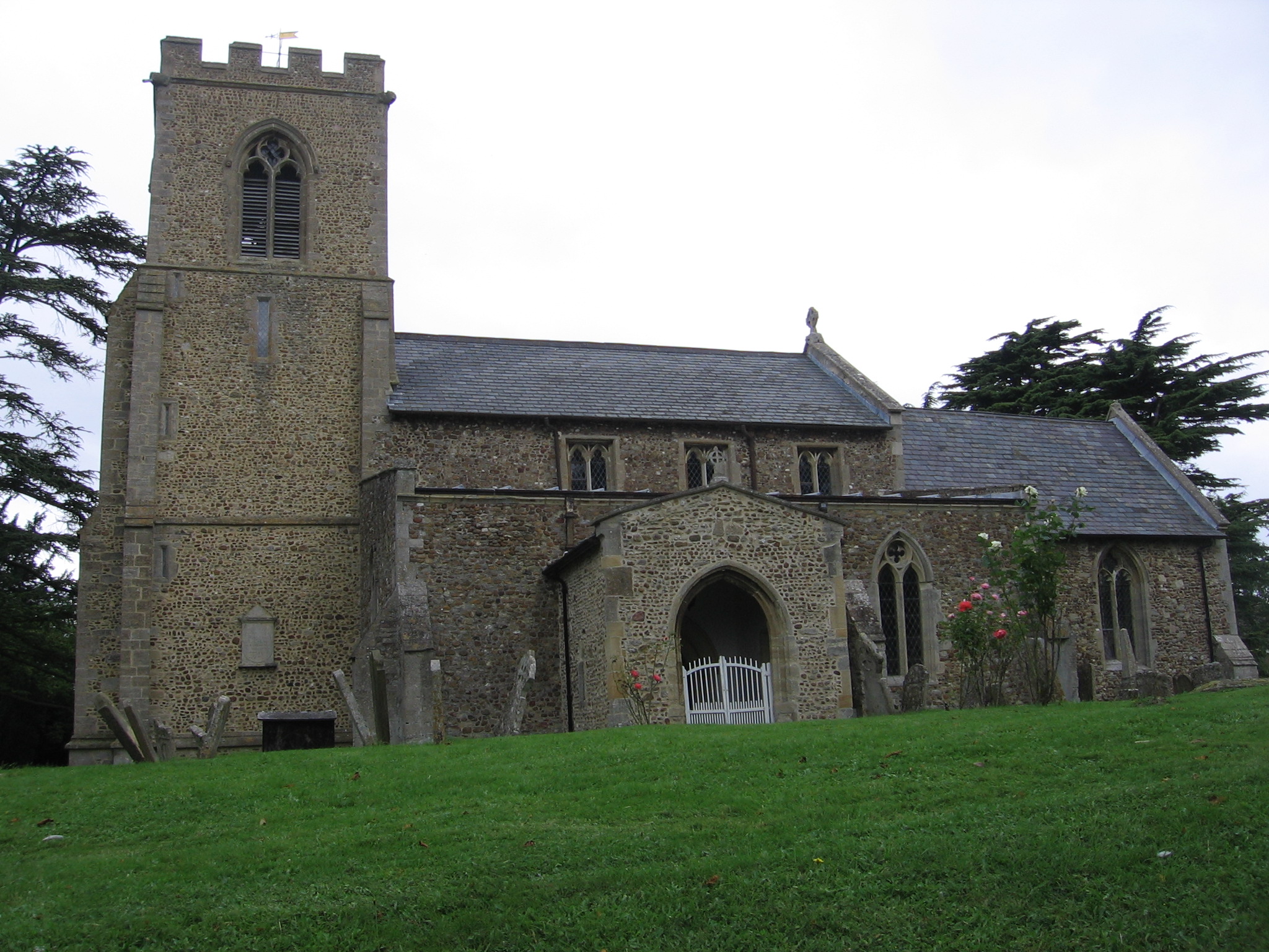
St Margaret's Church, Abbotsley
St Margaret's Church is a historic Anglican church in the village of Abbotsley, Cambridgeshire, England. It is recorded in the National Heritage List...
Nearby Amenities
Located within 500m of 52.22205,-0.15924328Have you been to Broad Moor Spinney?
Leave your review of Broad Moor Spinney below (or comments, questions and feedback).