Ab Kettleby

Civil Parish in Leicestershire Melton

England

Ab Kettleby

Cottages at Wartnaby Date from the 1930s.
Cottages at Wartnaby Credit: Jonathan Thacker

Ab Kettleby is a civil parish located in the county of Leicestershire, in the East Midlands region of England. It is situated approximately 10 miles east of Melton Mowbray, the nearest town, and covers an area of around 1.5 square miles.

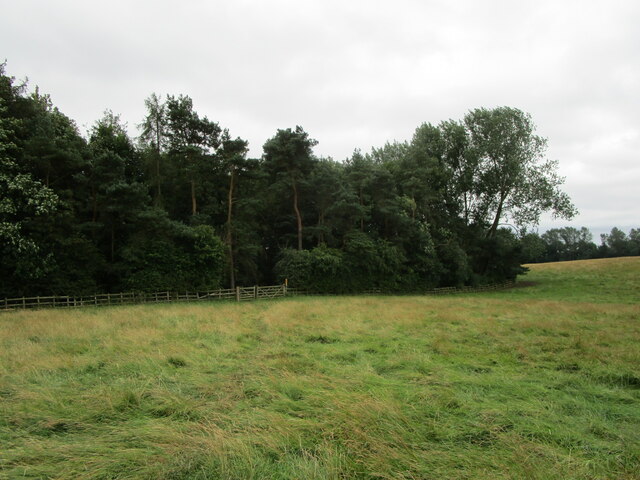
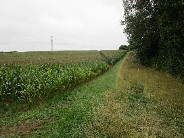
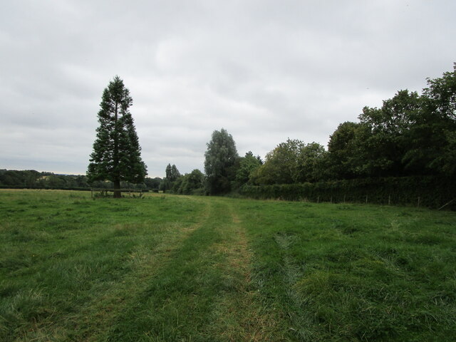
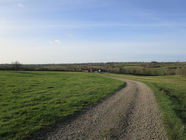
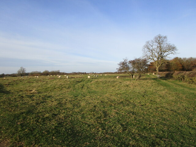
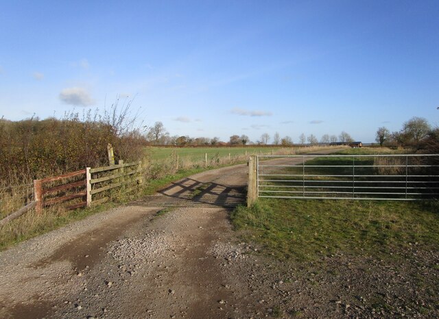
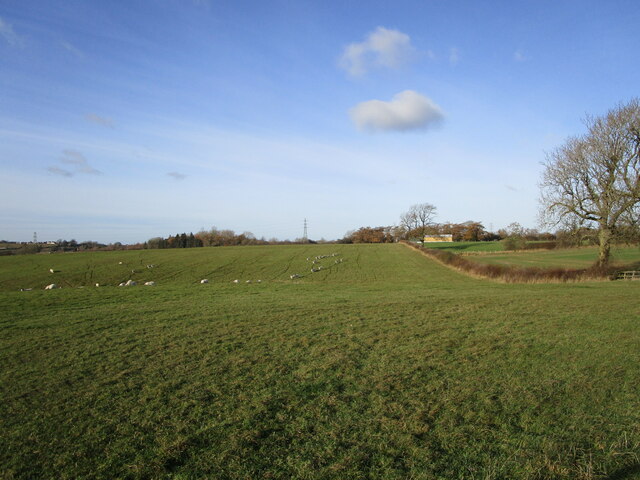
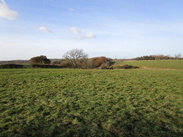
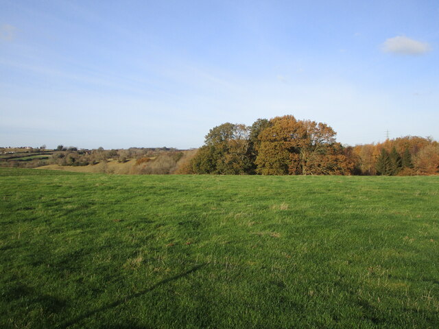
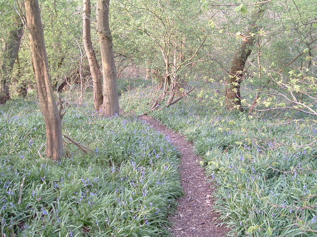
The village of Ab Kettleby is known for its picturesque countryside and charming rural setting. It is surrounded by rolling hills and farmland, providing a tranquil environment for its residents. The population of the civil parish is relatively small, with around 600 inhabitants.

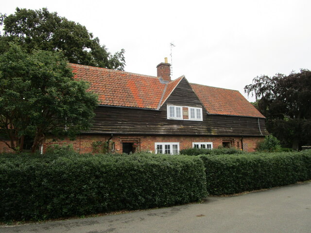
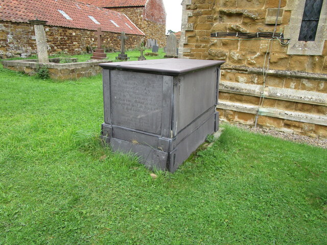
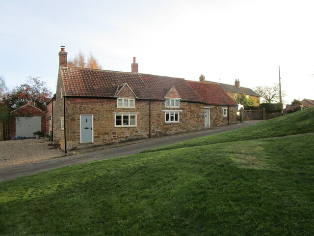
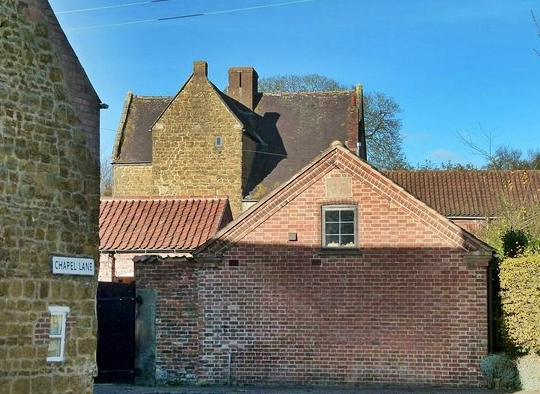
The village is home to a number of historic buildings, including the St. James Church, which dates back to the 13th century. This beautiful church is a significant landmark in the area and attracts visitors interested in its architectural and historical importance.

Ab Kettleby has a strong sense of community, with various local amenities and organizations that bring its residents together. These include a primary school, a village hall, a pub, and a cricket club. The village also hosts annual events and activities, such as the Ab Kettleby Scarecrow Festival, which showcases creative scarecrow displays made by locals.

The location of Ab Kettleby offers easy access to surrounding towns and cities, including Melton Mowbray, Nottingham, and Leicester. This makes it a desirable place to live for those seeking a peaceful countryside lifestyle while still being within commuting distance of larger urban areas.

Overall, Ab Kettleby is a charming and idyllic civil parish that offers a close-knit community, beautiful scenery, and a rich history.

If you have any feedback on the listing, please let us know in the comments section below.
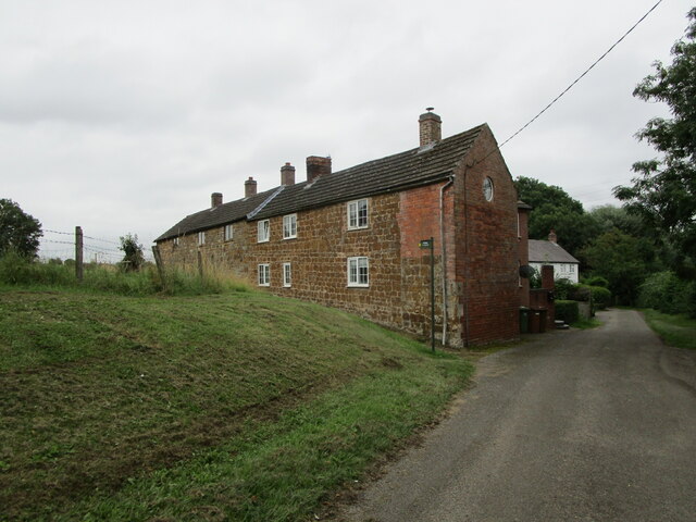
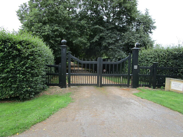
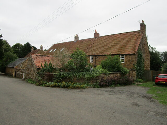
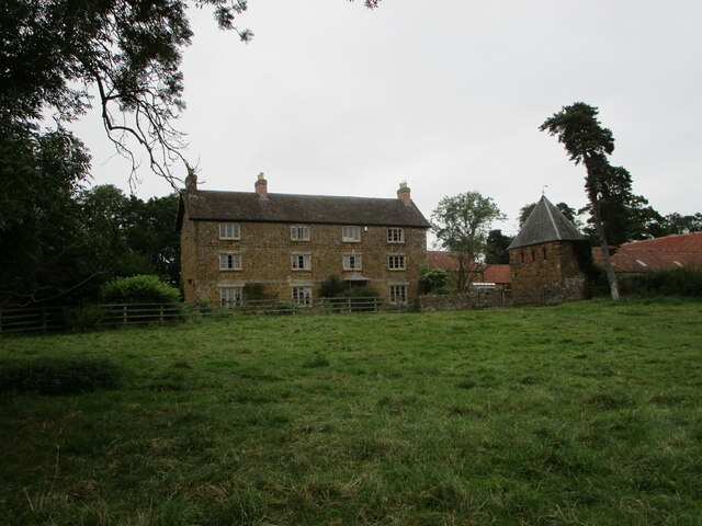
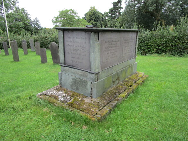
Ab Kettleby Images

Images are sourced within 2km of 52.803485/-0.923236 or Grid Reference SK7223. Thanks to Geograph Open Source API. All images are credited.

Cottages at Wartnaby Date from the 1930s.
Cottages at Wartnaby
Date from the 1930s.
Cottages, Spring Lane, Wartnaby
Bridleway approaching woodland near Wartnaby The bridleway seemed little used, the grass being long and wet.
Bridleway approaching woodland near Wartnaby
The bridleway seemed little used, the grass being long and wet.
Footpath to Old Dalby Cuts through a field of maize.
Footpath to Old Dalby
Cuts through a field of maize.
Wartnaby House, tradesmen's entrance
Cottages at Wartnaby
Church Farmhouse, Wartnaby Dated from about 1800 <span class="nowrap"><a title="https://historicengland.org.uk/listing/the-list/list-entry/1178265" rel="nofollow ugc noopener" href="https://historicengland.org.uk/listing/the-list/list-entry/1178265">Link</a><img style="margin-left:2px;" alt="External link" title="External link - shift click to open in new window" src="https://s1.geograph.org.uk/img/external.png" width="10" height="10"/></span> The dovecote on the right is broadly contemporary <span class="nowrap"><a title="https://historicengland.org.uk/listing/the-list/list-entry/1178267" rel="nofollow ugc noopener" href="https://historicengland.org.uk/listing/the-list/list-entry/1178267">Link</a><img style="margin-left:2px;" alt="External link" title="External link - shift click to open in new window" src="https://s1.geograph.org.uk/img/external.png" width="10" height="10"/></span>
Church Farmhouse, Wartnaby
Dated from about 1800 LinkExternal link The dovecote on the right is broadly contemporary LinkExternal link
Chest tomb at Wartnaby Dated 1737 <span class="nowrap"><a title="https://historicengland.org.uk/listing/the-list/list-entry/1360845" rel="nofollow ugc noopener" href="https://historicengland.org.uk/listing/the-list/list-entry/1360845">Link</a><img style="margin-left:2px;" alt="External link" title="External link - shift click to open in new window" src="https://s1.geograph.org.uk/img/external.png" width="10" height="10"/></span>
Chest tomb at Wartnaby
Dated 1737 LinkExternal link
Chest tomb at Wartnaby Dated 1799 <span class="nowrap"><a title="https://historicengland.org.uk/listing/the-list/list-entry/1178259" rel="nofollow ugc noopener" href="https://historicengland.org.uk/listing/the-list/list-entry/1178259">Link</a><img style="margin-left:2px;" alt="External link" title="External link - shift click to open in new window" src="https://s1.geograph.org.uk/img/external.png" width="10" height="10"/></span>
Chest tomb at Wartnaby
Dated 1799 LinkExternal link
Bridleway to Saxelbye
Bridleway to Saxelbye Passing though a patch of woodland near Wartnaby.
Bridleway to Saxelbye
Passing though a patch of woodland near Wartnaby.
Roadway and footpath to a farm near Holwell
Grassland with sheep near Holwell
Yew Tree Farm Cottages, Holwell Modernised seventeenth century cottages <span class="nowrap"><a title="https://historicengland.org.uk/listing/the-list/list-entry/1360844" rel="nofollow ugc noopener" href="https://historicengland.org.uk/listing/the-list/list-entry/1360844">Link</a><img style="margin-left:2px;" alt="External link" title="External link - shift click to open in new window" src="https://s1.geograph.org.uk/img/external.png" width="10" height="10"/></span>
Yew Tree Farm Cottages, Holwell
Modernised seventeenth century cottages LinkExternal link
Cattle grid near Linden Lodge
Grass field near Old Hills Wood
Grass field and Old Hills Wood
Show me another place!

Ab Kettleby is located at Grid Ref: SK7223 (Lat: 52.803485, Lng: -0.923236)

Administrative County: Leicestershire

District: Melton

Police Authority: Leicestershire

What 3 Words

///guidebook.grant.shades. Near Long Clawson, Leicestershire

Related Wikis

Ab Kettleby

Ab Kettleby is a village and civil parish in the Melton district of Leicestershire, England, located 3 miles (4.8 km) north of Melton Mowbray, on the A606...

Ab Kettleby Manor

Ab Kettleby Manor is an early 17th-century house in the village of Ab Kettleby, Leicestershire. Built of ironstone with a central brick chimney the house...

St James' Church, Ab Kettleby

St James’ Church, Ab Kettleby is a Grade II* listed parish church in the Church of England in Ab Kettleby, Leicestershire. == History == The church dates...

Holwell Mouth

Holwell Mouth is a 14.5-hectare (36-acre) biological Site of Special Scientific Interest south-east of Nether Broughton in Leicestershire. It is common...

Holwell Reserves

Holwell Reserves is a 16.4 hectares (41 acres) nature reserve north of Melton Mowbray in Leicestershire. It is owned and managed by the Leicestershire...

Melton Rural District

Melton was a rural district in Leicestershire, England from 1894 to 1935. It was created in 1894 under the Local Government Act 1894 as a successor to...

Scalford railway station

Scalford railway station was a railway station serving the village of Scalford, Leicestershire on the Great Northern and London and North Western Joint...

Asfordby Colliery

Asfordby Colliery (also known as Asfordby super-pit and Asfordby Mine) was a coal mine located in the village of Asfordby, near to Melton Mowbray in Leicestershire...

Nearby Amenities

Located within 500m of 52.803485,-0.923236
Bus Stop
Sugar Loaf PH
Alt Name: Ab Kettleby - Main A606
Bus: yes
Naptan AltCommonName: Ab Kettleby - Main A606
Naptan AtcoCode: 260001600
Naptan Bearing: S
Naptan CommonName: Sugar Loaf PH
Naptan Indicator: outside
Naptan Landmark: Sugar Loaf PH
Naptan NaptanCode: leidpdaw
Naptan Notes: Hourly - County
Naptan Street: Nottingham Road
Public Transport: platform
Source: naptan_import
Lat/Long: 52.8013991/-0.9244542
Bus Stop
Sugar Loaf PH
Alt Name: Ab Kettleby - Main Road A606
Bus: yes
Naptan AltCommonName: Ab Kettleby - Main Road A606
Naptan AtcoCode: 260001603
Naptan Bearing: N
Naptan CommonName: Sugar Loaf PH
Naptan Indicator: opposite
Naptan Landmark: Sugar Loaf PH
Naptan NaptanCode: leidpdgj
Naptan Notes: Hourly - County
Naptan Street: Nottingham Road
Naptan Verified: no
Public Transport: platform
Source: naptan_import
Lat/Long: 52.8009247/-0.9246884
Pub
The Sugar Loaf
Addr City: Melton Mowbray
Addr Country: GB
Addr Housenumber: 2
Addr Postcode: LE14 3JB
Addr Street: Nottingham Road
Addr Village: Ab Kettleby
Fhrs Id: 730982
Fhrs Local Authority Id: 15/00009/COMM
Source: survey
Lat/Long: 52.8011296/-0.924373
Fixme: continues
Lat/Long: 52.7997083/-0.9230772
Power: pole
Lat/Long: 52.8013312/-0.9215694
Power: pole
Lat/Long: 52.8010879/-0.9227871
Barrier: stile
Material: wood
Source: survey
Step Count: 1
Stile: stepover
Lat/Long: 52.8012891/-0.9272591
Barrier: stile
Material: wood
Source: survey
Step Count: 1
Stile: stepover
Lat/Long: 52.8015225/-0.9280848
Barrier: stile
Material: wood
Source: survey
Step Count: 1
Stile: stepover
Lat/Long: 52.8006396/-0.9267582
Fixme: continue
Lat/Long: 52.8034193/-0.9177801
Post Box
Brand: Royal Mail
Brand Wikidata: Q638098
Brand Wikipedia: en:Royal Mail
Collection Times: Mo-Fr 09:00; Sa 07:00
Operator: Royal Mail
Operator Wikidata: Q638098
Post Box Type: lamp
Ref: LE14 121D
Royal Cypher: EIIR
Royal Cypher Wikidata: Q33102113
Source: survey
Lat/Long: 52.7999118/-0.9242095
Power: pole
Lat/Long: 52.8021387/-0.9213443
Power: pole
Lat/Long: 52.8029527/-0.9211137
Power: pole
Lat/Long: 52.8054466/-0.92003
Power: pole
Lat/Long: 52.8062638/-0.9196706
Power: pole
Lat/Long: 52.8066595/-0.9195097
Power: pole
Lat/Long: 52.8046099/-0.9203895
Power: pole
Lat/Long: 52.8038381/-0.9207328
Power: pole
Source: Bing
Lat/Long: 52.8071452/-0.919332
Give Way
Direction: forward
Source: Bing
Lat/Long: 52.8008416/-0.9245673
Fixme: continue
Lat/Long: 52.8015825/-0.9278269
Barrier: stile
Material: wood
Source: survey
Step Count: 1
Stile: stepover
Lat/Long: 52.8015154/-0.9281282
Barrier: entrance
Source: Bing
Lat/Long: 52.8062261/-0.9213995
Power: pole
Source: survey
Lat/Long: 52.8044883/-0.9256116
Power: pole
Source: survey
Lat/Long: 52.8049765/-0.925558
Power: pole
Lat/Long: 52.7994496/-0.9261351
Telephone
Defibrillator
Access: yes
Booth: K6
Covered: booth
Defibrillator Location: inside old red phone box, Wartnaby Road, Ab Kettleby
Emergency: defibrillator
Listed Status: Grade II
Man Made: telephone_box
Old Phone: +44 1664 822271
Source: survey
Lat/Long: 52.8006913/-0.9253198
Generator Method: photovoltaic
Generator Output Electricity: yes
Generator Source: solar
Generator Type: solar_photovoltaic_panel
Location: roof
Power: generator
Lat/Long: 52.8016551/-0.9255051
Ab Kettleby
Place: village
Source: OS Open Names
Wikidata: Q3490381
Wikipedia: en:Ab Kettleby
Lat/Long: 52.8000945/-0.9279984
The data included in this document is from www.openstreetmap.org. The data is made available under ODbL.

Have you been to Ab Kettleby?

Leave your review of Ab Kettleby below (or comments, questions and feedback).