Broughton Hill

Hill, Mountain in Leicestershire Melton

England

Broughton Hill

Cottages at Wartnaby Date from the 1930s.
Cottages at Wartnaby Credit: Jonathan Thacker

Broughton Hill is a prominent natural feature located in the county of Leicestershire, England. Situated near the village of Broughton Astley, it is classified as a hill rather than a mountain due to its moderate elevation. The hill reaches an approximate height of 140 meters (460 feet) above sea level, making it a noticeable landmark in the surrounding flat landscape.

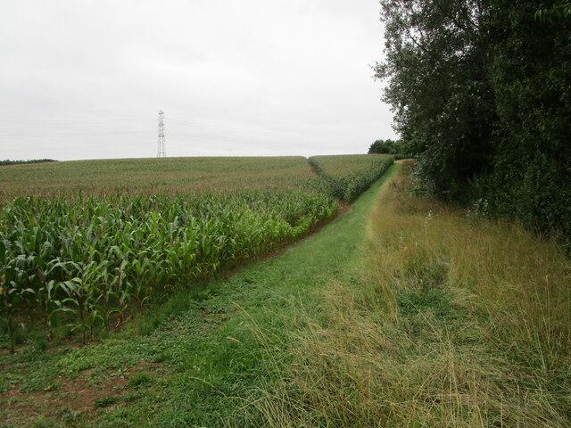
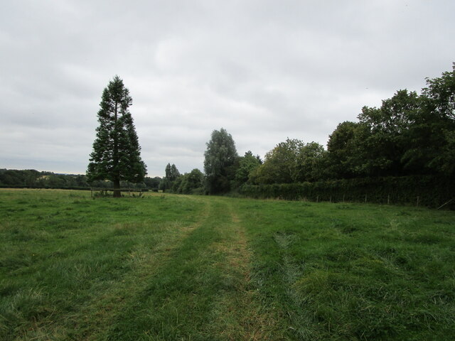
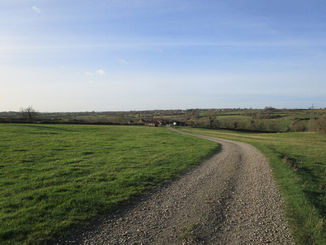
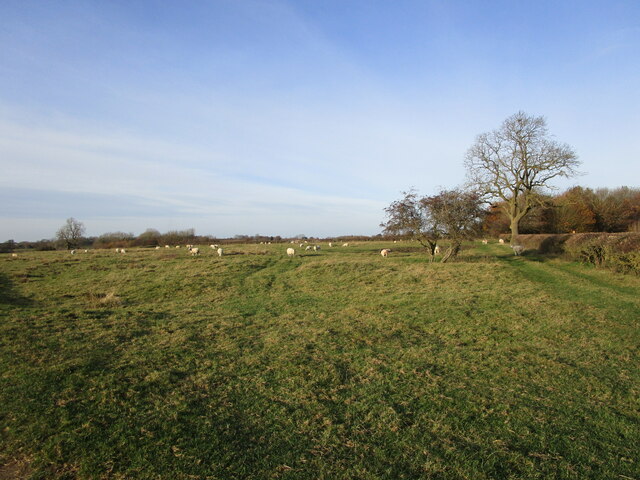
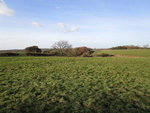
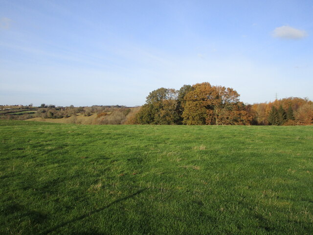
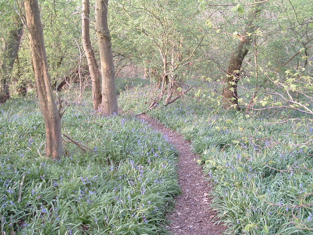
Covered in lush green vegetation, Broughton Hill forms part of the wider rolling countryside characteristic of Leicestershire. Its slopes are primarily composed of fertile agricultural land, with patches of woodland scattered across the hillside. The hill is crisscrossed by a network of footpaths and trails, making it a popular destination for hikers and nature enthusiasts.

At the summit of Broughton Hill, visitors are rewarded with panoramic views of the surrounding area, including the nearby villages, farmland, and distant hills. On a clear day, it is even possible to catch a glimpse of Leicester, the county's largest city, to the east.

Alongside its natural beauty, Broughton Hill also holds historical significance. It is believed that the hill has been inhabited since ancient times, with archaeological evidence suggesting human activity in the area dating back to the Iron Age. Several burial mounds and other ancient structures have been discovered on the hill, giving insight into its past.

Overall, Broughton Hill is a picturesque and historically rich destination that offers visitors the opportunity to immerse themselves in the natural beauty and cultural heritage of Leicestershire.

If you have any feedback on the listing, please let us know in the comments section below.

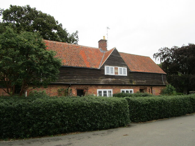
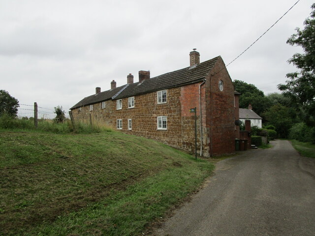
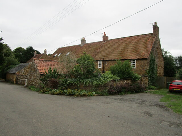
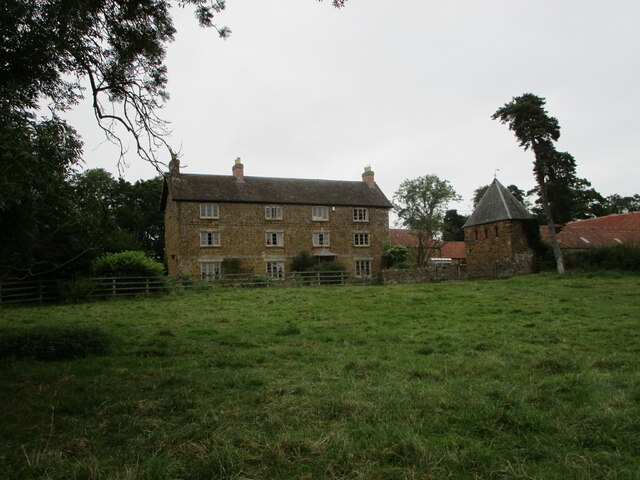
Broughton Hill Images

Images are sourced within 2km of 52.807162/-0.92541291 or Grid Reference SK7223. Thanks to Geograph Open Source API. All images are credited.

Cottages at Wartnaby Date from the 1930s.
Cottages at Wartnaby
Date from the 1930s.
Cottages, Spring Lane, Wartnaby
Footpath to Old Dalby Cuts through a field of maize.
Footpath to Old Dalby
Cuts through a field of maize.
Wartnaby House, tradesmen's entrance
Cottages at Wartnaby
Church Farmhouse, Wartnaby Dated from about 1800 <span class="nowrap"><a title="https://historicengland.org.uk/listing/the-list/list-entry/1178265" rel="nofollow ugc noopener" href="https://historicengland.org.uk/listing/the-list/list-entry/1178265">Link</a><img style="margin-left:2px;" alt="External link" title="External link - shift click to open in new window" src="https://s1.geograph.org.uk/img/external.png" width="10" height="10"/></span> The dovecote on the right is broadly contemporary <span class="nowrap"><a title="https://historicengland.org.uk/listing/the-list/list-entry/1178267" rel="nofollow ugc noopener" href="https://historicengland.org.uk/listing/the-list/list-entry/1178267">Link</a><img style="margin-left:2px;" alt="External link" title="External link - shift click to open in new window" src="https://s1.geograph.org.uk/img/external.png" width="10" height="10"/></span>
Church Farmhouse, Wartnaby
Dated from about 1800 LinkExternal link The dovecote on the right is broadly contemporary LinkExternal link
Chest tomb at Wartnaby Dated 1737 <span class="nowrap"><a title="https://historicengland.org.uk/listing/the-list/list-entry/1360845" rel="nofollow ugc noopener" href="https://historicengland.org.uk/listing/the-list/list-entry/1360845">Link</a><img style="margin-left:2px;" alt="External link" title="External link - shift click to open in new window" src="https://s1.geograph.org.uk/img/external.png" width="10" height="10"/></span>
Chest tomb at Wartnaby
Dated 1737 LinkExternal link
Chest tomb at Wartnaby Dated 1799 <span class="nowrap"><a title="https://historicengland.org.uk/listing/the-list/list-entry/1178259" rel="nofollow ugc noopener" href="https://historicengland.org.uk/listing/the-list/list-entry/1178259">Link</a><img style="margin-left:2px;" alt="External link" title="External link - shift click to open in new window" src="https://s1.geograph.org.uk/img/external.png" width="10" height="10"/></span>
Chest tomb at Wartnaby
Dated 1799 LinkExternal link
Bridleway to Saxelbye
Roadway and footpath to a farm near Holwell
Grassland with sheep near Holwell
Yew Tree Farm Cottages, Holwell Modernised seventeenth century cottages <span class="nowrap"><a title="https://historicengland.org.uk/listing/the-list/list-entry/1360844" rel="nofollow ugc noopener" href="https://historicengland.org.uk/listing/the-list/list-entry/1360844">Link</a><img style="margin-left:2px;" alt="External link" title="External link - shift click to open in new window" src="https://s1.geograph.org.uk/img/external.png" width="10" height="10"/></span>
Yew Tree Farm Cottages, Holwell
Modernised seventeenth century cottages LinkExternal link
Grass field and Old Hills Wood
Whoops! Someone walked across the concrete when it was still wet.
Whoops!
Someone walked across the concrete when it was still wet.
Cattle grid near Old Hills Wood This is both a roadway serving a farm and a public foortpath,
Cattle grid near Old Hills Wood
This is both a roadway serving a farm and a public foortpath,
Grass field and hedgerow with trees
Roadway and public footpath
Show me another place!

Broughton Hill is located at Grid Ref: SK7223 (Lat: 52.807162, Lng: -0.92541291)

Administrative County: Leicestershire

District: Melton

Police Authority: Leicestershire

What 3 Words

///nylon.labels.rebounded. Near Long Clawson, Leicestershire

Related Wikis

Holwell Mouth

Holwell Mouth is a 14.5-hectare (36-acre) biological Site of Special Scientific Interest south-east of Nether Broughton in Leicestershire. It is common...

Ab Kettleby Manor

Ab Kettleby Manor is an early 17th-century house in the village of Ab Kettleby, Leicestershire. Built of ironstone with a central brick chimney the house...

Ab Kettleby

Ab Kettleby is a village and civil parish in the Melton district of Leicestershire, England, located 3 miles (4.8 km) north of Melton Mowbray, on the A606...

St James' Church, Ab Kettleby

St James’ Church, Ab Kettleby is a Grade II* listed parish church in the Church of England in Ab Kettleby, Leicestershire. == History == The church dates...

Holwell Reserves

Holwell Reserves is a 16.4 hectares (41 acres) nature reserve north of Melton Mowbray in Leicestershire. It is owned and managed by the Leicestershire...

Melton Rural District

Melton was a rural district in Leicestershire, England from 1894 to 1935. It was created in 1894 under the Local Government Act 1894 as a successor to...

Scalford railway station

Scalford railway station was a railway station serving the village of Scalford, Leicestershire on the Great Northern and London and North Western Joint...

Long Clawson and Hose railway station

Long Clawson and Hose railway station was a railway station serving the villages of Long Clawson and Hose, Leicestershire on the Great Northern and London...

Nearby Amenities

Located within 500m of 52.807162,-0.92541291
WLM Mowers
Fixme: location approx
Shop: lawnmowers
Lat/Long: 52.8069058/-0.9297664
Give Way
Direction: backward
Source: survey
Lat/Long: 52.8102238/-0.9224729
Power: pole
Lat/Long: 52.8054466/-0.92003
Barrier: entrance
Source: Bing
Lat/Long: 52.8101329/-0.922731
Power: pole
Lat/Long: 52.8062638/-0.9196706
Power: pole
Lat/Long: 52.8066595/-0.9195097
Power: pole
Lat/Long: 52.8046099/-0.9203895
Power: pole
Lat/Long: 52.8038381/-0.9207328
Barrier: entrance
Source: survey
Lat/Long: 52.8102242/-0.9229523
Fixme: continue
Lat/Long: 52.8111475/-0.92325
Power: pole
Source: Bing
Lat/Long: 52.8088483/-0.9185705
Power: pole
Source: Bing
Lat/Long: 52.8079721/-0.9189457
Power: pole
Source: Bing
Lat/Long: 52.8071452/-0.919332
Barrier: entrance
Lat/Long: 52.8084904/-0.9305097
Entrance: yes
Source: survey
Lat/Long: 52.8064568/-0.9299462
Barrier: entrance
Source: survey
Lat/Long: 52.809169/-0.9278175
Barrier: entrance
Source: Bing
Lat/Long: 52.8062261/-0.9213995
Power: pole
Source: survey
Lat/Long: 52.8044883/-0.9256116
Power: pole
Source: survey
Lat/Long: 52.8049765/-0.925558
The data included in this document is from www.openstreetmap.org. The data is made available under ODbL.

Have you been to Broughton Hill?

Leave your review of Broughton Hill below (or comments, questions and feedback).