Ab Kettleby
Settlement in Leicestershire Melton
England
Ab Kettleby
Ab Kettleby is a picturesque village located in the county of Leicestershire, England. Situated in the Melton district, it lies approximately 11 miles northeast of the county town of Leicester. The village is nestled in the heart of the East Midlands, surrounded by rolling countryside and charming rural landscapes.
Ab Kettleby is a small and tight-knit community with a population of around 400 residents. It boasts a rich history, dating back to the medieval period. The village is named after the Kettleby family, who were prominent landowners in the area during the 13th century. The architecture of Ab Kettleby reflects its heritage, with several historic buildings and thatched cottages adorning the streets.
Despite its small size, Ab Kettleby offers a range of amenities to its residents. The village has a well-regarded primary school, providing education for the local children. Additionally, there is a village hall which serves as a hub for community events and gatherings. The village also has a traditional pub, The Sugar Loaf, which offers a warm and welcoming atmosphere for locals and visitors alike.
The surrounding countryside provides ample opportunities for outdoor activities, such as walking, cycling, and horse riding. Ab Kettleby is situated close to the larger market town of Melton Mowbray, which offers a wider range of amenities and services.
Overall, Ab Kettleby is a charming and idyllic village, renowned for its historical significance, beautiful scenery, and strong sense of community.
If you have any feedback on the listing, please let us know in the comments section below.
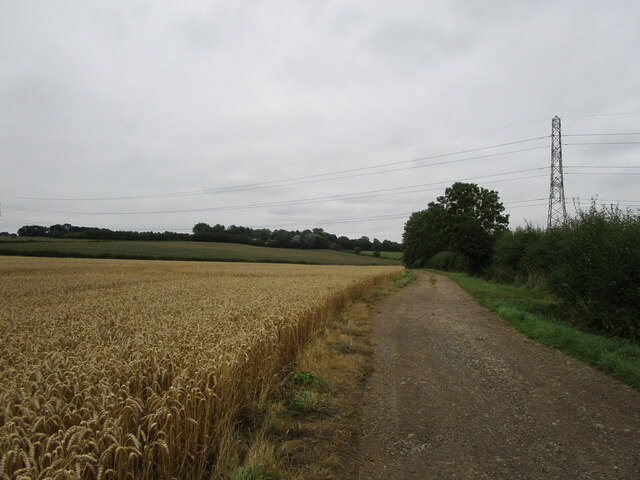
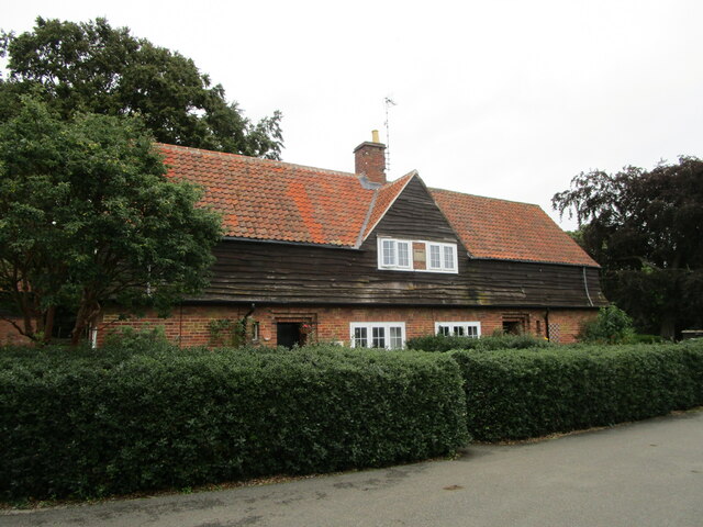
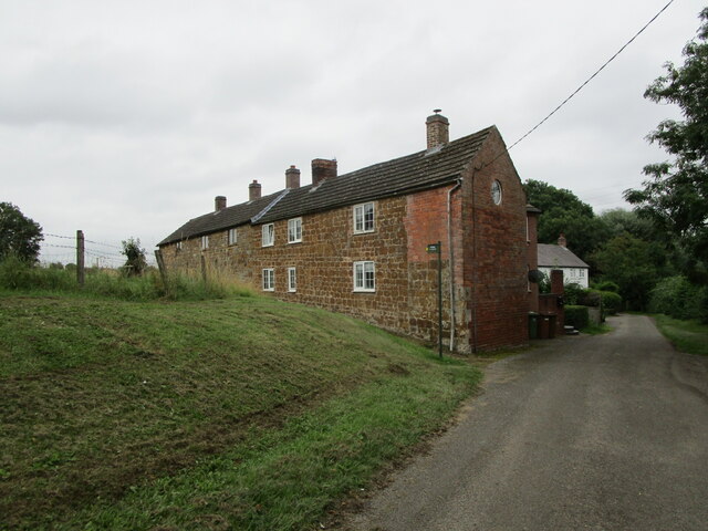
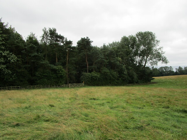
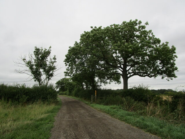
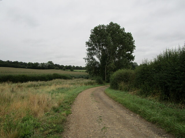
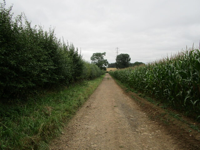
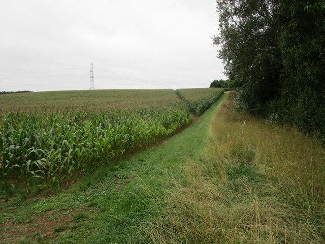
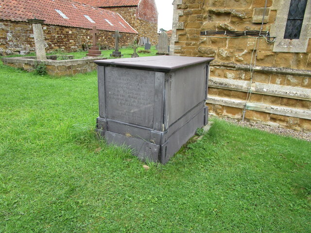
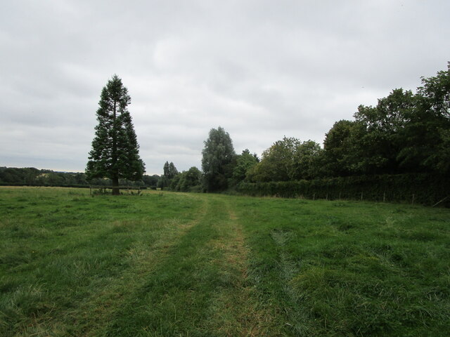
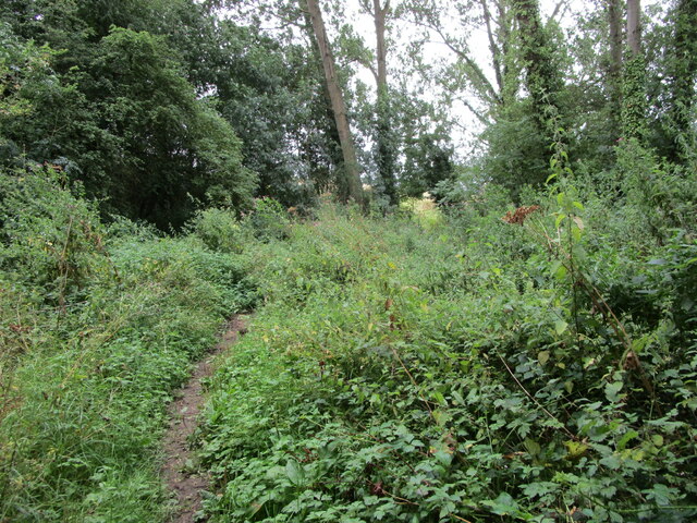
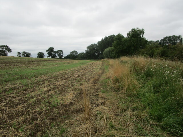
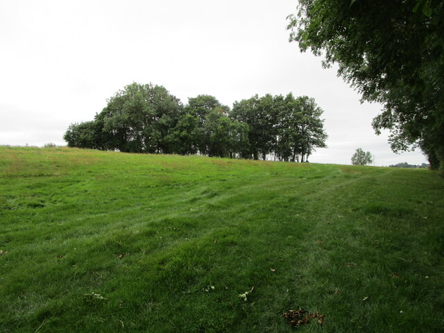
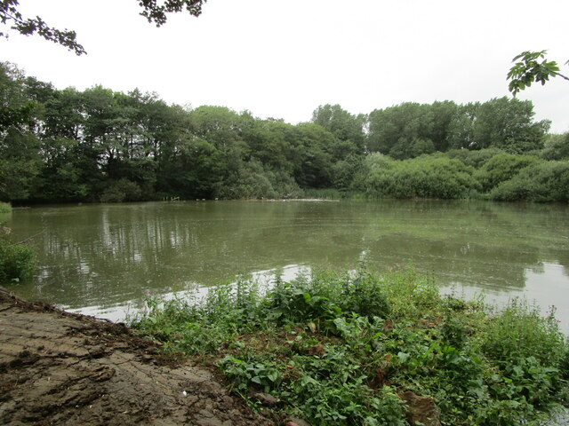
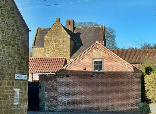
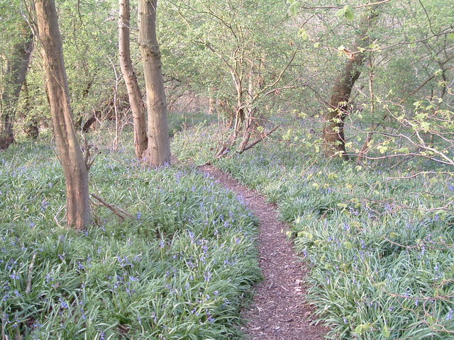
Ab Kettleby Images
Images are sourced within 2km of 52.800049/-0.927993 or Grid Reference SK7223. Thanks to Geograph Open Source API. All images are credited.
Ab Kettleby is located at Grid Ref: SK7223 (Lat: 52.800049, Lng: -0.927993)
Administrative County: Leicestershire
District: Melton
Police Authority: Leicestershire
What 3 Words
///cotton.paddocks.bitter. Near Grimston, Leicestershire
Nearby Locations
Related Wikis
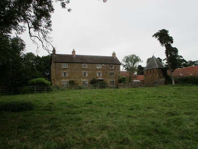
Ab Kettleby Manor
Ab Kettleby Manor is an early 17th-century house in the village of Ab Kettleby, Leicestershire. Built of ironstone with a central brick chimney the house...

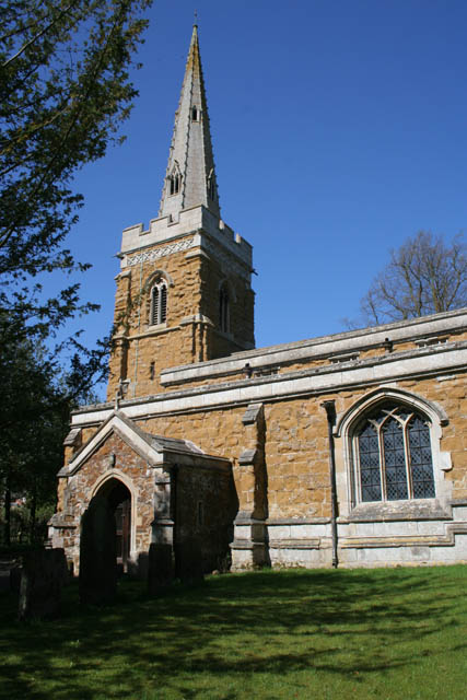
St James' Church, Ab Kettleby
St James’ Church, Ab Kettleby is a Grade II* listed parish church in the Church of England in Ab Kettleby, Leicestershire. == History == The church dates...

Ab Kettleby
Ab Kettleby is a village and civil parish in the Melton district of Leicestershire, England, located 3 miles (4.8 km) north of Melton Mowbray, on the A606...
Holwell Mouth
Holwell Mouth is a 14.5-hectare (36-acre) biological Site of Special Scientific Interest south-east of Nether Broughton in Leicestershire. It is common...

Holwell Reserves
Holwell Reserves is a 16.4 hectares (41 acres) nature reserve north of Melton Mowbray in Leicestershire. It is owned and managed by the Leicestershire...

Melton Rural District
Melton was a rural district in Leicestershire, England from 1894 to 1935. It was created in 1894 under the Local Government Act 1894 as a successor to...
Asfordby Colliery
Asfordby Colliery (also known as Asfordby super-pit and Asfordby Mine) was a coal mine located in the village of Asfordby, near to Melton Mowbray in Leicestershire...
Saxelbye
Saxelbye (or Saxelby) is a small village and former civil parish, now in the parish of Grimston, in the district of Melton in Leicestershire, England....
Related Videos

A-Maize-ing Route
Sorry, not sorry for that title. Still, it's always fun to walk through a field of maize (corn) when it's at its tallest point, on an early ...

Moo Cows, Moo Problems
These were the friendlist and most polite of cows. Sadly, they also were unwilling to move off the footpath. Or indeed was Mrs ...

out for a walk but I'm in the car 🚗🤣 with music 🎶🎶
here are the links to my other accounts please follow like and subscribe and keep the notification bell on if you can, I will post ...

Searching the undergrowth for a lost ancient spring said to have healing powers #exploringfolklaw
Hello! And welcome to another video. In todays video, we go Searching the undergrowth for a lost ancient spring said to have ...
Nearby Amenities
Located within 500m of 52.800049,-0.927993Have you been to Ab Kettleby?
Leave your review of Ab Kettleby below (or comments, questions and feedback).