Ab Lench

Settlement in Worcestershire Wychavon

England

Ab Lench

Entrance to Hayes Farm The milk churns featured in the first geograph are still screwed down!
See - <a href="https://www.geograph.org.uk/photo/40277">SO9950 : Milk churns by a country road</a>.
Entrance to Hayes Farm Credit: Jonathan Billinger

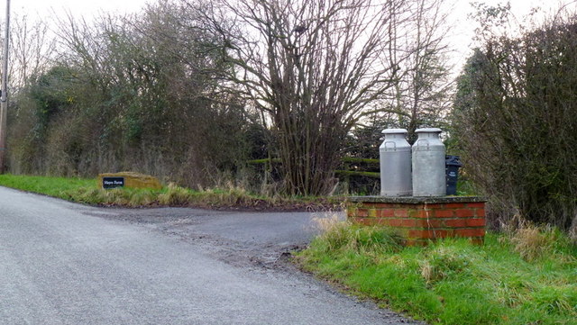
Ab Lench is a small rural village located in the county of Worcestershire, England. Situated within the Vale of Evesham, it is part of the civil parish of Church Lench and lies approximately 10 miles southeast of the city of Worcester. Ab Lench is surrounded by picturesque countryside and offers a tranquil and idyllic setting for its residents.

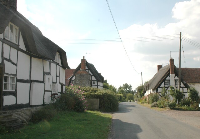
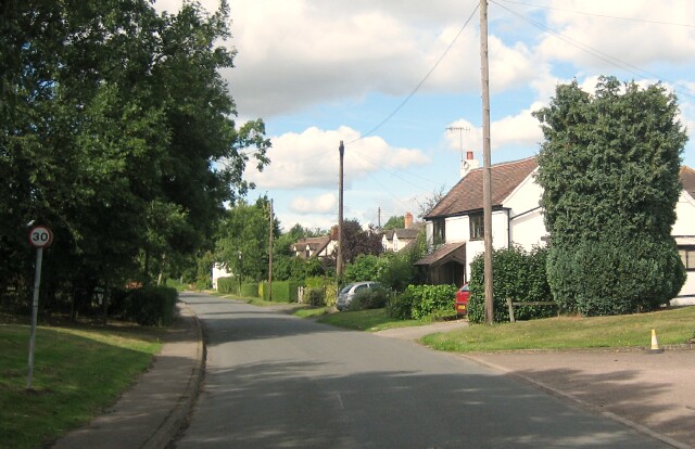
The village is characterized by its quaint, traditional cottages and historic buildings. It has a close-knit community, with a population of around 200 people. Despite its small size, Ab Lench boasts a strong sense of community spirit, with various social events and gatherings organized throughout the year.

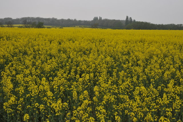
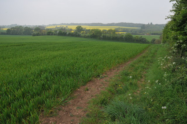
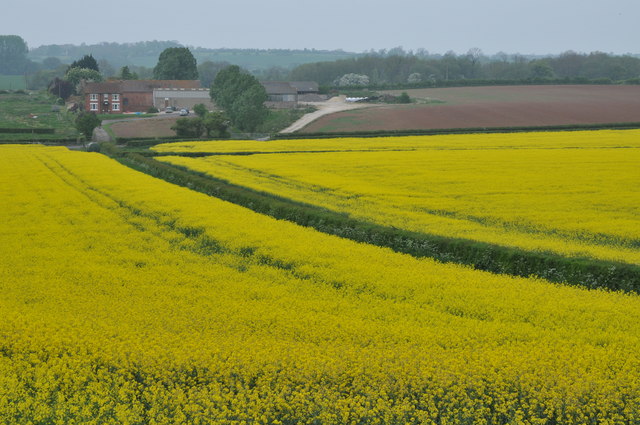
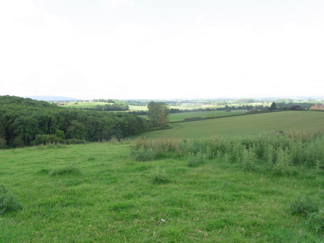
The village is predominantly agricultural, with farming being the main occupation of its residents. The fertile land surrounding Ab Lench is used for crop cultivation and livestock rearing. The landscape is dotted with fields of wheat, barley, and rapeseed, adding to the village's rural charm.

Although Ab Lench does not have its own school or shop, essential amenities can be found in the nearby villages of Church Lench and Rous Lench. The village is well-connected to the wider area, with good road links to Worcester and other surrounding towns.

For those seeking recreational activities, Ab Lench offers ample opportunities for outdoor pursuits. The surrounding countryside provides beautiful walking and cycling routes, allowing residents to enjoy the natural beauty of the area.

Ab Lench is a hidden gem within Worcestershire, offering a peaceful and picturesque lifestyle for its residents, while still being within easy reach of essential amenities and larger towns.

If you have any feedback on the listing, please let us know in the comments section below.
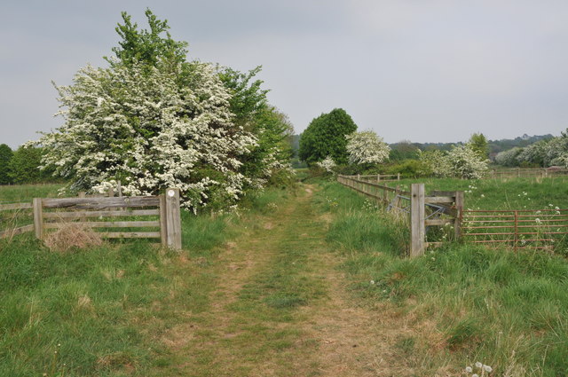
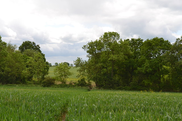
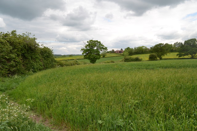
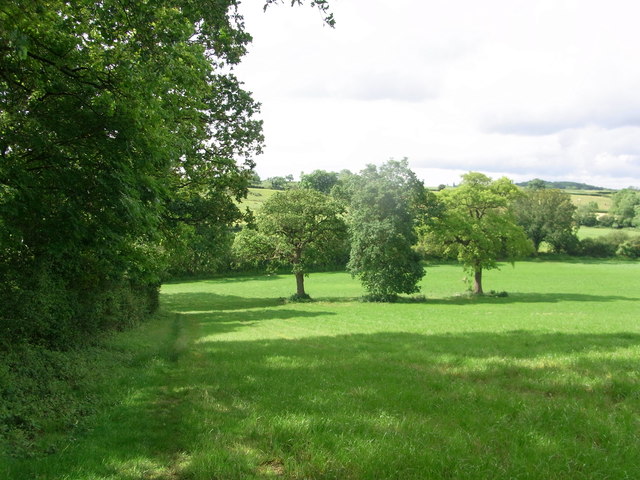
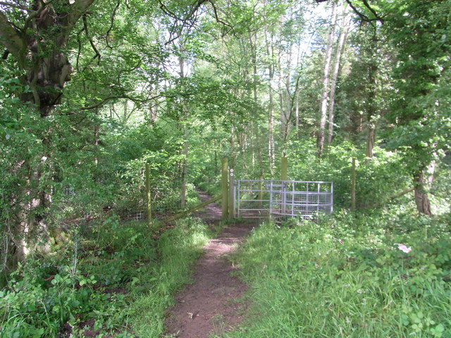
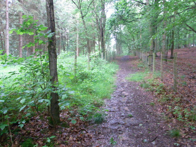
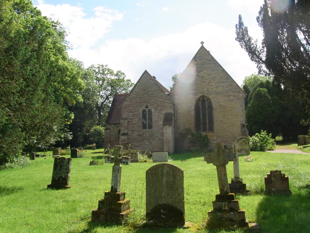
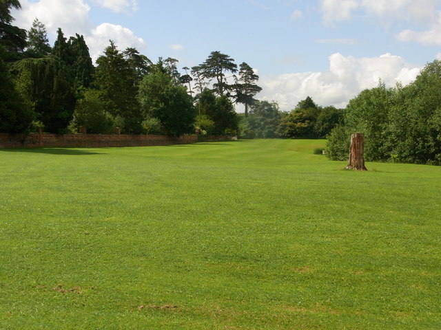
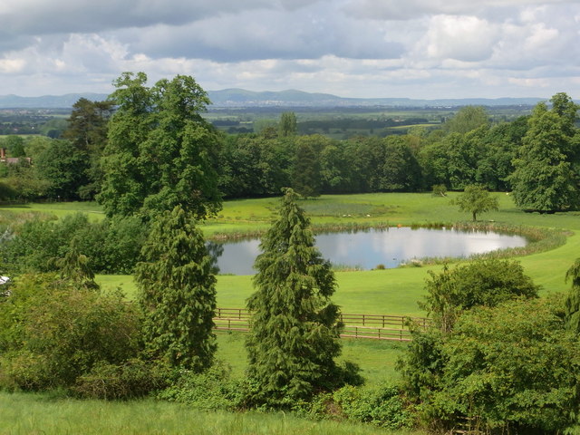
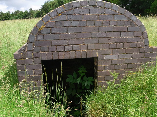
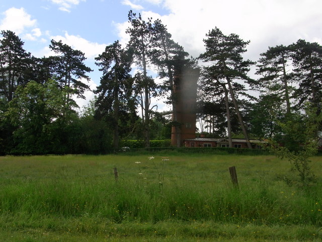
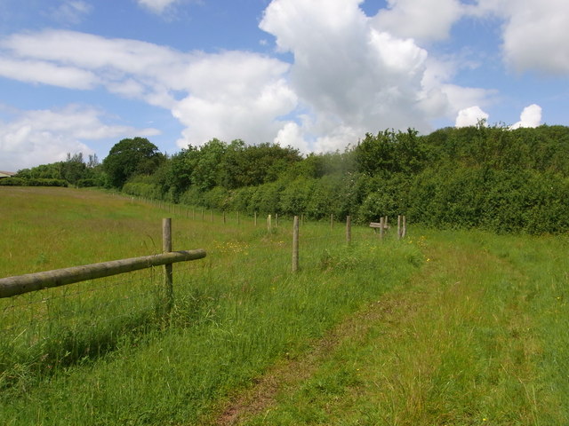
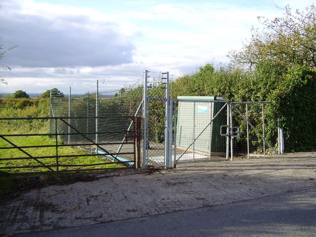
Ab Lench Images

Images are sourced within 2km of 52.163533/-1.980962 or Grid Reference SP0151. Thanks to Geograph Open Source API. All images are credited.

Entrance to Hayes Farm The milk churns featured in the first geograph are still screwed down!
See - <a href="https://www.geograph.org.uk/photo/40277">SO9950 : Milk churns by a country road</a>.
Entrance to Hayes Farm
The milk churns featured in the first geograph are still screwed down! See - SO9950 : Milk churns by a country road.
Oilseed Rape in the Lenches This is square has no building within it, farmland and arable land predominate.
Oilseed Rape in the Lenches
This is square has no building within it, farmland and arable land predominate.
Footpath through arable land The footpath following the hedgerow of this arable field is now the route of the Wychavon Way, I believe its route has recently been changed.
Footpath through arable land
The footpath following the hedgerow of this arable field is now the route of the Wychavon Way, I believe its route has recently been changed.
Lower Barn Farm View across fields of oilseed rape to Lower Barn Farm.
Lower Barn Farm
View across fields of oilseed rape to Lower Barn Farm.
Wychavon Way approaching Rous Lench The Wychavon Way follows a bridleway as it approaches the village of Rous Lench.
Wychavon Way approaching Rous Lench
The Wychavon Way follows a bridleway as it approaches the village of Rous Lench.
Footpath leading to footbridge south of Atch Lench Taken from the stile leading into the next field, just within the grid square.
Footpath leading to footbridge south of Atch Lench
Taken from the stile leading into the next field, just within the grid square.
Footpath leading to Atch Lench The footpath bends left before turning right and leading out of the grid square.
Footpath leading to Atch Lench
The footpath bends left before turning right and leading out of the grid square.
Wychavon Way along edge of  Old Yew Hill Wood
Wychavon Way along edge of Old Yew Hill Wood
Wychavon Way enters Old Yew Hill Wood
Fenced path alongside track Wychavon Way in Yeald Wood near the northern edge.
Fenced path alongside track
Wychavon Way in Yeald Wood near the northern edge.
View SW from Wychavon Way near Rous Lench
St. Peter's church , Rous Lench
Impressive wall bounding the garden of Rous Lench Court
The lake in the grounds of Rous Lench Court From footpath on the ridge to the north of the Court. Splendid view to the Malvern Hills.
The lake in the grounds of Rous Lench Court
From footpath on the ridge to the north of the Court. Splendid view to the Malvern Hills.
Entrance to former icehouse ? Rous Lench Be careful, the grid that should guard the entrance is lying in the long grass just off the footpath. Some references are to an icehouse in the grounds of Rous Lench Court but nothing recent. The bricks are Victorian so it could have been built by mid C19.
Entrance to former icehouse ? Rous Lench
Be careful, the grid that should guard the entrance is lying in the long grass just off the footpath. Some references are to an icehouse in the grounds of Rous Lench Court but nothing recent. The bricks are Victorian so it could have been built by mid C19.
The Tower in grounds of Rous Lench Court The Tower is Grade II listed but appears to be private housing now.
The Tower in grounds of Rous Lench Court
The Tower is Grade II listed but appears to be private housing now.
Bridleway south of Slade Wood Looks dry but lots of standing water after several days of heavy rain.
Bridleway south of Slade Wood
Looks dry but lots of standing water after several days of heavy rain.
Pumping Station, Evesham Road
Show me another place!

Ab Lench is located at Grid Ref: SP0151 (Lat: 52.163533, Lng: -1.980962)

Administrative County: Worcestershire

District: Wychavon

Police Authority: West Mercia

What 3 Words

///adopters.prove.bath. Near Harvington, Worcestershire

Nearby Locations

Ab Lench

Related Wikis

Church Lench

Church Lench is a village and former civil parish, now in the parish of South Lenches, in the Wychavon district, in the county of Worcestershire, England...

Ab Lench

Ab Lench is a village and former civil parish, now in the parish of South Lenches, in the Wychavon district, in the county of Worcestershire, England...

Atch Lench

Atch Lench is a village in Worcestershire, England. == External links == Media related to Atch Lench at Wikimedia Commons Atch Lench in the Domesday Book

Bishampton

Bishampton is a village and civil parish in the Wychavon district of Worcestershire, England with a population of 625. It contains a church, a village...

Abberton Hall

Abberton Hall is a small country house in the village of Abberton, Worcestershire, England, near Pershore. == History == It is an irregular two-story...

Abberton, Worcestershire

Abberton is a small village in Worcestershire, England. In 1991, the population was 44, this grew to 67 in 24 households in 2001.The principal house in...

Goom's Hill

Goom's Hill is a location near Abbots Morton in Worcestershire, England.

Radford, Worcestershire

Radford is a hamlet in the Wychavon district of Worcestershire, England. It is 1 mile SSW of Inkberrow. In 2013, Landscan population maps show there to...

Related Videos

Ep. 7. Rous Lench

Rous Lench is a small village in rural Worcestershire with, at least, three place of historical interest. I rode there, on a fabulous, ...

Driving From Flyford Flavell, Worcestershire Through Radford To Dunnington, Warwickshire, England

Driving from Flyford Flavell, Worcestershire (with a brief stop at The Boot Inn) through Radford (Alcester Road), Goom's Hill, ...

Driving Along Leys Road Between Harvington & Atch Lench, Evesham, Worcestershire, England

Driving along Leys Road between Harvington & Atch Lench, Evesham, Worcestershire, England Videoed on Saturday, 22nd June ...

Driving From Dunnington, Warwickshire Through Radford To Flyford Flavell, Worcestershire, England

Driving from Dunnington (B4088) with a brief stop at Hillers Farm Shop, Warwickshire through Weethley Gate, Goom's Hill ...

Nearby Amenities

Located within 500m of 52.163533,-1.980962
Post Box
Collection Times: Mo-Fr 09:00; Sa 07:00
Operator: Royal Mail
Post Box Type: lamp
Ref: WR11 102D
Royal Cypher: EIIR
Royal Cypher Wikidata: Q33102113
Source: survey
Lat/Long: 52.164463/-1.9829752
Location Transition: yes
Power: pole
Lat/Long: 52.1621255/-1.9877201
Power: pole
Lat/Long: 52.1621573/-1.9873538
Power: pole
Lat/Long: 52.1624371/-1.9868813
Spitten Farm
Power: pole
Transformer: distribution
Voltage Primary: 11000
Lat/Long: 52.1627211/-1.9863819
Power: pole
Lat/Long: 52.1630049/-1.9862736
Power: pole
Lat/Long: 52.1635313/-1.9860844
Power: pole
Lat/Long: 52.1636228/-1.9738252
Power: pole
Lat/Long: 52.1639688/-1.9855716
Power: pole
Lat/Long: 52.1641596/-1.9748867
Abbots Lench
Power: pole
Transformer: distribution
Voltage Primary: 11000
Lat/Long: 52.1646251/-1.9814423
Power: pole
Lat/Long: 52.164651/-1.9853645
Power: pole
Lat/Long: 52.1647294/-1.9759639
Power: pole
Lat/Long: 52.1650344/-1.9810042
Power: pole
Lat/Long: 52.1652815/-1.9770235
Power: pole
Lat/Long: 52.1653741/-1.9851275
Power: pole
Lat/Long: 52.1657365/-1.9799691
Power: pole
Lat/Long: 52.1658509/-1.9781355
Power: pole
Lat/Long: 52.1660689/-1.9849481
Power: pole
Lat/Long: 52.1663442/-1.9790848
Power: pole
Lat/Long: 52.1666671/-1.9841848
Power: pole
Lat/Long: 52.1669187/-1.9801868
Power: pole
Lat/Long: 52.1672101/-1.9837053
Power: pole
Lat/Long: 52.1674455/-1.9811963
Power: pole
Lat/Long: 52.1677321/-1.9832443
Power: pole
Lat/Long: 52.1678697/-1.9820156
Barrier: stile
Foot: yes
Lat/Long: 52.167174/-1.9821825
Turning Loop
Lat/Long: 52.1621026/-1.9771215
Ab Lench
Place: hamlet
Source: OS Open Names
Wikidata: Q4663033
Wikipedia: en:Ab Lench
Lat/Long: 52.1644625/-1.9833834
Rookery Farm
Power: pole
Transformer: distribution
Voltage Primary: 11000
Lat/Long: 52.1628177/-1.9780145
Power: pole
Lat/Long: 52.1632541/-1.9780286
Power: pole
Lat/Long: 52.1641393/-1.9780675
Brookfield Farm
Power: pole
Transformer: distribution
Voltage Primary: 11000
Lat/Long: 52.1651199/-1.9780889
The data included in this document is from www.openstreetmap.org. The data is made available under ODbL.

Have you been to Ab Lench?

Leave your review of Ab Lench below (or comments, questions and feedback).