Abbas and Templecombe
Civil Parish in Somerset South Somerset
England
Abbas and Templecombe
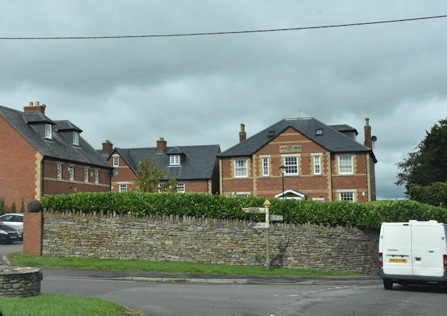
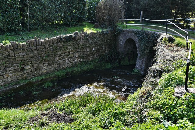
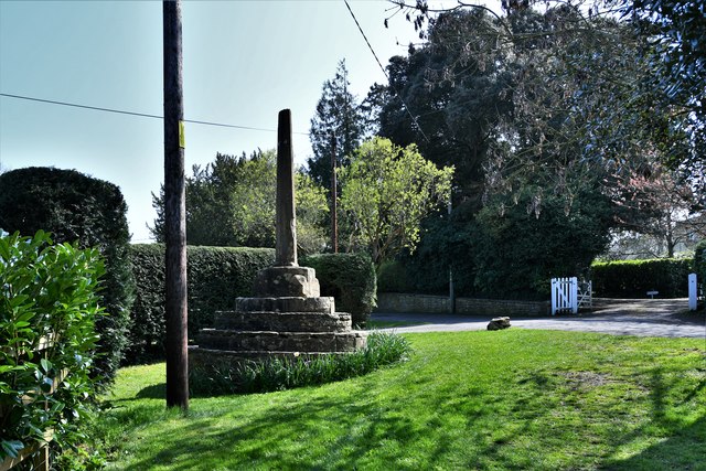
Abbas and Templecombe is a civil parish located in the county of Somerset, England. It is situated approximately 6 miles east of the town of Yeovil and 3 miles west of the town of Wincanton. The parish encompasses the villages of Abbas Combe and Templecombe.
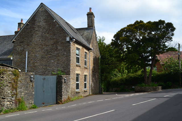
Abbas Combe is a small and picturesque village known for its charming rural setting. It is surrounded by beautiful countryside and offers stunning views of the rolling hills of Somerset. The village is home to a handful of traditional stone cottages and a historic church, which dates back to the 13th century. The church, dedicated to St. Andrew, is a noteworthy architectural gem and draws visitors for its unique design and historical significance.
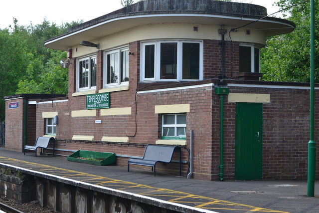
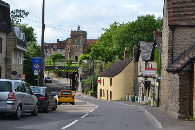
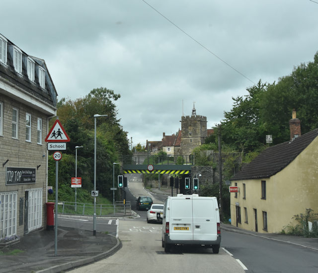
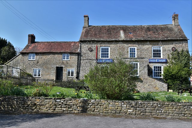
Templecombe, on the other hand, is a larger village with a more urban feel. It is located on the A357 road and has good transport links, including a railway station on the West of England Main Line. The village features a range of amenities, including shops, pubs, a primary school, and a village hall. It also has a rich history, with evidence of human settlement dating back to the Roman era.
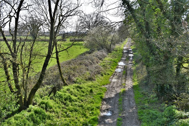
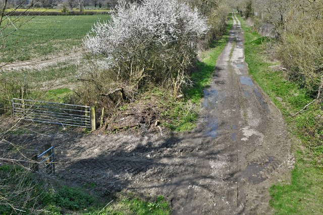
Abbas and Templecombe offer a peaceful and idyllic lifestyle, making them desirable places to live for those seeking tranquility and natural beauty. The area is popular with walkers and outdoor enthusiasts due to its proximity to the stunning countryside of Somerset.
If you have any feedback on the listing, please let us know in the comments section below.
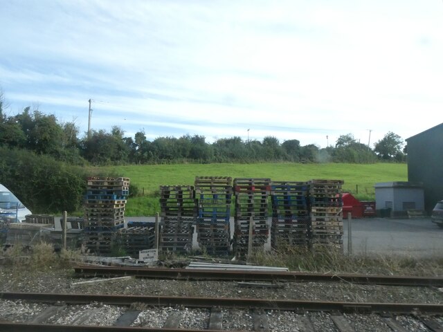
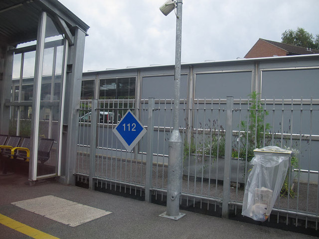
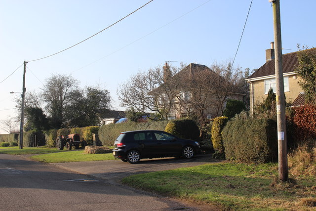
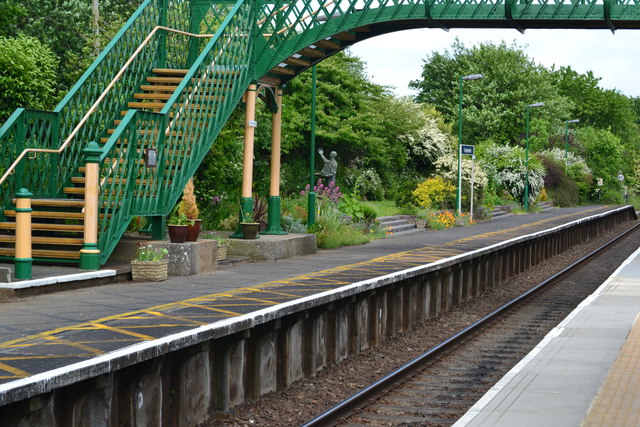
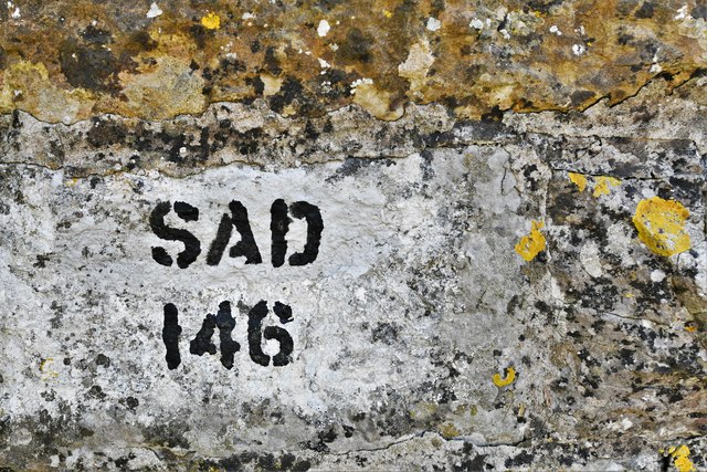
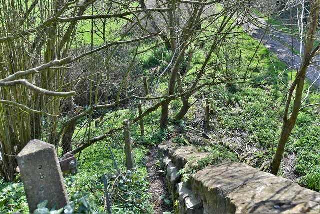
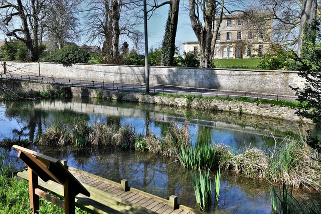
Abbas and Templecombe Images
Images are sourced within 2km of 51.002073/-2.4123 or Grid Reference ST7122. Thanks to Geograph Open Source API. All images are credited.
Abbas and Templecombe is located at Grid Ref: ST7122 (Lat: 51.002073, Lng: -2.4123)
Administrative County: Somerset
District: South Somerset
Police Authority: Avon and Somerset
What 3 Words
///packets.badminton.arrived. Near Templecombe, Somerset
Nearby Locations
Related Wikis

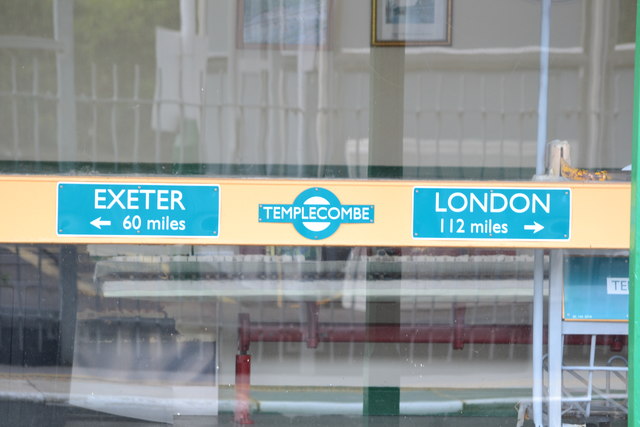
Templecombe railway station
Templecombe railway station serves the town of Templecombe in Somerset, England. It is situated on the West of England Main Line, 112 miles 2 chains (180...

Templecombe
Templecombe is a village in Somerset, England, situated on the A357 road five miles south of Wincanton, 12 miles (19 km) east of Yeovil, and 30 miles...

Church of St Mary, Abbas and Templecombe
The Anglican Church of St Mary at Templecombe, within the English county of Somerset, was built in the 12th century and is a Grade II* listed building...

Abbas Combe
Abbas Combe is a village in the civil parish of Abbas and Templecombe, in the county of Somerset, England. It is situated on the A357 road beside Templecombe...

Templecombe Preceptory
Templecombe Preceptory (or Combe Templariorum) was established in 1185 in Templecombe, Somerset, England. One of the manors within the parish was held...
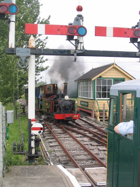
Gartell Light Railway
The Gartell Light Railway is a privately run narrow gauge railway located at Yenston in the Blackmore Vale, south of Templecombe, in Somerset, England...
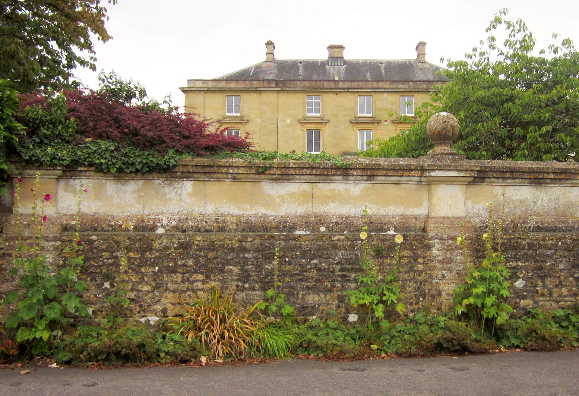
Horsington House
Horsington House is a country house in Horsington, near Templecombe in Somerset. It is a stone-built house with pillared porch, built in 1839. It is a...
Yenston Priory
Yenston Priory was a Benedictine priory in Henstridge, Somerset, England. It was a cell of the Abbey of Sever in Normandy, France. It was founded by Hugh...
Nearby Amenities
Located within 500m of 51.002073,-2.4123Have you been to Abbas and Templecombe?
Leave your review of Abbas and Templecombe below (or comments, questions and feedback).