Abberley
Civil Parish in Worcestershire Malvern Hills
England
Abberley
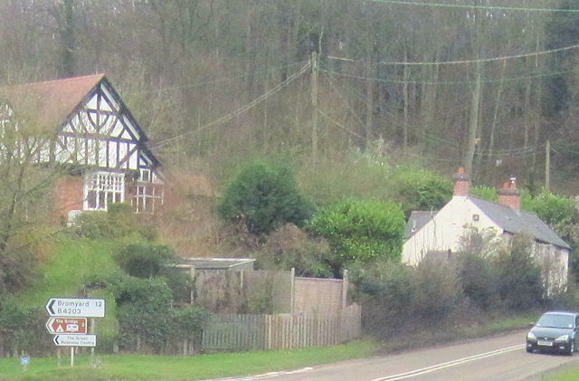
Abberley is a civil parish located in the county of Worcestershire, England. It is situated approximately 12 miles northwest of the city of Worcester and is nestled within the picturesque Malvern Hills Area of Outstanding Natural Beauty.
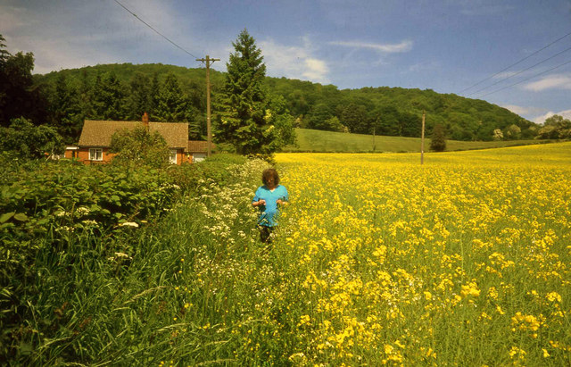
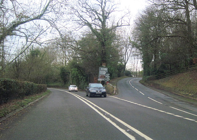
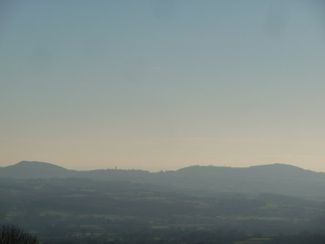
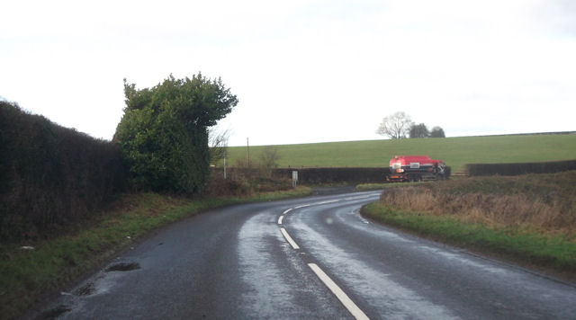
The village of Abberley is known for its charming and idyllic countryside setting, offering breathtaking views of rolling hills and lush green fields. It is surrounded by a rich tapestry of woodlands and meadows, making it a popular destination for outdoor enthusiasts and nature lovers.
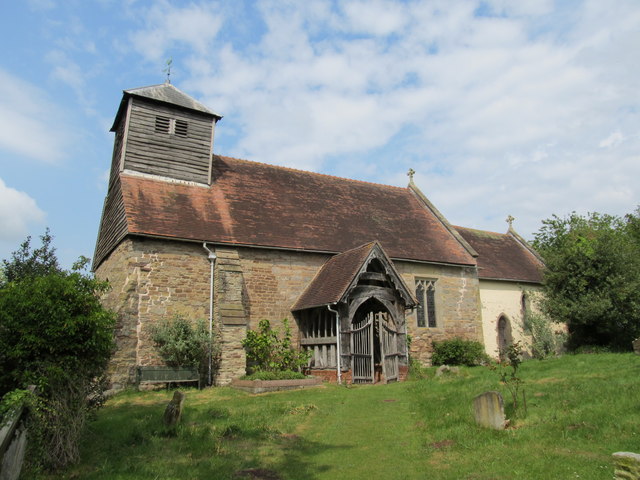
The parish encompasses an area of around 16 square kilometers and has a population of approximately 800 residents. The village itself comprises a mix of historic and modern buildings, with the iconic St. Michael's Church dating back to the 13th century being one of the notable landmarks.
Abberley boasts a close-knit and friendly community, with a range of amenities available to its residents. These include a primary school, a village hall, a post office, and a local pub, providing a focal point for social gatherings and events.
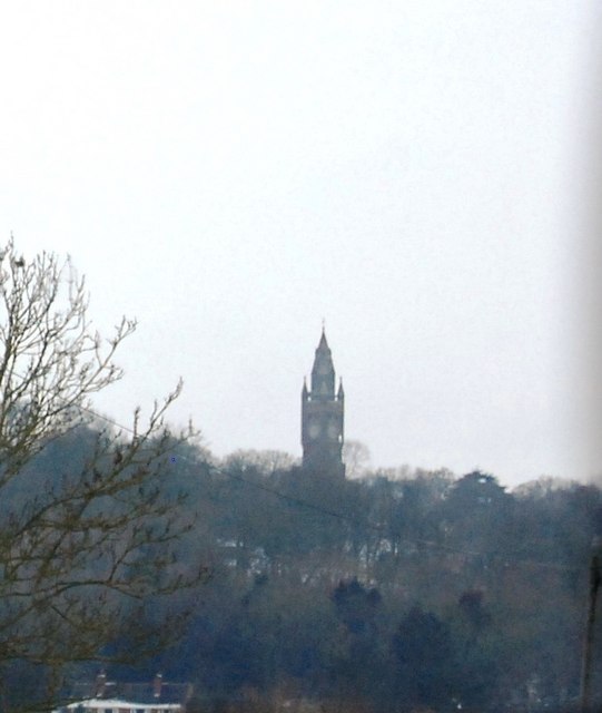
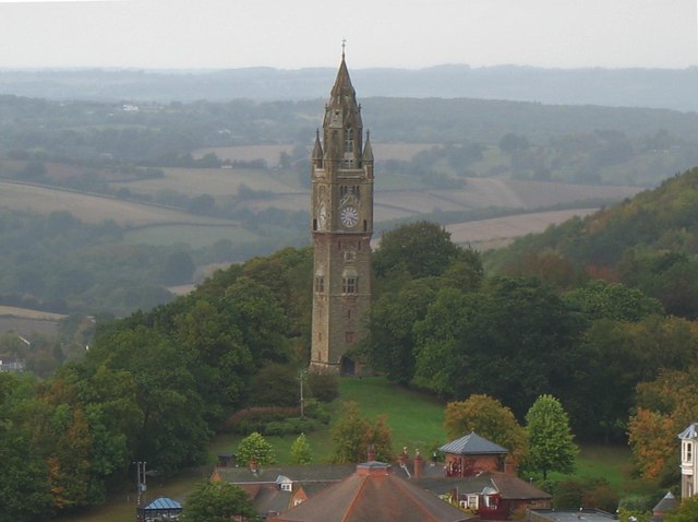
For visitors, Abberley offers a range of activities and attractions. The Abberley Clock Tower is a popular landmark, offering panoramic views of the surrounding countryside. The nearby Abberley Hall, an impressive country house built in the Victorian era, is also worth a visit.
Overall, Abberley is a tranquil and picturesque civil parish that offers a peaceful retreat from the bustling city life, with its stunning natural surroundings and strong sense of community.
If you have any feedback on the listing, please let us know in the comments section below.
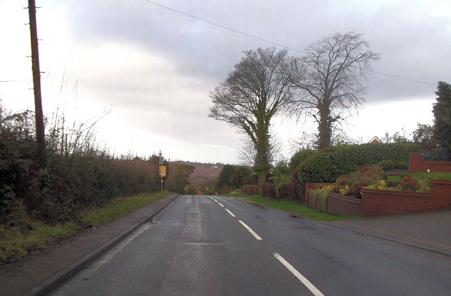
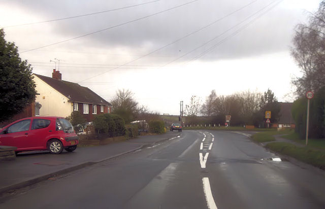
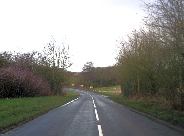
Abberley Images
Images are sourced within 2km of 52.302669/-2.391728 or Grid Reference SO7367. Thanks to Geograph Open Source API. All images are credited.

Abberley is located at Grid Ref: SO7367 (Lat: 52.302669, Lng: -2.391728)
Administrative County: Worcestershire
District: Malvern Hills
Police Authority: West Mercia
What 3 Words
///bedding.acting.evolution. Near Stourport-on-Severn, Worcestershire
Nearby Locations
Related Wikis
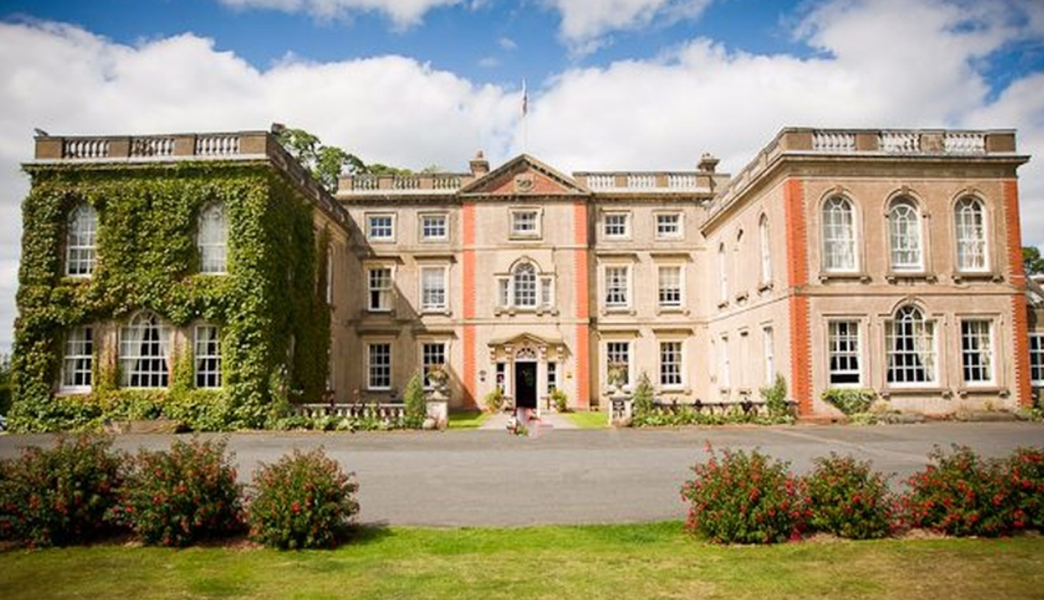
The Elms, Abberley
The Elms Hotel in Abberley, Worcestershire is a building of historical significance and is Grade II listed on the English Heritage Register. It was built...
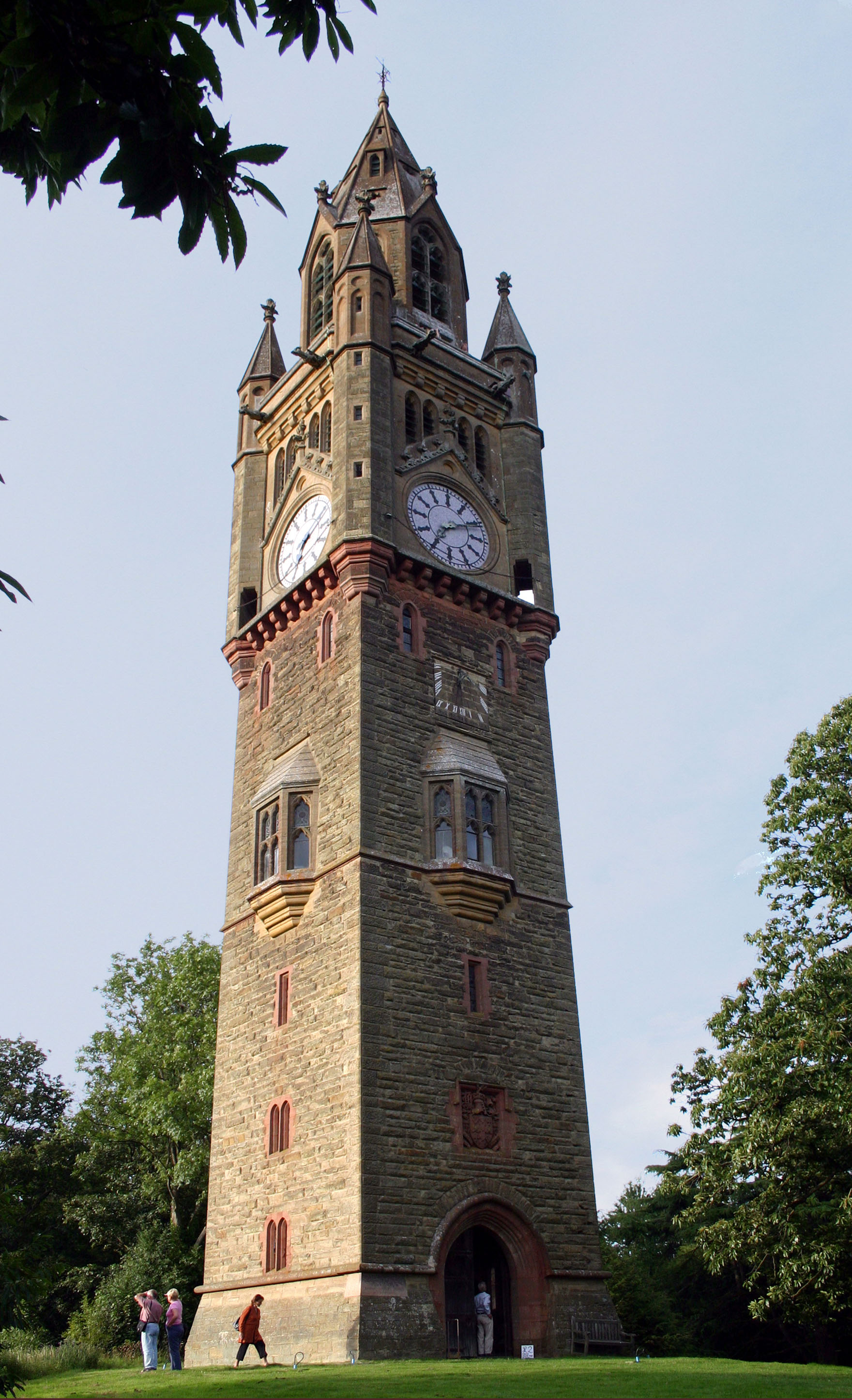
Abberley Clock Tower
Abberley Clock Tower is a prominent, distinctive clock tower in Abberley, Worcestershire, England. Built by James Piers St Aubyn around 1883 for Abberley...

Abberley Hall School
Abberley Hall School was a coeducational preparatory day and boarding school with about 160 pupils. It was located between Worcester and Tenbury, near...
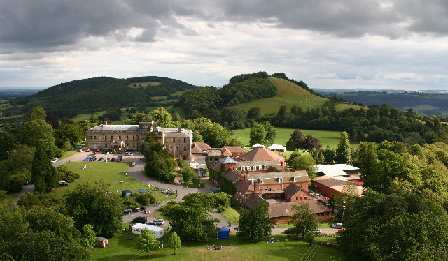
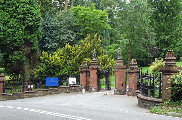
Abberley Hall
Abberley Hall is a country house in the north-west of the county of Worcestershire, England. The present Italianate house is the work of Samuel Daukes...

Abberley
Abberley is a village and civil parish in north west Worcestershire, England. It is situated on the northern slopes of Abberley Hill, which is 283 metres...

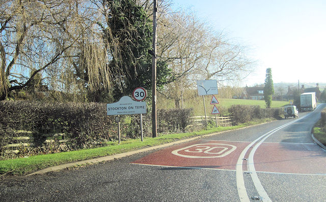
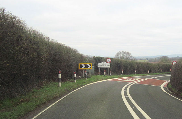
Stockton on Teme
Stockton on Teme is a village and civil parish in the Malvern Hills District in the county of Worcestershire, England. It is close to the River Teme and...

Pensax
Pensax is a village and civil parish of northwest Worcestershire in England, incorporating the hamlet of Menithwood to the west of Pensax Common. According...

Woodbury Hill
Woodbury Hill is a hill near the village of Great Witley, about 5 miles (8 km) south-west of Stourport-on-Severn in Worcestershire, England. It is the...
Nearby Amenities
Located within 500m of 52.302669,-2.391728Have you been to Abberley?
Leave your review of Abberley below (or comments, questions and feedback).