Abberton

Civil Parish in Essex Colchester

England

Abberton

A nice view of Abberton Reservoir Well; wasn't it nice of the landowners to create a permissive path/bridleway that follows some sections of the reservoir; cos this really does make a good walk with plenty of superb views; like this one for instance. Reminds me of the beautiful river estuaries of the Colne & Stour in places. All that's needed is a path to connect Lodge Lane; Peldon to the B1026; so don't have to walk along a dangerous section of the Wigborough Road, like one has to do at the moment!
A nice view of Abberton Reservoir Credit: Mr James D

Abberton is a civil parish located in the county of Essex, England. Situated approximately 8 miles south of the city of Colchester, it covers an area of around 9 square miles. Abberton is a rural area with a small population, mainly consisting of residential properties and agricultural land.

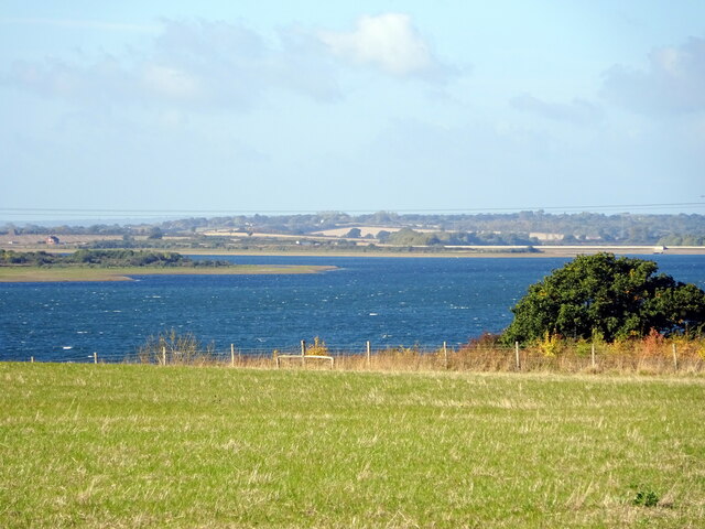
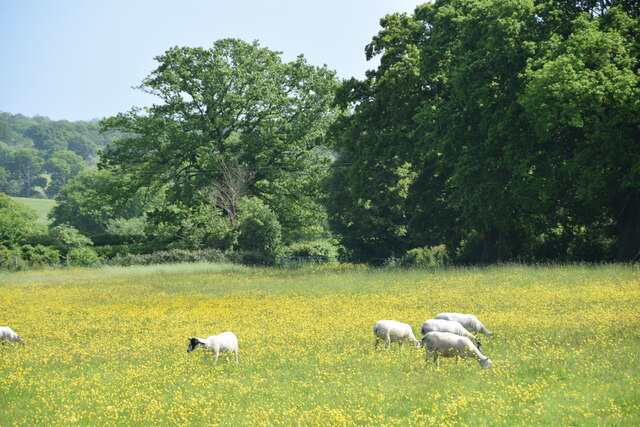
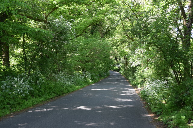
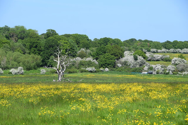
The parish is known for its picturesque countryside, with rolling hills and charming villages scattered throughout. It is bordered by the villages of Layer de la Haye, Layer Breton, and Peldon. The landscape is predominantly agricultural, with farms and fields dominating the scenery.

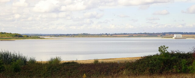
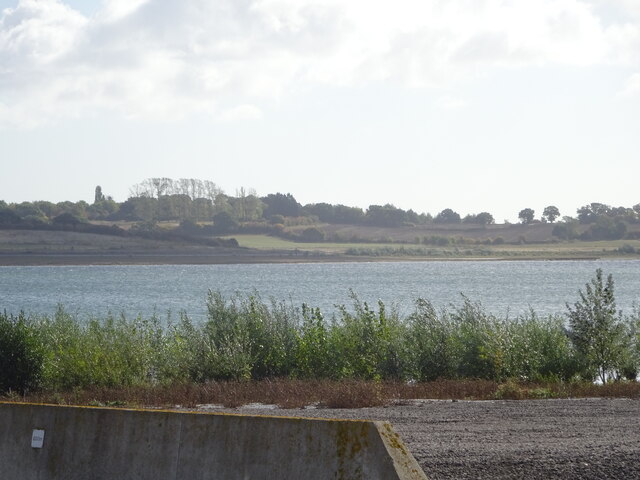
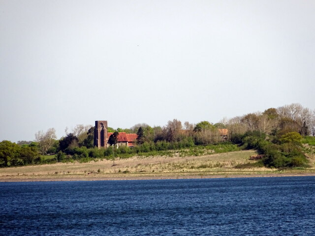
Abberton is home to several historic buildings and landmarks, including the 12th-century St. Andrew's Church, which serves as the parish church. The area is also known for its abundance of wildlife, particularly birdlife, as it is situated close to the Abberton Reservoir, a large freshwater lake. The reservoir is a popular spot for birdwatching and attracts a variety of bird species throughout the year.

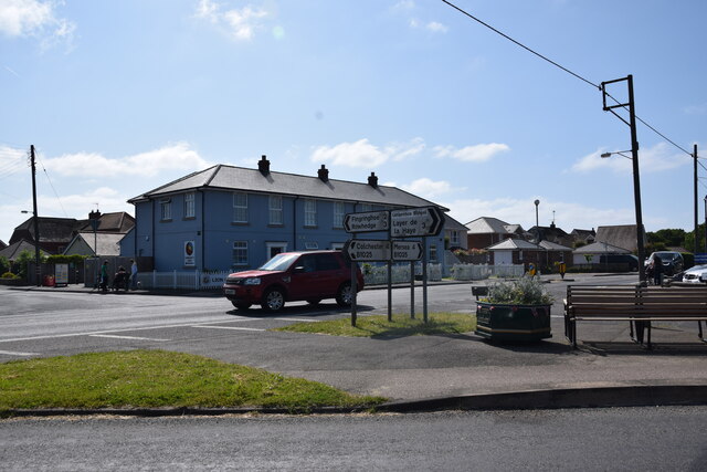
The parish has limited amenities, with no major shopping centers or commercial districts. However, there are a few local businesses, including a village pub and a primary school. Many residents in Abberton commute to nearby towns and cities for employment and services.

Overall, Abberton offers a tranquil and scenic setting for those seeking a quiet countryside lifestyle. Its rich history, natural beauty, and close proximity to other towns make it an attractive place to live for those who appreciate rural living.

If you have any feedback on the listing, please let us know in the comments section below.
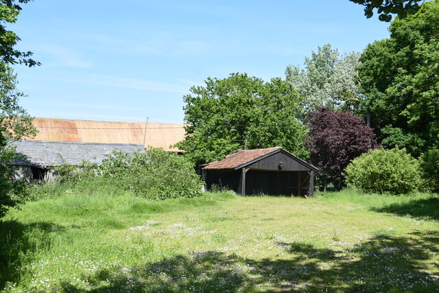
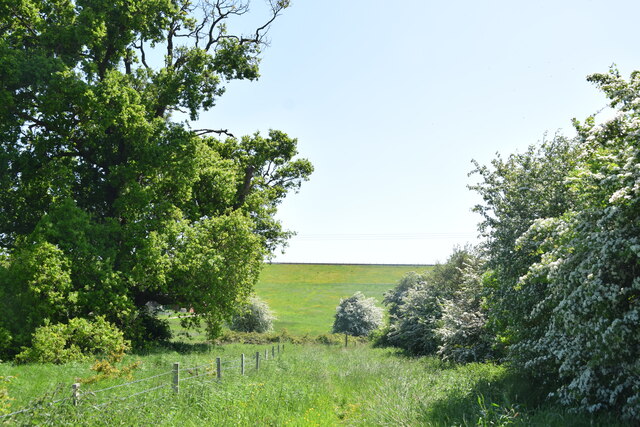
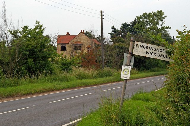
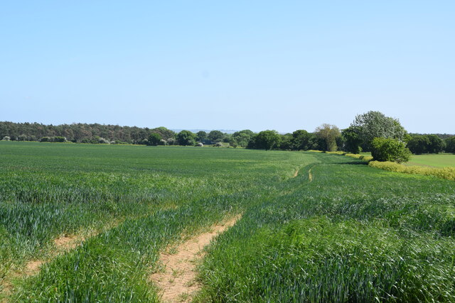
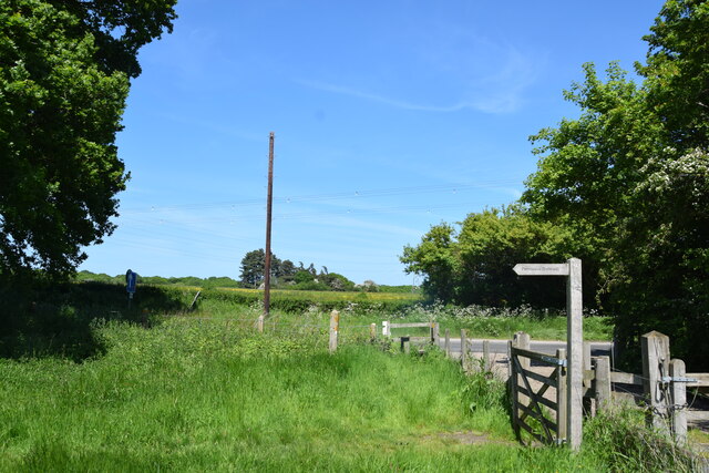
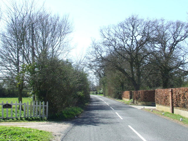
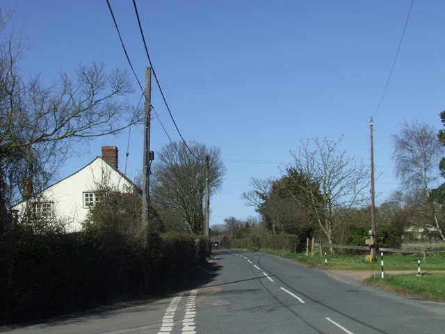
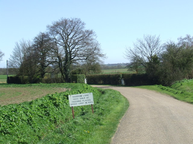
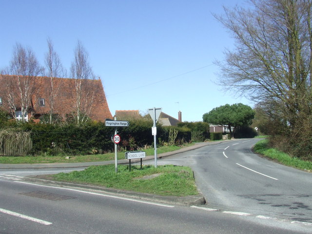
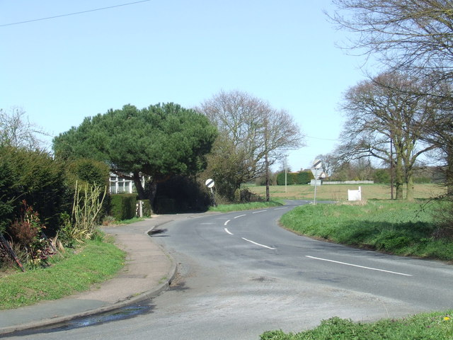
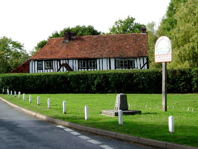
Abberton Images

Images are sourced within 2km of 51.834247/0.897278 or Grid Reference TL9919. Thanks to Geograph Open Source API. All images are credited.

A nice view of Abberton Reservoir Well; wasn't it nice of the landowners to create a permissive path/bridleway that follows some sections of the reservoir; cos this really does make a good walk with plenty of superb views; like this one for instance. Reminds me of the beautiful river estuaries of the Colne & Stour in places. All that's needed is a path to connect Lodge Lane; Peldon to the B1026; so don't have to walk along a dangerous section of the Wigborough Road, like one has to do at the moment!
A nice view of Abberton Reservoir
Well; wasn't it nice of the landowners to create a permissive path/bridleway that follows some sections of the reservoir; cos this really does make a good walk with plenty of superb views; like this one for instance. Reminds me of the beautiful river estuaries of the Colne & Stour in places. All that's needed is a path to connect Lodge Lane; Peldon to the B1026; so don't have to walk along a dangerous section of the Wigborough Road, like one has to do at the moment!
Abberton Reservoir from a permissive path; Near Layer-De-La Haye This section of the path I only discovered last Saturday. I was soon to find out that it ended on a "private" section of Fields Farm Road!
Abberton Reservoir from a permissive path; Near Layer-De-La Haye
This section of the path I only discovered last Saturday. I was soon to find out that it ended on a "private" section of Fields Farm Road!
Another nice view of Abberton Reservoir
View of St Andrews church & Abberton Reservoir
Farm buildings at Abberton Hall Taken from the footpath to the church.
Farm buildings at Abberton Hall
Taken from the footpath to the church.
Dam of Abberton Reservoir Ahead is the back slope of the dam of Abberton Reservoir taken from the permissive footpath which runs behind the dam.
Dam of Abberton Reservoir
Ahead is the back slope of the dam of Abberton Reservoir taken from the permissive footpath which runs behind the dam.
Dereliction on the Mersea Rd The house in the background located on  the B1025 has been empty since at least the mid 1960’s. The signpost indicates why TM01 is going to be difficult to complete, several square kilometres are covered by the  Fingringhoe army ranges that are closed to the public.
Dereliction on the Mersea Rd
The house in the background located on the B1025 has been empty since at least the mid 1960’s. The signpost indicates why TM01 is going to be difficult to complete, several square kilometres are covered by the Fingringhoe army ranges that are closed to the public.
Cereal crop A short distance south of Tudhoe Farm.
Cereal crop
A short distance south of Tudhoe Farm.
Sheep and buttercups Sheep grazing in a field by Haye Lane.
Sheep and buttercups
Sheep grazing in a field by Haye Lane.
Crossroad in Abberton Taken from Layer Road, with Mersea Road crossing and looking towards Fingrinhoe Road.
Crossroad in Abberton
Taken from Layer Road, with Mersea Road crossing and looking towards Fingrinhoe Road.
Haye Lane, Abberton A lane north of the village of Abberton.
Haye Lane, Abberton
A lane north of the village of Abberton.
Dead oak, buttercups, hawthorn blossom A view across a pasture north of Abberton Reservoir.
Dead oak, buttercups, hawthorn blossom
A view across a pasture north of Abberton Reservoir.
Looking across Abberton Road  Taken from the permissive footpath which runs north of the dam of Abberton Reservoir.
Looking across Abberton Road
Taken from the permissive footpath which runs north of the dam of Abberton Reservoir.
Abberton Road near Abberton, Essex
Lodge Lane near Abberton, Essex The non-standard sign and speed limit suggest that this may be a private road.
Lodge Lane near Abberton, Essex
The non-standard sign and speed limit suggest that this may be a private road.
Road junction near Abberton A road junction near the village of Abberton in Essex.
Road junction near Abberton
A road junction near the village of Abberton in Essex.
School Lane near Abberton, Essex
Show me another place!

Abberton is located at Grid Ref: TL9919 (Lat: 51.834247, Lng: 0.897278)

Administrative County: Essex

District: Colchester

Police Authority: Essex

What 3 Words

///circle.spoken.finest. Near Layer de la Haye, Essex

Nearby Locations

Abberton

Related Wikis

Nearby Amenities

Located within 500m of 51.834247,0.897278
Barrier: kissing_gate
Lat/Long: 51.8371519/0.8982111
Barrier: kissing_gate
Lat/Long: 51.8375594/0.8977005
Barrier: kissing_gate
Lat/Long: 51.838325/0.8966427
Barrier: kissing_gate
Lat/Long: 51.8370454/0.8987409
Power: pole
Lat/Long: 51.8360112/0.9021489
Power: pole
Lat/Long: 51.8355538/0.9006563
Power: pole
Lat/Long: 51.8333527/0.9036577
Power: pole
Lat/Long: 51.8334803/0.9025365
Power: pole
Lat/Long: 51.8339278/0.9015736
Power: pole
Lat/Long: 51.8345328/0.9003854
Power: pole
Lat/Long: 51.835103/0.8991837
Power: pole
Lat/Long: 51.835693/0.897966
Power: pole
Lat/Long: 51.8362963/0.8971184
Power: pole
Lat/Long: 51.8368929/0.8962575
The data included in this document is from www.openstreetmap.org. The data is made available under ODbL.

Have you been to Abberton?

Leave your review of Abberton below (or comments, questions and feedback).