Bangor is-y-Coed
Community in Flintshire
Wales
Bangor is-y-Coed
Bangor is-y-Coed is a small community located in the county of Flintshire, Wales. Situated near the border with England, the village lies approximately 5 miles south-west of the town of Wrexham. With a population of around 500 residents, it is a tight-knit and close community.
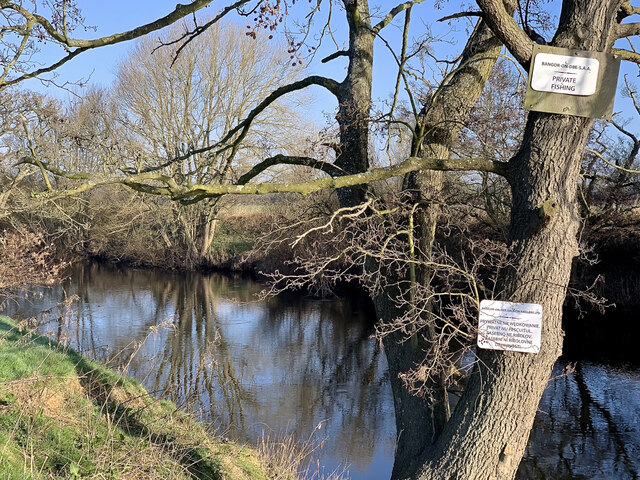
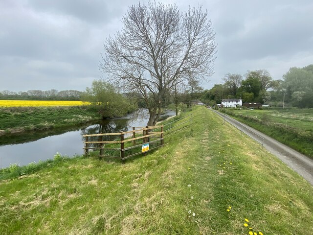
The name "Bangor is-y-Coed" translates to "Bangor below the woods," indicating its proximity to the surrounding woodland areas. The village itself is surrounded by picturesque countryside, offering residents and visitors a peaceful and scenic environment.
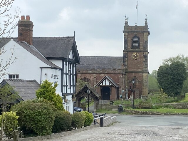
In terms of amenities, Bangor is-y-Coed offers limited facilities. There is a local primary school, which serves the community and surrounding areas. Additionally, the village has a church, providing a place of worship for residents. For more extensive services, residents often travel to nearby towns such as Wrexham or Chester.
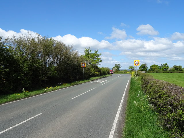
The community is well-connected in terms of transportation. The A525 road passes through the village, providing easy access to neighboring towns and cities. Additionally, the nearby Wrexham General railway station offers regular train services to destinations across the UK.
Despite its small size, Bangor is-y-Coed has a rich history. The village was once an important location for the Roman Empire, with evidence of Roman settlements and a Roman road passing nearby. Today, the community preserves its historical heritage through various local events and activities.
Overall, Bangor is-y-Coed is a charming and peaceful community, offering residents a tranquil rural lifestyle with convenient access to nearby amenities.
If you have any feedback on the listing, please let us know in the comments section below.
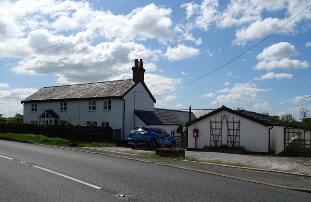
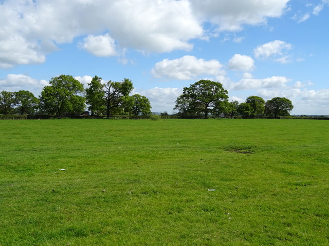
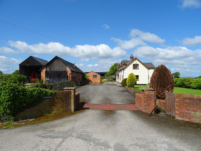
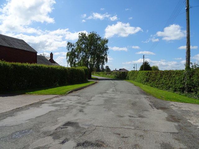
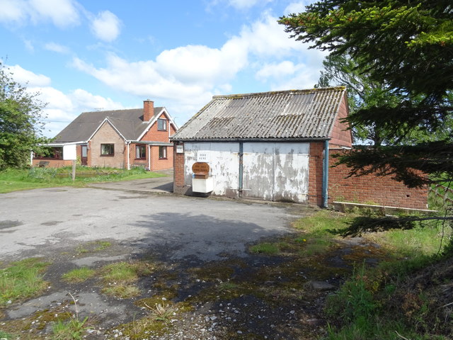
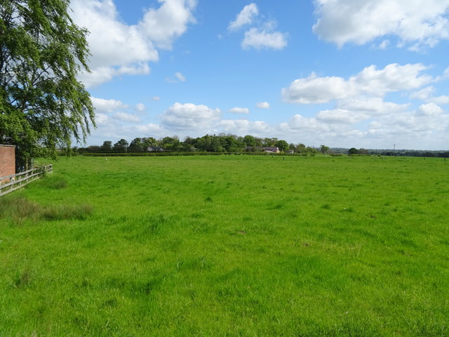
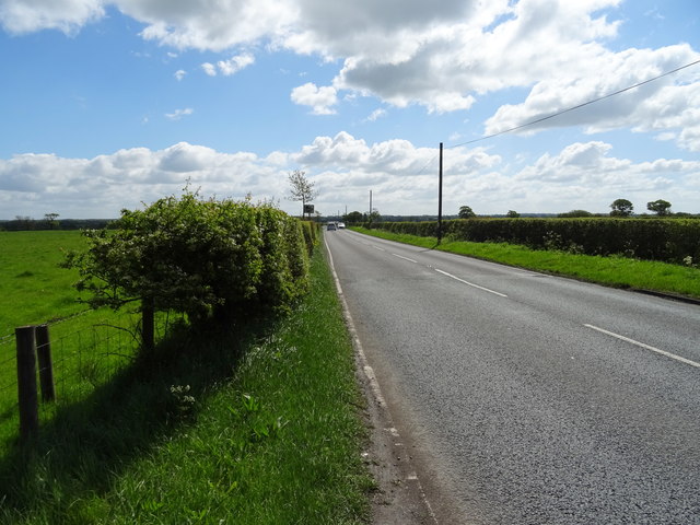
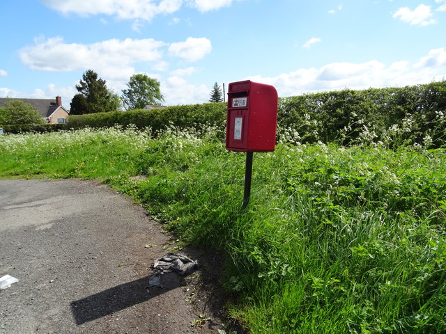
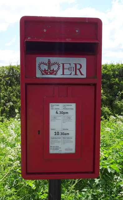
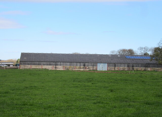
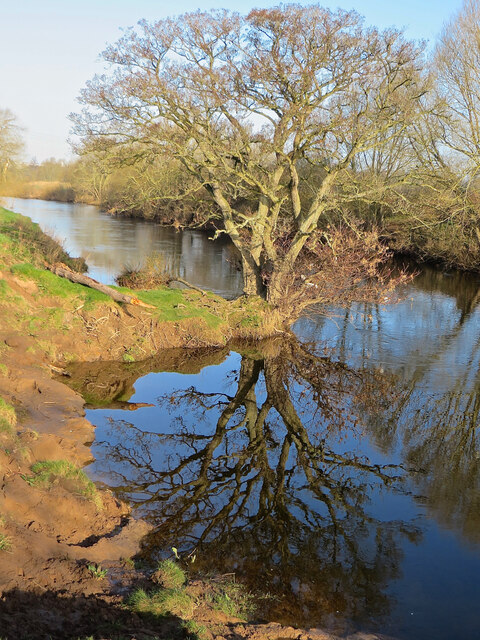
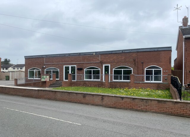
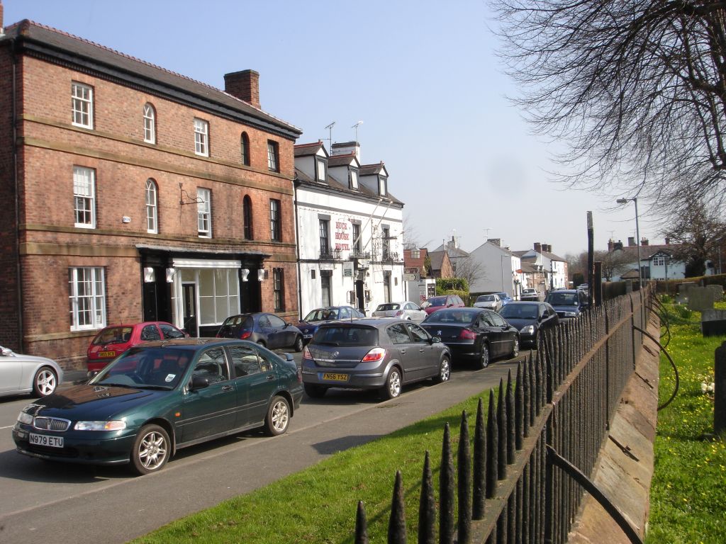
Bangor is-y-Coed Images
Images are sourced within 2km of 52.995765/-2.904868 or Grid Reference SJ3944. Thanks to Geograph Open Source API. All images are credited.
Bangor is-y-Coed is located at Grid Ref: SJ3944 (Lat: 52.995765, Lng: -2.904868)
Unitary Authority: Wrexham
Police Authority: North Wales
Also known as: Bangor Is-coed
What 3 Words
///shimmered.nuptials.sweetener. Near Overton, Wrexham
Nearby Locations
Related Wikis

Maelor
The Maelor is an area of north-east Wales along the border with England. It is now entirely part of Wrexham County Borough. The name Maelor is an old Welsh...

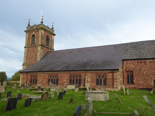
St Dunawd's Church
St Dunawd's Church, is in the village of Bangor-on-Dee, Wrexham County Borough, Wales. It is designated by Cadw as a Grade II* listed building. The church...
Bangor-on-Dee
Bangor-on-Dee (Welsh: Bangor-is-y-coed or standardised Bangor Is-coed) is a village and community in Wrexham County Borough, Wales, on the banks of the...

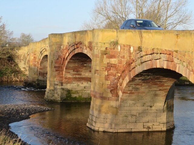
Bangor Bridge
Bangor Bridge (also known as the Bangor-on-Dee Bridge) is a Grade I listed bridge crossing the River Dee in Bangor-on-Dee, Wrexham County Borough, Wales...
Nearby Amenities
Located within 500m of 52.995765,-2.904868Have you been to Bangor is-y-Coed?
Leave your review of Bangor is-y-Coed below (or comments, questions and feedback).