Bangor Is-coed
Community in Flintshire
Wales
Bangor Is-coed
Bangor Is-coed is a small community located in the county of Flintshire, Wales. Situated in the eastern part of the county, it lies approximately 6 miles south-east of the town of Wrexham. The community is predominantly rural, with a relatively small population.
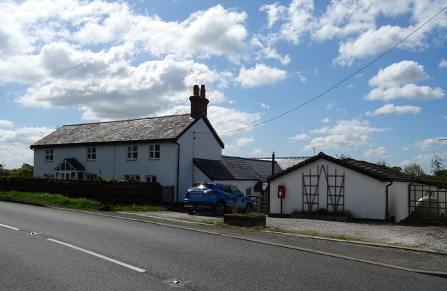
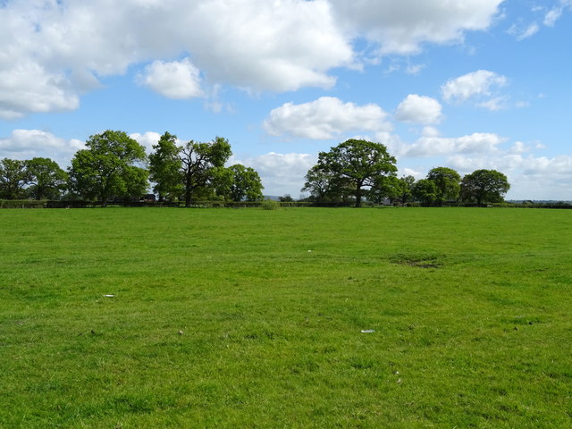
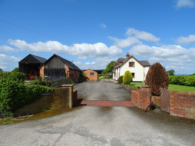
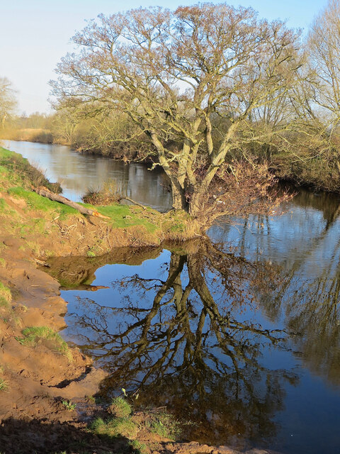
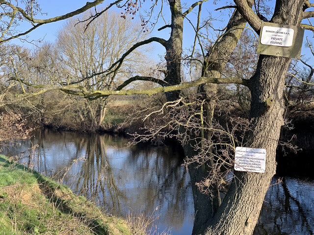
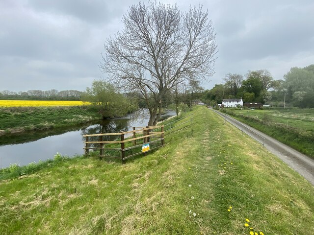
The area is known for its picturesque surroundings, characterized by rolling hills, expansive fields, and lush green landscapes. It is dotted with charming cottages and farmhouses, giving the community a tranquil and idyllic atmosphere. The region benefits from its close proximity to the River Dee, which flows nearby, providing opportunities for leisure activities such as fishing and boating.
Although primarily agricultural, Bangor Is-coed has a rich history dating back to the Roman period. The community is home to the remains of a Roman fort, which was a strategic military outpost during the Roman occupation of Britain. These historic ruins attract visitors interested in exploring the area's past.
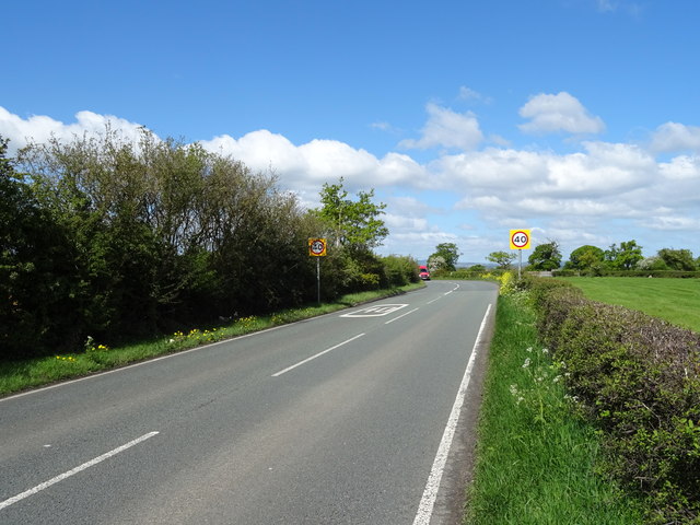
In terms of amenities, Bangor Is-coed has limited facilities. However, nearby towns provide residents with access to schools, healthcare services, and shopping centers. The community is well-connected to the rest of Flintshire and beyond via a network of roads, making it convenient for commuting and travel.
Overall, Bangor Is-coed offers a peaceful and scenic setting, making it an ideal location for those seeking a quiet lifestyle amidst nature's beauty. Its historical significance adds an extra layer of charm, attracting both residents and tourists looking to explore its past.
If you have any feedback on the listing, please let us know in the comments section below.
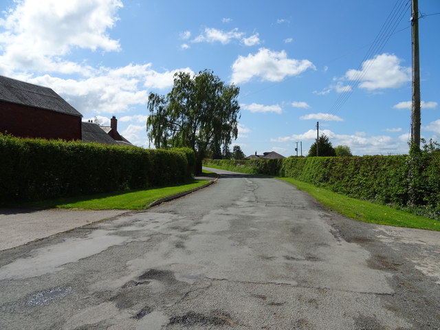
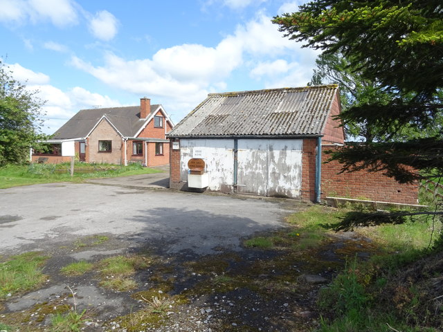
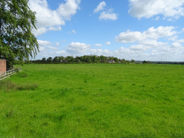
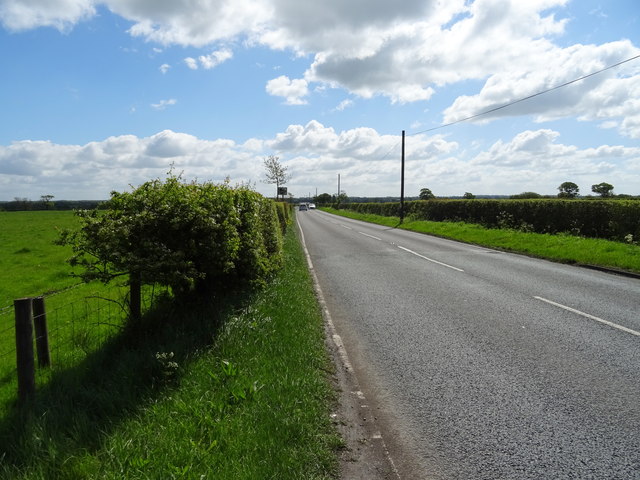
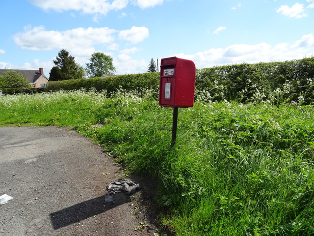
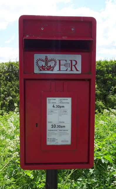
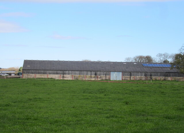
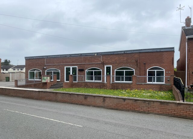
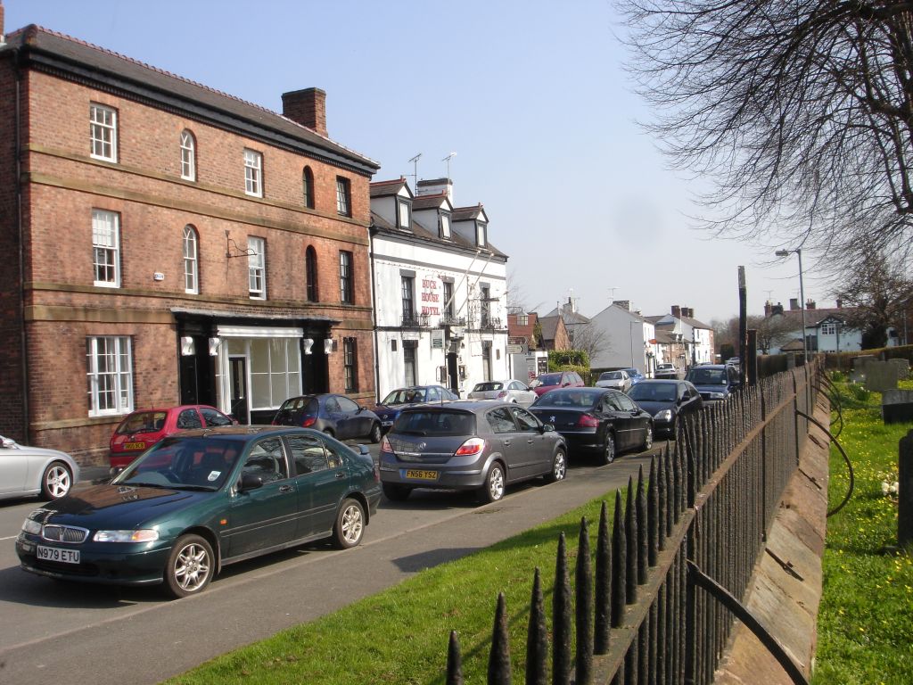
Bangor Is-coed Images
Images are sourced within 2km of 52.995765/-2.904868 or Grid Reference SJ3944. Thanks to Geograph Open Source API. All images are credited.
Bangor Is-coed is located at Grid Ref: SJ3944 (Lat: 52.995765, Lng: -2.904868)
Unitary Authority: Wrexham
Police Authority: North Wales
Also known as: Bangor is-y-Coed
What 3 Words
///shimmered.nuptials.sweetener. Near Overton, Wrexham
Nearby Locations
Related Wikis

Maelor
The Maelor is an area of north-east Wales along the border with England. It is now entirely part of Wrexham County Borough. The name Maelor is an old Welsh...

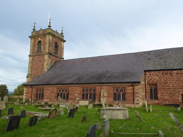
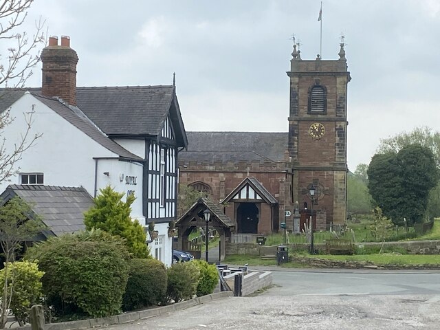
St Dunawd's Church
St Dunawd's Church, is in the village of Bangor-on-Dee, Wrexham County Borough, Wales. It is designated by Cadw as a Grade II* listed building. The church...
Bangor-on-Dee
Bangor-on-Dee (Welsh: Bangor-is-y-coed or standardised Bangor Is-coed) is a village and community in Wrexham County Borough, Wales, on the banks of the...

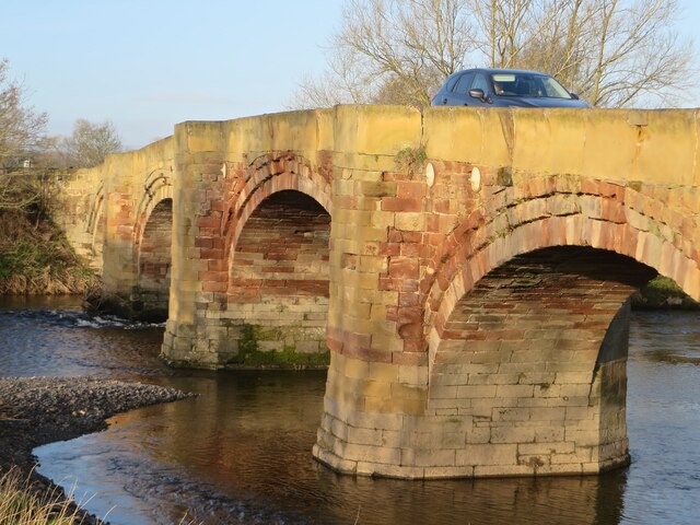
Bangor Bridge
Bangor Bridge (also known as the Bangor-on-Dee Bridge) is a Grade I listed bridge crossing the River Dee in Bangor-on-Dee, Wrexham County Borough, Wales...
Nearby Amenities
Located within 500m of 52.995765,-2.904868Have you been to Bangor Is-coed?
Leave your review of Bangor Is-coed below (or comments, questions and feedback).