Toft's Dingle
Valley in Flintshire
Wales
Toft's Dingle
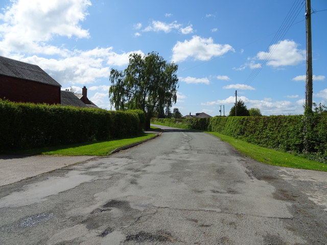
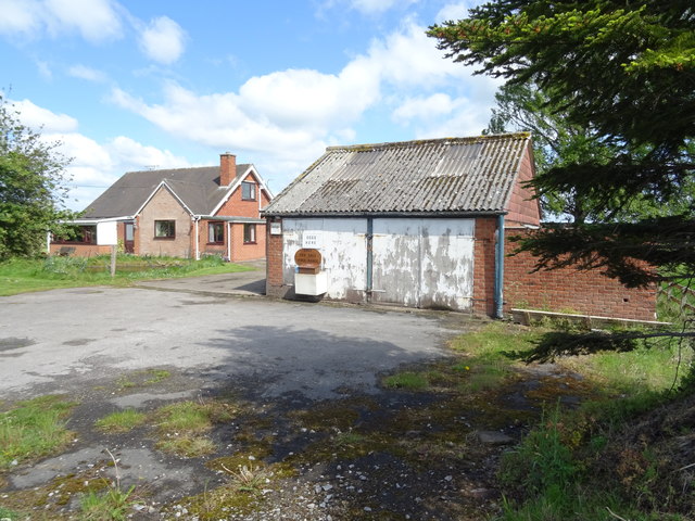
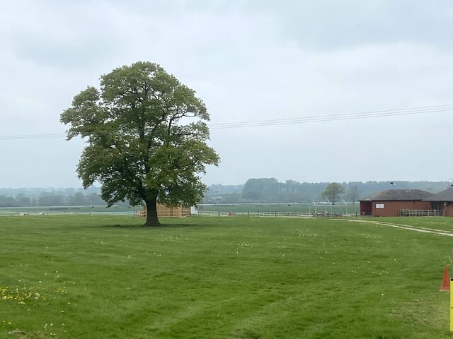
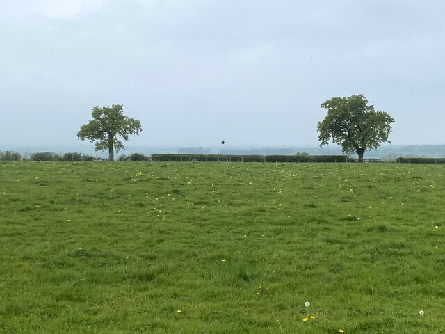
Toft's Dingle is a picturesque valley located in the county of Flintshire, Wales. Situated near the village of Llanasa, it is known for its stunning natural beauty and tranquil atmosphere. The dingle is nestled within the Clwydian Range Area of Outstanding Natural Beauty, offering visitors breathtaking panoramic views of the surrounding countryside.
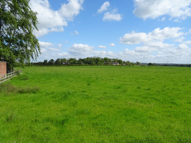
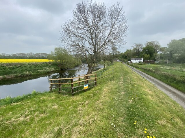
The valley is characterized by its lush greenery, rolling hills, and a meandering stream that runs through it. The stream, known as the Afon Toft, adds to the charm of the dingle, as it cascades over small waterfalls and creates peaceful pools along its course. This makes Toft's Dingle a popular spot for nature lovers, hikers, and photographers.
The dingle is home to a diverse range of plant and animal species, including rare birds, butterflies, and wildflowers. Visitors can spot wildlife such as otters, badgers, and foxes, adding to the sense of natural wonder in the area.
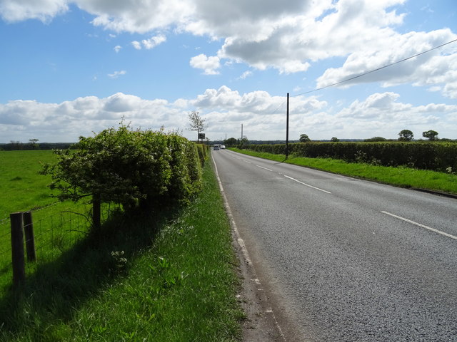
For those seeking outdoor activities, Toft's Dingle offers various walking trails that wind through the valley and the surrounding hills. These trails provide opportunities to explore the natural beauty of the area while enjoying the peaceful ambiance.
Toft's Dingle is easily accessible by car, with parking available nearby. Its proximity to other attractions, such as the Offa's Dyke Path and the Clwydian Range, makes it an ideal destination for day trips or longer stays.
Overall, Toft's Dingle in Flintshire is a hidden gem, offering visitors a chance to immerse themselves in the beauty of nature and escape the hustle and bustle of everyday life.
If you have any feedback on the listing, please let us know in the comments section below.
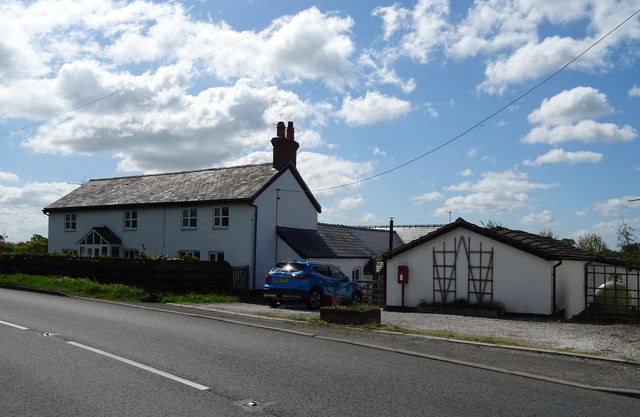
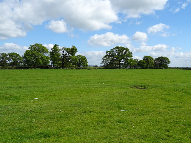
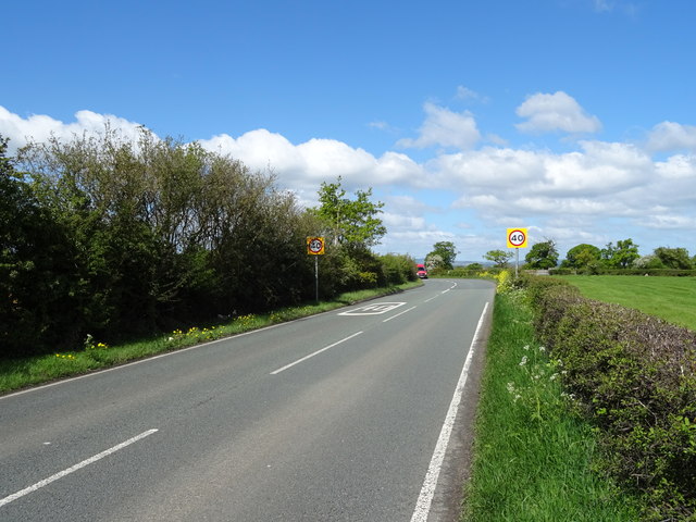
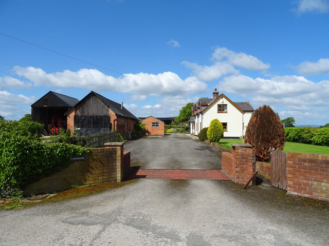
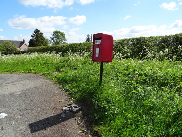
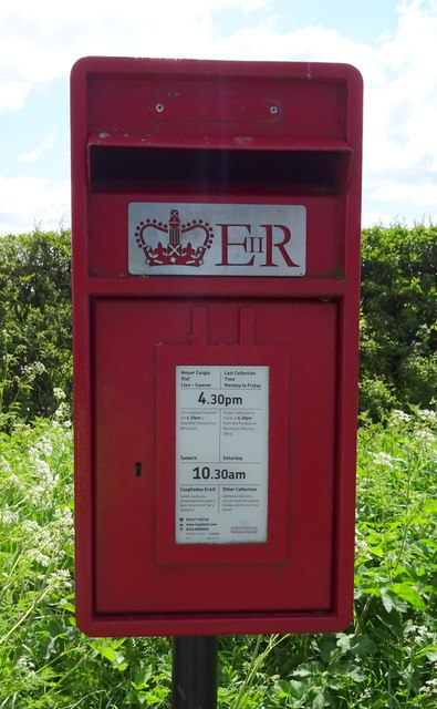
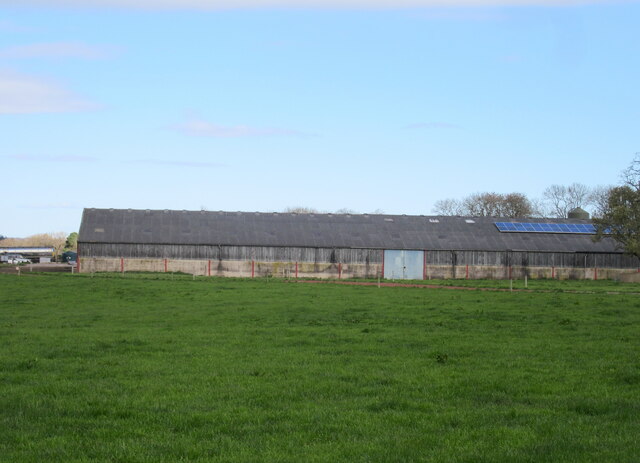
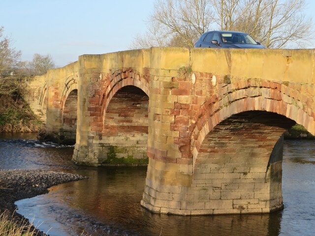
Toft's Dingle Images
Images are sourced within 2km of 52.991796/-2.8969809 or Grid Reference SJ3944. Thanks to Geograph Open Source API. All images are credited.
Toft's Dingle is located at Grid Ref: SJ3944 (Lat: 52.991796, Lng: -2.8969809)
Unitary Authority: Wrexham
Police Authority: North Wales
What 3 Words
///folders.worms.delivers. Near Overton, Wrexham
Nearby Locations
Related Wikis

Maelor
The Maelor is an area of north-east Wales along the border with England. It is now entirely part of Wrexham County Borough. The name Maelor is an old Welsh...
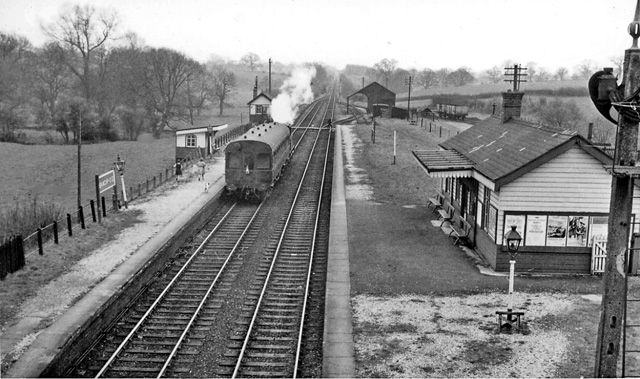
Bangor-on-Dee railway station
Bangor-on-Dee railway station was a station in Bangor-on-Dee, Wrexham, Wales. The station was opened on 2 November 1895 and closed on 10 September 1962...
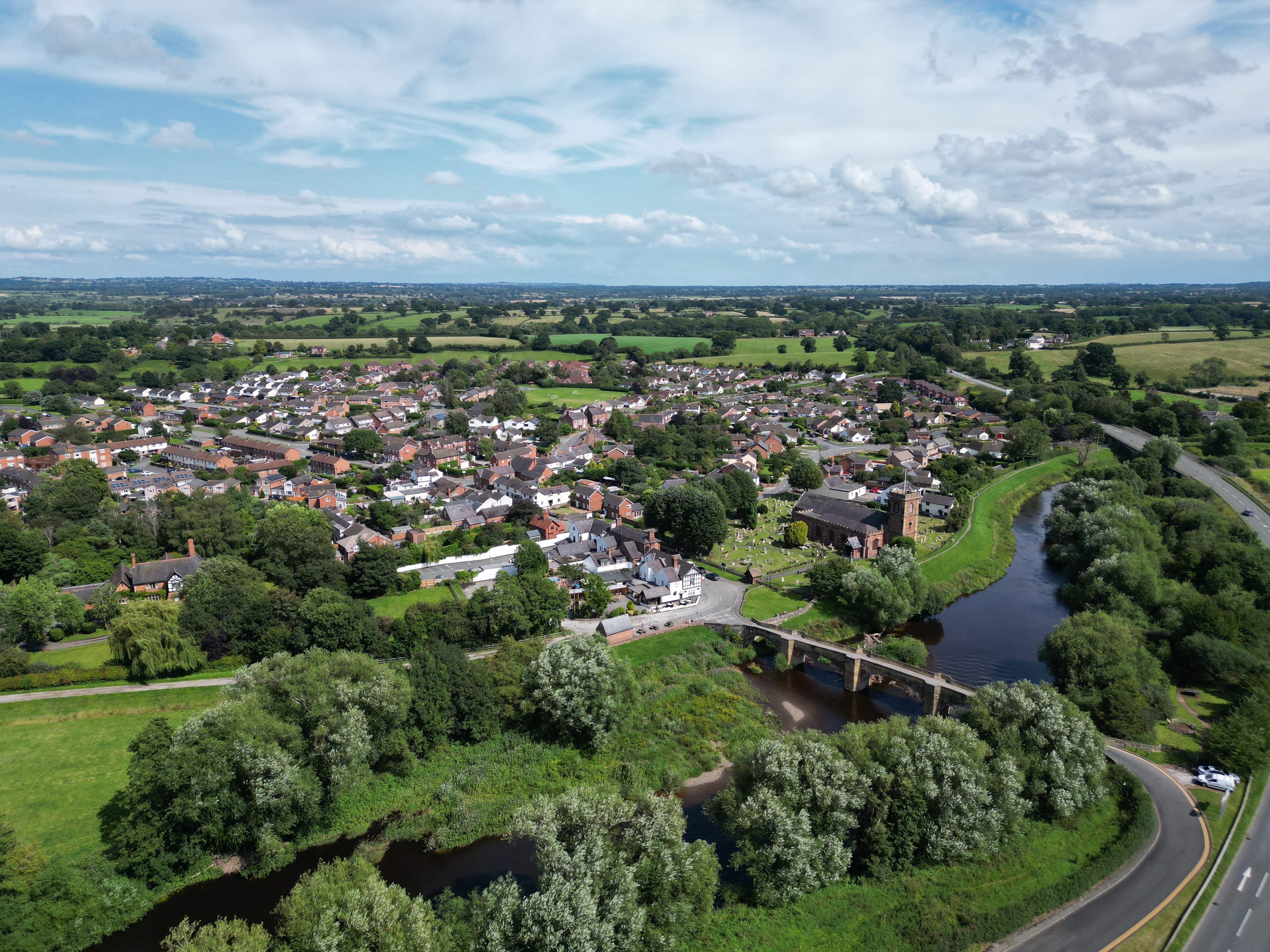
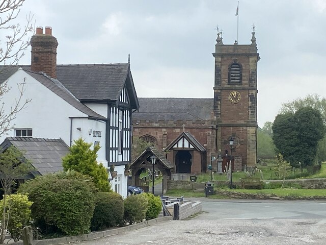
Bangor-on-Dee
Bangor-on-Dee (Welsh: Bangor-is-y-coed or standardised Bangor Is-coed) is a village and community in Wrexham County Borough, Wales, on the banks of the...

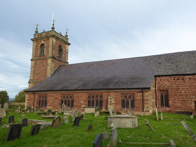
St Dunawd's Church
St Dunawd's Church, is in the village of Bangor-on-Dee, Wrexham County Borough, Wales. It is designated by Cadw as a Grade II* listed building. The church...

Bangor Bridge
Bangor Bridge (also known as the Bangor-on-Dee Bridge) is a Grade I listed bridge crossing the River Dee in Bangor-on-Dee, Wrexham County Borough, Wales...
Cloy Brook Pastures
Cloy Brook Pastures is a Site of Special Scientific Interest in the preserved county of Clwyd, north Wales. It is an area of wet pasture managed by grazing...

Bangor-on-Dee racecourse
Bangor-on-Dee Racecourse (Welsh: Cae Rasio Bangor-is-y-coed) is a thoroughbred horse racing venue located in Bangor-on-Dee near Wrexham, Wales, United...
Cloy Halt railway station
Cloy Halt railway station was a station to the east of Overton-on-Dee, Wrexham, Wales. The station was opened on 30 June 1932 and closed on 10 September...
Nearby Amenities
Located within 500m of 52.991796,-2.8969809Have you been to Toft's Dingle?
Leave your review of Toft's Dingle below (or comments, questions and feedback).