Toft's Rough
Wood, Forest in Flintshire
Wales
Toft's Rough
The requested URL returned error: 429 Too Many Requests
If you have any feedback on the listing, please let us know in the comments section below.
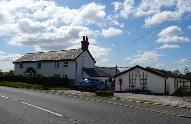
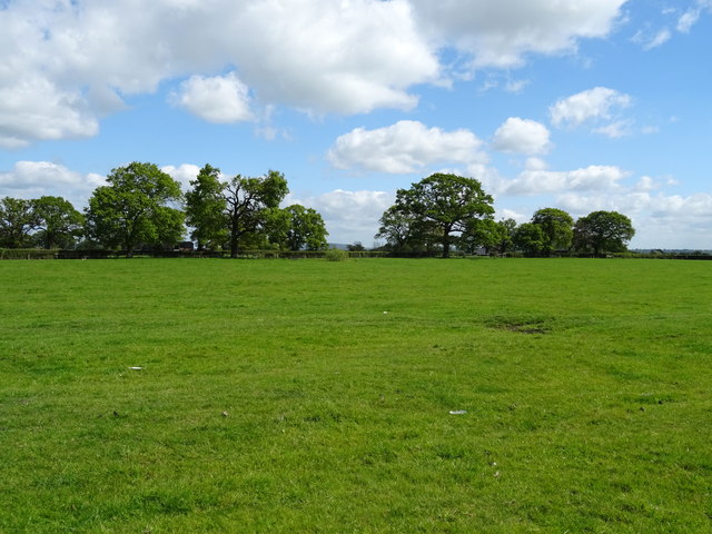
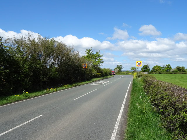
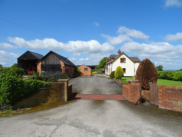
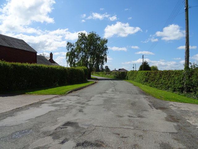
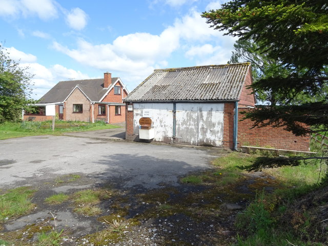
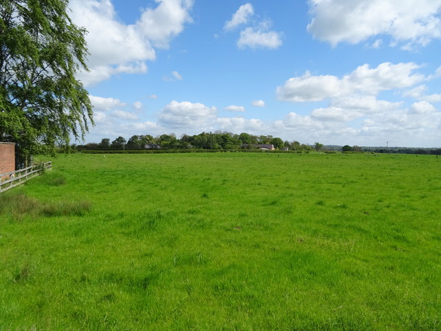
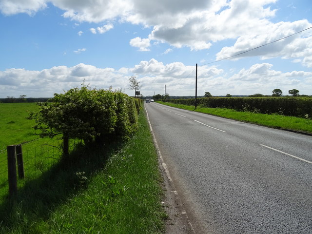
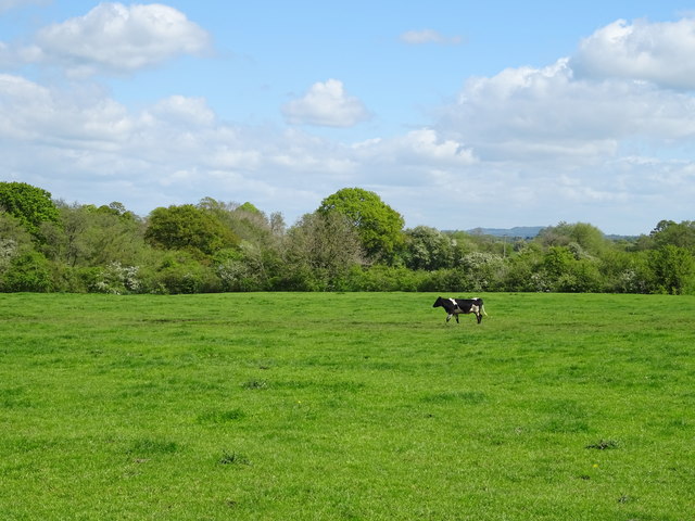
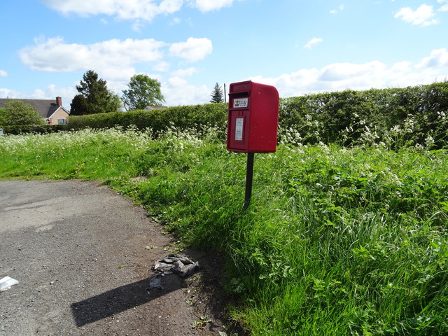
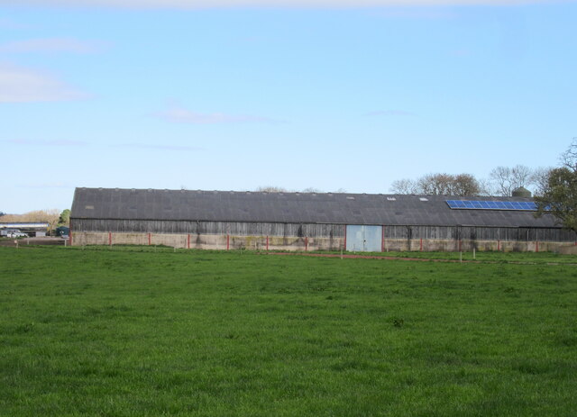
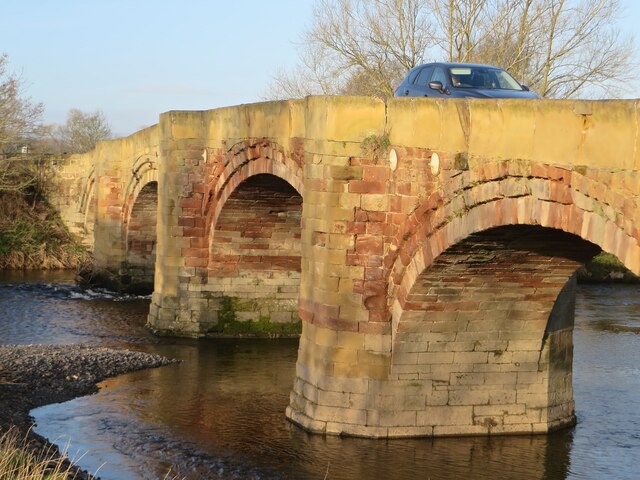
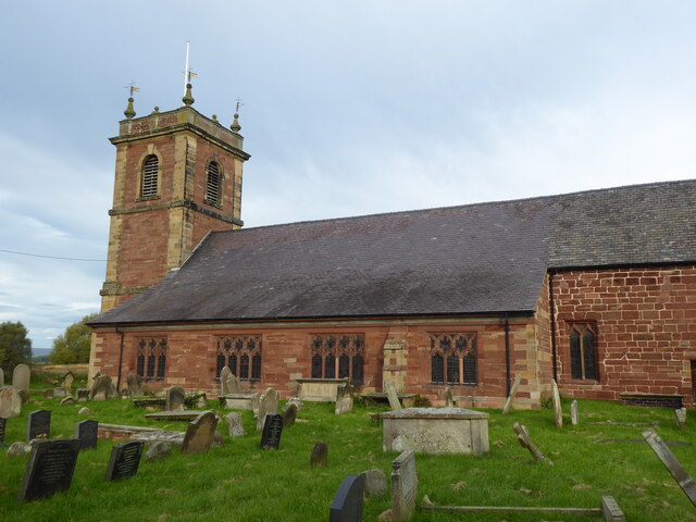
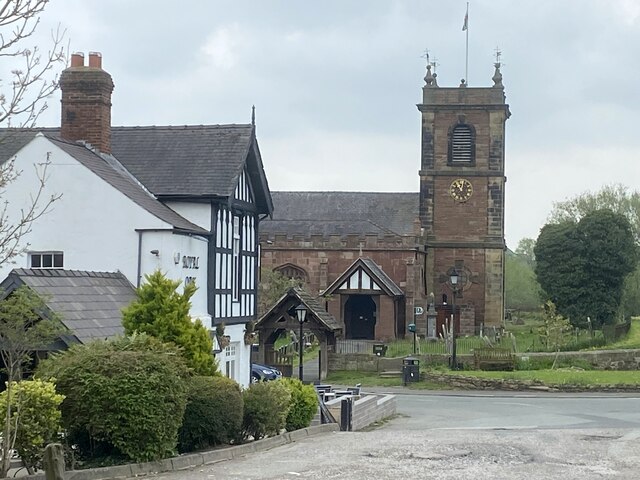
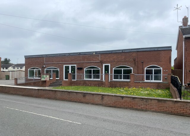
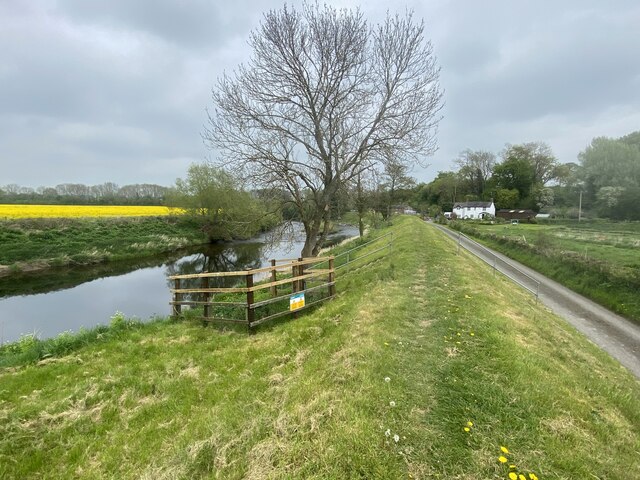
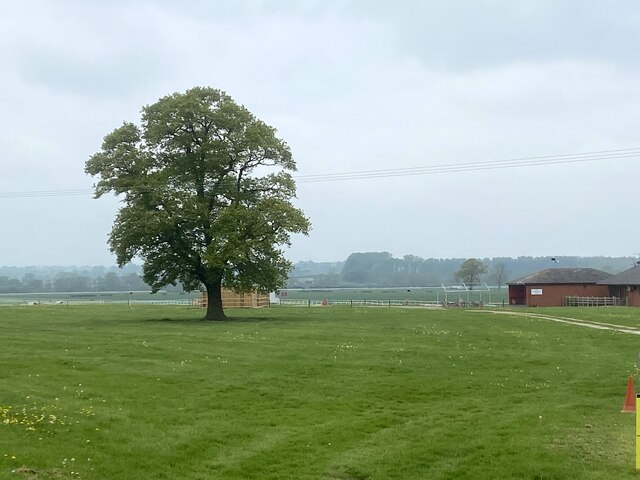
Toft's Rough Images
Images are sourced within 2km of 52.991604/-2.8962022 or Grid Reference SJ3944. Thanks to Geograph Open Source API. All images are credited.
Toft's Rough is located at Grid Ref: SJ3944 (Lat: 52.991604, Lng: -2.8962022)
Unitary Authority: Wrexham
Police Authority: North Wales
What 3 Words
///hazy.distorts.blackmail. Near Overton, Wrexham
Nearby Locations
Related Wikis

Maelor
The Maelor is an area of north-east Wales along the border with England. It is now entirely part of Wrexham County Borough. The name Maelor is an old Welsh...
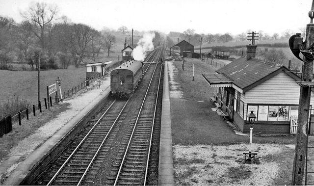
Bangor-on-Dee railway station
Bangor-on-Dee railway station was a station in Bangor-on-Dee, Wrexham, Wales. The station was opened on 2 November 1895 and closed on 10 September 1962...
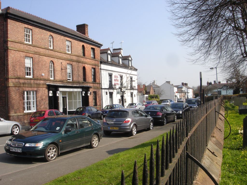
Bangor-on-Dee
Bangor-on-Dee (Welsh: Bangor-is-y-coed or standardised Bangor Is-coed) is a village and community in Wrexham County Borough, Wales, on the banks of the...

St Dunawd's Church
St Dunawd's Church, is in the village of Bangor-on-Dee, Wrexham County Borough, Wales. It is designated by Cadw as a Grade II* listed building. The church...
Nearby Amenities
Located within 500m of 52.991604,-2.8962022Have you been to Toft's Rough?
Leave your review of Toft's Rough below (or comments, questions and feedback).