Yorkley Slade

Settlement in Gloucestershire Forest of Dean

England

Yorkley Slade

Sheep at Moseley Green Sheep taking advantage of the shade at Moseley Green.
Sheep at Moseley Green Credit: Philip Halling

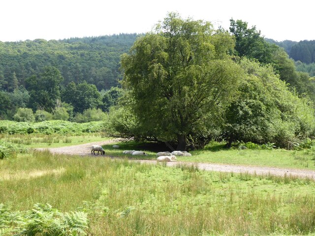
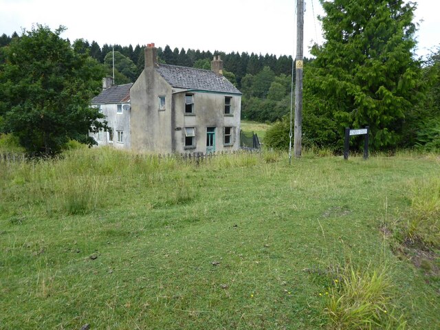
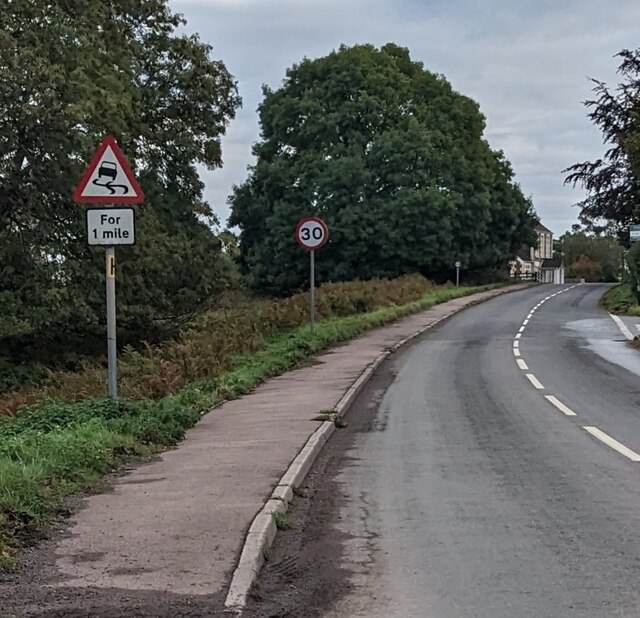
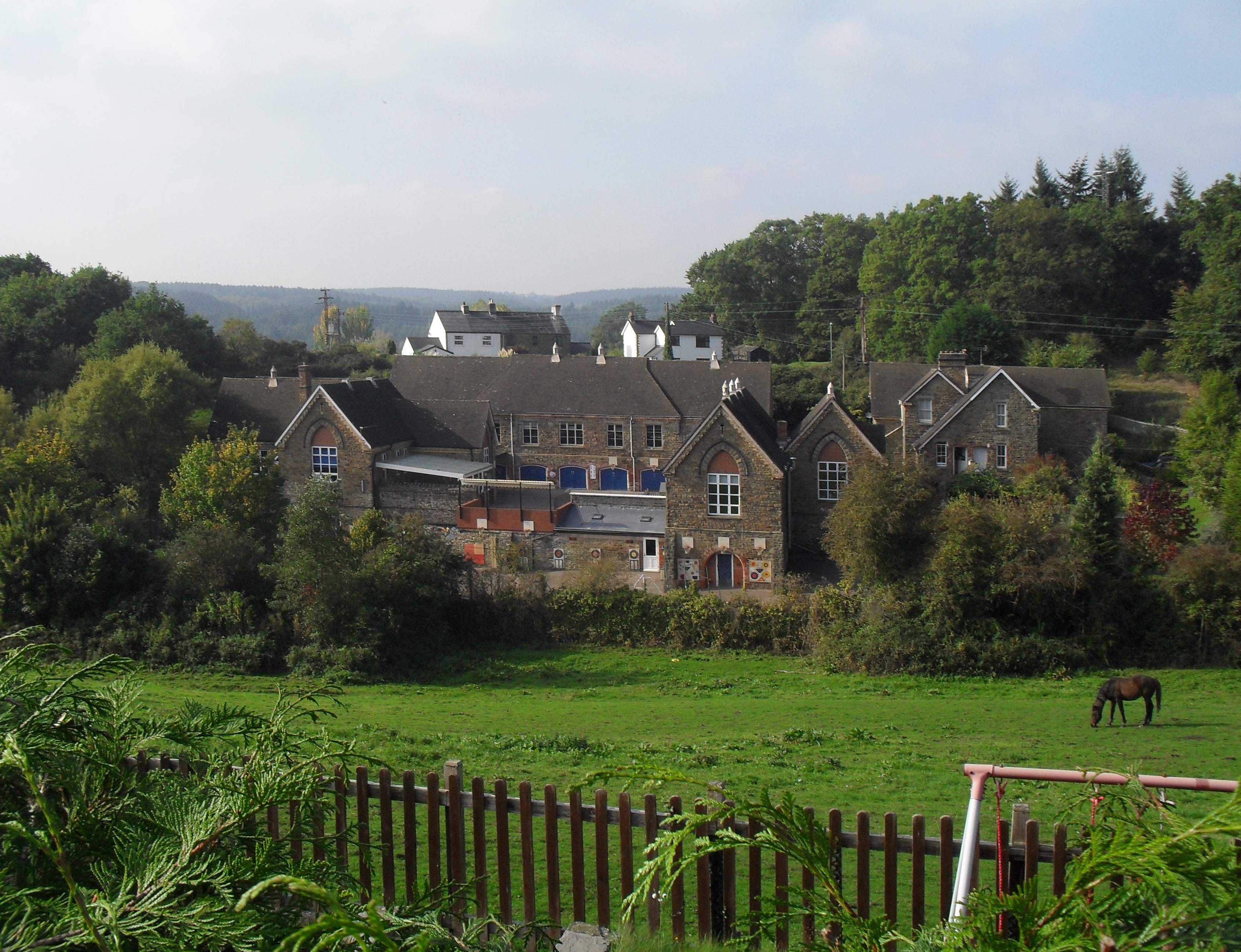
Yorkley Slade is a small village located in the Forest of Dean district of Gloucestershire, England. Situated in the western part of the county, it lies approximately 3 miles south of the town of Lydney. The village is nestled amidst picturesque countryside, surrounded by rolling hills and dense woodlands.

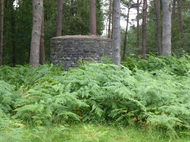
Historically, Yorkley Slade was primarily an agricultural community, with farming playing a significant role in its economy. Over time, the village has seen some industrial development, particularly in the coal mining industry during the 19th and early 20th centuries. However, the closure of the local colliery in the 1960s led to a decline in mining-related activities.

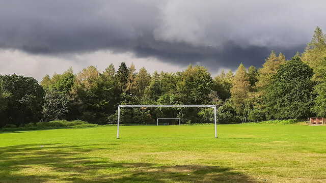
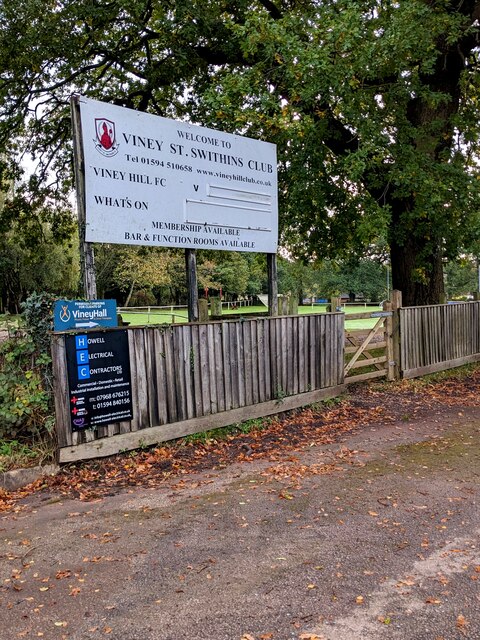
Today, Yorkley Slade retains its rural charm and tranquility, with a population of around 1,500 residents. The village offers a range of amenities to cater to the needs of its inhabitants, including a primary school, a post office, a community center, and several local shops and pubs. Additionally, the surrounding natural beauty of the Forest of Dean provides ample opportunities for outdoor activities such as hiking, cycling, and wildlife spotting.

The community in Yorkley Slade is known for its strong sense of unity and pride in their village. Residents often participate in local events and initiatives, fostering a vibrant community spirit. Furthermore, the village benefits from its proximity to nearby towns and cities, with excellent transportation links connecting it to larger urban centers.

In summary, Yorkley Slade is a picturesque village in Gloucestershire, boasting a rich history, stunning natural surroundings, and a close-knit community.

If you have any feedback on the listing, please let us know in the comments section below.

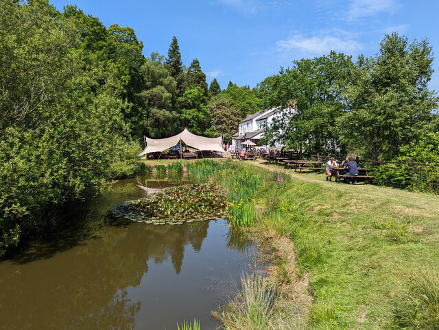
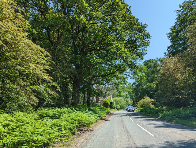
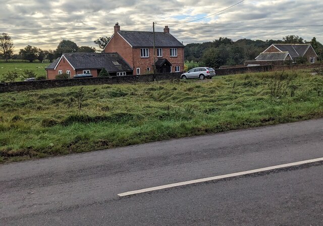
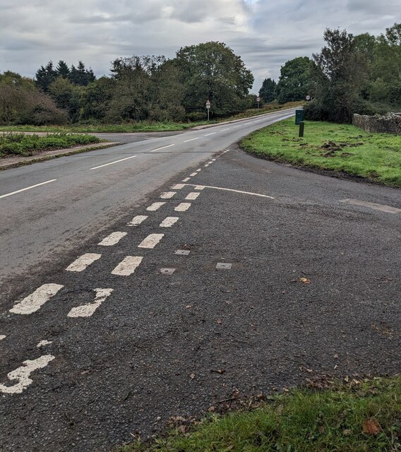
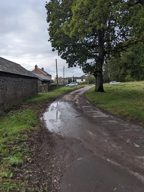
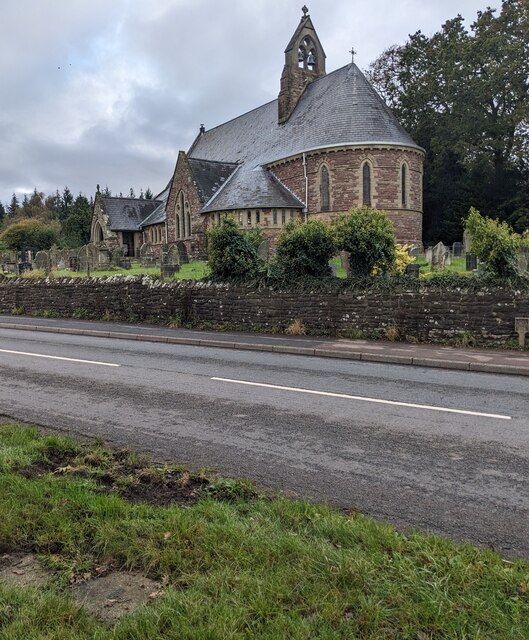
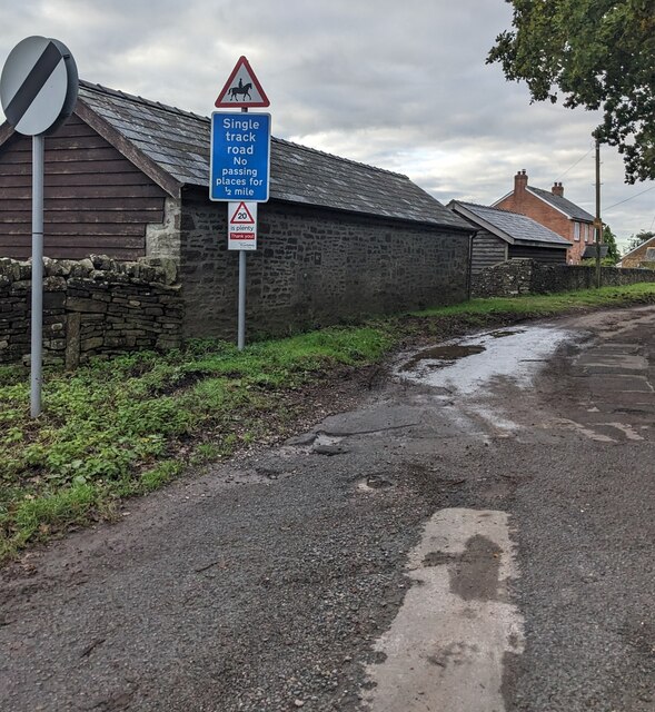
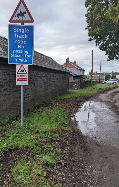
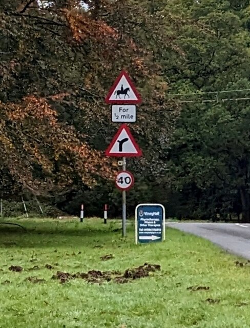
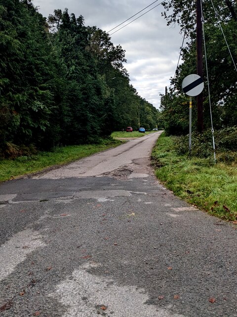
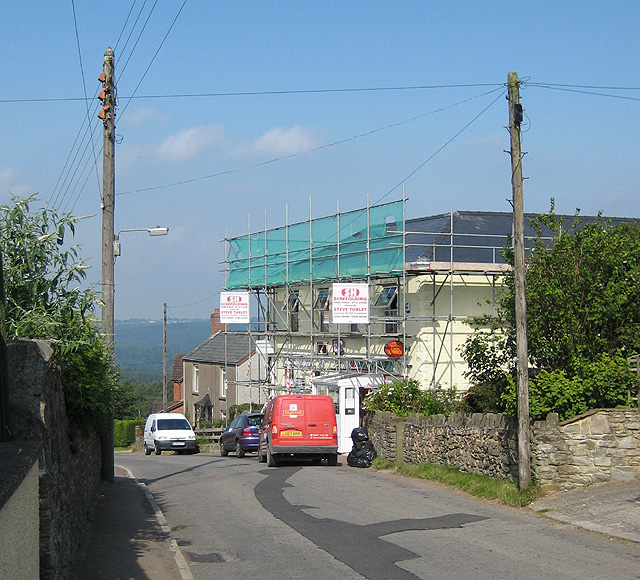
Yorkley Slade Images

Images are sourced within 2km of 51.762068/-2.5204428 or Grid Reference SO6407. Thanks to Geograph Open Source API. All images are credited.

Sheep at Moseley Green Sheep taking advantage of the shade at Moseley Green.
Sheep at Moseley Green
Sheep taking advantage of the shade at Moseley Green.
Dilapidated cottage Dilapidated cottage at Moseley Green.
Dilapidated cottage
Dilapidated cottage at Moseley Green.
Air shaft Air shaft on a tunnel on the former Severn and Wye Railway.
Air shaft
Air shaft on a tunnel on the former Severn and Wye Railway.
Yorkley Recreation Ground The football pitch was created by miners on land donated by the Forestry authorities in the early 20th century.
We are about to have a summer deluge.
Yorkley Recreation Ground
The football pitch was created by miners on land donated by the Forestry authorities in the early 20th century. We are about to have a summer deluge.
Pond by Rising Sun pub, Moseley Green A pleasant spot on a very warm June day, with swallows and dragonflies zooming around.
Pond by Rising Sun pub, Moseley Green
A pleasant spot on a very warm June day, with swallows and dragonflies zooming around.
Road heading south towards Yorkley From Parkend.
Road heading south towards Yorkley
From Parkend.
Viney Hill houses, Gloucestershire Set back from the south side of Main Road in Viney Hill.
Viney Hill houses, Gloucestershire
Set back from the south side of Main Road in Viney Hill.
Junction in Viney Hill, Gloucestershire From the right, Church Walk joins Main Road.
Junction in Viney Hill, Gloucestershire
From the right, Church Walk joins Main Road.
Church Walk, Viney Hill, Gloucestershire The Main Road junction <a title="https://www.geograph.org.uk/photo/7631305" href="https://www.geograph.org.uk/photo/7631305">Link</a> is behind the camera.
Church Walk, Viney Hill, Gloucestershire
The Main Road junction Link is behind the camera.
Grade II Listed church, Viney Hill, Gloucestershire All Saints Church in the Church of England Diocese of Gloucester dates from 1866.
Viewed across Main Road in Viney Hill.
Grade II Listed church, Viney Hill, Gloucestershire
All Saints Church in the Church of England Diocese of Gloucester dates from 1866. Viewed across Main Road in Viney Hill.
National Speed Limit sign, Church Walk, Viney Hill, Gloucestershire The 40mph speed limit on Main Road increases to the National Speed Limit.
National Speed Limit sign, Church Walk, Viney Hill, Gloucestershire
The 40mph speed limit on Main Road increases to the National Speed Limit.
Three signs alongside Church Walk, Viney Hill, Gloucestershire A triangular sign warning of horse riders is above a rectangular sign showing
"Single track road - No passing places for ½ mile"
The non-standard sign shows "20 is plenty - Thank you!"
Three signs alongside Church Walk, Viney Hill, Gloucestershire
A triangular sign warning of horse riders is above a rectangular sign showing "Single track road - No passing places for ½ mile" The non-standard sign shows "20 is plenty - Thank you!"
Warning sign - skid risk for 1 mile, Viney Hill, Gloucestershire The sign faces eastbound traffic on Main Road.
Nearby, the 40mph speed limit drops to 30mph.
Warning sign - skid risk for 1 mile, Viney Hill, Gloucestershire
The sign faces eastbound traffic on Main Road. Nearby, the 40mph speed limit drops to 30mph.
Shades of green, Viney Hill, Gloucestershire A dark green cabinet is on grass on the south side of Main Road.
Shades of green, Viney Hill, Gloucestershire
A dark green cabinet is on grass on the south side of Main Road.
Welcome to Viney St Swithins Club, Viney Hill, Gloucestershire Set back from the south side of Main Road on the approach 
to the home ground of Viney St Swithins FC (Football Club).
Welcome to Viney St Swithins Club, Viney Hill, Gloucestershire
Set back from the south side of Main Road on the approach to the home ground of Viney St Swithins FC (Football Club).
Towards the home ground of Viney St Swithins FC, Gloucestershire Set back from the south side of Main Road, Viney Hill in the Forest of Dean District. 
The football team plays in the Gloucestershire Northern Senior League.
Towards the home ground of Viney St Swithins FC, Gloucestershire
Set back from the south side of Main Road, Viney Hill in the Forest of Dean District. The football team plays in the Gloucestershire Northern Senior League.
Road signs, Viney Hill, Gloucestershire Facing westbound traffic on Main Road in Viney Hill.
Road signs, Viney Hill, Gloucestershire
Facing westbound traffic on Main Road in Viney Hill.
St Swithins Road, Viney Hill, Gloucestershire Viewed from Main Road, where the 40mph speed limit 
increases to the National Speed Limit ahead.
St Swithins Road, Viney Hill, Gloucestershire
Viewed from Main Road, where the 40mph speed limit increases to the National Speed Limit ahead.
Show me another place!

Yorkley Slade is located at Grid Ref: SO6407 (Lat: 51.762068, Lng: -2.5204428)

Administrative County: Gloucestershire

District: Forest of Dean

Police Authority: Gloucestershire

What 3 Words

///bumps.equity.drew. Near Lydney, Gloucestershire

Related Wikis

Yorkley

Yorkley is a village in west Gloucestershire, England. The village includes the settlement of Yorkley Slade to the east. Yorkley is situated between the...

Oakenhill Railway Cutting

Oakenhill Railway Cutting (grid reference SO630069) is a 0.81-hectare (2.0-acre) geological Site of Special Scientific Interest in Gloucestershire, notified...

Oldcroft

Oldcroft is a hamlet in Gloucestershire, England. The village of Yorkley is to the northwest, and the hamlet of Viney Hill is to the northeast. == History... ==

Pillowell

Pillowell is a small English village in Gloucestershire, on the south-eastern edge of the Forest of Dean. Once a mining village, much of it now lies in...

Meezy Hurst

Meezy Hurst (SO638089 to SO647091) is a 4.3-hectare (11-acre) geological Site of Special Scientific Interest in Gloucestershire, notified in 1986.The site...

Brain's Green

Brain's Green is a hamlet in Gloucestershire, England. == References ==

Dean Forest Railway

The Dean Forest Railway is a 4+1⁄4-mile (6.8 km) long heritage railway that runs between Lydney and Parkend in the Forest of Dean, Gloucestershire. The...

Whitecroft

Whitecroft is a village in the Forest of Dean in west Gloucestershire, England. It is located in-between Bream and Yorkley. Whitecroft comes under the...

Nearby Amenities

Located within 500m of 51.762068,-2.5204428
Yorkley Slade
Is In: Gloucestershire, England, UK
Place: hamlet
Source: NPE
Lat/Long: 51.7610699/-2.5197246
Bus Stop
Oldcroft Rd
Naptan AtcoCode: 1600GL5445
Naptan Bearing: W
Naptan CommonName: Oldcroft Rd
Naptan NaptanCode: gloajawm
Naptan Street: Bailey Hill
Naptan Verified: no
Source: naptan_import
Lat/Long: 51.7602992/-2.5199483
Bus Stop
Oldcroft Rd
Naptan AtcoCode: 1600GL5446
Naptan Bearing: E
Naptan CommonName: Oldcroft Rd
Naptan Indicator: Opp
Naptan NaptanCode: gloajawj
Naptan Street: Bailey Hill
Naptan Verified: no
Source: naptan_import
Lat/Long: 51.7603531/-2.5199634
Bus Stop
Bailey Inn
Naptan AtcoCode: 1600GL5447
Naptan Bearing: N
Naptan CommonName: Bailey Inn
Naptan NaptanCode: gloagwpj
Naptan Street: Yorkley Ln
Naptan Verified: no
Source: naptan_import
Lat/Long: 51.7608687/-2.5273446
Bus Stop
Bailey Inn
Naptan AtcoCode: 1600GL5448
Naptan Bearing: S
Naptan CommonName: Bailey Inn
Naptan Indicator: Opp
Naptan NaptanCode: gloagwpw
Naptan Street: Yorkley Ln
Naptan Verified: no
Source: naptan_import
Lat/Long: 51.7608601/-2.5272575
Bus Stop
Bailey Inn
Naptan AtcoCode: 1600GL5451
Naptan Bearing: W
Naptan CommonName: Bailey Inn
Naptan NaptanCode: gloagwta
Naptan Street: Bailey Hill
Naptan Verified: no
Source: naptan_import
Lat/Long: 51.760916/-2.5268235
Bus Stop
Bailey Inn
Naptan AtcoCode: 1600GL5452
Naptan Bearing: E
Naptan CommonName: Bailey Inn
Naptan Indicator: Opp
Naptan NaptanCode: gloajawg
Naptan Street: Bailey Hill
Naptan Verified: no
Source: naptan_import
Lat/Long: 51.7610241/-2.5267668
Bus Stop
Harold Rd
Naptan AtcoCode: 1600GL5456
Naptan Bearing: W
Naptan CommonName: Harold Rd
Naptan NaptanCode: gloajatm
Naptan Street: Severn View Rd
Naptan Verified: no
Source: naptan_import
Lat/Long: 51.761134/-2.5202622
Bus Stop
Yorkley Health Centre
Naptan AtcoCode: 1600GLF379
Naptan Bearing: W
Naptan CommonName: Yorkley Health Centre
Naptan Indicator: Opp
Naptan NaptanCode: gloajaja
Naptan Street: Bailey Hill
Naptan Verified: no
Source: naptan_import
Lat/Long: 51.7604774/-2.5243697
Bus Stop
Yorkley Health Centre
Naptan AtcoCode: 1600GLF380
Naptan Bearing: E
Naptan CommonName: Yorkley Health Centre
Naptan NaptanCode: gloajagp
Naptan Street: Bailey Hill
Naptan Verified: no
Source: naptan_import
Lat/Long: 51.760611/-2.5246465
Bus Stop
Slade Rd
Naptan AtcoCode: 1600GLF855
Naptan Bearing: W
Naptan CommonName: Slade Rd
Naptan NaptanCode: glogjwpw
Naptan Street: Severn View Rd
Naptan Verified: no
Source: naptan_import
Lat/Long: 51.7611233/-2.5226674
Bus Stop
Slade Rd
Naptan AtcoCode: 1600GLF856
Naptan Bearing: E
Naptan CommonName: Slade Rd
Naptan NaptanCode: glogjwta
Naptan Street: Severn View Rd
Naptan Verified: no
Source: naptan_import
Lat/Long: 51.7612132/-2.5226829
Pub
Lat/Long: 51.7610171/-2.5274245
Power: pole
Lat/Long: 51.7595729/-2.5244764
Power: pole
Lat/Long: 51.7583792/-2.5225237
Power: pole
Lat/Long: 51.7576437/-2.5213945
Parking
Lat/Long: 51.7589061/-2.5159791
Parking
Lat/Long: 51.7587997/-2.5160986
Leisure: sports_centre
Lat/Long: 51.7587077/-2.5162502
Barrier: stile
Lat/Long: 51.7584914/-2.5210778
Power: pole
Lat/Long: 51.7600992/-2.5152254
Power: pole
Lat/Long: 51.7608795/-2.515904
Power: pole
Lat/Long: 51.7616149/-2.5165343
Power: pole
Lat/Long: 51.7623204/-2.5171673
Power: pole
Lat/Long: 51.7630924/-2.517693
Power: pole
Lat/Long: 51.7638568/-2.5182389
Power: pole
Lat/Long: 51.7644229/-2.5189765
Power: pole
Lat/Long: 51.7664082/-2.5204034
Power: pole
Lat/Long: 51.7662837/-2.5205737
Power: pole
Lat/Long: 51.7657525/-2.5212255
Power: pole
Lat/Long: 51.7651923/-2.5195196
Power: pole
Lat/Long: 51.7658887/-2.5200681
Post Box
Operator: Royal Mail
Post Box Type: lamp
Ref: GL15 5D
Royal Cypher: EIIR
Royal Cypher Wikidata: Q33102113
Lat/Long: 51.7621461/-2.5204289
Crossing
Lat/Long: 51.7662463/-2.520341
Barrier: stile
Lat/Long: 51.7616888/-2.5248789
Barrier: stile
Lat/Long: 51.7624574/-2.5255256
Barrier: stile
Lat/Long: 51.7621557/-2.5248967
The data included in this document is from www.openstreetmap.org. The data is made available under ODbL.

Have you been to Yorkley Slade?

Leave your review of Yorkley Slade below (or comments, questions and feedback).