Yorton
Settlement in Shropshire
England
Yorton

Yorton is a small village located in the county of Shropshire, England. Situated approximately 5 miles north of Shrewsbury, it falls within the civil parish of Shawbury. Yorton is a rural settlement with a population of around 200 residents.
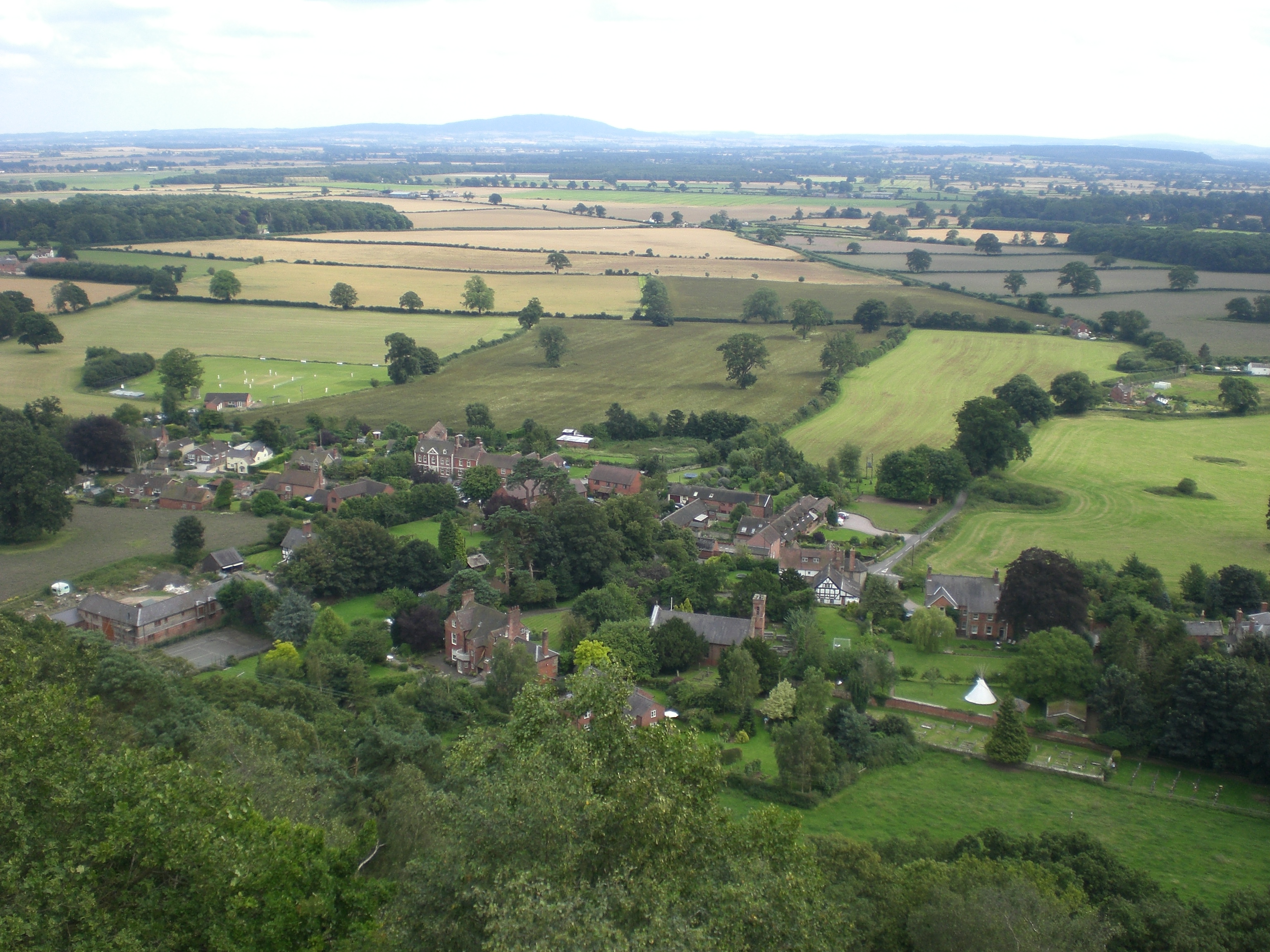
The village is known for its picturesque surroundings, nestled amidst the rolling hills and lush green countryside of Shropshire. It offers a peaceful and tranquil atmosphere, making it an ideal place for those seeking a quiet retreat or a break from the hustle and bustle of city life.
Yorton is predominantly a residential area, characterized by traditional stone-built houses and cottages. The village is well-connected to the nearby towns and cities, with good transportation links and easy access to major roads like the A53 and A49.
Despite its small size, Yorton boasts a strong sense of community. The village has a local pub, The Yorton and District Royal British Legion, which serves as a social hub for residents and visitors alike. Additionally, there is a primary school located in the neighboring village of Shawbury, catering to the educational needs of the local children.
For those interested in exploring the natural beauty of the area, Yorton offers ample opportunities for outdoor activities such as walking, cycling, and horse riding. The nearby Shropshire Hills and the River Severn provide stunning landscapes and scenic trails for nature enthusiasts to enjoy.
In conclusion, Yorton is a charming village in Shropshire, offering a peaceful and idyllic setting amidst the beautiful English countryside. With its strong community spirit and natural attractions, it is an appealing destination for those seeking a slower pace of life.
If you have any feedback on the listing, please let us know in the comments section below.
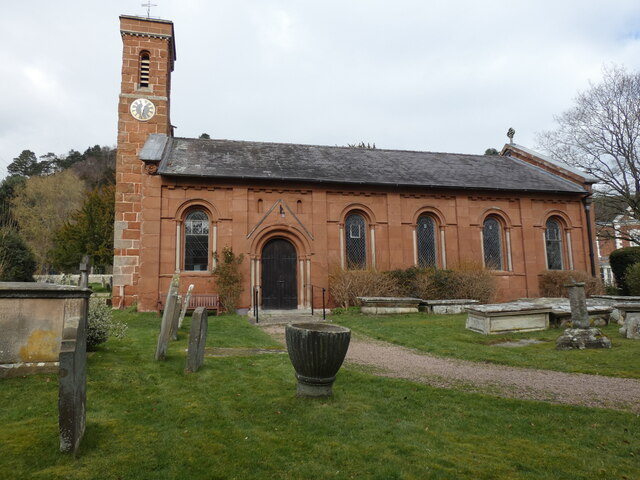
Yorton Images
Images are sourced within 2km of 52.809638/-2.7365765 or Grid Reference SJ5023. Thanks to Geograph Open Source API. All images are credited.


Yorton is located at Grid Ref: SJ5023 (Lat: 52.809638, Lng: -2.7365765)
Unitary Authority: Shropshire
Police Authority: West Mercia
What 3 Words
///trouble.tenders.eliminate. Near Clive, Shropshire
Nearby Locations
Related Wikis

Yorton
Yorton is a small village in Shropshire, England, north of the county town of Shrewsbury and south of the town of Wem. == Governance == Yorton is represented...

Yorton railway station
Yorton railway station serves the villages of Yorton and Clive in Shropshire, England. It is 7¼ miles (11.5 km) north of Shrewsbury on the Welsh Marches...

Alderton, Shropshire
Alderton is a village in Shropshire, England. == See also == Listed buildings in Myddle and Broughton == External links == Media related to Alderton,...

Clive, Shropshire
Clive is a village and civil parish in Shropshire, England, United Kingdom. Clive is situated around the west side of Grinshill Hill. Grinshill sandstone...

Corbet Wood and Grinshill
Corbet Wood Countryside Heritage Site and Grinshill Site is a mixture of a woodland and quarrying site in Shropshire. It has been designated a SSSI due...
Grinshill
Grinshill is a small village, and civil parish in Shropshire, England, United Kingdom. The parish is one of the smallest in the district. The population...

Harmer Hill
Harmer Hill is a village in Shropshire, England located on the A528 south of Wem and north of Shrewsbury. The name Harmer comes from the two words "hare...

Acton Reynald Hall
Acton Reynald Hall is a 19th-century country house at Acton Reynald, Moreton Corbet, Shropshire, England. It is a Grade II* listed building.The Corbet...
Nearby Amenities
Located within 500m of 52.809638,-2.7365765Have you been to Yorton?
Leave your review of Yorton below (or comments, questions and feedback).