Yorkley
Settlement in Gloucestershire Forest of Dean
England
Yorkley
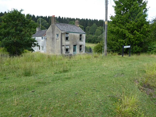
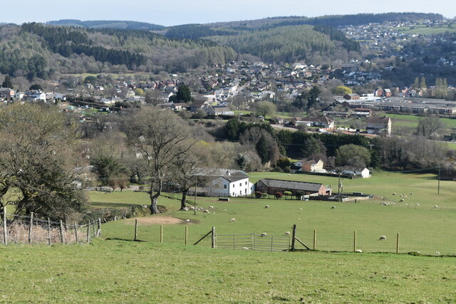
Yorkley is a small village located in the beautiful county of Gloucestershire, England. Situated in the Forest of Dean district, it lies approximately 4 miles southwest of the town of Lydney. The village is surrounded by lush greenery and offers a tranquil and picturesque setting.
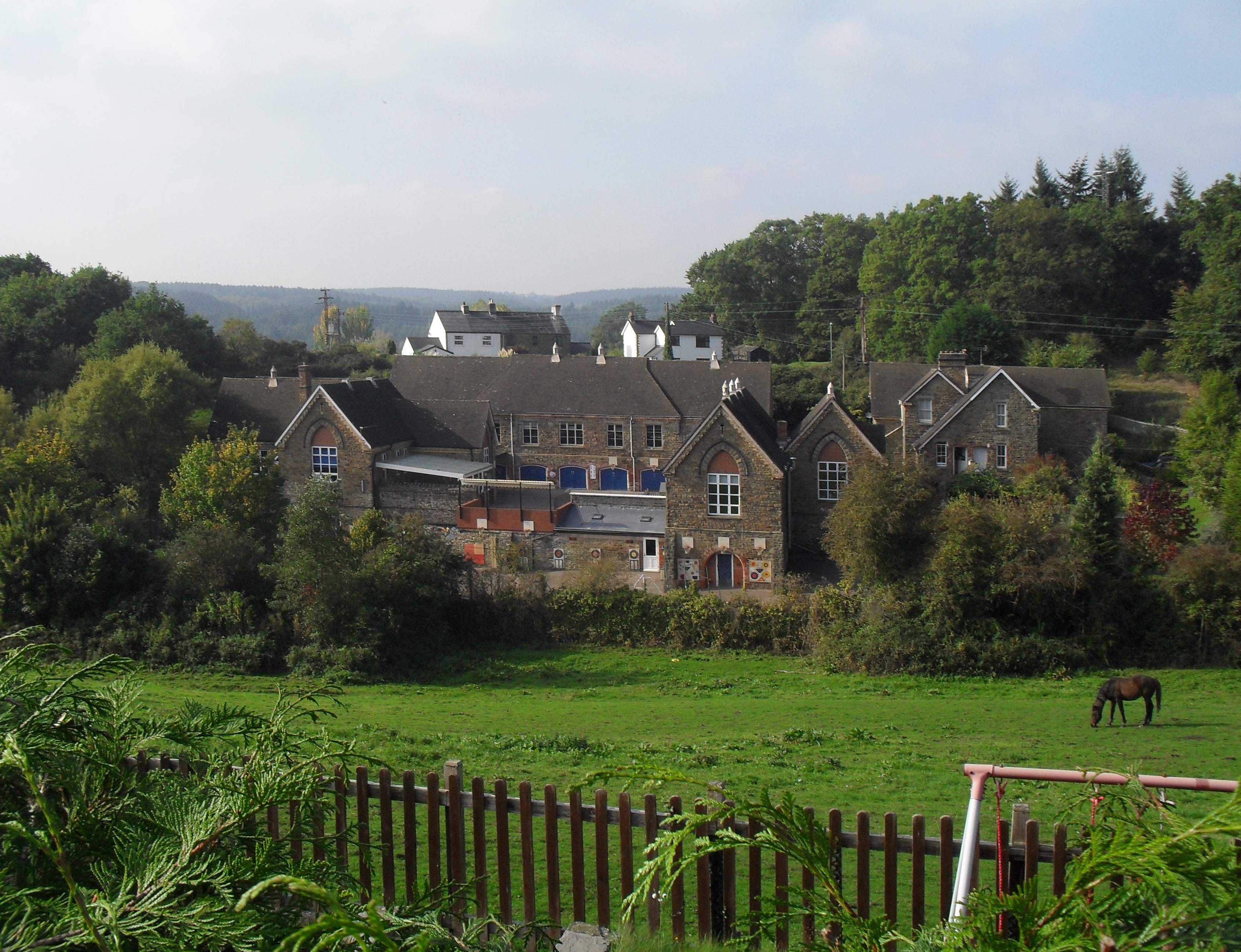
The origins of Yorkley can be traced back to the 19th century when it was primarily a mining community. The village thrived due to the coal mines in the area, attracting workers and their families. However, the decline of the coal industry in the mid-20th century led to the closure of the mines, and the village transitioned into a more residential area.
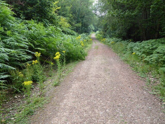
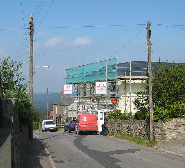
Today, Yorkley is known for its tight-knit community and friendly atmosphere. The village boasts a range of amenities, including a primary school, a community hall, a post office, and a local convenience store. Residents can also enjoy the natural beauty of the surrounding forest, which offers opportunities for walking, cycling, and exploring the great outdoors.
The village is well-connected to the nearby towns and cities, with regular bus services and easy access to major road networks. Additionally, the nearby Lydney railway station provides further transport links for those looking to explore the wider area.
With its rich history and stunning surroundings, Yorkley offers a peaceful and idyllic place to live or visit in the heart of Gloucestershire.
If you have any feedback on the listing, please let us know in the comments section below.
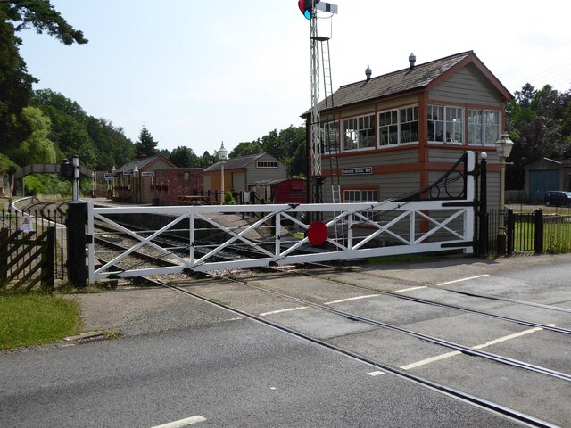
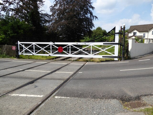
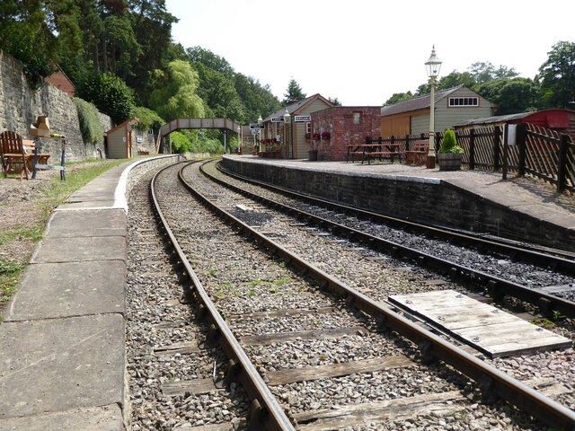
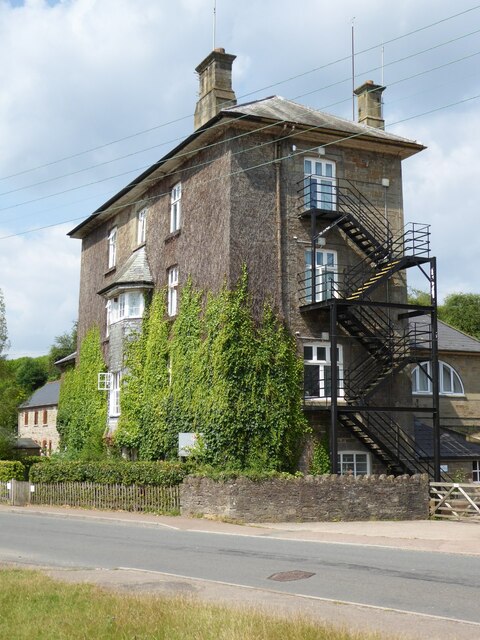
Yorkley Images
Images are sourced within 2km of 51.757165/-2.5370331 or Grid Reference SO6306. Thanks to Geograph Open Source API. All images are credited.

Yorkley is located at Grid Ref: SO6306 (Lat: 51.757165, Lng: -2.5370331)
Administrative County: Gloucestershire
District: Forest of Dean
Police Authority: Gloucestershire
What 3 Words
///remembers.owned.morphing. Near Bream, Gloucestershire
Nearby Locations
Related Wikis

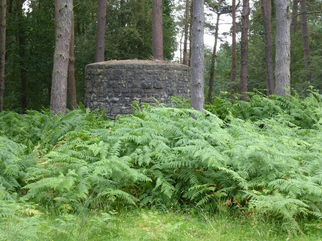
Oakenhill Railway Cutting
Oakenhill Railway Cutting (grid reference SO630069) is a 0.81-hectare (2.0-acre) geological Site of Special Scientific Interest in Gloucestershire, notified...
Pillowell
Pillowell is a small English village in Gloucestershire, on the south-eastern edge of the Forest of Dean. Once a mining village, much of it now lies in...
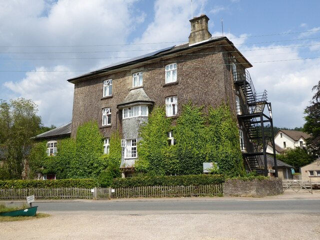
Yorkley
Yorkley is a village in west Gloucestershire, England. The village includes the settlement of Yorkley Slade to the east. Yorkley is situated between the...

Whitecroft
Whitecroft is a village in the Forest of Dean in west Gloucestershire, England. It is located in-between Bream and Yorkley. Whitecroft comes under the...

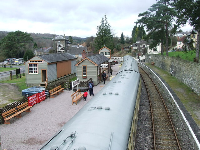
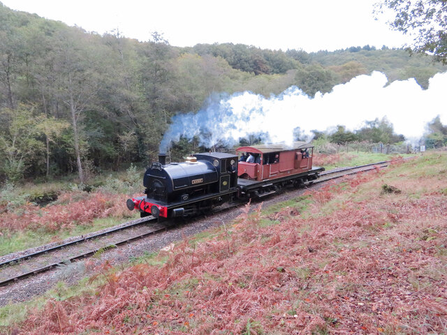
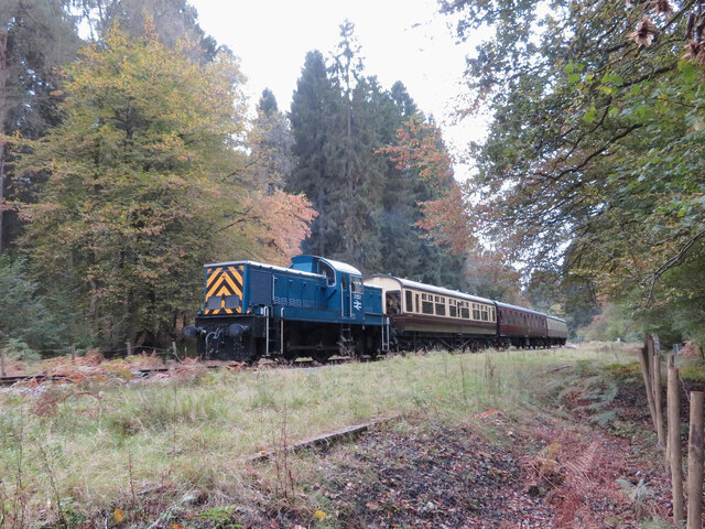
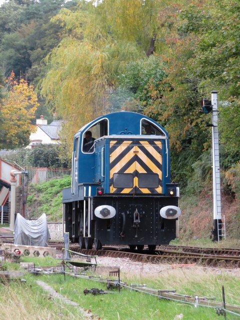
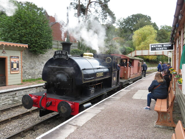
Dean Forest Railway
The Dean Forest Railway is a 4+1⁄4-mile (6.8 km) long heritage railway that runs between Lydney and Parkend in the Forest of Dean, Gloucestershire. The...

Whitecroft railway station
Whitecroft & Bream railway station is a railway station on the Dean Forest Railway. == History == The station originally opened on 23 September 1875, and...

Parkend railway station
Parkend railway station is located in the village of Parkend, in the Forest of Dean, Gloucestershire. It is currently the northern terminus of the Dean...

Parkend
Parkend is a village, located at the foot of the Cannop Valley, in the Royal Forest of Dean, West Gloucestershire, England, and has a history dating back...
Related Videos

Dog walking around Mallards Pike Lake
Dog walking around Mallards Pike Lake in the Forest of Dean, Glos. Music: Smile Quiet Looking Up ...

TRY IT! Series. Knees hurt walking down hill?
Try It! Series of short videos giving tips to help you: Move Well - Feel Well - Live Well!

Whitemead Forest Park, Forest of Dean
Greenspan Projects were selected by Whitemead Forest Park to create a stunning 12-hole woodland themed adventure golf ...

Treadmill Workout Scenery | Mallards Pike parkrun | Virtual Run / Walk ASMR | Forest of Dean
Racing scenic wooded forest countryside virtual run / gimbal walking tour with natural sounds (ASMR) at Millards Pike parkrun in ...
Nearby Amenities
Located within 500m of 51.757165,-2.5370331Have you been to Yorkley?
Leave your review of Yorkley below (or comments, questions and feedback).