Cinderford Slade

Wood, Forest in Gloucestershire Forest of Dean

England

Cinderford Slade

Mallards Pike Lake The origin of the named Mallards Pike is the former turn pike toll road and nothing to do with a duck (mallard) or fish (pike).  Mallard comes from a Mr Maller, who lived until the early 1950s in a toll keeper's cottage. Maller's Turnpike eventually became Mallard's Pike.
Mallards Pike Lake Credit: Philip Halling

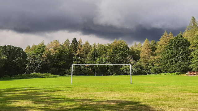
Cinderford Slade, located in the county of Gloucestershire, England, is a picturesque woodland area nestled within the enchanting Forest of Dean. Spanning approximately 200 acres, this idyllic destination is renowned for its natural beauty and rich history.

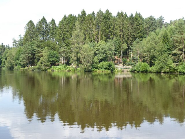
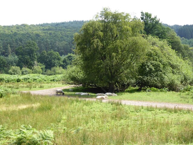
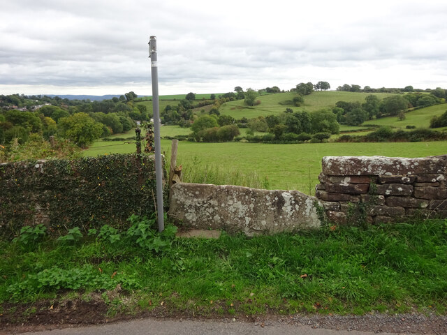
The forested landscape of Cinderford Slade is dominated by a diverse range of indigenous trees, including oak, beech, and birch, which create a lush canopy overhead. The forest floor is adorned with a tapestry of vibrant flora, such as bluebells, primroses, and wild garlic, adding a burst of color to the surroundings. The area is also home to a variety of wildlife, including deer, foxes, and an array of bird species, making it a haven for nature enthusiasts and birdwatchers.

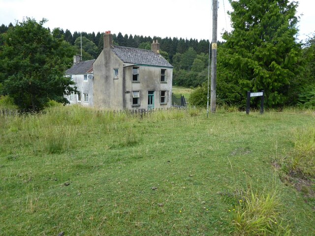
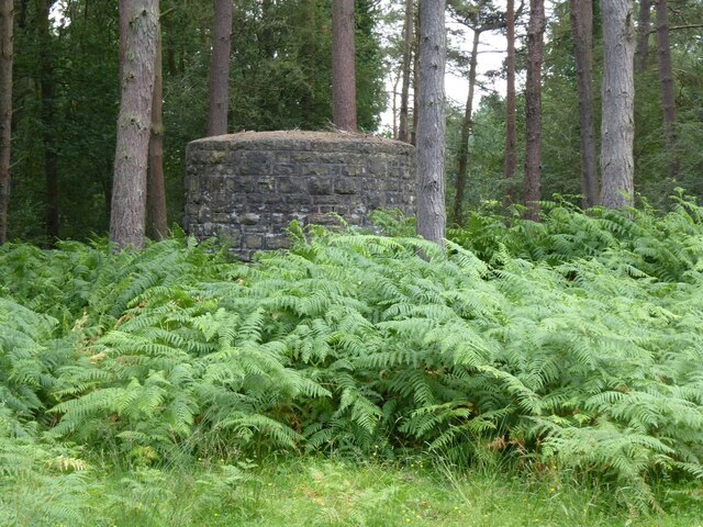
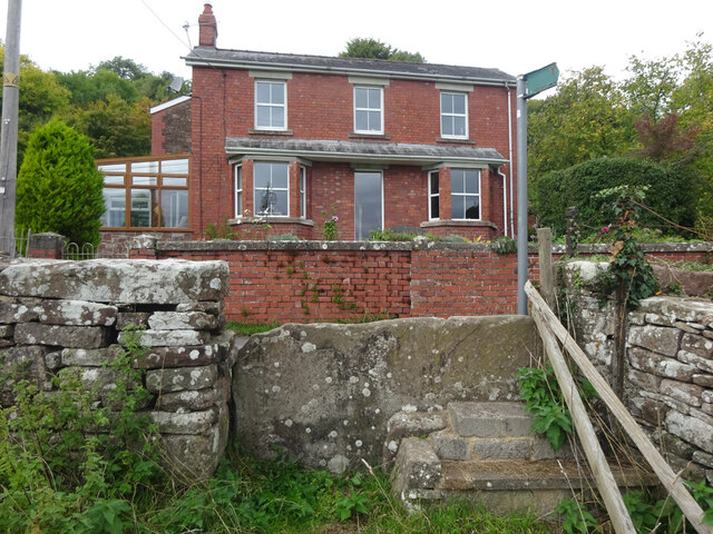
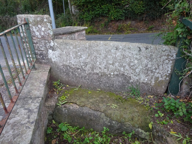
Steeped in history, Cinderford Slade has played a significant role in the local community over the years. It was once a hub for coal mining during the Industrial Revolution, with evidence of its mining heritage still visible in the form of old mine shafts and remnants of mining structures. Visitors can explore these remnants and gain insight into the area's industrial past.

For outdoor enthusiasts, Cinderford Slade offers a network of walking trails, allowing visitors to immerse themselves in the tranquil surroundings and discover the hidden gems within the forest. The trails cater to all levels of fitness, ranging from easy strolls to more challenging hikes. There are also designated picnic areas and viewpoints that offer breathtaking vistas of the forest.

Overall, Cinderford Slade is a captivating woodland destination that seamlessly blends natural beauty with historical significance, making it a must-visit location for those seeking a peaceful escape in the heart of Gloucestershire's Forest of Dean.

If you have any feedback on the listing, please let us know in the comments section below.

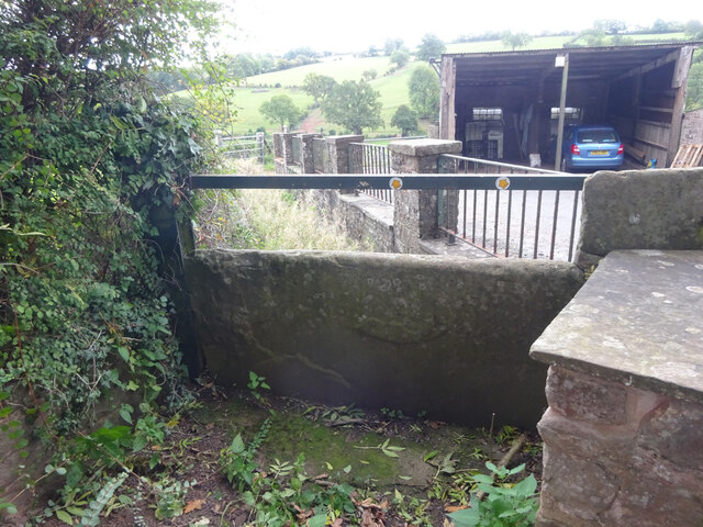
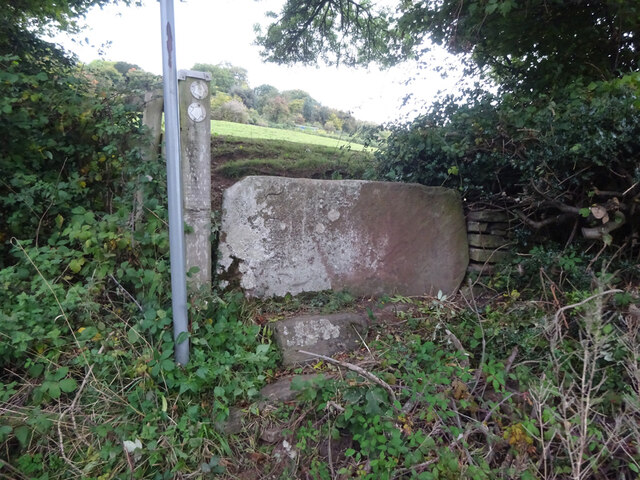
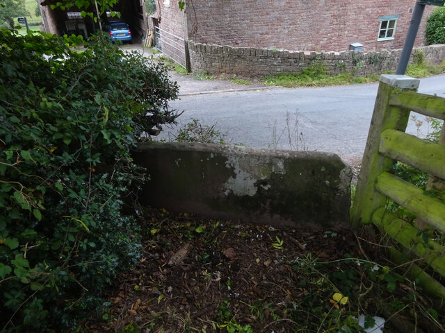
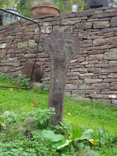
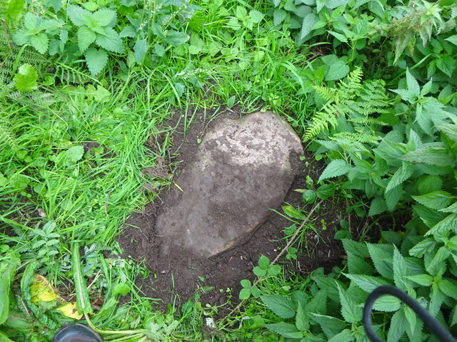
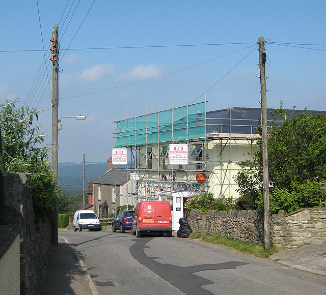
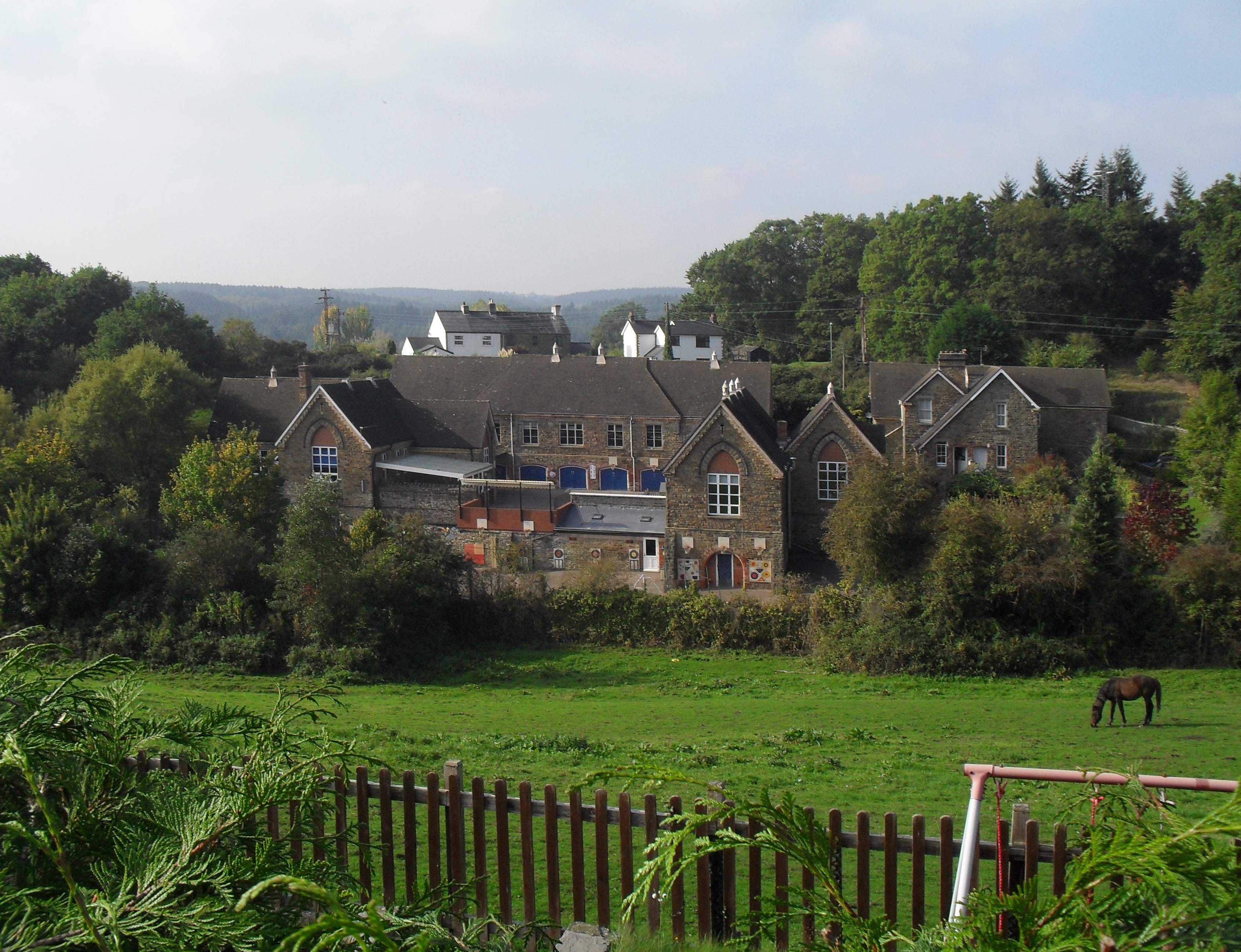
Cinderford Slade Images

Images are sourced within 2km of 51.769005/-2.511132 or Grid Reference SO6407. Thanks to Geograph Open Source API. All images are credited.

Mallards Pike Lake The origin of the named Mallards Pike is the former turn pike toll road and nothing to do with a duck (mallard) or fish (pike).  Mallard comes from a Mr Maller, who lived until the early 1950s in a toll keeper's cottage. Maller's Turnpike eventually became Mallard's Pike.
Mallards Pike Lake
The origin of the named Mallards Pike is the former turn pike toll road and nothing to do with a duck (mallard) or fish (pike). Mallard comes from a Mr Maller, who lived until the early 1950s in a toll keeper's cottage. Maller's Turnpike eventually became Mallard's Pike.
Mallards Pike The origin of the named Mallards Pike is the former turn pike toll road and nothing to do with a duck (mallard) or fish (pike).  Mallard comes from a Mr Maller, who lived until the early 1950s in a toll keeper's cottage. Maller's Turnpike eventually became Mallard's Pike.
Mallards Pike
The origin of the named Mallards Pike is the former turn pike toll road and nothing to do with a duck (mallard) or fish (pike). Mallard comes from a Mr Maller, who lived until the early 1950s in a toll keeper's cottage. Maller's Turnpike eventually became Mallard's Pike.
Sheep at Moseley Green Sheep taking advantage of the shade at Moseley Green.
Sheep at Moseley Green
Sheep taking advantage of the shade at Moseley Green.
Dilapidated cottage Dilapidated cottage at Moseley Green.
Dilapidated cottage
Dilapidated cottage at Moseley Green.
Air shaft Air shaft on a tunnel on the former Severn and Wye Railway.
Air shaft
Air shaft on a tunnel on the former Severn and Wye Railway.
Yorkley Recreation Ground The football pitch was created by miners on land donated by the Forestry authorities in the early 20th century.
We are about to have a summer deluge.
Yorkley Recreation Ground
The football pitch was created by miners on land donated by the Forestry authorities in the early 20th century. We are about to have a summer deluge.
Stone Stile, Blakeney On Gloucestershire footpath DAW63, off Pollards Lane looking from the road.
The view looking West is <a href="https://www.geograph.org.uk/photo/7301675">SO6606 : Stone Stile, Blakeney</a>.
Stone Stile, Blakeney
On Gloucestershire footpath DAW63, off Pollards Lane looking from the road. The view looking West is SO6606 : Stone Stile, Blakeney.
Stone Stile, Blakeney On Gloucestershire footpath DAW63, off Pollards Lane looking towards the road. The view looking East is <a href="https://www.geograph.org.uk/photo/7301674">SO6606 : Stone Stile, Blakeney</a>.
Stone Stile, Blakeney
On Gloucestershire footpath DAW63, off Pollards Lane looking towards the road. The view looking East is SO6606 : Stone Stile, Blakeney.
Stone Stile, Blakeney Hill On Gloucestershire footpath DAW37 at Hewell's Farm, Cinderford Road. This looks West to road, the view East is <a href="https://www.geograph.org.uk/photo/7301708">SO6607 : Stone Stile, Blakeney Hill</a>.
Stone Stile, Blakeney Hill
On Gloucestershire footpath DAW37 at Hewell's Farm, Cinderford Road. This looks West to road, the view East is SO6607 : Stone Stile, Blakeney Hill.
Stone Stile, Blakeney Hill On Gloucestershire footpath DAW37 at Hewell's Farm, Cinderford Road. This looks East, the view to the road is <a href="https://www.geograph.org.uk/photo/7301707">SO6607 : Stone Stile, Blakeney Hill</a>.
Stone Stile, Blakeney Hill
On Gloucestershire footpath DAW37 at Hewell's Farm, Cinderford Road. This looks East, the view to the road is SO6607 : Stone Stile, Blakeney Hill.
Stone Stile, Blakeney Hill On Gloucestershire footpaths DAW38 & DAW39 from Cinderford Road opposite Hewell's Farm looking from the road. The view looking to the road is <a href="https://www.geograph.org.uk/photo/7301717">SO6607 : Stone Stile, Blakeney Hill</a>.
Stone Stile, Blakeney Hill
On Gloucestershire footpaths DAW38 & DAW39 from Cinderford Road opposite Hewell's Farm looking from the road. The view looking to the road is SO6607 : Stone Stile, Blakeney Hill.
Stone Stile, Blakeney Hill On Gloucestershire footpaths DAW38 & DAW39 from Cinderford Road, looking towards Hewell's Farm. The view from the road is <a href="https://www.geograph.org.uk/photo/7301715">SO6607 : Stone Stile, Blakeney Hill</a>.
Stone Stile, Blakeney Hill
On Gloucestershire footpaths DAW38 & DAW39 from Cinderford Road, looking towards Hewell's Farm. The view from the road is SO6607 : Stone Stile, Blakeney Hill.
Railway Boundary Marker, Blakeney At No. 1 Prospect Cottage, Blakeney Hill. A genuine Midland Railway boundary post, out of place. The owner had moved it from the front garden. There is no close railway track, the Forest of Dean Railway became GWR by 1900, and that is 350 yds at its closest point. This was purely a decoration.
Railway Boundary Marker, Blakeney
At No. 1 Prospect Cottage, Blakeney Hill. A genuine Midland Railway boundary post, out of place. The owner had moved it from the front garden. There is no close railway track, the Forest of Dean Railway became GWR by 1900, and that is 350 yds at its closest point. This was purely a decoration.
Boundary Stone, Loiterpin, Forest of Dean Blakeney Hill, on the Eastern side of the road in the verge. Though lain and broken, it was in the exact location (1 m) of that predicted, and it has the same rounded top as many of the similar older boundary stones in the "Forest".

Milestone Society National ID: GL_DFAWRE13aem
Boundary Stone, Loiterpin, Forest of Dean
Blakeney Hill, on the Eastern side of the road in the verge. Though lain and broken, it was in the exact location (1 m) of that predicted, and it has the same rounded top as many of the similar older boundary stones in the "Forest". Milestone Society National ID: GL_DFAWRE13aem
Modern Boundary Stone, Loiterpin, Blakeney Hill On the roadside at the entrance to a property.

Inscription: D. F. / Nᴼ. 15 / 2005

Milestone Society National ID: GL_DFAWRE15em
Modern Boundary Stone, Loiterpin, Blakeney Hill
On the roadside at the entrance to a property. Inscription: D. F. / Nᴼ. 15 / 2005 Milestone Society National ID: GL_DFAWRE15em
Boundary Stone, Loiterpin, Blakeney Hill In the Eastern bank of Loiterpin.

Inscription: (D. F) / Nᴼ. 17 / (1)832

Milestone Society National ID: GL_DFAWRE17em
Boundary Stone, Loiterpin, Blakeney Hill
In the Eastern bank of Loiterpin. Inscription: (D. F) / Nᴼ. 17 / (1)832 Milestone Society National ID: GL_DFAWRE17em
Boundary Stone, Pollard's Lane, Blakeney Actually in the parish of Awre. In a private garden. By kind permission of the owner who thought they were gravestones until quite recently when they were photographed for a book. One of two in the same garden see <a href="https://www.geograph.org.uk/photo/7302619">SO6606 : Boundary Marker, Pollard's Lane, Blakeney</a>.

Inscription: D. F. / Nᴼ. 22 / 1832

Milestone Society National ID: GL_DFAWRE22em
Boundary Stone, Pollard's Lane, Blakeney
Actually in the parish of Awre. In a private garden. By kind permission of the owner who thought they were gravestones until quite recently when they were photographed for a book. One of two in the same garden see SO6606 : Boundary Marker, Pollard's Lane, Blakeney. Inscription: D. F. / Nᴼ. 22 / 1832 Milestone Society National ID: GL_DFAWRE22em
Boundary Marker, Pollard's Lane, Blakeney Actually in the parish of Awre. In a private garden. By kind permission of the owner who thought they were gravestones until quite recently when they were photographed for a book. One of two in the same garden see <a href="https://www.geograph.org.uk/photo/7302611">SO6606 : Boundary Stone, Pollard's Lane, Blakeney</a>.

Inscription: D. F. / Nᴼ. 23 / 1832

Milestone Society National ID: GL_DFAWRE23em
Boundary Marker, Pollard's Lane, Blakeney
Actually in the parish of Awre. In a private garden. By kind permission of the owner who thought they were gravestones until quite recently when they were photographed for a book. One of two in the same garden see SO6606 : Boundary Stone, Pollard's Lane, Blakeney. Inscription: D. F. / Nᴼ. 23 / 1832 Milestone Society National ID: GL_DFAWRE23em
Show me another place!

Cinderford Slade is located at Grid Ref: SO6407 (Lat: 51.769005, Lng: -2.511132)

Administrative County: Gloucestershire

District: Forest of Dean

Police Authority: Gloucestershire

What 3 Words

///equity.shudders.imposes. Near Lydney, Gloucestershire

Related Wikis

Meezy Hurst

Meezy Hurst (SO638089 to SO647091) is a 4.3-hectare (11-acre) geological Site of Special Scientific Interest in Gloucestershire, notified in 1986.The site...

Yorkley

Yorkley is a village in west Gloucestershire, England. The village includes the settlement of Yorkley Slade to the east. Yorkley is situated between the...

Brain's Green

Brain's Green is a hamlet in Gloucestershire, England. == References ==

Oldcroft

Oldcroft is a hamlet in Gloucestershire, England. The village of Yorkley is to the northwest, and the hamlet of Viney Hill is to the northeast. == History... ==

Oakenhill Railway Cutting

Oakenhill Railway Cutting (grid reference SO630069) is a 0.81-hectare (2.0-acre) geological Site of Special Scientific Interest in Gloucestershire, notified...

Blakeney, Gloucestershire

Blakeney is a village in Gloucestershire, England. It in the parish of Awre and has views of the Forest of Dean. It was the site of a Roman villa, dating...

Pillowell

Pillowell is a small English village in Gloucestershire, on the south-eastern edge of the Forest of Dean. Once a mining village, much of it now lies in...

Clarke's Pool Meadow SSSI

Clarke's Pool Meadow (grid reference SO668061) is a 1.8-hectare (4.4-acre) biological Site of Special Scientific Interest in Gloucestershire, notified...

Nearby Amenities

Located within 500m of 51.769005,-2.511132
Danby Lodge
Man Made: works
Lat/Long: 51.7719092/-2.5145719
Power: pole
Lat/Long: 51.7701271/-2.5158007
Ford: yes
Lat/Long: 51.7648304/-2.5119457
The data included in this document is from www.openstreetmap.org. The data is made available under ODbL.

Have you been to Cinderford Slade?

Leave your review of Cinderford Slade below (or comments, questions and feedback).