Bailey Hill

Hill, Mountain in Gloucestershire Forest of Dean

England

Bailey Hill

Mallards Pike Lake The origin of the named Mallards Pike is the former turn pike toll road and nothing to do with a duck (mallard) or fish (pike).  Mallard comes from a Mr Maller, who lived until the early 1950s in a toll keeper's cottage. Maller's Turnpike eventually became Mallard's Pike.
Mallards Pike Lake Credit: Philip Halling

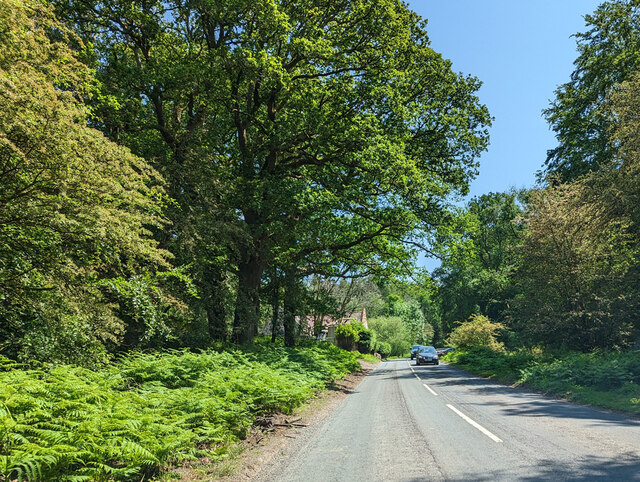
Bailey Hill, located in Gloucestershire, is a prominent hill formation offering picturesque landscapes and historical significance. Situated in the heart of the scenic Cotswold Area of Outstanding Natural Beauty, it is a popular destination for nature enthusiasts, hikers, and history buffs alike.

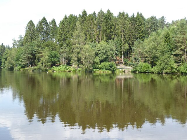
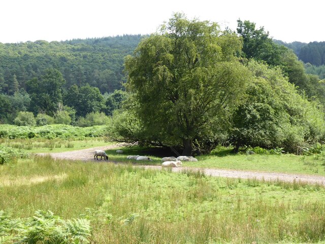
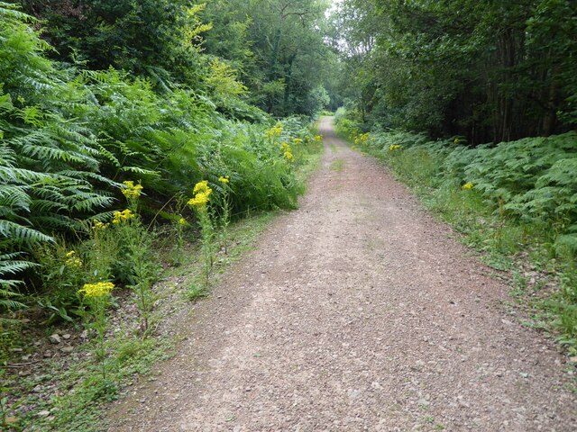
Standing at an elevation of approximately 115 meters, Bailey Hill offers breathtaking panoramic views of the surrounding countryside, dotted with rolling hills, lush green pastures, and quaint villages. The hill is covered in a diverse range of flora and fauna, including wildflowers, oak trees, and various bird species, making it a haven for wildlife.

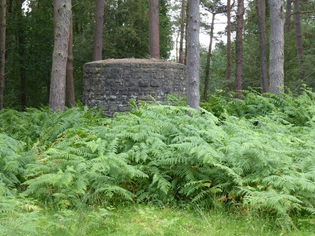
The hill also holds significant historical value, as it was once the site of a medieval castle, believed to have been built in the 11th century. The castle was constructed by the Normans as a defensive structure and played a pivotal role in the region's history. Although only remnants of the castle remain today, its presence adds an air of enchantment and intrigue to the hill.

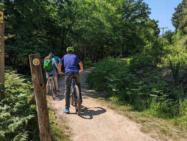
Bailey Hill offers several footpaths and trails for visitors to explore, allowing them to immerse themselves in the natural beauty of the area. The hill is easily accessible, with car parking facilities nearby, and is a popular spot for picnics, dog walking, and outdoor activities.

Overall, Bailey Hill in Gloucestershire stands as a testament to the region's rich history and natural splendor, providing visitors with a captivating blend of stunning vistas and cultural heritage.

If you have any feedback on the listing, please let us know in the comments section below.
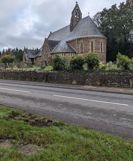
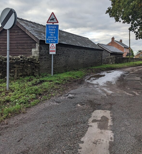
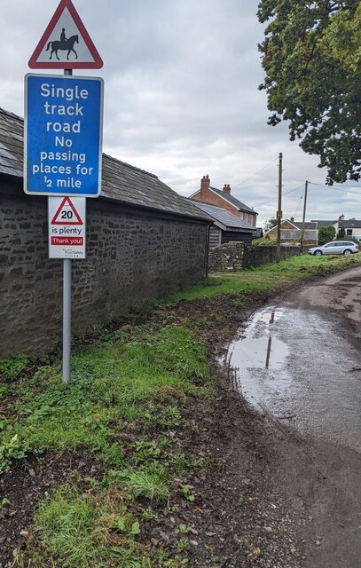
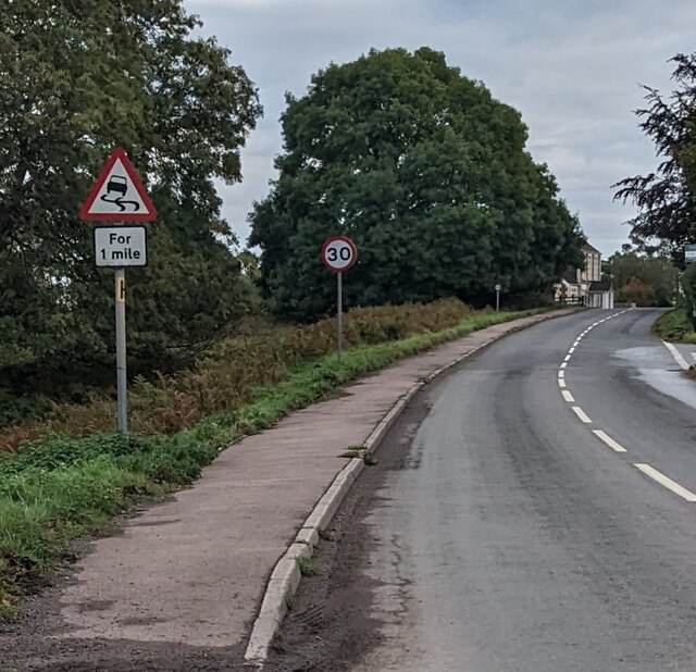
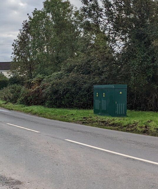
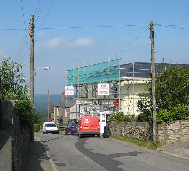
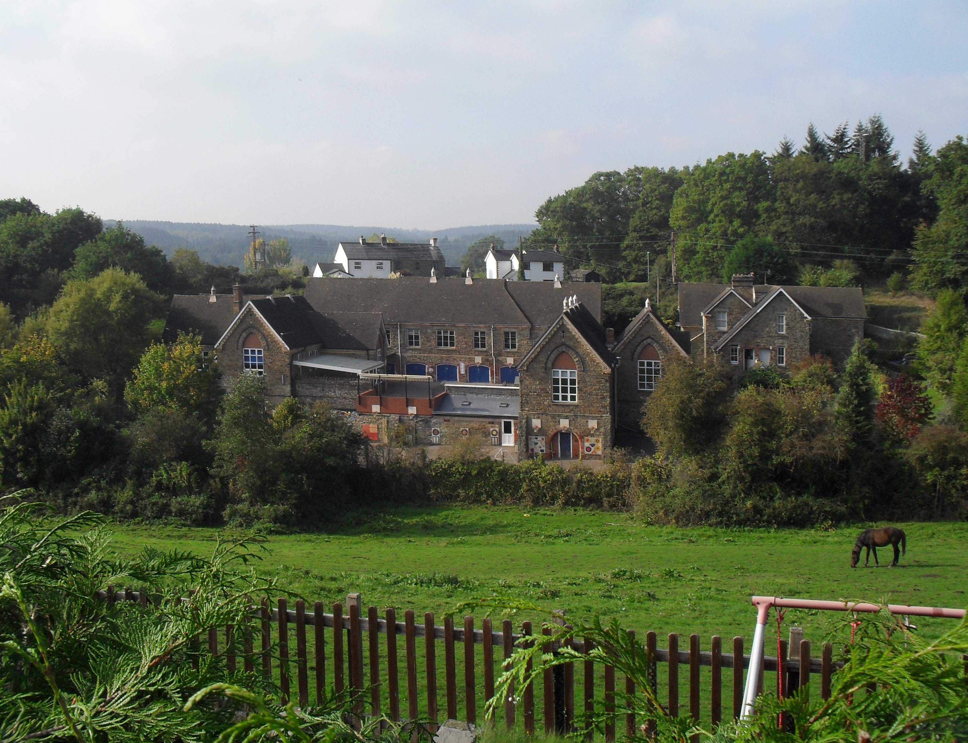
Bailey Hill Images

Images are sourced within 2km of 51.767511/-2.5216068 or Grid Reference SO6407. Thanks to Geograph Open Source API. All images are credited.

Mallards Pike Lake The origin of the named Mallards Pike is the former turn pike toll road and nothing to do with a duck (mallard) or fish (pike).  Mallard comes from a Mr Maller, who lived until the early 1950s in a toll keeper's cottage. Maller's Turnpike eventually became Mallard's Pike.
Mallards Pike Lake
The origin of the named Mallards Pike is the former turn pike toll road and nothing to do with a duck (mallard) or fish (pike). Mallard comes from a Mr Maller, who lived until the early 1950s in a toll keeper's cottage. Maller's Turnpike eventually became Mallard's Pike.
Mallards Pike The origin of the named Mallards Pike is the former turn pike toll road and nothing to do with a duck (mallard) or fish (pike).  Mallard comes from a Mr Maller, who lived until the early 1950s in a toll keeper's cottage. Maller's Turnpike eventually became Mallard's Pike.
Mallards Pike
The origin of the named Mallards Pike is the former turn pike toll road and nothing to do with a duck (mallard) or fish (pike). Mallard comes from a Mr Maller, who lived until the early 1950s in a toll keeper's cottage. Maller's Turnpike eventually became Mallard's Pike.
Sheep at Moseley Green Sheep taking advantage of the shade at Moseley Green.
Sheep at Moseley Green
Sheep taking advantage of the shade at Moseley Green.
Dilapidated cottage Dilapidated cottage at Moseley Green.
Dilapidated cottage
Dilapidated cottage at Moseley Green.
Air shaft Air shaft on a tunnel on the former Severn and Wye Railway.
Air shaft
Air shaft on a tunnel on the former Severn and Wye Railway.
Forest track Forest track near Parkend.
Forest track
Forest track near Parkend.
Yorkley Recreation Ground The football pitch was created by miners on land donated by the Forestry authorities in the early 20th century.
We are about to have a summer deluge.
Yorkley Recreation Ground
The football pitch was created by miners on land donated by the Forestry authorities in the early 20th century. We are about to have a summer deluge.
Pond by Rising Sun pub, Moseley Green A pleasant spot on a very warm June day, with swallows and dragonflies zooming around.
Pond by Rising Sun pub, Moseley Green
A pleasant spot on a very warm June day, with swallows and dragonflies zooming around.
Road heading south towards Yorkley From Parkend.
Road heading south towards Yorkley
From Parkend.
Family Cycle Trail, Forest of Dean The Cycle Trail follows the main line of Severn and Wye Railway to the site of Drybrook Road Junction and then the northern part of the Mineral Loop Line. This final part of the cycle loop leaves old railway routes and is largely downhill. The indication left is for another path, one of many in the forest.
Family Cycle Trail, Forest of Dean
The Cycle Trail follows the main line of Severn and Wye Railway to the site of Drybrook Road Junction and then the northern part of the Mineral Loop Line. This final part of the cycle loop leaves old railway routes and is largely downhill. The indication left is for another path, one of many in the forest.
Viney Hill houses, Gloucestershire Set back from the south side of Main Road in Viney Hill.
Viney Hill houses, Gloucestershire
Set back from the south side of Main Road in Viney Hill.
Junction in Viney Hill, Gloucestershire From the right, Church Walk joins Main Road.
Junction in Viney Hill, Gloucestershire
From the right, Church Walk joins Main Road.
Church Walk, Viney Hill, Gloucestershire The Main Road junction <a title="https://www.geograph.org.uk/photo/7631305" href="https://www.geograph.org.uk/photo/7631305">Link</a> is behind the camera.
Church Walk, Viney Hill, Gloucestershire
The Main Road junction Link is behind the camera.
Grade II Listed church, Viney Hill, Gloucestershire All Saints Church in the Church of England Diocese of Gloucester dates from 1866.
Viewed across Main Road in Viney Hill.
Grade II Listed church, Viney Hill, Gloucestershire
All Saints Church in the Church of England Diocese of Gloucester dates from 1866. Viewed across Main Road in Viney Hill.
National Speed Limit sign, Church Walk, Viney Hill, Gloucestershire The 40mph speed limit on Main Road increases to the National Speed Limit.
National Speed Limit sign, Church Walk, Viney Hill, Gloucestershire
The 40mph speed limit on Main Road increases to the National Speed Limit.
Three signs alongside Church Walk, Viney Hill, Gloucestershire A triangular sign warning of horse riders is above a rectangular sign showing
"Single track road - No passing places for ½ mile"
The non-standard sign shows "20 is plenty - Thank you!"
Three signs alongside Church Walk, Viney Hill, Gloucestershire
A triangular sign warning of horse riders is above a rectangular sign showing "Single track road - No passing places for ½ mile" The non-standard sign shows "20 is plenty - Thank you!"
Warning sign - skid risk for 1 mile, Viney Hill, Gloucestershire The sign faces eastbound traffic on Main Road.
Nearby, the 40mph speed limit drops to 30mph.
Warning sign - skid risk for 1 mile, Viney Hill, Gloucestershire
The sign faces eastbound traffic on Main Road. Nearby, the 40mph speed limit drops to 30mph.
Shades of green, Viney Hill, Gloucestershire A dark green cabinet is on grass on the south side of Main Road.
Shades of green, Viney Hill, Gloucestershire
A dark green cabinet is on grass on the south side of Main Road.
Show me another place!

Bailey Hill is located at Grid Ref: SO6407 (Lat: 51.767511, Lng: -2.5216068)

Administrative County: Gloucestershire

District: Forest of Dean

Police Authority: Gloucestershire

What 3 Words

///purifier.shine.shot. Near Bream, Gloucestershire

Related Wikis

Yorkley

Yorkley is a village in west Gloucestershire, England. The village includes the settlement of Yorkley Slade to the east. Yorkley is situated between the...

Meezy Hurst

Meezy Hurst (SO638089 to SO647091) is a 4.3-hectare (11-acre) geological Site of Special Scientific Interest in Gloucestershire, notified in 1986.The site...

Oakenhill Railway Cutting

Oakenhill Railway Cutting (grid reference SO630069) is a 0.81-hectare (2.0-acre) geological Site of Special Scientific Interest in Gloucestershire, notified...

Oldcroft

Oldcroft is a hamlet in Gloucestershire, England. The village of Yorkley is to the northwest, and the hamlet of Viney Hill is to the northeast. == History... ==

Pillowell

Pillowell is a small English village in Gloucestershire, on the south-eastern edge of the Forest of Dean. Once a mining village, much of it now lies in...

Brain's Green

Brain's Green is a hamlet in Gloucestershire, England. == References ==

Parkend railway station

Parkend railway station is located in the village of Parkend, in the Forest of Dean, Gloucestershire. It is currently the northern terminus of the Dean...

Parkend

Parkend is a village, located at the foot of the Cannop Valley, in the Royal Forest of Dean, West Gloucestershire, England, and has a history dating back...

Nearby Amenities

Located within 500m of 51.767511,-2.5216068
Material: wood
Power: pole
Lat/Long: 51.7677478/-2.5220784
Material: wood
Power: pole
Lat/Long: 51.7682727/-2.5231909
Material: wood
Power: pole
Lat/Long: 51.7688839/-2.5240646
Material: wood
Power: pole
Lat/Long: 51.7697379/-2.525277
Material: wood
Power: pole
Lat/Long: 51.770118/-2.5259636
Material: wood
Power: pole
Lat/Long: 51.7705911/-2.526543
Power: pole
Lat/Long: 51.7638568/-2.5182389
Power: pole
Lat/Long: 51.7644229/-2.5189765
Power: pole
Lat/Long: 51.7671602/-2.5194687
Power: pole
Lat/Long: 51.7664082/-2.5204034
Power: pole
Lat/Long: 51.7662837/-2.5205737
Power: pole
Lat/Long: 51.7657525/-2.5212255
Power: pole
Lat/Long: 51.7651923/-2.5195196
Power: pole
Lat/Long: 51.7658887/-2.5200681
Power: pole
Lat/Long: 51.7666663/-2.5207306
Power: pole
Lat/Long: 51.7674042/-2.5213999
Power: pole
Lat/Long: 51.7701271/-2.5158007
Crossing
Lat/Long: 51.7662463/-2.520341
The data included in this document is from www.openstreetmap.org. The data is made available under ODbL.

Have you been to Bailey Hill?

Leave your review of Bailey Hill below (or comments, questions and feedback).