Little Blackshaws Hill
Hill, Mountain in Cumberland Carlisle
England
Little Blackshaws Hill

Little Blackshaws Hill is a prominent geographical feature located in the county of Cumberland, England. It is classified as a hill or mountain, depending on the context, and stands at an elevation of approximately 238 meters (781 feet). Situated within the picturesque Lake District National Park, it offers breathtaking views of the surrounding countryside.
The hill is characterized by its distinct blackish color, which is a result of the underlying rock formations composed mainly of dark volcanic materials. This unique feature adds to the allure and visual appeal of Little Blackshaws Hill. Its summit is relatively flat, providing ample space for visitors to explore and admire the panoramic vistas.
Little Blackshaws Hill is a popular destination for hikers, nature enthusiasts, and photographers. It offers a variety of walking trails that cater to different levels of experience, making it accessible to both casual walkers and more seasoned adventurers. The routes are well-maintained and signposted, ensuring a safe and enjoyable experience for visitors.
The hill is also home to a diverse range of flora and fauna, showcasing the rich biodiversity of the region. It provides a habitat for various bird species, including kestrels and peregrine falcons, making it a haven for birdwatchers. Additionally, the area surrounding Little Blackshaws Hill is dotted with charming villages, historic sites, and other natural attractions, providing ample opportunities for exploration and discovery.
Overall, Little Blackshaws Hill is a captivating destination that combines natural beauty, recreational activities, and cultural heritage. Its impressive landscape and surrounding attractions make it a must-visit location for anyone seeking a memorable experience in the heart of Cumberland.
If you have any feedback on the listing, please let us know in the comments section below.
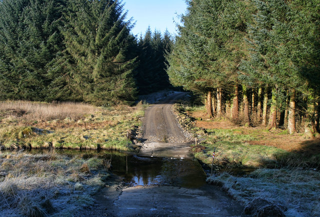
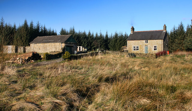
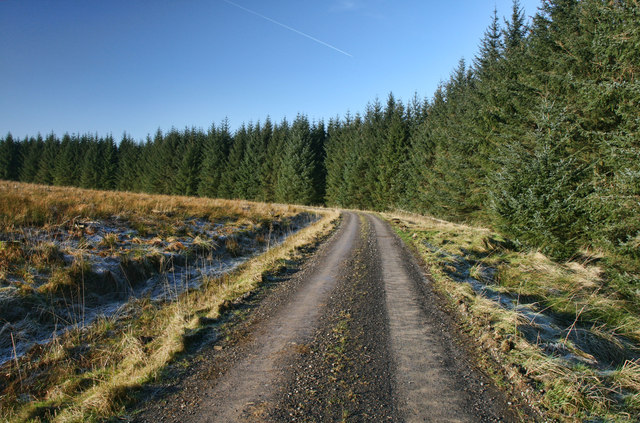
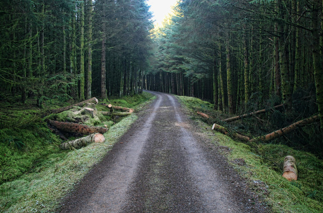
Little Blackshaws Hill Images
Images are sourced within 2km of 55.065887/-2.563626 or Grid Reference NY6474. Thanks to Geograph Open Source API. All images are credited.


Little Blackshaws Hill is located at Grid Ref: NY6474 (Lat: 55.065887, Lng: -2.563626)
Administrative County: Cumbria
District: Carlisle
Police Authority: Cumbria
What 3 Words
///scribbled.bolts.doubt. Near Greenhead, Northumberland
Nearby Locations
Related Wikis

Churnsike Lodge
Churnsike Lodge is an early Victorian hunting lodge situated in the parish of Greystead, West Northumberland, England. Constructed in 1850 by the Charlton...

RAF Spadeadam
RAF Spadeadam (pronounced "Spade Adam") (IATA: N/A, ICAO: EGOM) is a Royal Air Force (RAF) station in Cumbria, England, close to the border with Northumberland...

Kingwater
Kingwater is a civil parish in City of Carlisle district, Cumbria, England. At the 2011 census it had a population of 170.The parish is bordered to the...

Popping Stone
The Popping Stone is a group of three rounded boulders in the Irthing Gorge near the village of Gilsland. It was not always this shape, however, and photographs...

Gilsland Spa
Gilsland Spa is the present-day name of a hotel at Gilsland, Cumbria, England. It is named from the sulphurous spring which issues from a cliff below...

Sighty Crag
Sighty Crag is a hill in the southern part of the Kielder Forest region in northern England, a region which also includes its fellow Marilyns of Peel Fell...

St Mary Magdalene's Church, Gilsland
St Mary Magdalene’s Church is a small mid-Victorian Anglican church on an isolated hillside in north-east Cumbria, England. Dedicated to Jesus' companion...

Bewcastle Castle
Bewcastle Castle is a ruined castle in the parish of Bewcastle in the English county of Cumbria, a few miles from the Scottish border. == History == The...
Nearby Amenities
Located within 500m of 55.065887,-2.563626Have you been to Little Blackshaws Hill?
Leave your review of Little Blackshaws Hill below (or comments, questions and feedback).