Hill of Trustach

Hill, Mountain in Kincardineshire

Scotland

Hill of Trustach

Blackhall Forest A felled and replanted area.
Blackhall Forest Credit: Richard Webb

The Hill of Trustach is a prominent geographical feature located in Kincardineshire, Scotland. Rising to an elevation of approximately 550 meters (1804 feet), it is classified as a hill or mountain depending on the criteria used. Situated within the Cairn O' Mount range, the Hill of Trustach offers stunning panoramic views of the surrounding countryside.

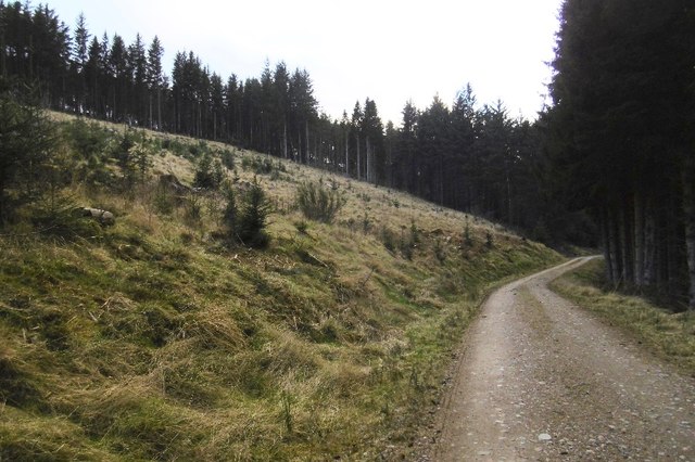
The hill is characterized by its rolling terrain, covered with heather and grasses, interspersed with scattered boulders and rocky outcrops. Its slopes are moderately steep, making it a popular destination for hikers and nature enthusiasts. The summit provides an excellent vantage point, offering breathtaking vistas of the surrounding countryside, including the neighboring Grampian Mountains and the North Sea in the distance.

The Hill of Trustach is also known for its rich biodiversity. The area is home to a variety of plant and animal species, some of which are unique to this region. Wildflowers such as heather and bluebells can be found dotting the landscape during the summer months, adding vibrant splashes of color to the hillside.

For those interested in history, the Hill of Trustach is believed to have been a significant site during ancient times. There are remnants of ancient settlements and burial sites in the vicinity, hinting at its historical importance. It is also said to have been a place of spiritual significance for local communities.

Overall, the Hill of Trustach is a natural treasure, attracting visitors with its scenic beauty, diverse flora and fauna, and historical significance. Whether it be for a leisurely hike or an exploration of the area's rich history, this hill offers a captivating experience for all who visit.

If you have any feedback on the listing, please let us know in the comments section below.

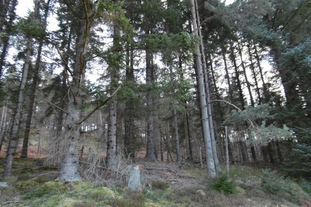
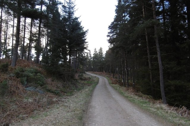
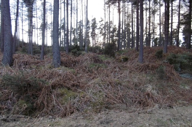
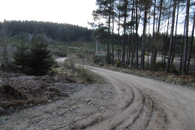
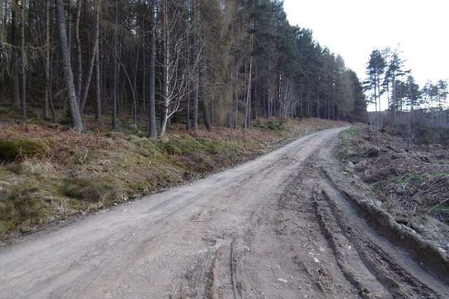
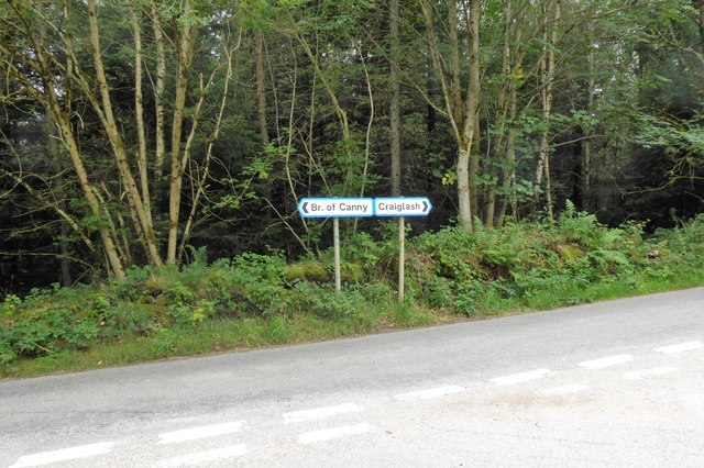
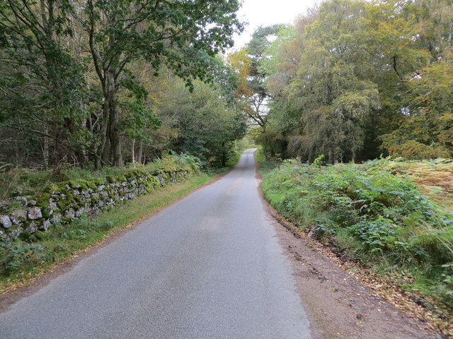
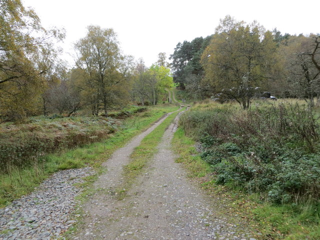
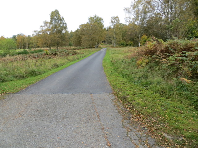
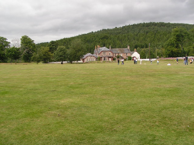
Hill of Trustach Images

Images are sourced within 2km of 57.058819/-2.5935355 or Grid Reference NO6496. Thanks to Geograph Open Source API. All images are credited.

Blackhall Forest A felled and replanted area.
Blackhall Forest
A felled and replanted area.
On Hill of Tillylair Steep slopes in Blackhall Forest.
On Hill of Tillylair
Steep slopes in Blackhall Forest.
Blackhall Forest Entering terrain covered on the latest Mar Orienteering Club Shooting Greens map.  The road crosses the entire forest from the Scolty car park and is used by the National Cycle Network.
Blackhall Forest
Entering terrain covered on the latest Mar Orienteering Club Shooting Greens map. The road crosses the entire forest from the Scolty car park and is used by the National Cycle Network.
Scots pines, Blackhall Forest
Logging road, Blackhall Forest Lots of place names and names of orienteering maps here. The whole block from the Scolty car park to the Military Road goes by Blackhall Forest. Much of that is Wood of Goauch or Goauch Wood.  In this picture the road leaves the Forestry Commission estate and the community woodland(bought from the FC) is known as Slewdrum Forest.  Orienteering maps of the western end of the forest are often titled Shooting Greens, events here are usually put on by Mar OC, while Grampian have the eastern end, often titled Scolty.
Logging road, Blackhall Forest
Lots of place names and names of orienteering maps here. The whole block from the Scolty car park to the Military Road goes by Blackhall Forest. Much of that is Wood of Goauch or Goauch Wood. In this picture the road leaves the Forestry Commission estate and the community woodland(bought from the FC) is known as Slewdrum Forest. Orienteering maps of the western end of the forest are often titled Shooting Greens, events here are usually put on by Mar OC, while Grampian have the eastern end, often titled Scolty.
Logging road, Blackhall Forest On the slopes of Hill of Tillybath, heading for the exit onto the Military Road.
Logging road, Blackhall Forest
On the slopes of Hill of Tillybath, heading for the exit onto the Military Road.
Signpost at junction near Sunnyview Seen as arriving from Glassel. 
The present unclassified Bridge of Canny to Craiglash road was part of the route of the original North Deeside road between Kincardine O'Neil and Banchory, but long since superseded by the A93 trunk road close by to the south. (Craiglash is currently the site of a working granite quarry).
Signpost at junction near Sunnyview
Seen as arriving from Glassel. The present unclassified Bridge of Canny to Craiglash road was part of the route of the original North Deeside road between Kincardine O'Neil and Banchory, but long since superseded by the A93 trunk road close by to the south. (Craiglash is currently the site of a working granite quarry).
Old Milestone by the A93, Bridge of Canny, Banchory parish Aberdeen granite by the A93, in parish of Banchory (Aberdeen District), Bridge of Canny, on verge in woods.

Inscription reads:-
21
(To Aberdeen)

Surveyed

Milestone Society National ID: AD_ADBM21
Old Milestone by the A93, Bridge of Canny, Banchory parish
Aberdeen granite by the A93, in parish of Banchory (Aberdeen District), Bridge of Canny, on verge in woods. Inscription reads:- 21 (To Aberdeen) Surveyed Milestone Society National ID: AD_ADBM21
Wood-lined minor road near to Hollandbush Looking westward.
Wood-lined minor road near to Hollandbush
Looking westward.
Woodland track that leads to Bog Loch Looking south-westward.
Woodland track that leads to Bog Loch
Looking south-westward.
Track that leads to Mains of Dalhaikie Looking north-eastward.
Track that leads to Mains of Dalhaikie
Looking north-eastward.
Deeside Way The Deeside Way heading south-westwards through Blackhall Forest.
Deeside Way
The Deeside Way heading south-westwards through Blackhall Forest.
Bracken in Slewdrum Forest Looking northwards from the Deeside Way over a bracken-filled valley in Slewdrum Forest.
Bracken in Slewdrum Forest
Looking northwards from the Deeside Way over a bracken-filled valley in Slewdrum Forest.
Junction off A93 for Craiglash Quarry Near Bridge of Canny. Once this was the main North Deeside Road.
Junction off A93 for Craiglash Quarry
Near Bridge of Canny. Once this was the main North Deeside Road.
Looking back on the A93 From a layby below the Hill of Trustach.
Looking back on the A93
From a layby below the Hill of Trustach.
Water intakes on the River Dee Water intakes at Cairnton supplying the water works at Invercannie which, in turn, is one of the main sources of water for Aberdeen.
Water intakes on the River Dee
Water intakes at Cairnton supplying the water works at Invercannie which, in turn, is one of the main sources of water for Aberdeen.
Intake for Invercannie waterworks.
Old North Deeside Road When the first turnpike was built down Deeside it passed north of Sluie Hill by way of Craiglash. This straight towards Bogloch was part of it.
Old North Deeside Road
When the first turnpike was built down Deeside it passed north of Sluie Hill by way of Craiglash. This straight towards Bogloch was part of it.
Show me another place!

Hill of Trustach is located at Grid Ref: NO6496 (Lat: 57.058819, Lng: -2.5935355)

Unitary Authority: Aberdeenshire

Police Authority: North East

What 3 Words

///motivations.stick.paddocks. Near Torphins, Aberdeenshire

Related Wikis

Mounth

The Mounth ( MUNTH) is the broad upland in northeast Scotland between the Highland Boundary and the River Dee, at the eastern end of the Grampians....

Glassel railway station

Glassel railway station is a disused railway station in Britain. It served Glassel House, the Mill of Beltie and the local farms and the inhabitants of...

Beltie Burn

The Beltie Burn is a burn in Aberdeenshire, Scotland, which below Torphins and Glassel is known as the Burn of Canny. It begins in the hill of Benaquhallie...

Potarch

Potarch ( pot-ARKH) is a hamlet in Aberdeenshire, Scotland, with a bridge across the River Dee.It is a popular location with tourists and day-trippers...

Nearby Amenities

Located within 500m of 57.058819,-2.5935355
Power: pole
Lat/Long: 57.0572179/-2.5861413
The data included in this document is from www.openstreetmap.org. The data is made available under ODbL.

Have you been to Hill of Trustach?

Leave your review of Hill of Trustach below (or comments, questions and feedback).