Ferroch

Lake, Pool, Pond, Freshwater Marsh in Kincardineshire

Scotland

Ferroch

Blackhall Forest Water inspection hatches in Goauch Wood.
Blackhall Forest Credit: Richard Webb

Ferroch is a small freshwater marsh located in Kincardineshire, Scotland. It is nestled within a rural area, surrounded by rolling hills and scenic landscapes. The marsh covers an area of approximately 2 acres and is home to a variety of aquatic plants, wildlife, and avian species.

The marsh is primarily fed by rainfall and various small streams that flow into it, ensuring a constant supply of freshwater. The water in Ferroch is known for its clarity and purity, making it an ideal habitat for a diverse range of aquatic organisms.

The marsh is characterized by its shallow and calm waters, which provide a perfect breeding ground for many species of fish, including brown trout and pike. These fish attract a number of water birds, such as herons and ducks, who can often be seen diving and fishing in the marsh.

The banks of Ferroch are adorned with lush vegetation, including reeds, rushes, and water lilies. These plants not only enhance the visual appeal of the marsh but also provide shelter and food for a variety of insects, amphibians, and small mammals.

Ferroch is a popular destination for nature enthusiasts and birdwatchers, who can observe the rich biodiversity of the marsh from designated observation points and walking trails. The serene and tranquil environment of Ferroch makes it an ideal place for relaxation and contemplation in the midst of nature.

Overall, Ferroch is a picturesque freshwater marsh that offers a glimpse into the natural beauty and biodiversity of Kincardineshire, serving as a vital habitat for a wide range of plant and animal life.

If you have any feedback on the listing, please let us know in the comments section below.
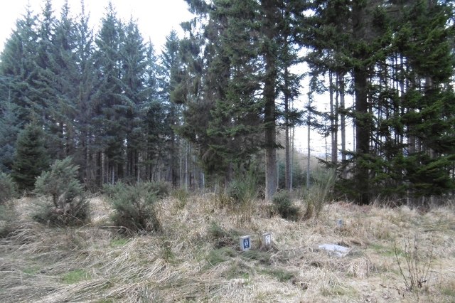
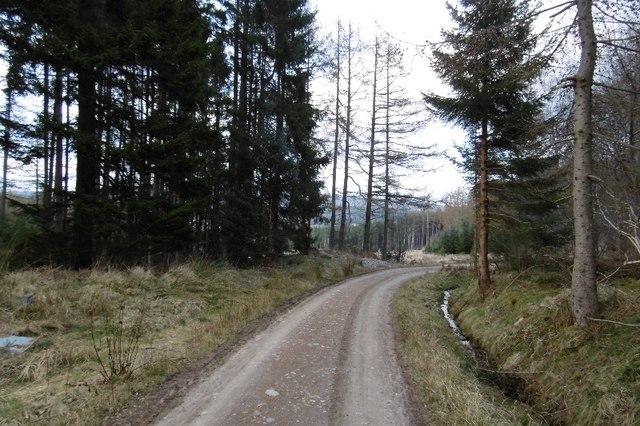
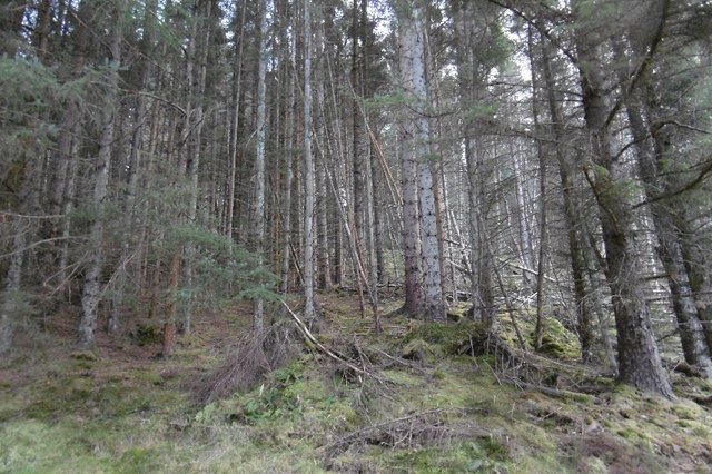
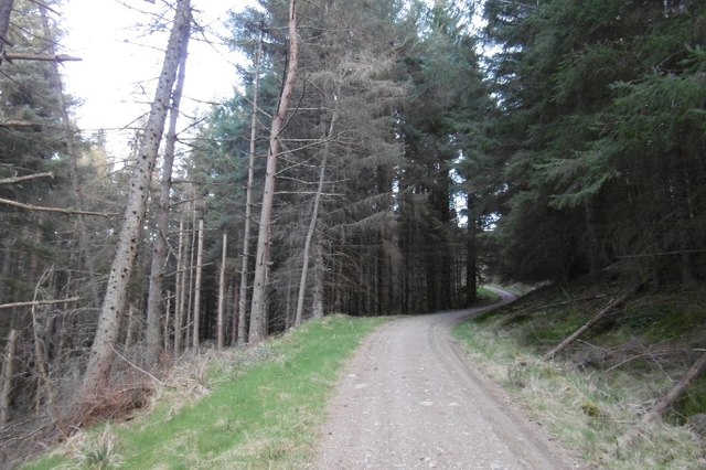
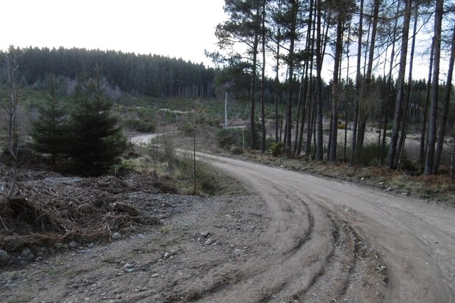
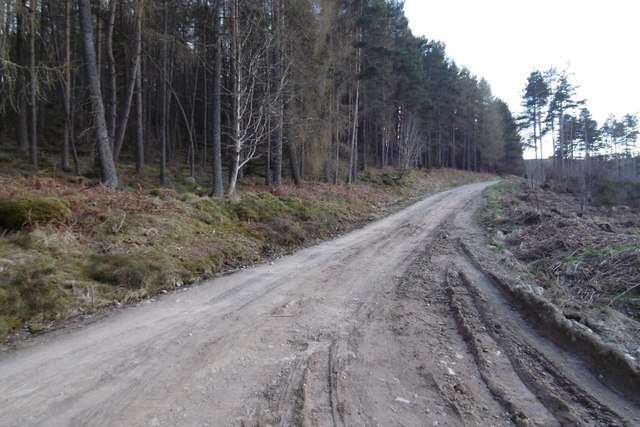
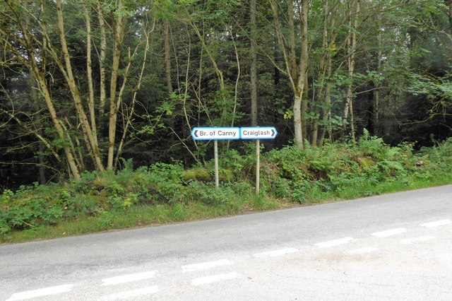
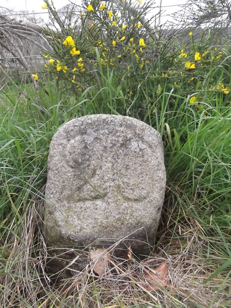
Ferroch Images

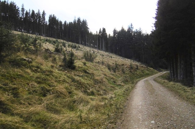
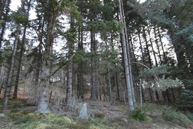
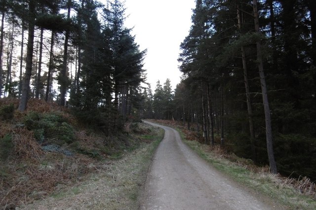
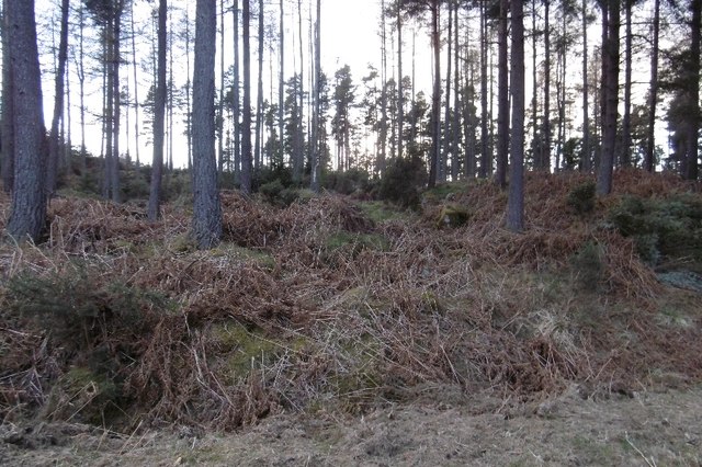
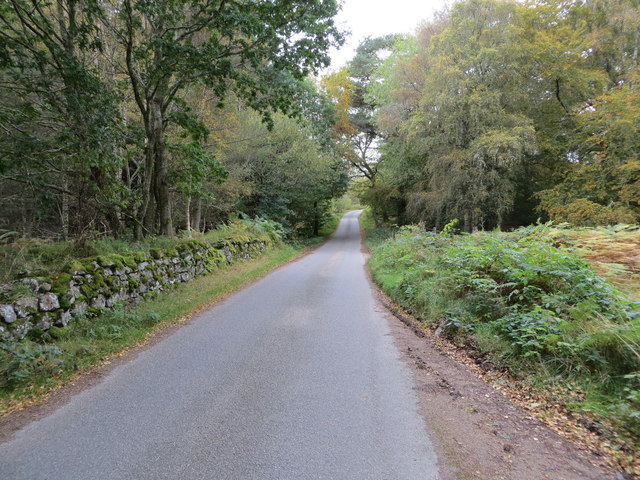
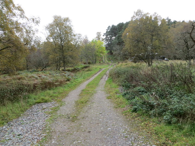
Images are sourced within 2km of 57.056044/-2.5817696 or Grid Reference NO6496. Thanks to Geograph Open Source API. All images are credited.

Blackhall Forest Water inspection hatches in Goauch Wood.
Blackhall Forest
Water inspection hatches in Goauch Wood.
Logging road, Goauch Wood The road traversed the entire Blackhall Forest and is used by the National Cycle Network.  The clearing in the background is on the western edge of the current Scolty orienteering map.
Logging road, Goauch Wood
The road traversed the entire Blackhall Forest and is used by the National Cycle Network. The clearing in the background is on the western edge of the current Scolty orienteering map.
Windthrow, Blackhall Forest Tangled timber on a steep slope.
Windthrow, Blackhall Forest
Tangled timber on a steep slope.
Logging road, Blackhall Forest A long steep climb on the slopes of Hill of Goauch.
Logging road, Blackhall Forest
A long steep climb on the slopes of Hill of Goauch.
Blackhall Forest A felled and replanted area.
Blackhall Forest
A felled and replanted area.
On Hill of Tillylair Steep slopes in Blackhall Forest.
On Hill of Tillylair
Steep slopes in Blackhall Forest.
Blackhall Forest Entering terrain covered on the latest Mar Orienteering Club Shooting Greens map.  The road crosses the entire forest from the Scolty car park and is used by the National Cycle Network.
Blackhall Forest
Entering terrain covered on the latest Mar Orienteering Club Shooting Greens map. The road crosses the entire forest from the Scolty car park and is used by the National Cycle Network.
Scots pines, Blackhall Forest
Logging road, Blackhall Forest Lots of place names and names of orienteering maps here. The whole block from the Scolty car park to the Military Road goes by Blackhall Forest. Much of that is Wood of Goauch or Goauch Wood.  In this picture the road leaves the Forestry Commission estate and the community woodland(bought from the FC) is known as Slewdrum Forest.  Orienteering maps of the western end of the forest are often titled Shooting Greens, events here are usually put on by Mar OC, while Grampian have the eastern end, often titled Scolty.
Logging road, Blackhall Forest
Lots of place names and names of orienteering maps here. The whole block from the Scolty car park to the Military Road goes by Blackhall Forest. Much of that is Wood of Goauch or Goauch Wood. In this picture the road leaves the Forestry Commission estate and the community woodland(bought from the FC) is known as Slewdrum Forest. Orienteering maps of the western end of the forest are often titled Shooting Greens, events here are usually put on by Mar OC, while Grampian have the eastern end, often titled Scolty.
Logging road, Blackhall Forest On the slopes of Hill of Tillybath, heading for the exit onto the Military Road.
Logging road, Blackhall Forest
On the slopes of Hill of Tillybath, heading for the exit onto the Military Road.
Signpost at junction near Sunnyview Seen as arriving from Glassel. 
The present unclassified Bridge of Canny to Craiglash road was part of the route of the original North Deeside road between Kincardine O'Neil and Banchory, but long since superseded by the A93 trunk road close by to the south. (Craiglash is currently the site of a working granite quarry).
Signpost at junction near Sunnyview
Seen as arriving from Glassel. The present unclassified Bridge of Canny to Craiglash road was part of the route of the original North Deeside road between Kincardine O'Neil and Banchory, but long since superseded by the A93 trunk road close by to the south. (Craiglash is currently the site of a working granite quarry).
Old Milestone by the A93, Bridge of Canny, Banchory parish Aberdeen granite by the A93, in parish of Banchory (Aberdeen District), Bridge of Canny, on verge in woods.

Inscription reads:-
21
(To Aberdeen)

Surveyed

Milestone Society National ID: AD_ADBM21
Old Milestone by the A93, Bridge of Canny, Banchory parish
Aberdeen granite by the A93, in parish of Banchory (Aberdeen District), Bridge of Canny, on verge in woods. Inscription reads:- 21 (To Aberdeen) Surveyed Milestone Society National ID: AD_ADBM21
Old Milestone by the A93, Inchmarlo, Banchory parish Aberdeen granite by the A93, in parish of Banchory (Aberdeen District), Inchmarlo, South side of road, opposite West Lodge.

Inscription reads:-
20
(To Aberdeen)

Surveyed

Milestone Society National ID: AD_ADBM20
Old Milestone by the A93, Inchmarlo, Banchory parish
Aberdeen granite by the A93, in parish of Banchory (Aberdeen District), Inchmarlo, South side of road, opposite West Lodge. Inscription reads:- 20 (To Aberdeen) Surveyed Milestone Society National ID: AD_ADBM20
Wood-lined minor road near to Hollandbush Looking westward.
Wood-lined minor road near to Hollandbush
Looking westward.
Woodland track that leads to Bog Loch Looking south-westward.
Woodland track that leads to Bog Loch
Looking south-westward.
Deeside Way The Deeside Way heading south-westwards through Blackhall Forest.
Deeside Way
The Deeside Way heading south-westwards through Blackhall Forest.
Junction off A93 for Craiglash Quarry Near Bridge of Canny. Once this was the main North Deeside Road.
Junction off A93 for Craiglash Quarry
Near Bridge of Canny. Once this was the main North Deeside Road.
Looking back on the A93 From a layby below the Hill of Trustach.
Looking back on the A93
From a layby below the Hill of Trustach.
Show me another place!

Ferroch is located at Grid Ref: NO6496 (Lat: 57.056044, Lng: -2.5817696)

Unitary Authority: Aberdeenshire

Police Authority: North East

What 3 Words

///pretty.salaried.qualifier. Near Banchory, Aberdeenshire

Related Wikis

Glassel railway station

Glassel railway station is a disused railway station in Britain. It served Glassel House, the Mill of Beltie and the local farms and the inhabitants of...

Brathens

Brathens is a village in Aberdeenshire, Scotland. == References ==

Mounth

The Mounth ( MUNTH) is the broad upland in northeast Scotland between the Highland Boundary and the River Dee, at the eastern end of the Grampians....

Beltie Burn

The Beltie Burn is a burn in Aberdeenshire, Scotland, which below Torphins and Glassel is known as the Burn of Canny. It begins in the hill of Benaquhallie...

Nearby Amenities

Located within 500m of 57.056044,-2.5817696
Power: pole
Lat/Long: 57.0572179/-2.5861413
Power: pole
Lat/Long: 57.0573287/-2.5849981
Power: pole
Lat/Long: 57.0574251/-2.5838594
Power: pole
Lat/Long: 57.0571745/-2.5827982
Power: pole
Lat/Long: 57.0569203/-2.5817126
Power: pole
Lat/Long: 57.0564046/-2.5808928
Power: pole
Lat/Long: 57.0558685/-2.5800487
Power: pole
Lat/Long: 57.0553287/-2.5791891
Power: pole
Lat/Long: 57.0548624/-2.5783162
Power: pole
Lat/Long: 57.0543913/-2.5774145
Power: pole
Lat/Long: 57.053854/-2.5765173
Power: pole
Lat/Long: 57.0533527/-2.5756887
The data included in this document is from www.openstreetmap.org. The data is made available under ODbL.

Have you been to Ferroch?

Leave your review of Ferroch below (or comments, questions and feedback).