Bredbury Green
Settlement in Cheshire
England
Bredbury Green
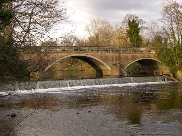
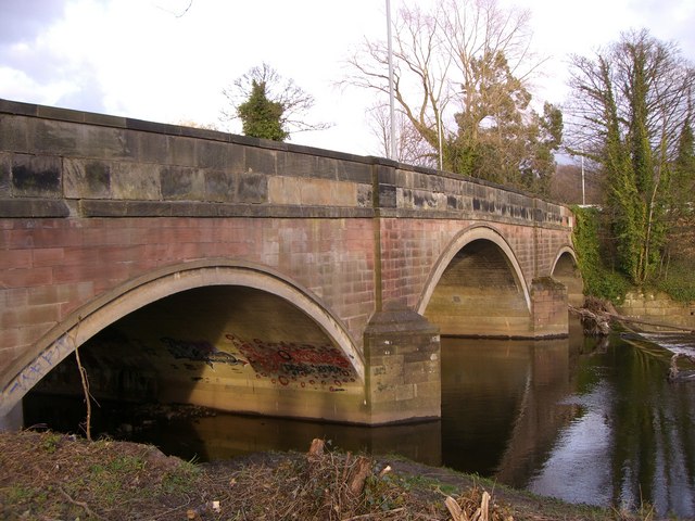
Bredbury Green is a small village located in the county of Cheshire, England. It is situated near the River Tame and is about 8 miles southeast of the city of Manchester. The village falls within the Metropolitan Borough of Stockport and is part of the larger Bredbury and Romiley area.
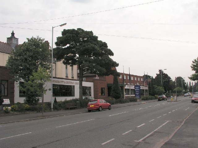
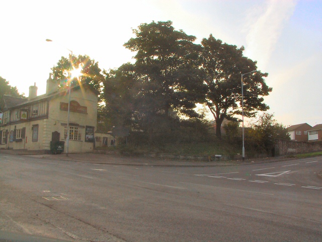
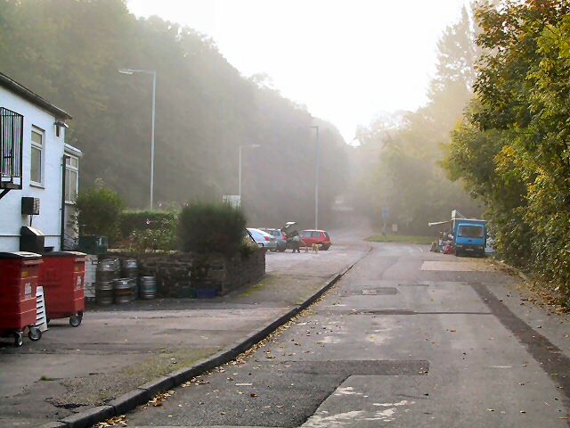
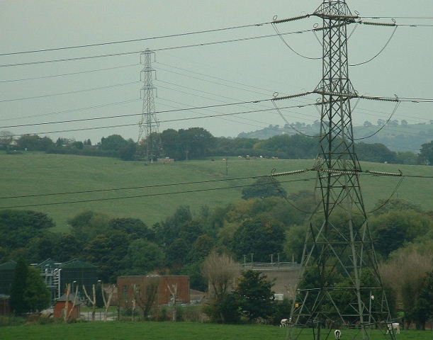
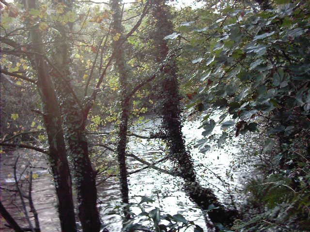
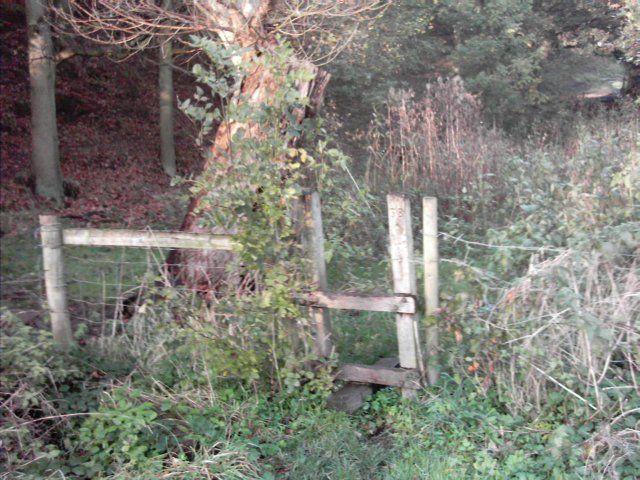
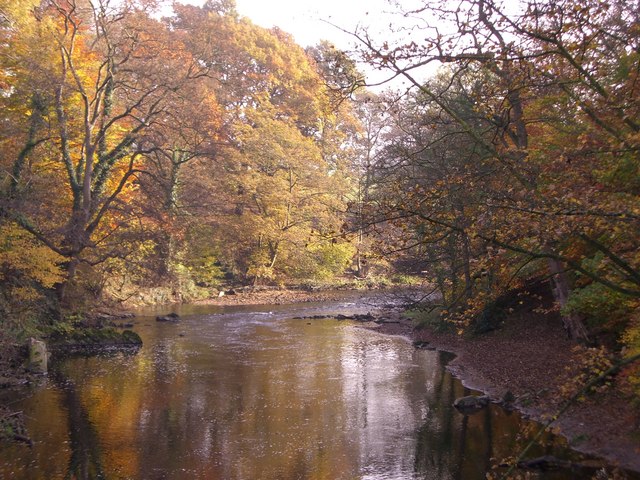
Bredbury Green is known for its picturesque surroundings, with rolling green fields and charming countryside views. The village has a peaceful and rural atmosphere, providing a welcome escape from the hustle and bustle of city life. It is a popular residential area, with a mix of traditional stone-built houses and more modern developments.
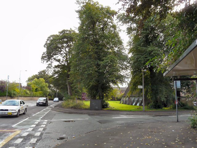
The village is well-connected to the surrounding areas, with easy access to major road networks, including the M60 motorway. Bredbury Green also benefits from good public transportation links, with regular bus services providing connections to nearby towns and villages.
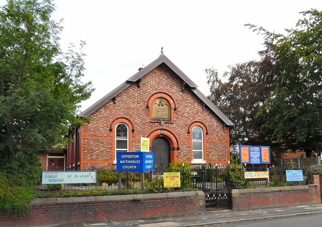
Amenities in Bredbury Green are limited, with a small number of local shops, a post office, and a pub. However, residents have easy access to a wider range of facilities in nearby Bredbury and Romiley, including supermarkets, schools, and healthcare services.
Nature enthusiasts will appreciate the proximity of Bredbury Green to the Peak District National Park, which offers ample opportunities for outdoor activities such as hiking, cycling, and wildlife spotting. Overall, Bredbury Green provides a peaceful and scenic setting for those seeking a tranquil village lifestyle within close reach of urban amenities.
If you have any feedback on the listing, please let us know in the comments section below.
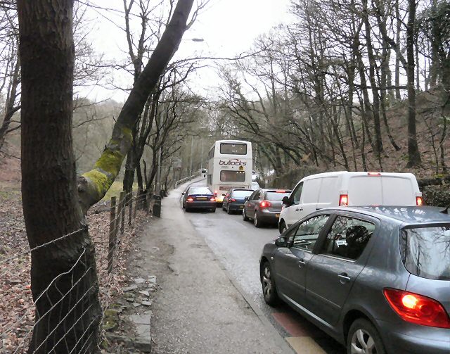
Bredbury Green Images
Images are sourced within 2km of 53.411705/-2.104524 or Grid Reference SJ9390. Thanks to Geograph Open Source API. All images are credited.


Bredbury Green is located at Grid Ref: SJ9390 (Lat: 53.411705, Lng: -2.104524)
Unitary Authority: Stockport
Police Authority: Greater Manchester
What 3 Words
///played.cattle.kept. Near Bredbury, Manchester
Nearby Locations
Related Wikis

Harrytown Hall
Harrytown Hall is a former manor house in Bredbury, Stockport, England. The first hall was built in the 15th century by Harry Bruckshaw. In 1671, it was...
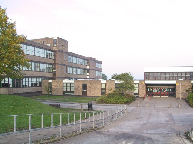
Werneth School
Werneth School (formerly Bredbury Comprehensive School) is a coeducational secondary school located in Bredbury near Stockport, Greater Manchester, England...
Harrytown Catholic High School
Harrytown Catholic High School is a voluntary aided Catholic secondary school, situated in Romiley near Stockport, England. Designated as a Specialist...
Elder Mill, Romiley
Elder Mill, Romiley was a cotton spinning mill in Romiley, Stockport, Greater Manchester. It was taken over by the Lancashire Cotton Corporation in the...
Stockport Rural District
Stockport was a rural district in the administrative county of Cheshire from 1894 to 1904. The district was the successor to the Stockport Rural Sanitary...

Chadkirk Chapel
Chadkirk Chapel is a restored historic chapel near Romiley in the Metropolitan Borough of Stockport in Greater Manchester, England. It is recorded in...

Chadkirk
Chadkirk is an area in the Metropolitan Borough of Stockport in Greater Manchester, England. It is located between the River Goyt and the Peak Forest Canal...
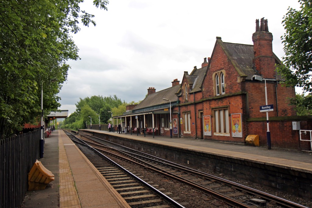
Romiley railway station
Romiley railway station serves Romiley, in the Metropolitan Borough of Stockport, Greater Manchester, England. == History == The station was built by the...
Nearby Amenities
Located within 500m of 53.411705,-2.104524Have you been to Bredbury Green?
Leave your review of Bredbury Green below (or comments, questions and feedback).