Burymewick
Settlement in Cheshire
England
Burymewick
Burymewick is a quaint village located in the county of Cheshire, England. Situated near the border with Wales, the village is nestled amidst picturesque countryside, offering stunning views of rolling hills and lush green fields. With a population of around 1,500 residents, Burymewick exudes a peaceful and close-knit community atmosphere.
The village is steeped in history, dating back to medieval times. It is home to several well-preserved historical buildings, including a charming 14th-century church that stands as a testament to the village's rich past. The architecture of the village is a delightful blend of traditional half-timbered houses and more modern structures, creating a unique and visually pleasing ambiance.
Burymewick boasts a range of amenities to cater to its residents' needs. The village has a primary school, a post office, a small grocery store, and a handful of local shops and businesses. Additionally, there are a couple of cozy pubs where locals and visitors can enjoy a pint of ale or indulge in traditional British cuisine.
Nature enthusiasts will find plenty to explore in the surrounding area. The village is surrounded by beautiful countryside, offering opportunities for scenic walks, cycling, and horse riding. There are also several nature reserves nearby, providing habitats for various wildlife species and offering a peaceful escape for those seeking solace in nature.
Overall, Burymewick presents itself as a charming village with a rich heritage, picturesque surroundings, and a warm and welcoming community. It is an idyllic destination for those seeking a peaceful retreat or a glimpse into traditional English village life.
If you have any feedback on the listing, please let us know in the comments section below.
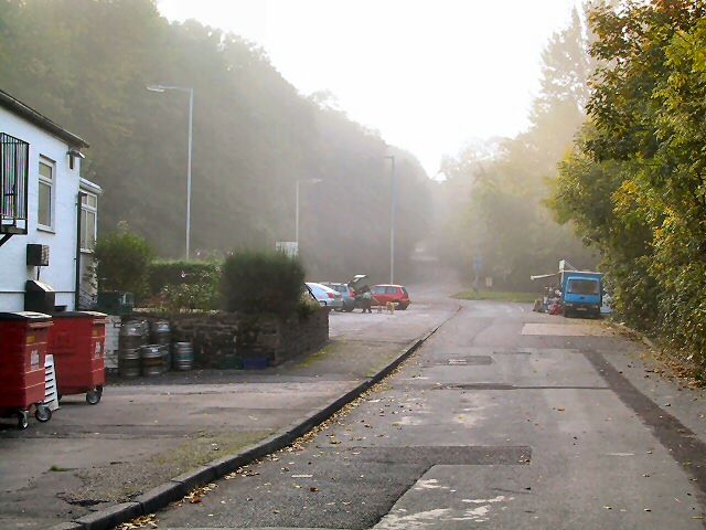
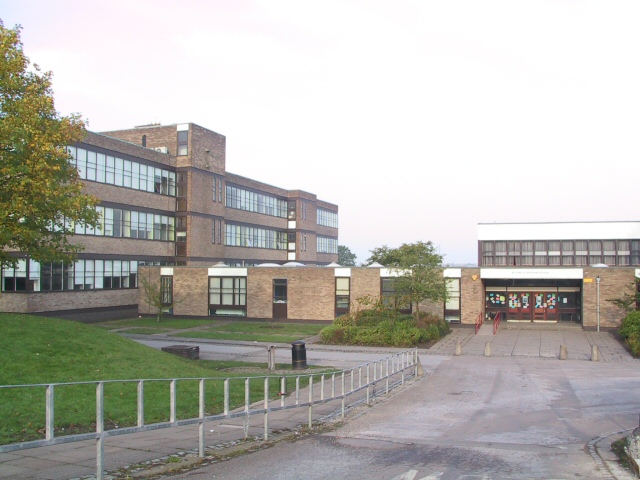
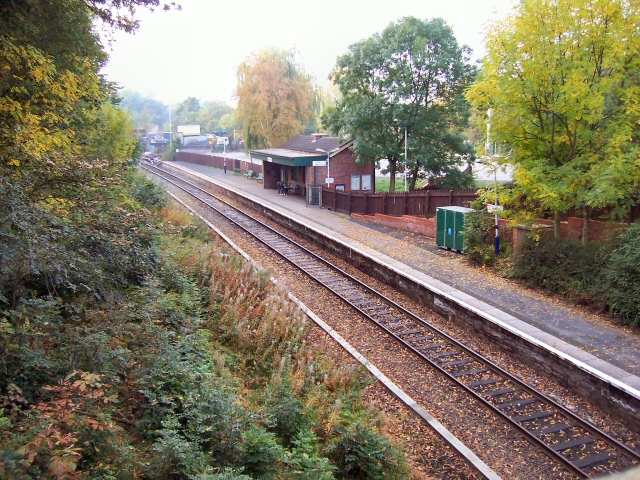
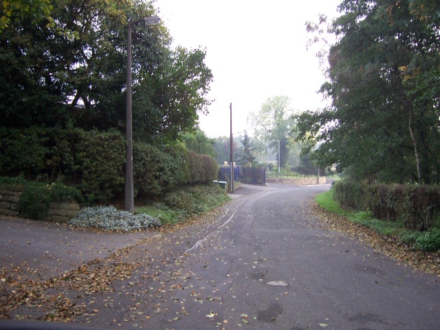
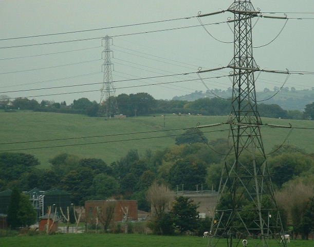
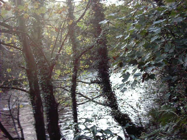
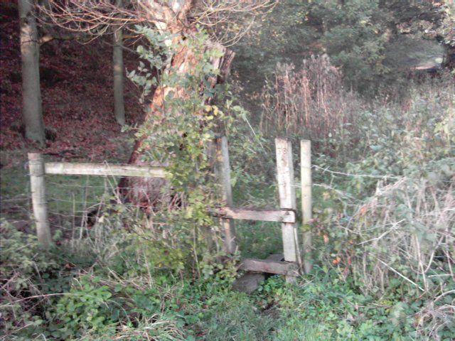
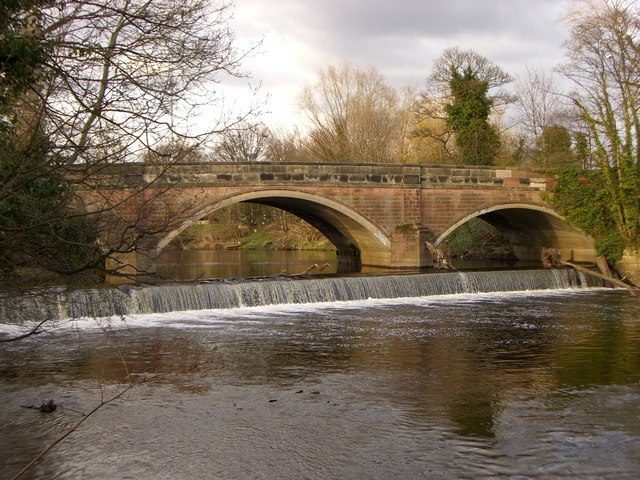
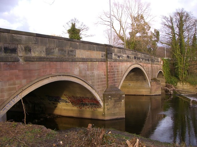
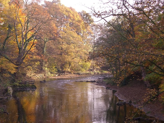
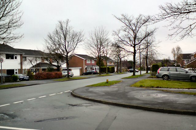
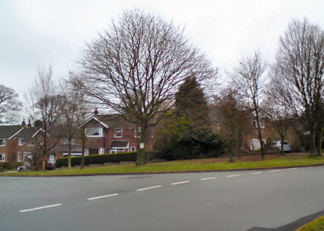
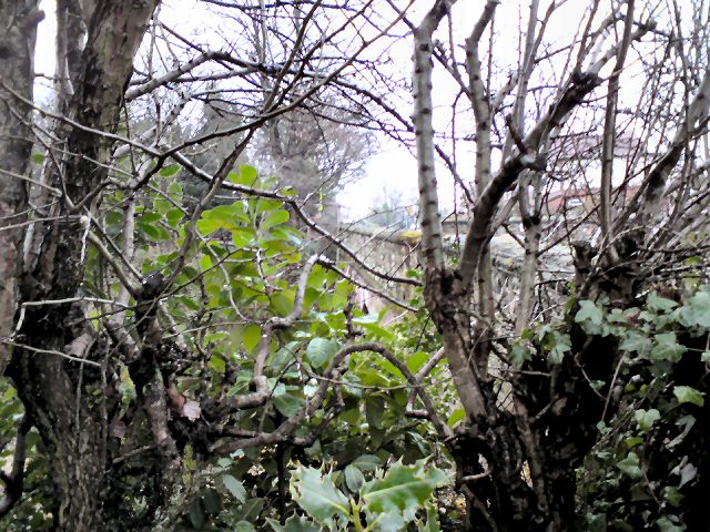
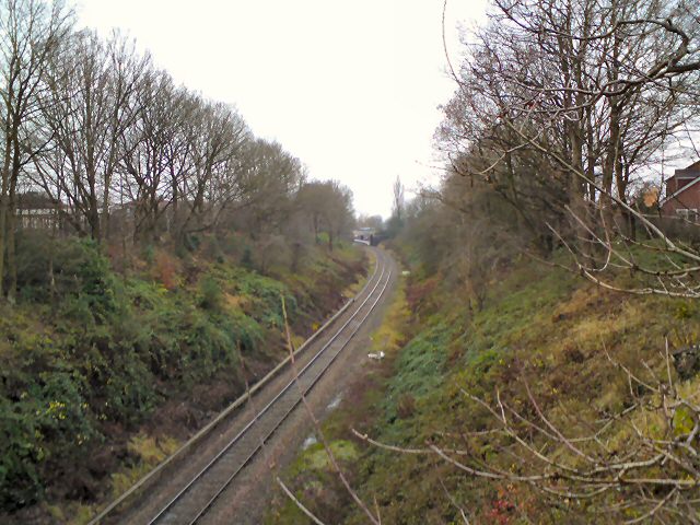
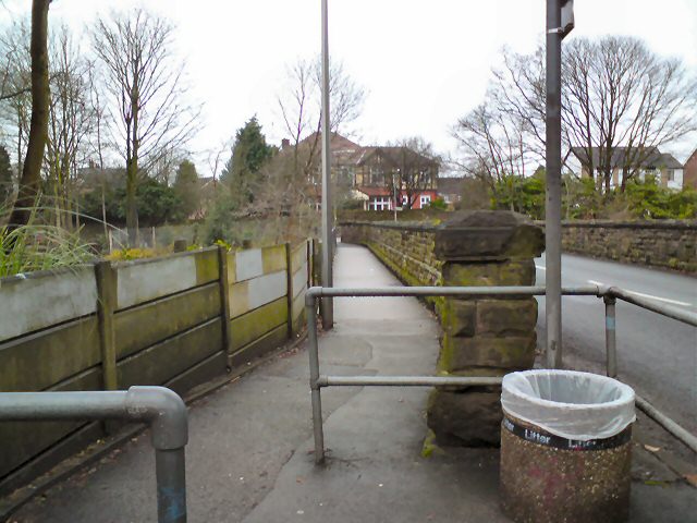
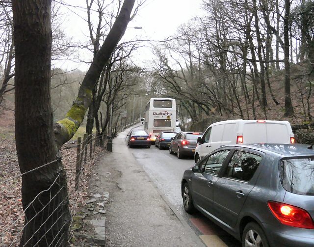
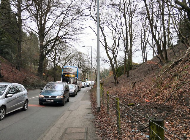
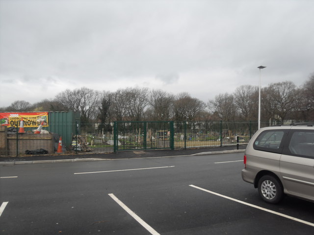
Burymewick Images
Images are sourced within 2km of 53.410834/-2.093517 or Grid Reference SJ9390. Thanks to Geograph Open Source API. All images are credited.
Burymewick is located at Grid Ref: SJ9390 (Lat: 53.410834, Lng: -2.093517)
Unitary Authority: Stockport
Police Authority: Greater Manchester
What 3 Words
///pills.harp.refers. Near Bredbury, Manchester
Nearby Locations
Related Wikis

Elder Mill, Romiley
Elder Mill, Romiley was a cotton spinning mill in Romiley, Stockport, Greater Manchester. It was taken over by the Lancashire Cotton Corporation in the...

Chadkirk Chapel
Chadkirk Chapel is a restored historic chapel near Romiley in the Metropolitan Borough of Stockport in Greater Manchester, England. It is recorded in...
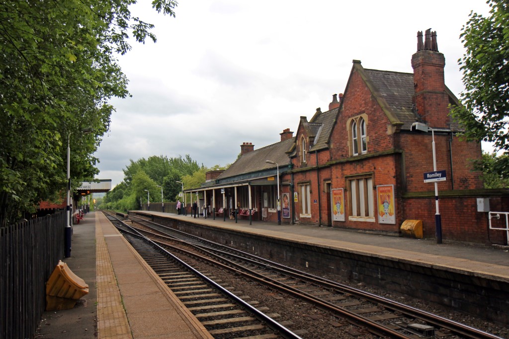
Romiley railway station
Romiley railway station serves Romiley, in the Metropolitan Borough of Stockport, Greater Manchester, England. == History == The station was built by the...

Chadkirk
Chadkirk is an area in the Metropolitan Borough of Stockport in Greater Manchester, England. It is located between the River Goyt and the Peak Forest Canal...

Romiley
Romiley is a village in the Metropolitan Borough of Stockport, Greater Manchester, England. Historically part of Cheshire, it borders Marple, Bredbury...
Harrytown Catholic High School
Harrytown Catholic High School is a voluntary aided Catholic secondary school, situated in Romiley near Stockport, England. Designated as a Specialist...
Harrytown Hall
Harrytown Hall is a former manor house in Bredbury, Stockport, England. The first hall was built in the 15th century by Harry Bruckshaw. In 1671, it was...
Werneth School
Werneth School (formerly Bredbury Comprehensive School) is a coeducational secondary school located in Bredbury near Stockport, Greater Manchester, England...
Related Videos

Peak Forest Canal Walk, English Countryside 4K
https://www.buymeacoffee.com/Daveswalks All support is hugely appreciated and it helps me keep the channel going! No talking ...

Marple Aqueduct and Canal Walk, English Countryside 4K
https://www.buymeacoffee.com/Daveswalks All support is hugely appreciated and it helps me keep the channel going! No talking ...


Etherow Country Park Walk, English Countryside 4K
https://www.buymeacoffee.com/Daveswalks All support is hugely appreciated and it helps me keep the channel going! No talking ...
Nearby Amenities
Located within 500m of 53.410834,-2.093517Have you been to Burymewick?
Leave your review of Burymewick below (or comments, questions and feedback).