Hatherlow

Settlement in Cheshire

England

Hatherlow

Farmers' Market Early Sunday morning assembly of fruit and veg sellers behind the pub on Dooley Lane, Marple.  The mist has not yet burned off.
Farmers' Market Credit: Roger May

Hatherlow is a small village located in the county of Cheshire, England. Situated approximately 4 miles southeast of the town of Stockport, Hatherlow falls within the Metropolitan Borough of Stockport. The village is nestled in a rural setting, surrounded by picturesque countryside and farmland.

Hatherlow has a rich history and is believed to have been inhabited since Roman times. The village features a number of historical buildings, including St. Paul's Church, which dates back to the 19th century and is a prominent landmark in the area. The church is known for its beautiful stained glass windows and intricate architecture.

Despite its small size, Hatherlow offers a range of amenities to its residents. These include a local pub, a primary school, and a village hall that serves as a hub for community events and gatherings. The village also benefits from being in close proximity to larger towns and cities, providing easy access to a wider range of services and facilities.

The surrounding countryside provides ample opportunities for outdoor activities, such as hiking, cycling, and horse riding. Nearby attractions include Etherow Country Park, which offers scenic walks and a reservoir for water-based activities.

Hatherlow is well-connected by road, with the A627 offering easy access to nearby towns and the wider road network. Public transportation options are limited, but regular bus services connect the village to neighboring areas.

Overall, Hatherlow offers a tranquil and close-knit community in a picturesque rural setting, making it an attractive place to live for those seeking a peaceful lifestyle within easy reach of urban amenities.

If you have any feedback on the listing, please let us know in the comments section below.
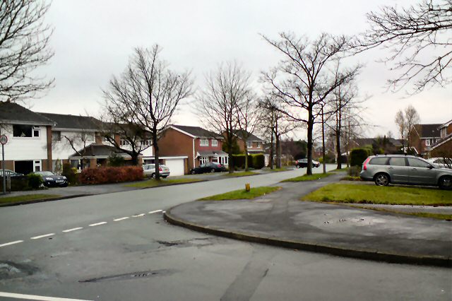
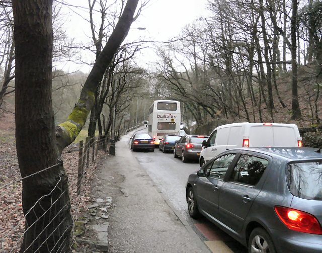
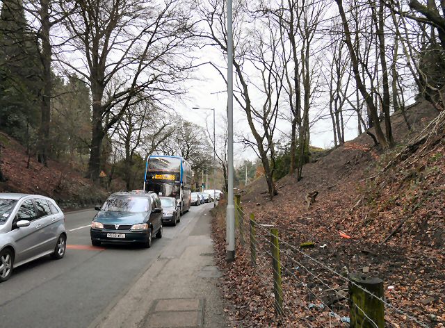
Hatherlow Images

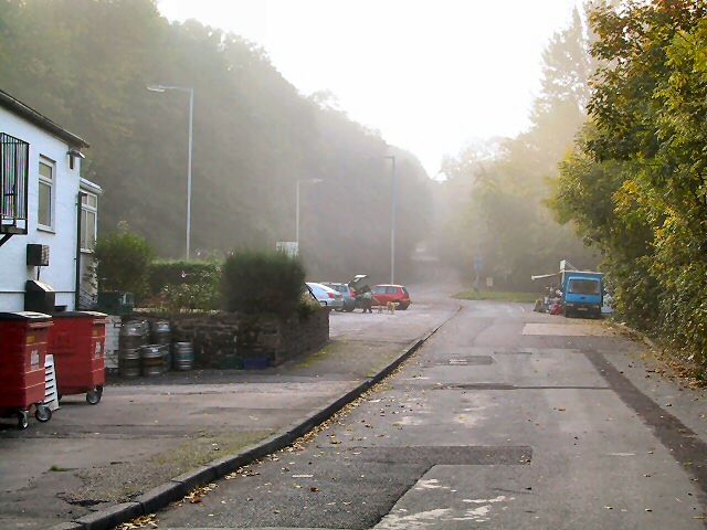
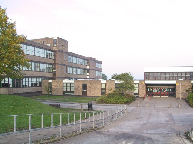
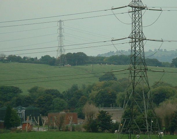
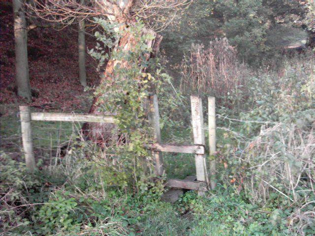
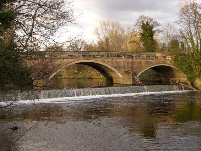
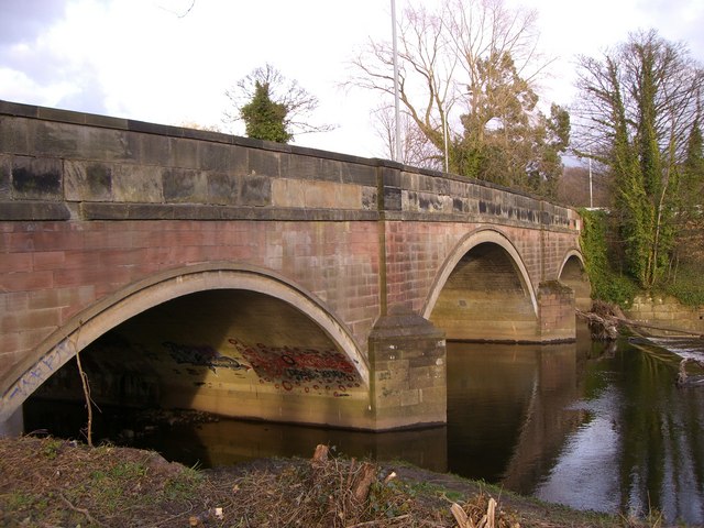
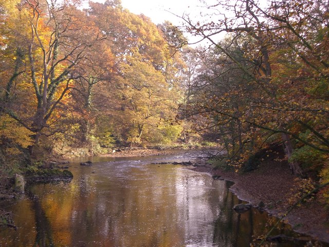
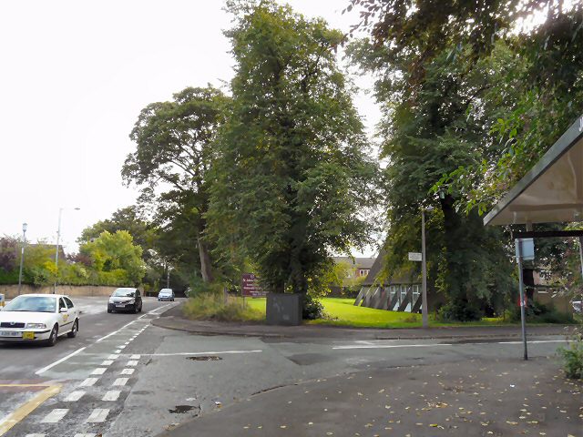
Images are sourced within 2km of 53.411889/-2.100011 or Grid Reference SJ9390. Thanks to Geograph Open Source API. All images are credited.

Farmers' Market Early Sunday morning assembly of fruit and veg sellers behind the pub on Dooley Lane, Marple.  The mist has not yet burned off.
Farmers' Market
Early Sunday morning assembly of fruit and veg sellers behind the pub on Dooley Lane, Marple. The mist has not yet burned off.
Marple Hall School The Bradshaw Buildings, Marple Hall School.
Marple Hall School
The Bradshaw Buildings, Marple Hall School.
Bunkers Hill and Sewage Works Looking over the Goyt valley from the SW
Bunkers Hill and Sewage Works
Looking over the Goyt valley from the SW
River  Goyt Looking downstream from a point on the Goyt Valley Way to the south of Bredbury Green.
River Goyt
Looking downstream from a point on the Goyt Valley Way to the south of Bredbury Green.
Stile A stile on the public footpath from Bredbury Green to the banks of the River Goyt to the east of Stockport.
Stile
A stile on the public footpath from Bredbury Green to the banks of the River Goyt to the east of Stockport.
Weir at Otterspool One of a series of weirs between Otterspool and Marple along the River Goyt.
Weir at Otterspool
One of a series of weirs between Otterspool and Marple along the River Goyt.
Bridge at Otterspool When the bridge was widened the side wall was dismantled and rebuilt as the wall for the new bridge, seen clearly in the photo.
Bridge at Otterspool
When the bridge was widened the side wall was dismantled and rebuilt as the wall for the new bridge, seen clearly in the photo.
River Goyt in Woodbank Park Autumn colours along the River Goyt as it meanders into Stockport.
River Goyt in Woodbank Park
Autumn colours along the River Goyt as it meanders into Stockport.
St John's Church, Offerton
Marple Road, Offerton The A626 Stockport to Glossop road at the corner of Old Hall Drive near St John's <a href="https://www.geograph.org.uk/photo/1477670">SJ9288 : St John's Church, Offerton</a>.
Marple Road, Offerton
The A626 Stockport to Glossop road at the corner of Old Hall Drive near St John's SJ9288 : St John's Church, Offerton.
Marple Hall Drive From the corner of Flagg Wood Avenue
Marple Hall Drive
From the corner of Flagg Wood Avenue
A626/7 This section of road is shared by the A626 from   Stockport and the A627 from Hazel Grove before they diverge to Glossop and Hyde respectively.
A626/7
This section of road is shared by the A626 from Stockport and the A627 from Hazel Grove before they diverge to Glossop and Hyde respectively.
A626/7 This section of road is shared by the A626 from Glossop and the A627 from Hyde before they diverge to Stockport and Hazel Grove respectively.
A626/7
This section of road is shared by the A626 from Glossop and the A627 from Hyde before they diverge to Stockport and Hazel Grove respectively.
St John's Church Offerton St John's (C of E) church on Marple Road on Marple Road, is also home to New Life Community Church (<span class="nowrap"><a title="http://www.churches-uk-ireland.org/towns/s/stockport.html" rel="nofollow ugc noopener" href="http://www.churches-uk-ireland.org/towns/s/stockport.html">Link</a><img style="margin-left:2px;" alt="External link" title="External link - shift click to open in new window" src="https://s1.geograph.org.uk/img/external.png" width="10" height="10"/></span> )
St John's Church Offerton
St John's (C of E) church on Marple Road on Marple Road, is also home to New Life Community Church (LinkExternal link )
Marple Road The A626, Marple Road, climbing towards Offerton Green.
Marple Road
The A626, Marple Road, climbing towards Offerton Green.
The Wrights Arms Former public house on Marple Road; currentlt being refurbished as an Indian restaurant.
The Wrights Arms
Former public house on Marple Road; currentlt being refurbished as an Indian restaurant.
The Wrights Arms Former public house on Marple Road, shortly to re-open as an Indian restaurant.
The Wrights Arms
Former public house on Marple Road, shortly to re-open as an Indian restaurant.
Bongs Road
Bongs Road
Show me another place!

Hatherlow is located at Grid Ref: SJ9390 (Lat: 53.411889, Lng: -2.100011)

Unitary Authority: Stockport

Police Authority: Greater Manchester

What 3 Words

///snack.rubble.tiles. Near Bredbury, Manchester

Related Wikis

Elder Mill, Romiley

Elder Mill, Romiley was a cotton spinning mill in Romiley, Stockport, Greater Manchester. It was taken over by the Lancashire Cotton Corporation in the...

Harrytown Catholic High School

Harrytown Catholic High School is a voluntary aided Catholic secondary school, situated in Romiley near Stockport, England. Designated as a Specialist...

Harrytown Hall

Harrytown Hall is a former manor house in Bredbury, Stockport, England. The first hall was built in the 15th century by Harry Bruckshaw. In 1671, it was...

Werneth School

Werneth School (formerly Bredbury Comprehensive School) is a coeducational secondary school located in Bredbury near Stockport, Greater Manchester, England...

Nearby Amenities

Located within 500m of 53.411889,-2.100011
Romiley
Is In: Stockport, Greater Manchester, England, UK
Name Ur: روملی
Place: suburb
Source: npe
Lat/Long: 53.4140653/-2.0960802
Traffic Signals
Lat/Long: 53.4158114/-2.1018695
Waterway: turning_point
Lat/Long: 53.4131318/-2.0979905
Barrier: bollard
Bicycle: yes
Foot: yes
Horse: yes
Motor Vehicle: no
Lat/Long: 53.4102634/-2.0936176
Bus Stop
Harrytown High School (Stop E)
Bus: yes
Local Ref: E
Naptan AtcoCode: 1800SG14451
Naptan Bearing: S
Naptan CommonName: Harrytown High School (Stop E)
Naptan Indicator: Stop E
Naptan Landmark: SCHOOL
Naptan NaptanCode: manjdtat
Naptan PlusbusZoneRef: MNCRPIC
Naptan ShortCommonName: Harrytown HS
Naptan Street: HARRYTOWN
Naptan Verified: no
Network: TfGM
Public Transport: platform
Source: naptan_import
Lat/Long: 53.4131088/-2.1052986
Bus Stop
Harrytown/High School (Stop C)
Bus: yes
Local Ref: C
Naptan AtcoCode: 1800SG14461
Naptan Bearing: S
Naptan CommonName: Harrytown/High School (Stop C)
Naptan Indicator: Stop C
Naptan Landmark: SCHOOL
Naptan NaptanCode: manjdtaw
Naptan PlusbusZoneRef: MNCRPIC
Naptan ShortCommonName: High School
Naptan Street: HARRYTOWN
Naptan Verified: no
Network: TfGM
Public Transport: platform
Source: naptan_import
Lat/Long: 53.4132616/-2.1052839
Bus Stop
Harrytown/High School (Stop A)
Bus: yes
Local Ref: A
Naptan AtcoCode: 1800SG14471
Naptan Bearing: S
Naptan CommonName: Harrytown/High School (Stop A)
Naptan Indicator: Stop A
Naptan Landmark: HARRYTOWN High School
Naptan NaptanCode: manjdtda
Naptan PlusbusZoneRef: MNCRPIC
Naptan ShortCommonName: High School
Naptan Street: HARRYTOWN
Naptan Verified: no
Network: TfGM
Public Transport: platform
Source: naptan_import
Lat/Long: 53.4136212/-2.1052698
Bus Stop
Harrytown/High School (Stop B)
Bus: yes
Local Ref: B
Naptan AtcoCode: 1800SG14481
Naptan Bearing: S
Naptan CommonName: Harrytown/High School (Stop B)
Naptan Indicator: Stop B
Naptan Landmark: SCHOOL
Naptan NaptanCode: manjdtdg
Naptan PlusbusZoneRef: MNCRPIC
Naptan ShortCommonName: High School
Naptan Street: HARRYTOWN
Naptan Verified: no
Network: TfGM
Public Transport: platform
Source: naptan_import
Lat/Long: 53.4134054/-2.1052843
Bus Stop
Bredbury, School Brow / near Peak Bank
Bus: yes
Naptan AtcoCode: 1800SG15731
Naptan Bearing: SE
Naptan CommonName: School Brow/Peak Bank
Naptan Indicator: Opp House 14
Naptan Landmark: HOUSE 14
Naptan NaptanCode: manjdtpd
Naptan PlusbusZoneRef: MNCRPIC
Naptan ShortCommonName: Peak Bank
Naptan Street: SCHOOL BROW
Naptan Verified: no
Network: TfGM
Operator: TfGM
Public Transport: platform
Source: naptan_import
Lat/Long: 53.4152729/-2.1003942
Bus Stop
Romiley, Stockport Road / near Duke of York
Bus: yes
Naptan AtcoCode: 1800SG37571
Naptan Bearing: W
Naptan CommonName: Stockport Road/Duke of York
Naptan Indicator: Os House 7
Naptan Landmark: PUBLIC HSE
Naptan NaptanCode: manjgmjd
Naptan PlusbusZoneRef: MNCRPIC
Naptan ShortCommonName: Duke of York
Naptan Street: STOCKPORT ROAD
Naptan Verified: no
Network: TfGM
Operator: TfGM
Public Transport: platform
Source: naptan_import
Lat/Long: 53.413273/-2.0965703
Bus Stop
Romiley, Stockport Road / opposite Duke of York
Bus: yes
Naptan AtcoCode: 1800SG37581
Naptan Bearing: E
Naptan CommonName: Stockport Road/Duke of York
Naptan Indicator: Shops
Naptan Landmark: SHOPS
Naptan NaptanCode: manjgmjg
Naptan PlusbusZoneRef: MNCRPIC
Naptan ShortCommonName: Duke of York
Naptan Street: STOCKPORT ROAD
Naptan Verified: no
Network: TfGM
Operator: TfGM
Public Transport: platform
Source: naptan_import
Lat/Long: 53.4134753/-2.097085
Bus Stop
Romiley, Gorsey Brow / near Hatherlow
Bus: yes
Naptan AtcoCode: 1800SG37591
Naptan Bearing: SW
Naptan CommonName: Gorsey Road/Hatherlow
Naptan Indicator: O/s House 10
Naptan Landmark: HOUSE 10
Naptan NaptanCode: manjgmjm
Naptan PlusbusZoneRef: MNCRPIC
Naptan ShortCommonName: Hatherlow
Naptan Street: GORSEY BROW
Naptan Verified: no
Network: TfGM
Operator: TfGM
Public Transport: platform
Source: naptan_import
Lat/Long: 53.4125198/-2.1002873
Bus Stop
Romiley, Gorsey Brow / opposite Hatherlow
Bus: yes
Naptan AtcoCode: 1800SG37601
Naptan Bearing: NE
Naptan CommonName: Gorsey Brow/Hatherlow
Naptan Indicator: Opp House 8
Naptan Landmark: HOUSE 1
Naptan NaptanCode: manjgmjp
Naptan PlusbusZoneRef: MNCRPIC
Naptan ShortCommonName: Hatherlow
Naptan Street: GORSEY BROW
Naptan Verified: no
Network: TfGM
Operator: TfGM
Public Transport: platform
Source: naptan_import
Lat/Long: 53.4125017/-2.1004527
Bus Stop
Romiley, School Brow / outside Cow & Calf
Bus: yes
Naptan AtcoCode: 1800SG37631
Naptan Bearing: NW
Naptan CommonName: School Brow/Cow & Calf
Naptan Indicator: Cow And Calf
Naptan Landmark: COW AND CALF
Naptan NaptanCode: manjgmpa
Naptan PlusbusZoneRef: MNCRPIC
Naptan ShortCommonName: Cow & Calf
Naptan Street: SCHOOL BROW
Naptan Verified: no
Network: TfGM
Operator: TfGM
Public Transport: platform
Source: naptan_import
Lat/Long: 53.415638/-2.1014381
Bus Stop
Bredbury Green, Bredbury Green / near The Ridgeway
Bus: yes
Naptan AtcoCode: 1800SG37901
Naptan Bearing: W
Naptan CommonName: Bredbury Green/The Ridgeway
Naptan Indicator: O/s House 37
Naptan Landmark: HOUSE 37
Naptan NaptanCode: manjgpaw
Naptan PlusbusZoneRef: MNCRPIC
Naptan ShortCommonName: The Ridgeway
Naptan Street: BREDBURY GREEN
Naptan Verified: no
Network: TfGM
Operator: TfGM
Public Transport: platform
Source: naptan_import
Lat/Long: 53.4108713/-2.1044807
Bus Stop
Berrycroft Lane/Kings Road
Bus: yes
Naptan AtcoCode: 1800SG00271
Naptan Bearing: E
Naptan CommonName: Berrycroft Lane/Kings Road
Naptan Indicator: Opp. School
Naptan Landmark: CARE HOME
Naptan NaptanCode: manjadgd
Naptan PlusbusZoneRef: MNCRPIC
Naptan ShortCommonName: Kings Road
Naptan Street: BERRYCROFT LANE
Naptan Verified: no
Network: TfGM
Public Transport: platform
Source: naptan_import
Lat/Long: 53.4159694/-2.1027328
Bus Stop
Harrytown/Werneth School
Bus: yes
Naptan AtcoCode: 1800SG00481
Naptan Bearing: N
Naptan CommonName: Harrytown/Werneth School
Naptan Indicator: Werneth High School
Naptan Landmark: WERNETH SCHOOL
Naptan NaptanCode: manjadja
Naptan Notes: INDICATOR AMENDED
Naptan PlusbusZoneRef: MNCRPIC
Naptan ShortCommonName: Werneth School
Naptan Street: HARRYTOWN
Naptan Verified: no
Network: TfGM
Public Transport: platform
Source: naptan_import
Lat/Long: 53.4137559/-2.1054205
Bus Stop
Harrytown/High School (Stop F)
Bus: yes
Local Ref: F
Naptan AtcoCode: 1800SG00581
Naptan Bearing: S
Naptan CommonName: Harrytown/High School (Stop F)
Naptan Indicator: Stop F
Naptan Landmark: SCHOOL
Naptan NaptanCode: manjadma
Naptan PlusbusZoneRef: MNCRPIC
Naptan ShortCommonName: High School
Naptan Street: HARRYTOWN
Naptan Verified: no
Network: TfGM
Public Transport: platform
Source: naptan_import
Lat/Long: 53.412947/-2.1053283
Bus Stop
Harrytown/High School (Stop D)
Bus: yes
Local Ref: D
Naptan AtcoCode: 1800SG02031
Naptan Bearing: S
Naptan CommonName: Harrytown/High School (Stop D)
Naptan Indicator: Stop D
Naptan Landmark: SCHOOL
Naptan NaptanCode: manjadtw
Naptan PlusbusZoneRef: MNCRPIC
Naptan ShortCommonName: High School
Naptan Street: HARRYTOWN
Naptan Verified: no
Network: TfGM
Public Transport: platform
Source: naptan_import
Lat/Long: 53.4131897/-2.1052988
Bus Stop
Harrytown, Harrytown / at Werneth School
Bus: yes
Naptan AtcoCode: 1800SG37921
Naptan Bearing: N
Naptan CommonName: Harrytown/Werneth School
Naptan Indicator: Harrytown Sch
Naptan Landmark: WERNETH School
Naptan NaptanCode: manjgpdg
Naptan PlusbusZoneRef: MNCRPIC
Naptan ShortCommonName: Werneth School
Naptan Street: HARRYTOWN
Naptan Verified: no
Network: TfGM
Operator: TfGM
Public Transport: platform
Source: naptan_import
Lat/Long: 53.4124882/-2.1056882
Bus Stop
Harrytown, Harrytown / near Highfield Avenue
Bus: yes
Naptan AtcoCode: 1800SG37941
Naptan Bearing: N
Naptan CommonName: Harrytown/Highfield Avenue
Naptan Indicator: O/s House 1
Naptan Landmark: HOUSE 1
Naptan NaptanCode: manjgpdm
Naptan PlusbusZoneRef: MNCRPIC
Naptan ShortCommonName: Highfield Avenue
Naptan Street: HARRYTOWN
Naptan Verified: no
Network: TfGM
Operator: TfGM
Public Transport: platform
Source: naptan_import
Lat/Long: 53.4143851/-2.1054221
Turning Circle
Lat/Long: 53.4153803/-2.1044196
Pub
The Cow & Calf
Lat/Long: 53.4155875/-2.1016885
The Co-operative Food
Brand: The Co-operative Food
Brand Wikidata: Q107617274
Operator: The Co-operative Group
Operator Wikidata: Q117202
Shop: supermarket
Website: https://www.coop.co.uk/store-finder/SK6-3AU/30-berrycroft-lane
Lat/Long: 53.4157138/-2.1038316
Pub
The Friendship
Lat/Long: 53.4135448/-2.0938052
Pub
Spread Eagle
Email: spreadeagle@almond-pubs.co.uk
Image: http://www.almond-pubs.co.uk/sites/default/files/imagecache/full_gallery_image/IMG_5001.JPG
Phone: +44 161 494 5723
Website: https://www.almond-pubs.co.uk/spread-eagle
Lat/Long: 53.4110959/-2.0993717
Crossing
Lat/Long: 53.4158495/-2.1020731
Crossing
Lat/Long: 53.4159056/-2.1017965
Crossing
Lat/Long: 53.4157698/-2.1016745
Crossing
Lat/Long: 53.4156935/-2.1018724
Historic: memorial
Memorial: war_memorial
Lat/Long: 53.4132815/-2.0962986
The Bredbury and Romiley War Memorial
Historic: memorial
Lat/Long: 53.4160057/-2.1020204
Traffic Calming: hump
Lat/Long: 53.4109739/-2.1065039
Bicycle Parking
Bicycle Parking: stands
Capacity: 6
Lat/Long: 53.4125052/-2.0970248
Bicycle Parking
Bicycle Parking: stands
Capacity: 8
Lat/Long: 53.4144292/-2.097232
Bus Stop
Harrytown/High School
Bus: yes
Naptan AtcoCode: 1800SG37931
Naptan Bearing: S
Naptan CommonName: Harrytown/High School
Naptan Indicator: Hrrytwn Sch Opp
Naptan Landmark: SCHOOL
Naptan NaptanCode: manjgpdj
Naptan PlusbusZoneRef: MNCRPIC
Naptan ShortCommonName: High School
Naptan Street: HARRYTOWN
Naptan Verified: no
Network: TfGM
Operator: TfGM
Public Transport: platform
Source: naptan_import
Lat/Long: 53.4139536/-2.1052753
Bus Stop
Bredbury Green, eastbound The Ridgeway
Bus: yes
Naptan AtcoCode: 1800SGH0481
Naptan Bearing: E
Naptan Street: The Ridgeway
Network: TfGM
Operator: TfGM
Public Transport: platform
Lat/Long: 53.4086082/-2.1048354
Bus Stop
Bredbury Green, NE-bound Overdale Road
Bus: yes
Naptan AtcoCode: 1800SGH2331
Naptan Bearing: NE
Naptan Street: Overdale Road
Network: TfGM
Operator: TfGM
Public Transport: platform
Lat/Long: 53.4101064/-2.0998412
Bus Stop
Bredbury Green, NW-bound Hatherlow
Bus: yes
Naptan AtcoCode: 1800SGH0491
Naptan Bearing: NW
Naptan Street: Hatherlow
Network: TfGM
Operator: TfGM
Public Transport: platform
Lat/Long: 53.4109482/-2.1000656
Bus Stop
Bredbury, northbound Barrack Hill
Bus: yes
Naptan AtcoCode: 1800SGH3861
Naptan Bearing: N
Naptan Street: Barrack Hill
Network: TfGM
Operator: TfGM
Public Transport: platform
Lat/Long: 53.414429/-2.1022316
Bus Stop
Bredbury, southbound Barrack Hill
Bus: yes
Network: TfGM
Operator: TfGM
Public Transport: platform
Lat/Long: 53.4143374/-2.1020587
Bus Stop
Bredbury Green, SE-bound Hatherlow
Bus: yes
Naptan AtcoCode: 1800SGH2491
Network: TfGM
Operator: TfGM
Public Transport: platform
Lat/Long: 53.4110248/-2.0999061
Bus Stop
Bredbury Green, southbound Overdale Road
Bus: yes
Network: TfGM
Operator: TfGM
Public Transport: platform
Lat/Long: 53.4100253/-2.0997575
Bus Stop
Bredbury Green, westbound The Ridgeway
Bus: yes
Naptan AtcoCode: 1800SGH2321
Naptan Bearing: W
Naptan Street: The Ridgeway
Network: TfGM
Operator: TfGM
Public Transport: platform
Lat/Long: 53.4085289/-2.1048269
Bus Stop
Bredbury Green, Bredbury Green / opposite The Ridgeway
Bus: yes
Network: TfGM
Operator: TfGM
Public Transport: platform
Lat/Long: 53.4109507/-2.1048931
Barrier: cycle_barrier
Lat/Long: 53.4109255/-2.0984293
Barrier: cycle_barrier
Lat/Long: 53.4112904/-2.0985242
Bicycle Parking
Access: yes
Bicycle Parking: shed
Capacity: 4
Covered: yes
Fee: no
Locked: no
Supervised: no
Lat/Long: 53.4147994/-2.0973899
Crossing
Lat/Long: 53.4127687/-2.1062851
The data included in this document is from www.openstreetmap.org. The data is made available under ODbL.

Have you been to Hatherlow?

Leave your review of Hatherlow below (or comments, questions and feedback).