Bunkers Hill

Hill, Mountain in Cheshire

England

Bunkers Hill

Britannia Hotel The Britannia Hotel and Conference Centre on Dialstone Lane, Offerton, Stockport SJ911891
Britannia Hotel Credit: Alan Fleming

Bunkers Hill is a prominent landmark located in the county of Cheshire, England. Situated near the village of Disley, it is classified as a hill rather than a mountain due to its relatively modest elevation. Despite its lower height, Bunkers Hill offers stunning panoramic views of the surrounding countryside and is a popular spot for nature enthusiasts, hikers, and photographers.

Rising approximately 280 meters above sea level, Bunkers Hill is part of the Peak District National Park, renowned for its natural beauty and diverse wildlife. The hill is characterized by its gentle slopes, covered with lush greenery and a variety of flora and fauna. It is predominantly composed of sandstone, which gives the area its distinctive reddish hue.

The summit of Bunkers Hill provides visitors with breathtaking vistas of the Cheshire Plain, stretching out towards the Welsh mountains in the distance. On clear days, it is possible to see as far as the cities of Manchester and Liverpool. The hill also overlooks the picturesque Lyme Park, an expansive estate known for its grand mansion and beautifully landscaped gardens.

Access to Bunkers Hill is facilitated by a network of footpaths and trails, allowing visitors to explore the area at their own pace. The hill is particularly popular for walking and hiking, with routes suitable for all abilities. The tranquility and natural beauty of Bunkers Hill make it a cherished destination for locals and tourists alike, offering a peaceful escape from the hustle and bustle of urban life.

If you have any feedback on the listing, please let us know in the comments section below.
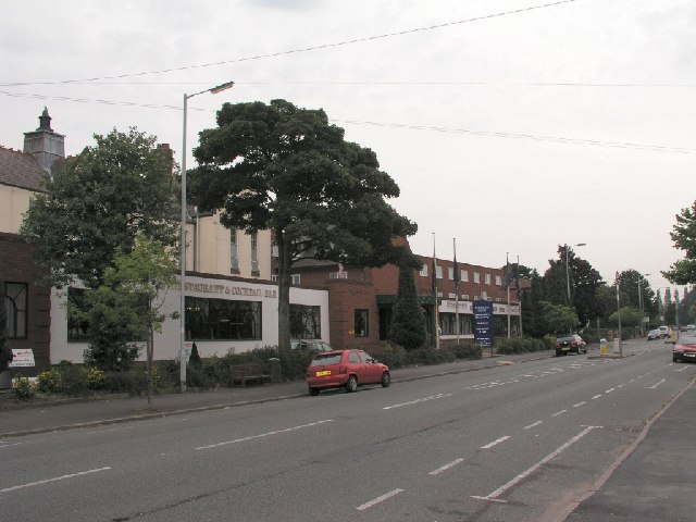
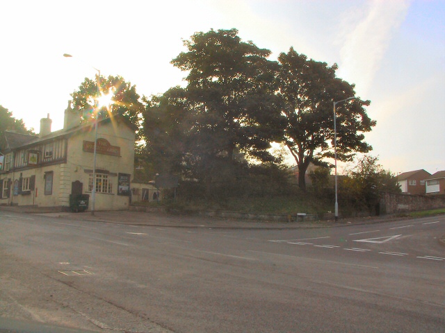
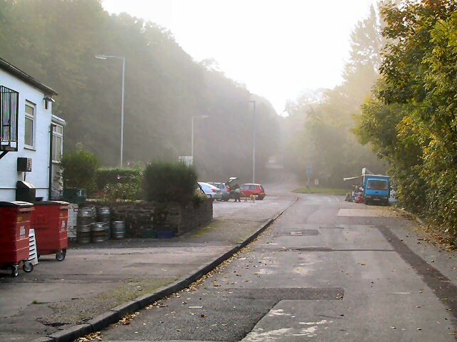
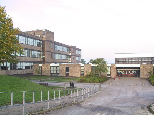
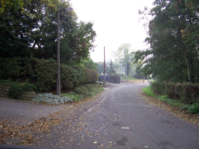
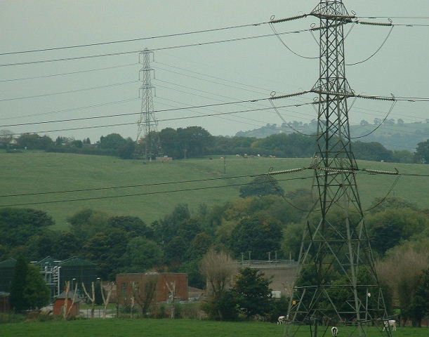
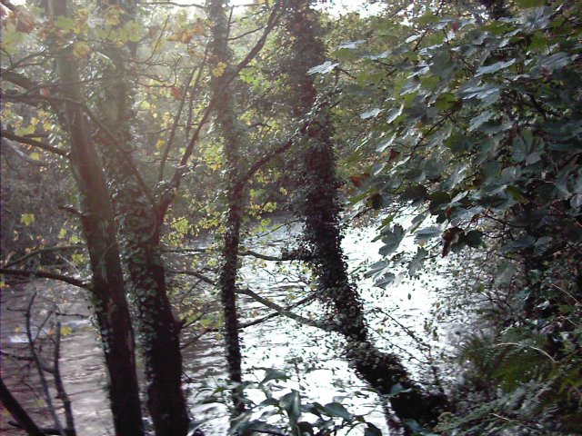
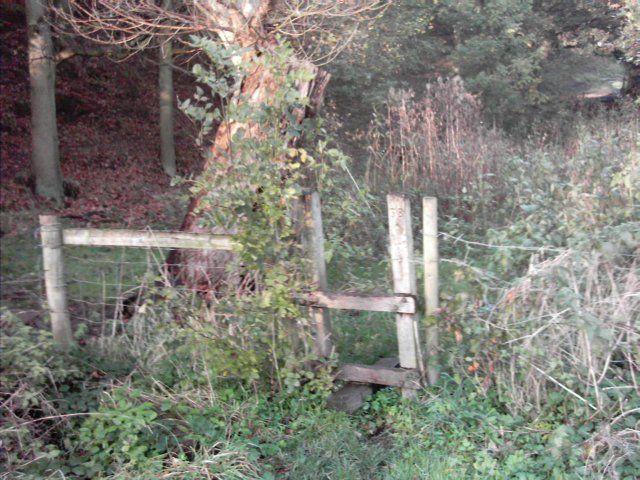
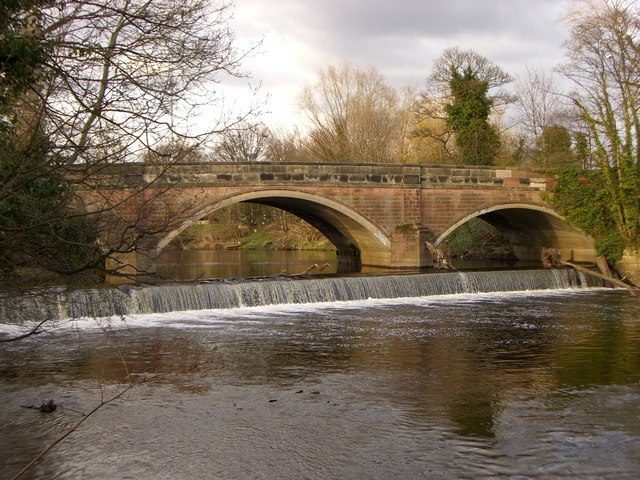
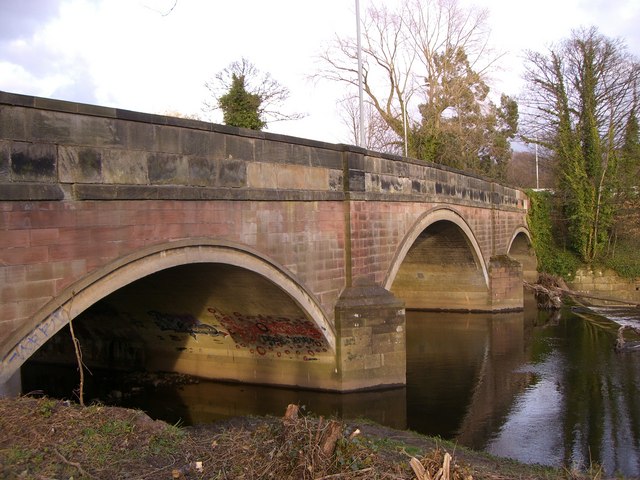
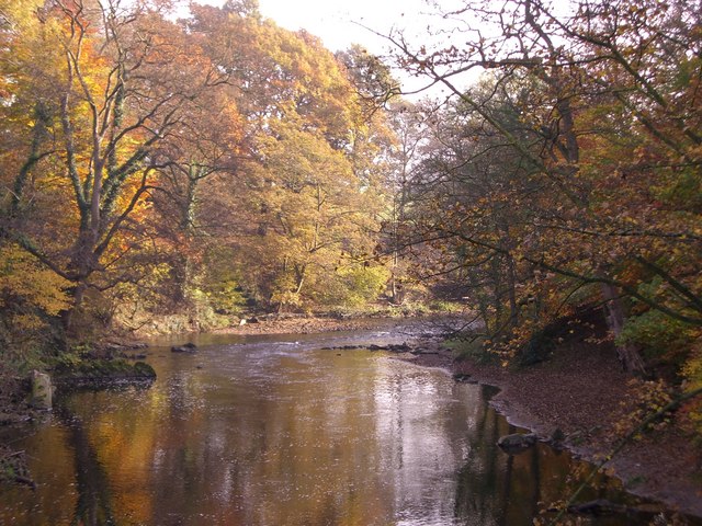
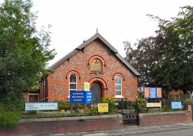
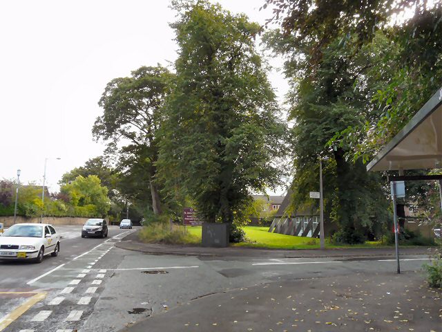
Bunkers Hill Images

Images are sourced within 2km of 53.407187/-2.1012858 or Grid Reference SJ9390. Thanks to Geograph Open Source API. All images are credited.

Britannia Hotel The Britannia Hotel and Conference Centre on Dialstone Lane, Offerton, Stockport SJ911891
Britannia Hotel
The Britannia Hotel and Conference Centre on Dialstone Lane, Offerton, Stockport SJ911891
Sunup at Offerton Green Early morning sun through the trees dazzles those waiting at the bus-stop at the end of Bean Leach Lane.
Sunup at Offerton Green
Early morning sun through the trees dazzles those waiting at the bus-stop at the end of Bean Leach Lane.
Farmers' Market Early Sunday morning assembly of fruit and veg sellers behind the pub on Dooley Lane, Marple.  The mist has not yet burned off.
Farmers' Market
Early Sunday morning assembly of fruit and veg sellers behind the pub on Dooley Lane, Marple. The mist has not yet burned off.
Marple Hall School The Bradshaw Buildings, Marple Hall School.
Marple Hall School
The Bradshaw Buildings, Marple Hall School.
Old Torkington Road Before the new piece of road to the traffic lights was constructed, this section of road joined the A626 near Yew Tree Farm.
Old Torkington Road
Before the new piece of road to the traffic lights was constructed, this section of road joined the A626 near Yew Tree Farm.
Bunkers Hill and Sewage Works Looking over the Goyt valley from the SW
Bunkers Hill and Sewage Works
Looking over the Goyt valley from the SW
River  Goyt Looking downstream from a point on the Goyt Valley Way to the south of Bredbury Green.
River Goyt
Looking downstream from a point on the Goyt Valley Way to the south of Bredbury Green.
Stile A stile on the public footpath from Bredbury Green to the banks of the River Goyt to the east of Stockport.
Stile
A stile on the public footpath from Bredbury Green to the banks of the River Goyt to the east of Stockport.
Weir at Otterspool One of a series of weirs between Otterspool and Marple along the River Goyt.
Weir at Otterspool
One of a series of weirs between Otterspool and Marple along the River Goyt.
Bridge at Otterspool When the bridge was widened the side wall was dismantled and rebuilt as the wall for the new bridge, seen clearly in the photo.
Bridge at Otterspool
When the bridge was widened the side wall was dismantled and rebuilt as the wall for the new bridge, seen clearly in the photo.
River Goyt in Woodbank Park Autumn colours along the River Goyt as it meanders into Stockport.
River Goyt in Woodbank Park
Autumn colours along the River Goyt as it meanders into Stockport.
The Golden Hind On the corner of Lisburne Lane and Marple Road.

<a href="https://www.geograph.org.uk/photo/1477567">SJ9189 : Sign of the Golden Hind</a>
The Golden Hind
On the corner of Lisburne Lane and Marple Road. SJ9189 : Sign of the Golden Hind
Sign of the Golden Hind Sign for the Golden Hind <a href="https://www.geograph.org.uk/photo/1477558">SJ9189 : The Golden Hind</a>.
Sign of the Golden Hind
Sign for the Golden Hind SJ9189 : The Golden Hind.
Chadwell Road A cul-de-sac off Marple Road.
Chadwell Road
A cul-de-sac off Marple Road.
Offerton Methodist Church Originally a Wesleyan Chapel on Marple Road. On the front is a commemorative stone <a href="https://www.geograph.org.uk/photo/1477638">SJ9288 : Wesleyan Chapel AD 1887</a>.
Offerton Methodist Church
Originally a Wesleyan Chapel on Marple Road. On the front is a commemorative stone SJ9288 : Wesleyan Chapel AD 1887.
Wesleyan Chapel AD 1887 Commemorative stone on Offerton Methodist Church <a href="https://www.geograph.org.uk/photo/1477612">SJ9288 : Offerton Methodist Church</a>.
Wesleyan Chapel AD 1887
Commemorative stone on Offerton Methodist Church SJ9288 : Offerton Methodist Church.
St John's Church, Offerton
Marple Road, Offerton The A626 Stockport to Glossop road at the corner of Old Hall Drive near St John's <a href="https://www.geograph.org.uk/photo/1477670">SJ9288 : St John's Church, Offerton</a>.
Marple Road, Offerton
The A626 Stockport to Glossop road at the corner of Old Hall Drive near St John's SJ9288 : St John's Church, Offerton.
Show me another place!

Bunkers Hill is located at Grid Ref: SJ9390 (Lat: 53.407187, Lng: -2.1012858)

Unitary Authority: Stockport

Police Authority: Greater Manchester

What 3 Words

///candle.twigs.goals. Near Bredbury, Manchester

Related Wikis

Chadkirk

Chadkirk is an area in the Metropolitan Borough of Stockport in Greater Manchester, England. It is located between the River Goyt and the Peak Forest Canal...

Elder Mill, Romiley

Elder Mill, Romiley was a cotton spinning mill in Romiley, Stockport, Greater Manchester. It was taken over by the Lancashire Cotton Corporation in the...

Harrytown Hall

Harrytown Hall is a former manor house in Bredbury, Stockport, England. The first hall was built in the 15th century by Harry Bruckshaw. In 1671, it was...

Chadkirk Chapel

Chadkirk Chapel is a restored historic chapel near Romiley in the Metropolitan Borough of Stockport in Greater Manchester, England. It is recorded in...

Nearby Amenities

Located within 500m of 53.407187,-2.1012858
Bus Stop
Bredbury Green, Bredbury Green / near The Ridgeway
Bus: yes
Naptan AtcoCode: 1800SG37901
Naptan Bearing: W
Naptan CommonName: Bredbury Green/The Ridgeway
Naptan Indicator: O/s House 37
Naptan Landmark: HOUSE 37
Naptan NaptanCode: manjgpaw
Naptan PlusbusZoneRef: MNCRPIC
Naptan ShortCommonName: The Ridgeway
Naptan Street: BREDBURY GREEN
Naptan Verified: no
Network: TfGM
Operator: TfGM
Public Transport: platform
Source: naptan_import
Lat/Long: 53.4108713/-2.1044807
Power: tower
Lat/Long: 53.4041771/-2.1051057
Power: tower
Lat/Long: 53.4044529/-2.1001538
Traffic Calming: hump
Lat/Long: 53.407634/-2.1043449
Pub
Spread Eagle
Email: spreadeagle@almond-pubs.co.uk
Image: http://www.almond-pubs.co.uk/sites/default/files/imagecache/full_gallery_image/IMG_5001.JPG
Phone: +44 161 494 5723
Website: https://www.almond-pubs.co.uk/spread-eagle
Lat/Long: 53.4110959/-2.0993717
Post Box
Brand: Royal Mail
Brand Wikidata: Q638098
Brand Wikipedia: en:Royal Mail
Collection Times: Mo-Fr 17:30; Sa 11:30; Su off
Operator: Royal Mail
Operator Wikidata: Q638098
Post Box Type: lamp
Ref: SK6 315
Royal Cypher: EIIR
Royal Cypher Wikidata: Q33102113
Lat/Long: 53.40357/-2.0968249
Traffic Calming: hump
Lat/Long: 53.4088923/-2.1074316
Traffic Calming: hump
Lat/Long: 53.4088956/-2.1065807
Traffic Calming: hump
Lat/Long: 53.4073023/-2.1033965
Bus Stop
Bredbury Green, eastbound The Ridgeway
Bus: yes
Naptan AtcoCode: 1800SGH0481
Naptan Bearing: E
Naptan Street: The Ridgeway
Network: TfGM
Operator: TfGM
Public Transport: platform
Lat/Long: 53.4086082/-2.1048354
Bus Stop
Bredbury Green, NE-bound Overdale Road
Bus: yes
Naptan AtcoCode: 1800SGH2331
Naptan Bearing: NE
Naptan Street: Overdale Road
Network: TfGM
Operator: TfGM
Public Transport: platform
Lat/Long: 53.4101064/-2.0998412
Bus Stop
Bredbury Green, NW-bound Hatherlow
Bus: yes
Naptan AtcoCode: 1800SGH0491
Naptan Bearing: NW
Naptan Street: Hatherlow
Network: TfGM
Operator: TfGM
Public Transport: platform
Lat/Long: 53.4109482/-2.1000656
Bus Stop
Bredbury Green, SE-bound Hatherlow
Bus: yes
Naptan AtcoCode: 1800SGH2491
Network: TfGM
Operator: TfGM
Public Transport: platform
Lat/Long: 53.4110248/-2.0999061
Bus Stop
Bredbury Green, southbound Overdale Road
Bus: yes
Network: TfGM
Operator: TfGM
Public Transport: platform
Lat/Long: 53.4100253/-2.0997575
Bus Stop
Bredbury Green, westbound The Ridgeway
Bus: yes
Naptan AtcoCode: 1800SGH2321
Naptan Bearing: W
Naptan Street: The Ridgeway
Network: TfGM
Operator: TfGM
Public Transport: platform
Lat/Long: 53.4085289/-2.1048269
Bus Stop
Bredbury Green, Bredbury Green / opposite The Ridgeway
Bus: yes
Network: TfGM
Operator: TfGM
Public Transport: platform
Lat/Long: 53.4109507/-2.1048931
Barrier: cycle_barrier
Lat/Long: 53.4109255/-2.0984293
Barrier: cycle_barrier
Lat/Long: 53.4112904/-2.0985242
The data included in this document is from www.openstreetmap.org. The data is made available under ODbL.

Have you been to Bunkers Hill?

Leave your review of Bunkers Hill below (or comments, questions and feedback).