Tang
Settlement in Cheshire
England
Tang
Tang is a small village located in the county of Cheshire, England. Situated approximately 4 miles south of the town of Nantwich, it is part of the civil parish of Audlem. With a population of around 500 residents, Tang is known for its picturesque countryside and charming rural setting.
The village is characterized by its traditional English architecture, with many historic buildings and cottages still standing. The local church, St. Andrew's, is a prominent feature of Tang, dating back to the 12th century and serving as a testament to the village's long history.
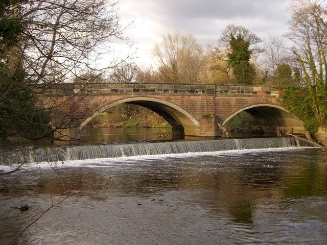
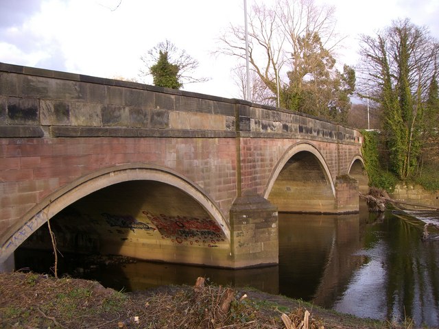
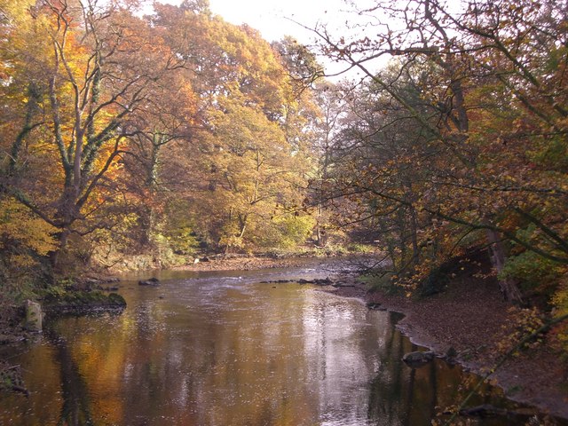
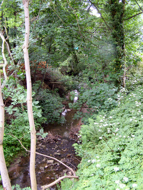
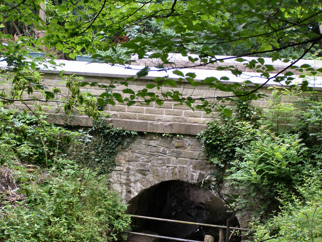
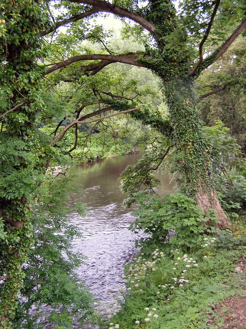
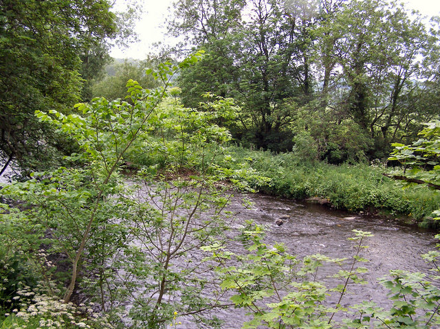
One of the notable attractions in Tang is the Shropshire Union Canal, which passes through the village. This waterway provides opportunities for leisurely walks, cycling, and boating, allowing visitors to enjoy the tranquil beauty of the surrounding countryside.
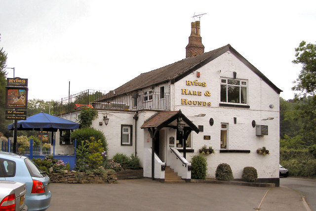
Despite its small size, Tang offers a range of amenities for its residents and visitors. The village has a local pub, The Swan Inn, which serves as a gathering place for locals and visitors alike. There is also a village hall that hosts community events and activities.
Tang's proximity to Nantwich provides residents with access to a wider range of services and amenities, including shops, schools, and healthcare facilities. The village also benefits from excellent transportation links, with the nearby A529 road connecting it to the rest of Cheshire and beyond.
In summary, Tang is a charming and idyllic village in Cheshire, offering a peaceful countryside setting and a strong sense of community. Its historic buildings, picturesque surroundings, and convenient location make it an attractive place to live or visit in the heart of rural England.
If you have any feedback on the listing, please let us know in the comments section below.
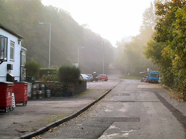
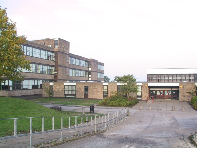
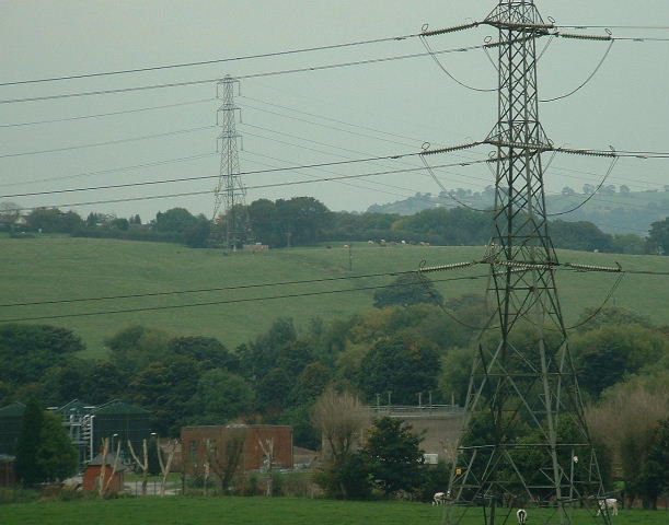
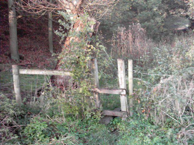
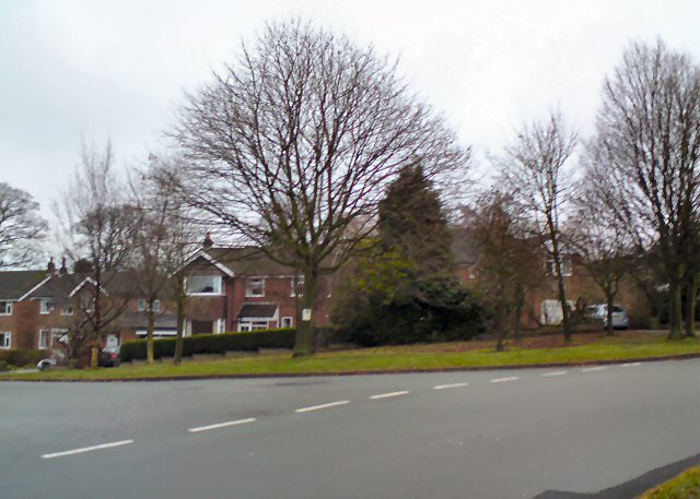
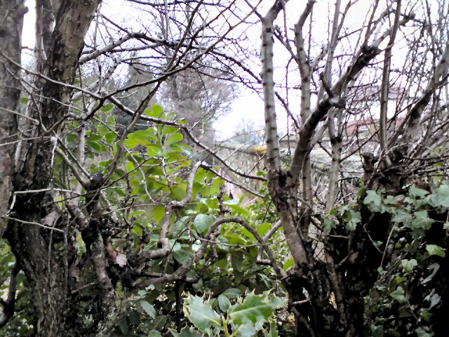
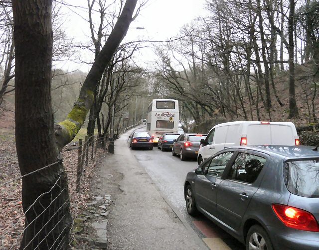
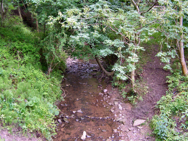
Tang Images
Images are sourced within 2km of 53.412613/-2.093243 or Grid Reference SJ9390. Thanks to Geograph Open Source API. All images are credited.

Tang is located at Grid Ref: SJ9390 (Lat: 53.412613, Lng: -2.093243)
Unitary Authority: Stockport
Police Authority: Greater Manchester
What 3 Words
///even.crazy.scenes. Near Bredbury, Manchester
Nearby Locations
Related Wikis

Elder Mill, Romiley
Elder Mill, Romiley was a cotton spinning mill in Romiley, Stockport, Greater Manchester. It was taken over by the Lancashire Cotton Corporation in the...
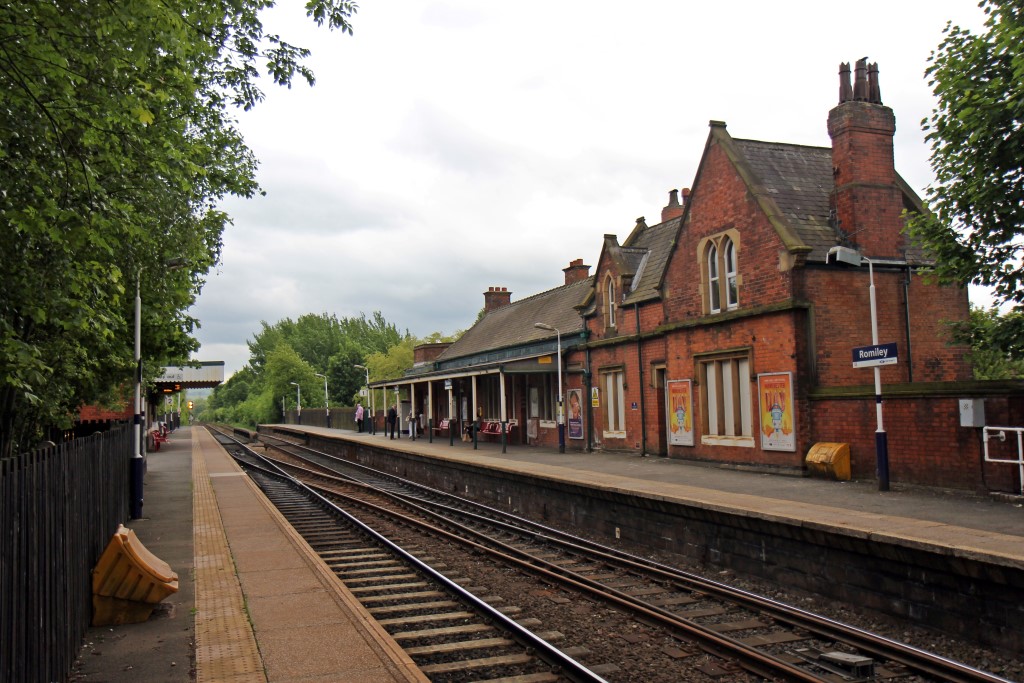
Romiley railway station
Romiley railway station serves Romiley, in the Metropolitan Borough of Stockport, Greater Manchester, England. == History == The station was built by the...

Chadkirk Chapel
Chadkirk Chapel is a restored historic chapel near Romiley in the Metropolitan Borough of Stockport in Greater Manchester, England. It is recorded in...

Romiley
Romiley is a village in the Metropolitan Borough of Stockport, Greater Manchester, England. Historically part of Cheshire, it borders Marple, Bredbury...

Chadkirk
Chadkirk is an area in the Metropolitan Borough of Stockport in Greater Manchester, England. It is located between the River Goyt and the Peak Forest Canal...
Harrytown Catholic High School
Harrytown Catholic High School is a voluntary aided Catholic secondary school, situated in Romiley near Stockport, England. Designated as a Specialist...
Harrytown Hall
Harrytown Hall is a former manor house in Bredbury, Stockport, England. The first hall was built in the 15th century by Harry Bruckshaw. In 1671, it was...
Werneth School
Werneth School (formerly Bredbury Comprehensive School) is a coeducational secondary school located in Bredbury near Stockport, Greater Manchester, England...
Nearby Amenities
Located within 500m of 53.412613,-2.093243Have you been to Tang?
Leave your review of Tang below (or comments, questions and feedback).