Tang
Settlement in Yorkshire Harrogate
England
Tang
Tang is a small village located in the picturesque county of Yorkshire, England. Situated in the North Yorkshire Moors National Park, Tang is known for its stunning natural beauty and tranquil surroundings. The village is nestled amidst rolling hills, green pastures, and dense forests, making it a popular destination for nature lovers and outdoor enthusiasts.
With a population of approximately 200 residents, Tang retains its charming rural character. The village is dotted with traditional stone cottages, giving it a quaint and idyllic feel. The local community is tight-knit and friendly, welcoming visitors with open arms.
Tang offers a range of recreational activities for locals and tourists alike. The surrounding area is a haven for hikers and cyclists, with a network of well-maintained trails that wind through the breathtaking Yorkshire countryside. The village is also home to several equestrian centers, attracting horse enthusiasts who can explore the area on horseback.
For history enthusiasts, Tang has a rich heritage dating back centuries. The nearby ruins of an ancient castle provide a glimpse into the area's medieval past. In addition, there are several stately homes and manor houses in the vicinity, offering visitors a chance to explore the region's architectural history.
While Tang is a peaceful retreat, it is not far from larger towns and cities. The bustling market town of Whitby is within easy reach, offering a range of shops, restaurants, and attractions. Overall, Tang is a hidden gem in the heart of Yorkshire, offering a perfect blend of natural beauty, history, and tranquility.
If you have any feedback on the listing, please let us know in the comments section below.
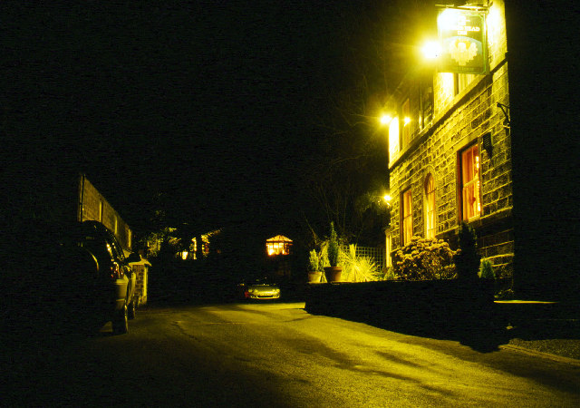
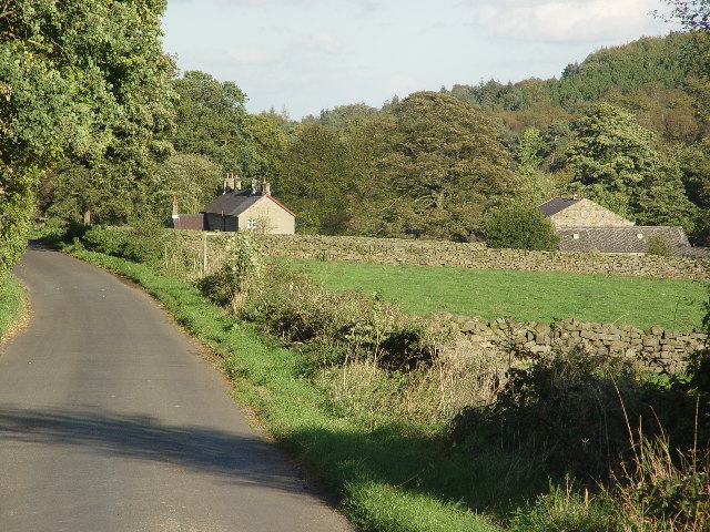
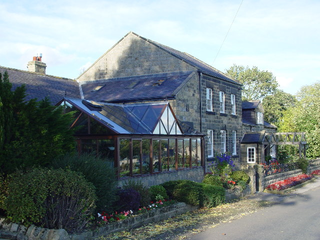
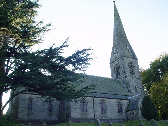
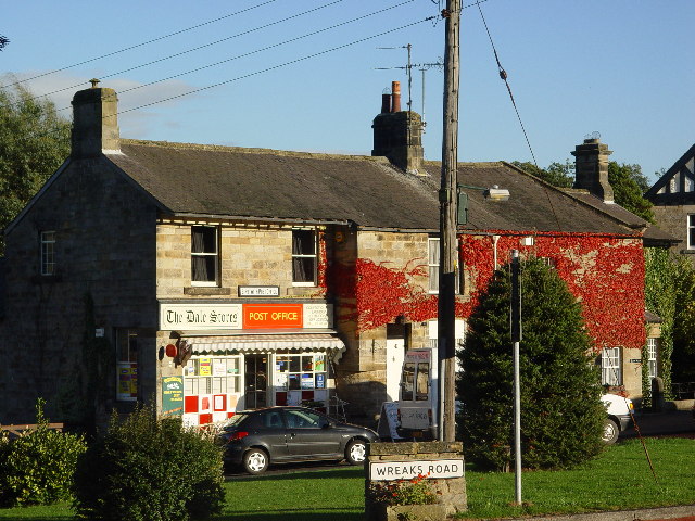
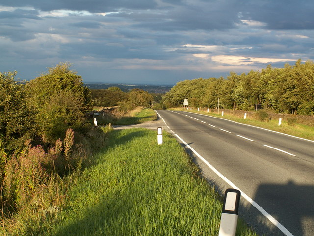
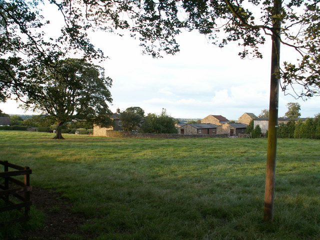
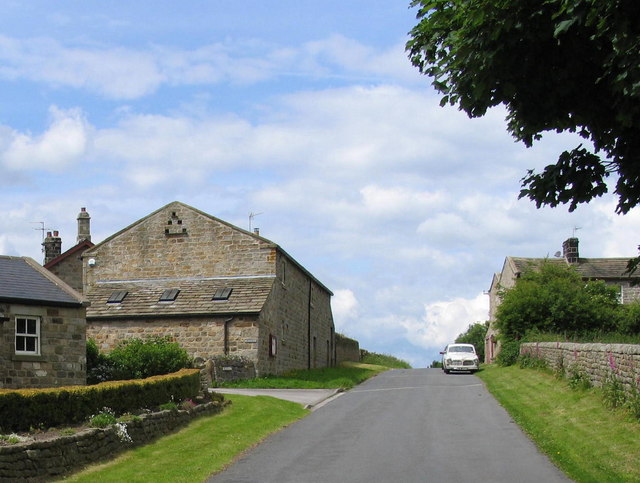
Tang Images
Images are sourced within 2km of 54.015236/-1.644078 or Grid Reference SE2357. Thanks to Geograph Open Source API. All images are credited.


Tang is located at Grid Ref: SE2357 (Lat: 54.015236, Lng: -1.644078)
Division: West Riding
Administrative County: North Yorkshire
District: Harrogate
Police Authority: North Yorkshire
What 3 Words
///path.masterful.noodle. Near Harrogate, North Yorkshire
Nearby Locations
Related Wikis
Felliscliffe
Felliscliffe is a civil parish in North Yorkshire, England, in Nidderdale, Borough of Harrogate. The population of the civil parish at the 2011 census...

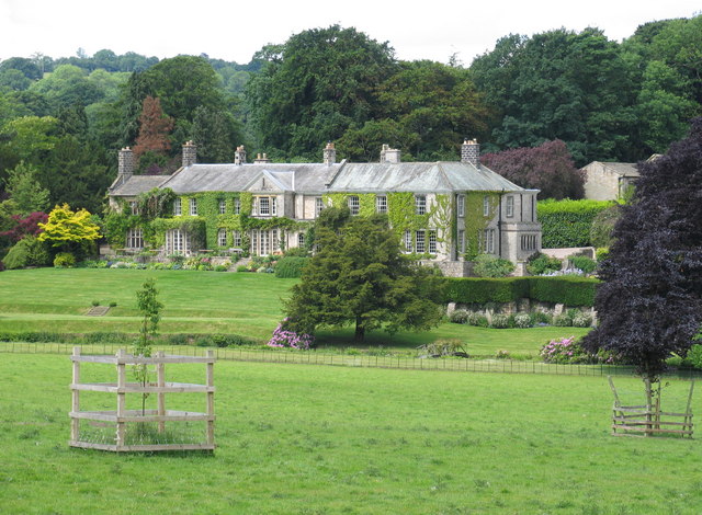
Swarcliffe Hall
Swarcliffe Hall is a large hall that was constructed in 1800 in Birstwith, near Harrogate, England. The current house was built by John Greenwood in 1850...
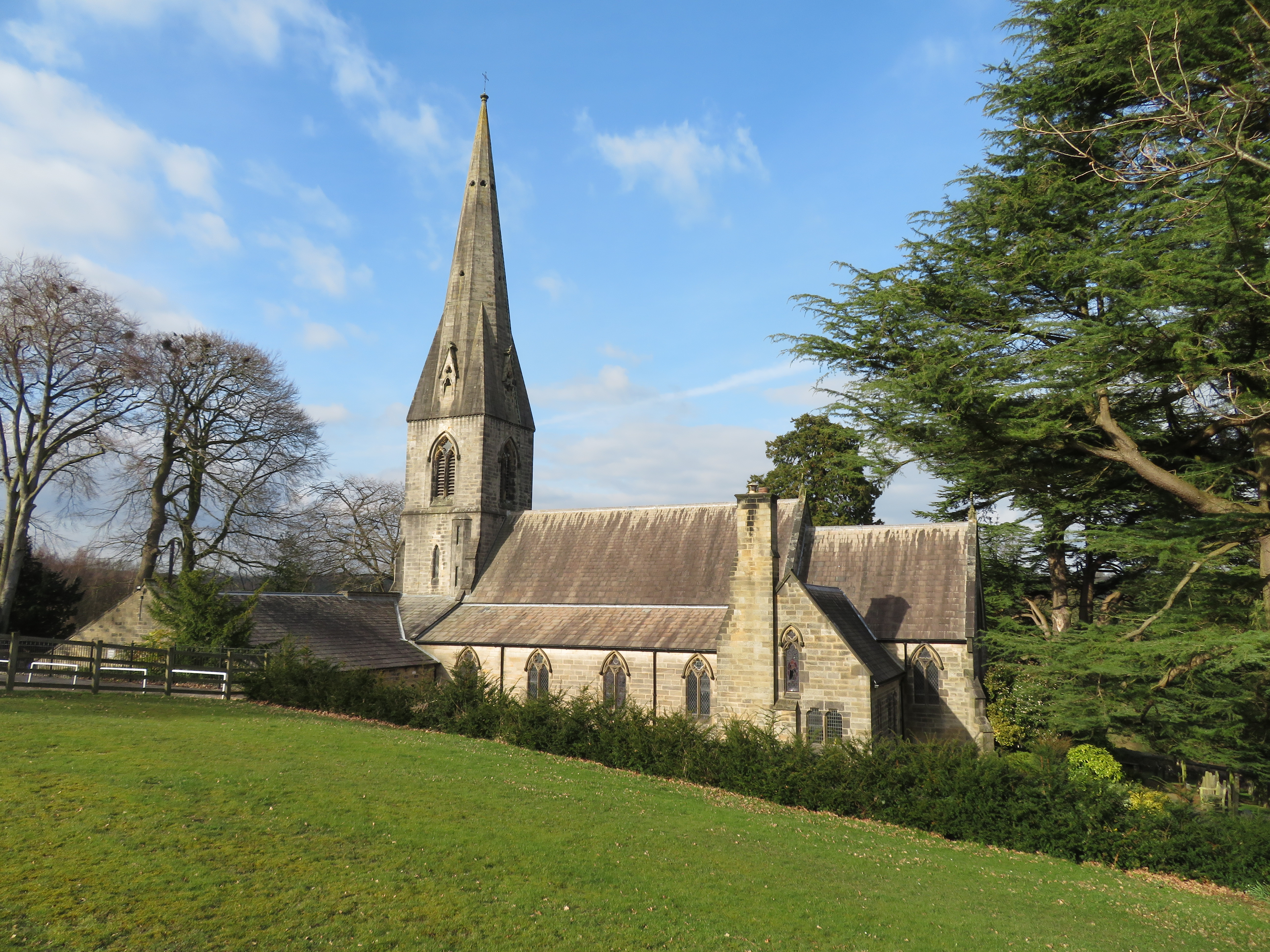
St James' Church, Birstwith
St James' Church is the parish church of Birstwith, a village in North Yorkshire in England. The church was commissioned by John Frederick Greenwood, a...

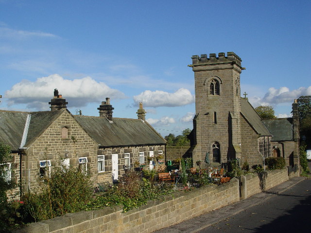
Birstwith
Birstwith is a village and civil parish in the Harrogate district of North Yorkshire, England. It is part of the Nidderdale, and is situated on the River...
Nearby Amenities
Located within 500m of 54.015236,-1.644078Have you been to Tang?
Leave your review of Tang below (or comments, questions and feedback).