Wribbenhall
Settlement in Worcestershire Wyre Forest
England
Wribbenhall
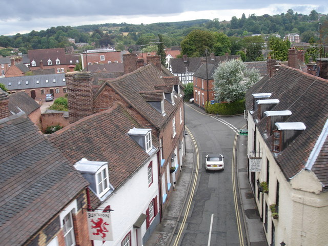
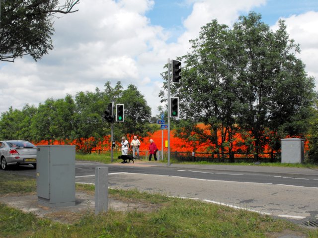
Wribbenhall is a small village located in the county of Worcestershire, England. Situated on the banks of the River Severn, it lies approximately one mile south of the town of Bewdley. With a population of around 1,000 residents, Wribbenhall retains its rural charm and offers a peaceful and picturesque setting.
The village is known for its rich history, dating back to the medieval period. The prominent St. Michael and All Angels Church, constructed in the 14th century, is a notable architectural landmark and a testament to the area's historical significance. The church's imposing tower is a prominent feature on the village skyline.
Wribbenhall benefits from its proximity to the River Severn, which has played a significant role in the village's development. The river offers opportunities for recreational activities such as boating, fishing, and riverside walks. Furthermore, the picturesque riverside location attracts visitors who enjoy the tranquility and natural beauty of the area.
Despite its small size, Wribbenhall boasts a close-knit community and a vibrant social scene. The village has a local pub, The Black Boy, where residents and visitors can enjoy a drink and traditional pub food. Additionally, a range of local events and activities, including fairs and festivals, bring the community together throughout the year.
Wribbenhall's proximity to Bewdley provides residents with access to a wider range of amenities, including shops, schools, and healthcare facilities. The village is well-connected to surrounding areas by road and public transport, making it an ideal location for those seeking a peaceful rural lifestyle with easy access to larger towns and cities.
If you have any feedback on the listing, please let us know in the comments section below.
Wribbenhall Images
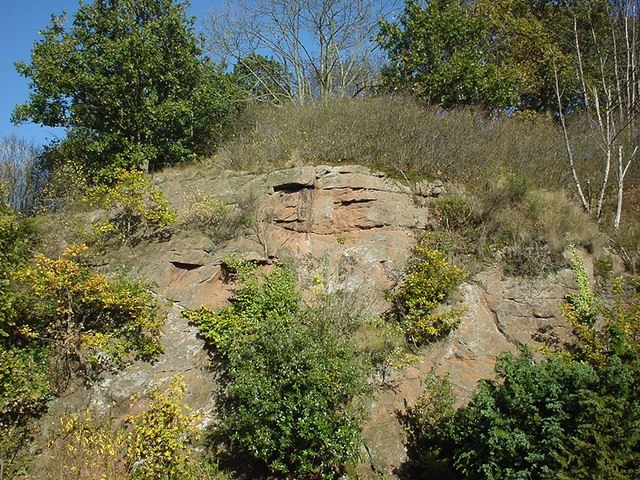
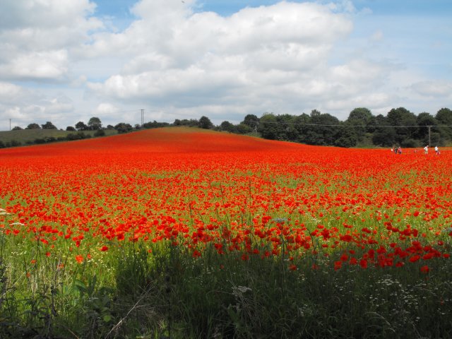
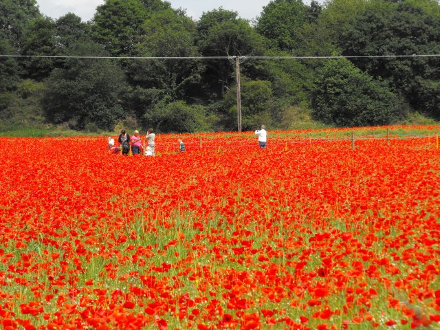
Images are sourced within 2km of 52.378507/-2.3064255 or Grid Reference SO7975. Thanks to Geograph Open Source API. All images are credited.
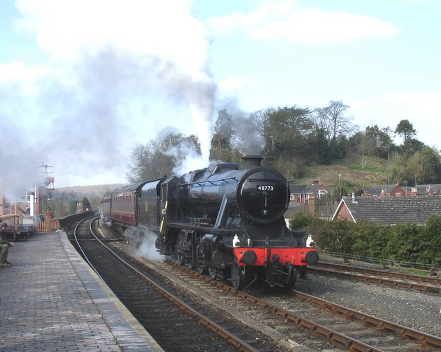

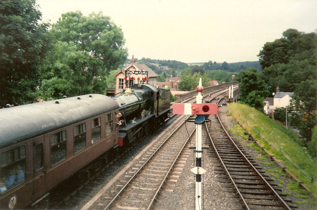
![Trains Pass at Bewdley BR Standard Pacific No 71000 "Duke of Gloucester" [left] and 'Manor' class 4-6-0 No 7812 "Erlestoke Manor" pass at Bewdley station.](https://s0.geograph.org.uk/geophotos/02/39/67/2396756_e38af8eb.jpg)


Wribbenhall is located at Grid Ref: SO7975 (Lat: 52.378507, Lng: -2.3064255)
Administrative County: Worcestershire
District: Wyre Forest
Police Authority: West Mercia
What 3 Words
///speared.gushes.rules. Near Bewdley, Worcestershire
Nearby Locations
Related Wikis

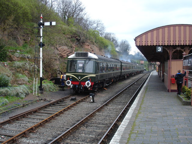
Bewdley railway station
Bewdley railway station serves the town of Bewdley in Worcestershire, England. Until 2014, it was the administrative headquarters of the Severn Valley...
Bewdley Bridge
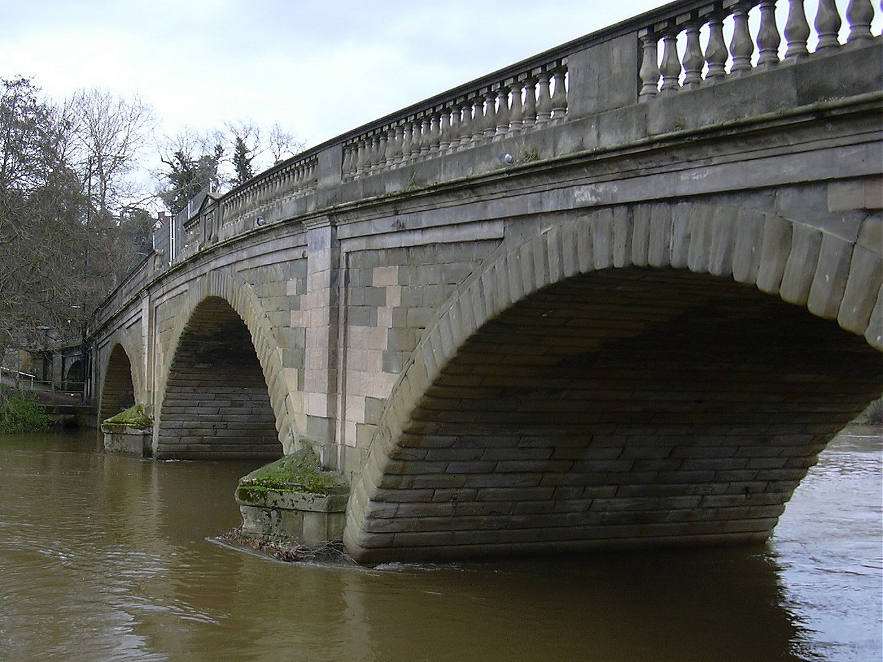
Bewdley Bridge is a three-span masonry arch bridge over the River Severn at Bewdley, Worcestershire, designed by civil engineer Thomas Telford. The two...

Bewdley Rowing Club
Bewdley Rowing Club is a rowing club on the River Severn, based at Riverside North, Wribbenhall, Bewdley, Wyre Forest District, West Midlands. == Club... ==

Bewdley
Bewdley ( pronunciation) is a town and civil parish in the Wyre Forest District in Worcestershire, England on the banks of the River Severn. It is in the...
Nearby Amenities
Located within 500m of 52.378507,-2.3064255Have you been to Wribbenhall?
Leave your review of Wribbenhall below (or comments, questions and feedback).