Rose Cottage Pool
Lake, Pool, Pond, Freshwater Marsh in Worcestershire Wyre Forest
England
Rose Cottage Pool
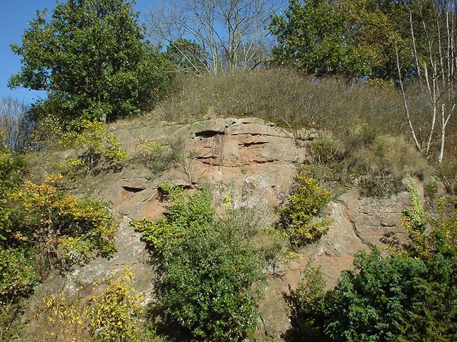
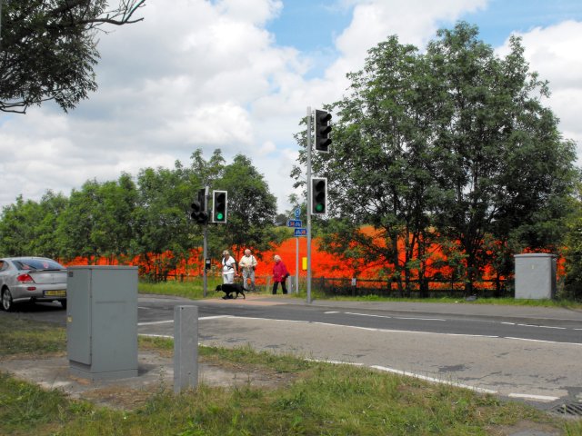
Rose Cottage Pool is a charming freshwater marsh located in Worcestershire, England. Nestled in the idyllic countryside, this natural gem covers an area of approximately 2 acres. The pool is surrounded by lush vegetation, creating a picturesque setting that attracts both locals and tourists alike.
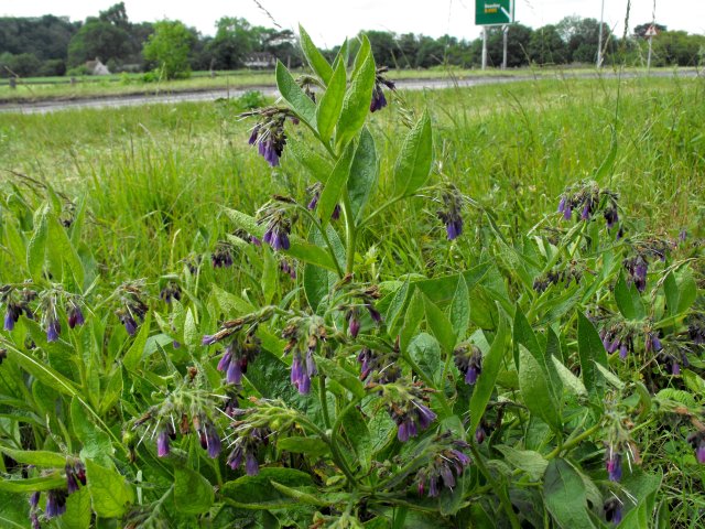
The pool itself is a tranquil body of water, known for its crystal-clear and calm surface. It is home to various aquatic plants, including water lilies and reeds, which thrive in its nutrient-rich waters. These plants not only enhance the pool's natural beauty but also provide a habitat for a diverse range of wildlife.
Birdwatchers flock to Rose Cottage Pool to catch a glimpse of the numerous avian species that call this place home or use it as a stopover during migration. Common sightings include mallards, tufted ducks, and great crested grebes. Additionally, the pool attracts various insects, such as dragonflies and damselflies, which flit around the water's edge.
Surrounding the pool, visitors can find a well-maintained footpath that offers a leisurely stroll around its perimeter. This path provides an opportunity to observe the pool from different angles and appreciate the serene atmosphere. There are also benches strategically placed along the path, allowing visitors to sit and take in the natural beauty of the surroundings.
Rose Cottage Pool is a hidden gem that offers a peaceful escape from the hustle and bustle of everyday life. Whether it's birdwatching, photography, or simply enjoying the tranquility, this freshwater marsh is a must-visit destination for nature enthusiasts and those seeking a moment of serenity in Worcestershire.
If you have any feedback on the listing, please let us know in the comments section below.
Rose Cottage Pool Images
Images are sourced within 2km of 52.376072/-2.2990785 or Grid Reference SO7975. Thanks to Geograph Open Source API. All images are credited.

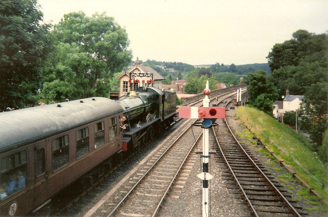
![Trains Pass at Bewdley BR Standard Pacific No 71000 "Duke of Gloucester" [left] and 'Manor' class 4-6-0 No 7812 "Erlestoke Manor" pass at Bewdley station.](https://s0.geograph.org.uk/geophotos/02/39/67/2396756_e38af8eb.jpg)


Rose Cottage Pool is located at Grid Ref: SO7975 (Lat: 52.376072, Lng: -2.2990785)
Administrative County: Worcestershire
District: Wyre Forest
Police Authority: West Mercia
What 3 Words
///grinders.test.tries. Near Bewdley, Worcestershire
Nearby Locations
Related Wikis

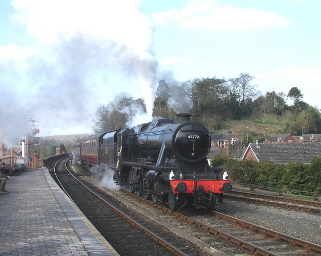
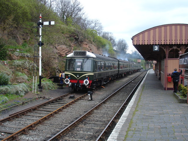
Bewdley railway station
Bewdley railway station serves the town of Bewdley in Worcestershire, England. Until 2014, it was the administrative headquarters of the Severn Valley...

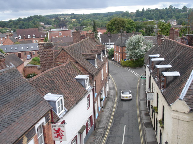
The Bewdley School
The Bewdley School is a senior school and sixth form in Bewdley, serving north-west Worcestershire, England. Its campus is very close to the River Severn...

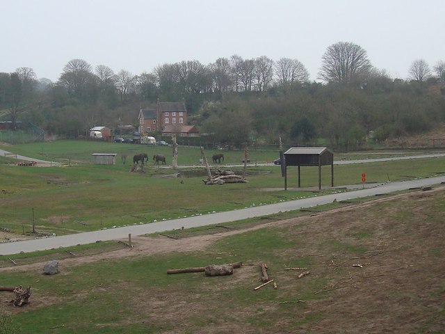
West Midland Safari Park
West Midland Safari and Leisure Park is a safari park located in Bewdley in Worcestershire, England. It was opened under the name of West Midland Safari...
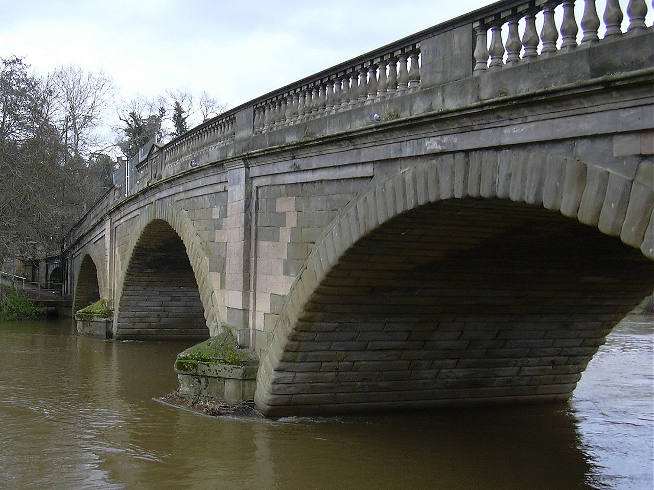
Bewdley Bridge
Bewdley Bridge is a three-span masonry arch bridge over the River Severn at Bewdley, Worcestershire, designed by civil engineer Thomas Telford. The two...
Nearby Amenities
Located within 500m of 52.376072,-2.2990785Have you been to Rose Cottage Pool?
Leave your review of Rose Cottage Pool below (or comments, questions and feedback).