Catchems End
Settlement in Worcestershire Wyre Forest
England
Catchems End
Catchems End is a small village located in Worcestershire, England. Situated approximately 5 miles north of Kidderminster, it is surrounded by picturesque countryside and offers a peaceful and rural setting for its residents. The name "Catchems End" is believed to have originated from a combination of the Old English word "catchem," meaning a small piece of land, and "end," indicating its location on the outskirts or boundary of the region.
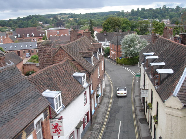
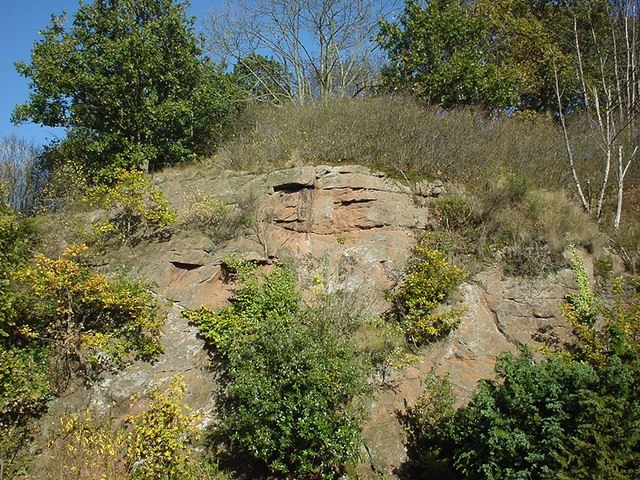
The village is renowned for its quaint charm and idyllic beauty. It features a range of traditional cottages, some dating back to the 17th century, which add to its historical appeal. The surrounding landscape is dominated by rolling hills, meadows, and patches of woodland, making it a popular destination for nature lovers and outdoor enthusiasts.
Despite its small size, Catchems End boasts a strong sense of community spirit. The village has a local primary school, a village hall, and a small but welcoming pub that serves as a gathering place for residents. Additionally, there are several footpaths and bridleways that crisscross the area, providing opportunities for leisurely walks and exploring the countryside.
While Catchems End may lack the amenities of larger towns, its proximity to nearby Kidderminster ensures that residents have access to a wider range of services and facilities. This allows the village to maintain its peaceful and rural character while still offering the convenience of urban amenities just a short distance away.
Overall, Catchems End is a charming and close-knit village that offers a tranquil and picturesque lifestyle for its residents, making it an ideal place for those seeking a peaceful retreat in the heart of Worcestershire.
If you have any feedback on the listing, please let us know in the comments section below.
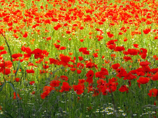
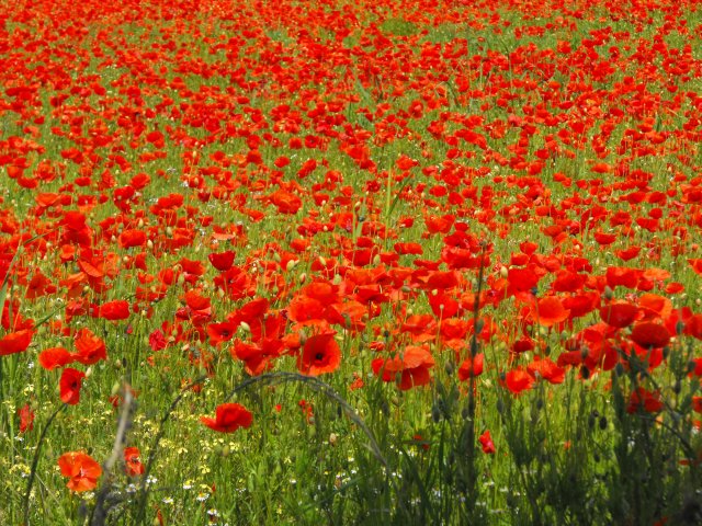
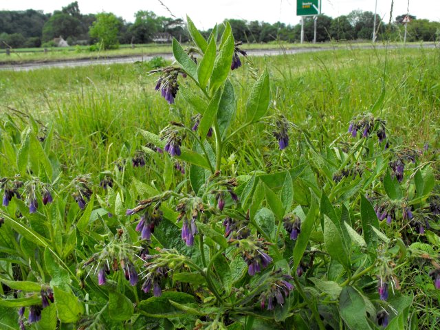
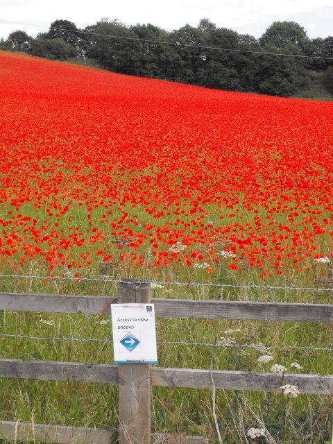
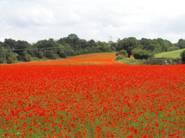
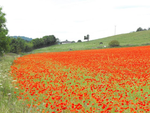
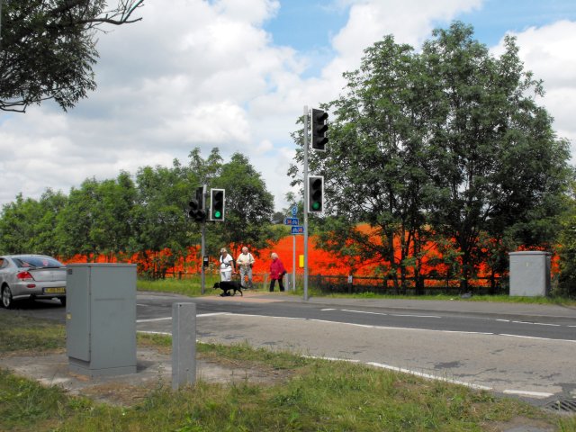
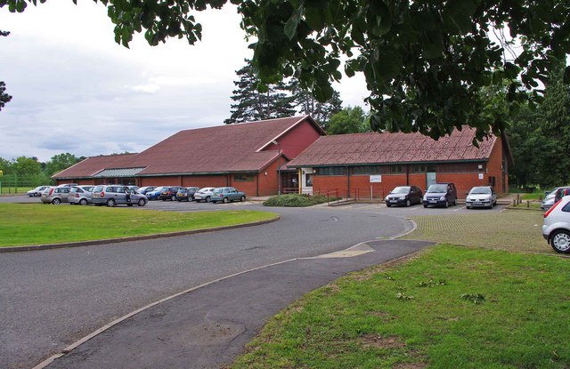
Catchems End Images
Images are sourced within 2km of 52.380904/-2.299526 or Grid Reference SO7975. Thanks to Geograph Open Source API. All images are credited.

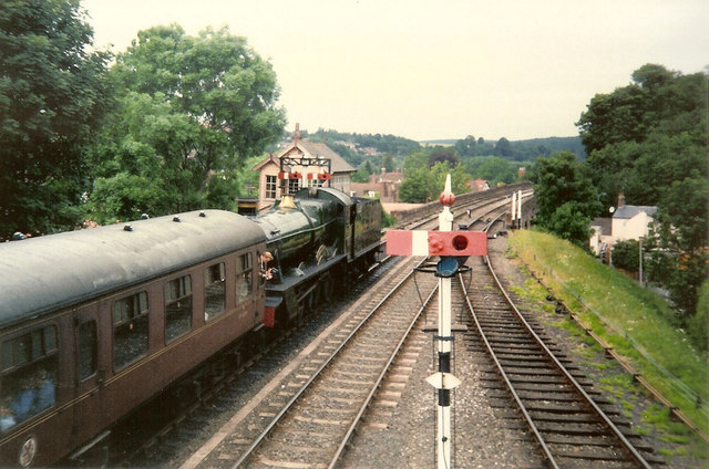
![Trains Pass at Bewdley BR Standard Pacific No 71000 "Duke of Gloucester" [left] and 'Manor' class 4-6-0 No 7812 "Erlestoke Manor" pass at Bewdley station.](https://s0.geograph.org.uk/geophotos/02/39/67/2396756_e38af8eb.jpg)
Catchems End is located at Grid Ref: SO7975 (Lat: 52.380904, Lng: -2.299526)
Administrative County: Worcestershire
District: Wyre Forest
Police Authority: West Mercia
What 3 Words
///charge.zones.corrects. Near Bewdley, Worcestershire
Nearby Locations
Related Wikis

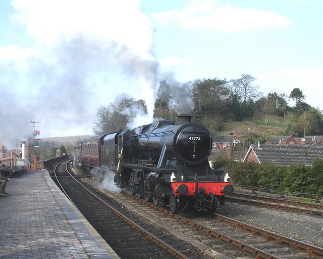
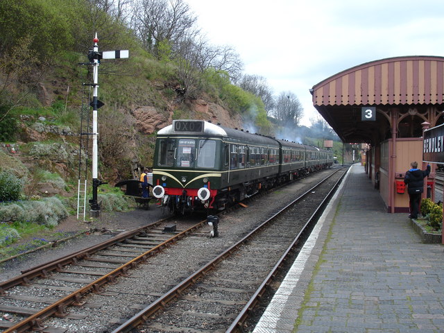
Bewdley railway station
Bewdley railway station serves the town of Bewdley in Worcestershire, England. Until 2014, it was the administrative headquarters of the Severn Valley...
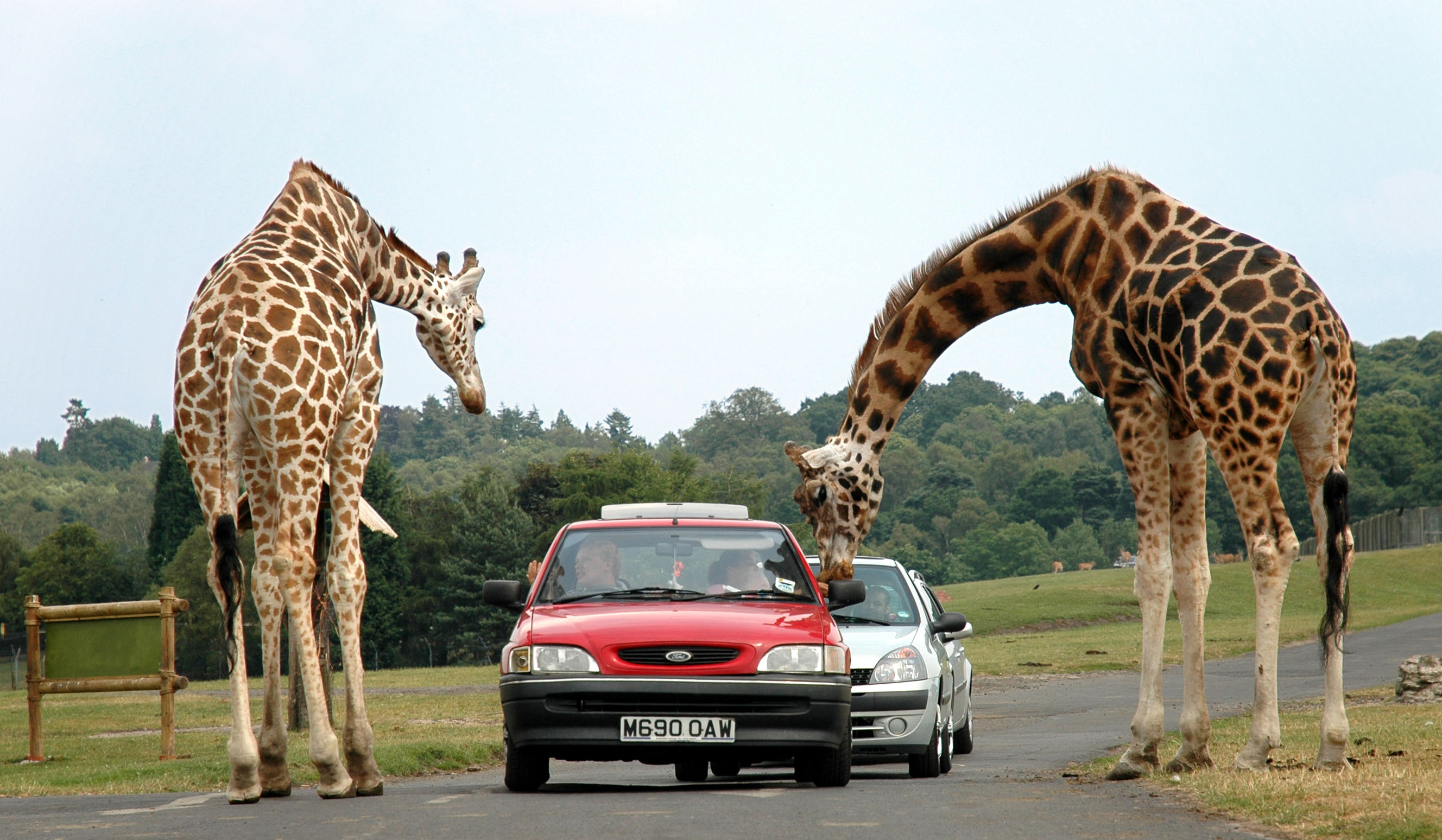
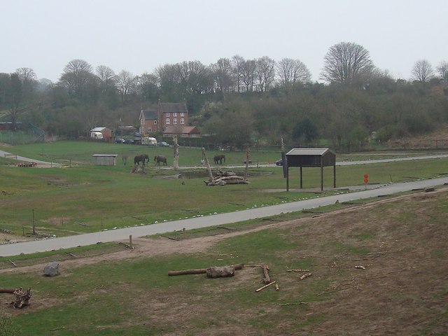
West Midland Safari Park
West Midland Safari and Leisure Park is a safari park located in Bewdley in Worcestershire, England. It was opened under the name of West Midland Safari...
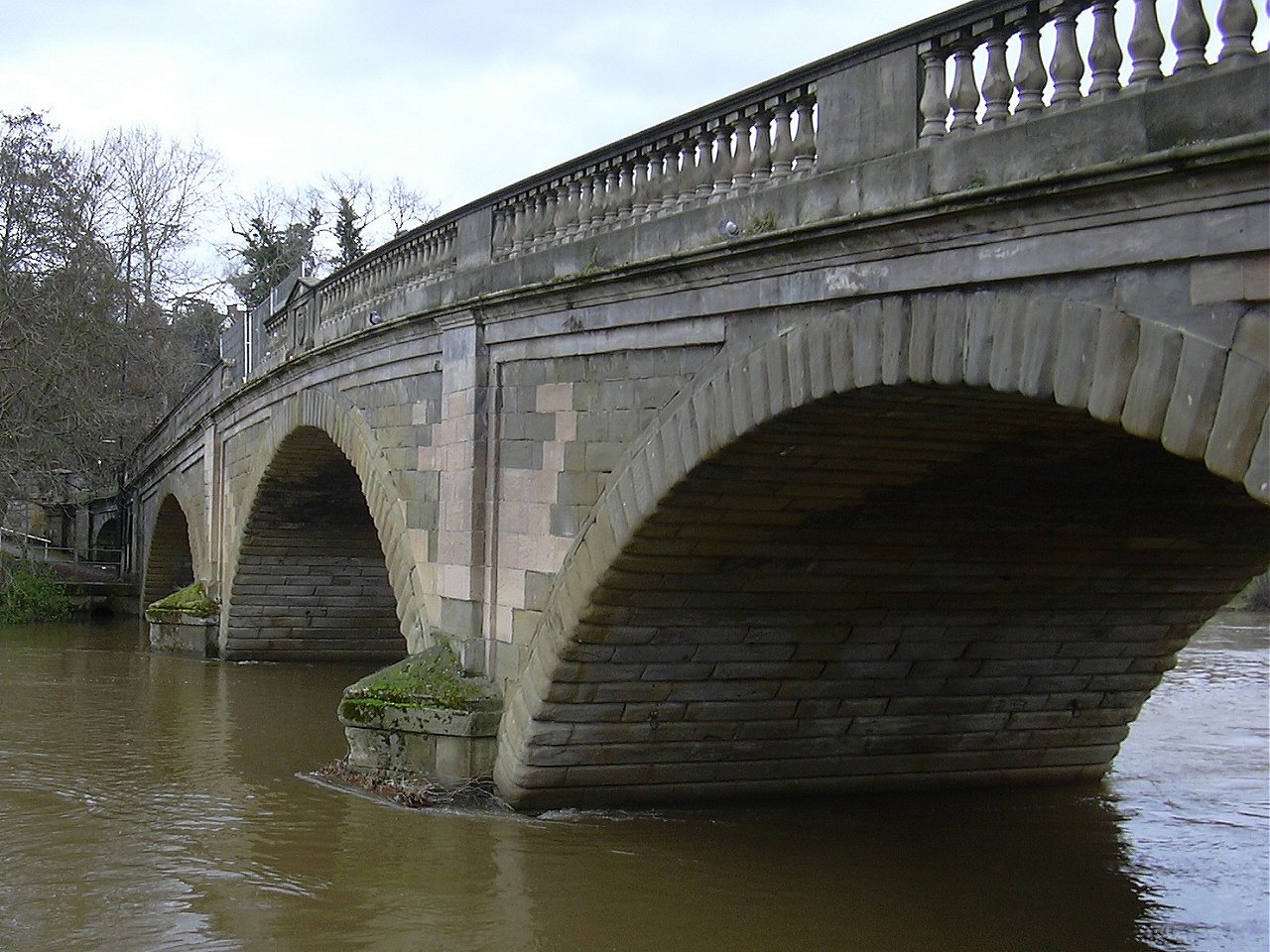
Bewdley Bridge
Bewdley Bridge is a three-span masonry arch bridge over the River Severn at Bewdley, Worcestershire, designed by civil engineer Thomas Telford. The two...

The Bewdley School
The Bewdley School is a senior school and sixth form in Bewdley, serving north-west Worcestershire, England. Its campus is very close to the River Severn...
Nearby Amenities
Located within 500m of 52.380904,-2.299526Have you been to Catchems End?
Leave your review of Catchems End below (or comments, questions and feedback).