Sandbourne Wood
Wood, Forest in Worcestershire Wyre Forest
England
Sandbourne Wood
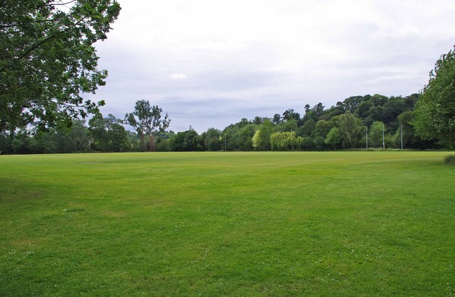
Sandbourne Wood is a picturesque woodland located in Worcestershire, England. It covers an area of approximately 150 acres and is a popular destination for nature enthusiasts and outdoor enthusiasts alike. The wood is situated near the village of Sandbourne, hence its name, and is surrounded by a diverse range of habitats and landscapes.
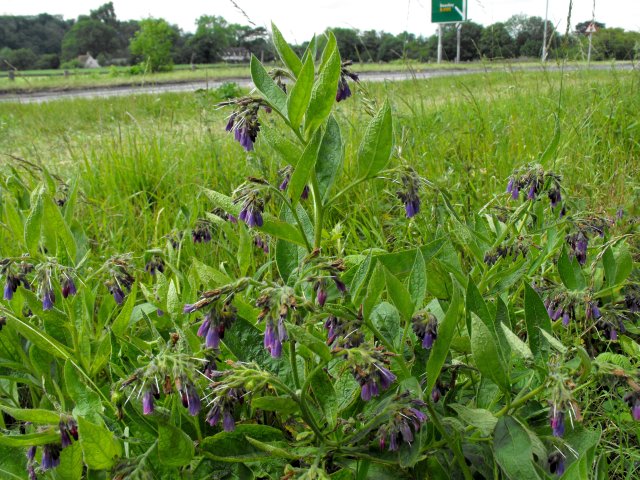
The woodland is primarily composed of broadleaf trees, including oak, beech, and ash, which create a dense canopy that provides shade and shelter for a variety of wildlife. The forest floor is covered in a lush carpet of ferns, mosses, and wildflowers, adding to its natural beauty.
Sandbourne Wood is home to a rich assortment of fauna, including deer, badgers, foxes, and a wide variety of bird species. Birdwatchers flock to the area to catch a glimpse of the woodpeckers, owls, and rare migratory birds that frequent the wood.
There are several well-maintained trails and footpaths that wind through the wood, allowing visitors to explore its beauty on foot or by bike. These paths offer stunning views of the surrounding countryside and provide an opportunity to immerse oneself in the tranquility of nature.
In addition to its natural charm, Sandbourne Wood also offers recreational facilities such as picnic areas and designated camping spots, making it an ideal destination for families and outdoor enthusiasts looking to escape the hustle and bustle of city life.
Overall, Sandbourne Wood is a haven of natural beauty and biodiversity, offering visitors a chance to connect with nature and enjoy the peacefulness of the Worcestershire countryside.
If you have any feedback on the listing, please let us know in the comments section below.
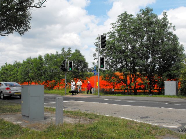
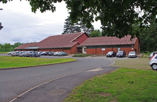
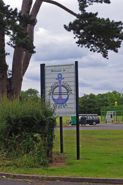
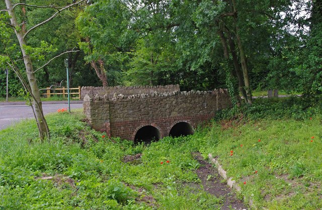
Sandbourne Wood Images
Images are sourced within 2km of 52.374655/-2.3012576 or Grid Reference SO7975. Thanks to Geograph Open Source API. All images are credited.

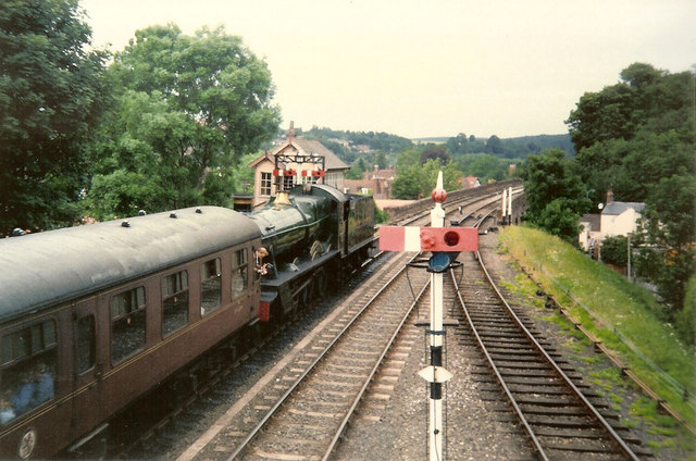
![Trains Pass at Bewdley BR Standard Pacific No 71000 "Duke of Gloucester" [left] and 'Manor' class 4-6-0 No 7812 "Erlestoke Manor" pass at Bewdley station.](https://s0.geograph.org.uk/geophotos/02/39/67/2396756_e38af8eb.jpg)


Sandbourne Wood is located at Grid Ref: SO7975 (Lat: 52.374655, Lng: -2.3012576)
Administrative County: Worcestershire
District: Wyre Forest
Police Authority: West Mercia
What 3 Words
///judges.debit.liquid. Near Bewdley, Worcestershire
Nearby Locations
Related Wikis

Bewdley railway station
Bewdley railway station serves the town of Bewdley in Worcestershire, England. Until 2014, it was the administrative headquarters of the Severn Valley...

The Bewdley School
The Bewdley School is a senior school and sixth form in Bewdley, serving north-west Worcestershire, England. Its campus is very close to the River Severn...
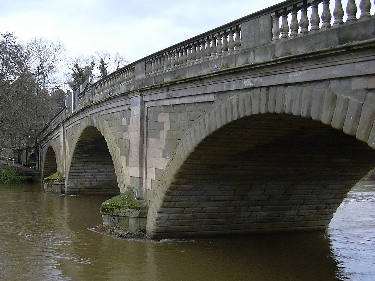
Bewdley Bridge
Bewdley Bridge is a three-span masonry arch bridge over the River Severn at Bewdley, Worcestershire, designed by civil engineer Thomas Telford. The two...

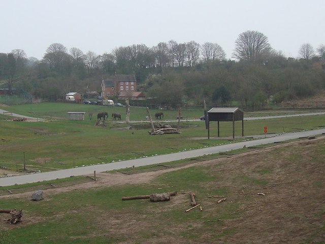
West Midlands Safari Park
West Midlands Safari Park is a safari park located in Bewdley in Worcestershire, England. It was opened under the name of West Midland Safari Park in Spring...
Nearby Amenities
Located within 500m of 52.374655,-2.3012576Have you been to Sandbourne Wood?
Leave your review of Sandbourne Wood below (or comments, questions and feedback).