Three Stones

Lake, Pool, Pond, Freshwater Marsh in Berwickshire

Scotland

Three Stones

The River Tweed near Carham Hall A view looking upstream from near Carham Hall, just inside Northumberland.

This photograph was taken during the Coronavirus (COVID-19) pandemic of 2020/21/22.
The River Tweed near Carham Hall Credit: James T M Towill

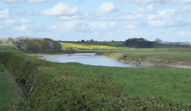
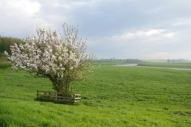
Three Stones is a picturesque freshwater wetland located in Berwickshire, Scotland. This natural gem consists of a serene lake, a tranquil pool, a serene pond, and a lush freshwater marsh, providing a haven for various flora and fauna.

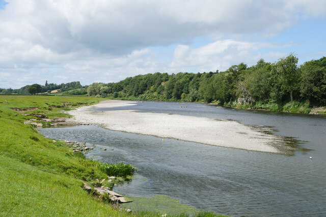
The lake at Three Stones is a shimmering body of water, surrounded by rolling hills and verdant meadows. Its crystal-clear waters reflect the beauty of the surrounding landscape, making it a popular spot for visitors to relax and enjoy the peaceful ambiance. The lake also serves as a habitat for a wide array of aquatic plants and animals, including water lilies, fish, and waterfowl.

Adjacent to the lake is a smaller, yet equally enchanting, pool. This secluded oasis offers a more intimate setting, allowing visitors to revel in the tranquility of nature. The pool is adorned with vibrant water plants and is often frequented by various bird species, such as herons and kingfishers.

A short distance away from the pool lies a serene pond. This smaller body of water is characterized by its calmness and clarity. It is home to a diverse range of aquatic life, including frogs, newts, and dragonflies. The pond's still waters attract an abundance of wildlife, making it a popular spot for nature enthusiasts and photographers.

Finally, the freshwater marsh at Three Stones is a thriving ecosystem of grasses, sedges, and reeds. This marshland provides a vital habitat for many species of birds, insects, and amphibians. It is a haven for wildlife, offering food, shelter, and breeding grounds.

Overall, Three Stones in Berwickshire is a captivating natural site, encompassing a lake, pool, pond, and freshwater marsh. Its diverse habitats and abundant wildlife make it a must-visit destination for those seeking solace in the midst of Scotland's breathtaking beauty.

If you have any feedback on the listing, please let us know in the comments section below.
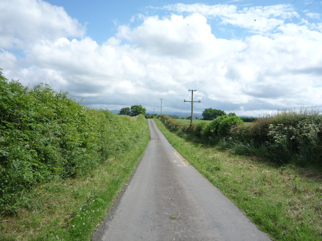
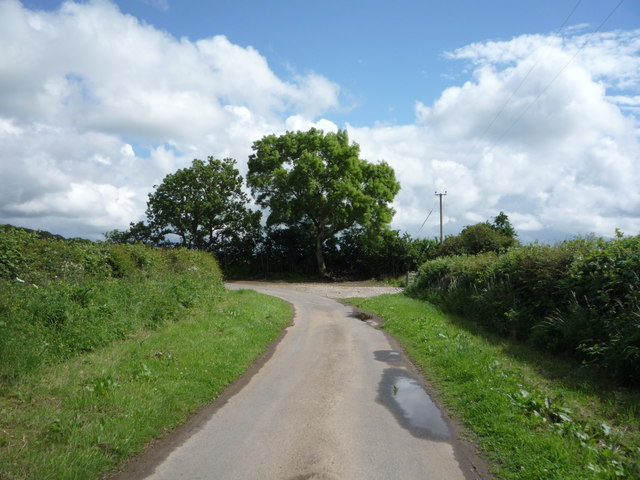
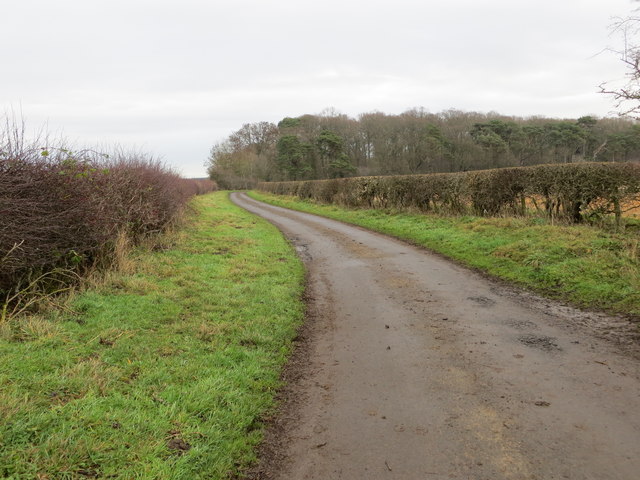
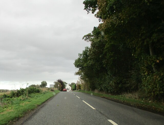
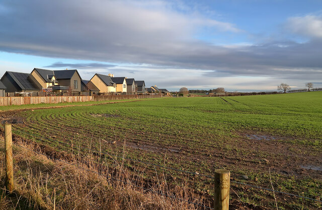
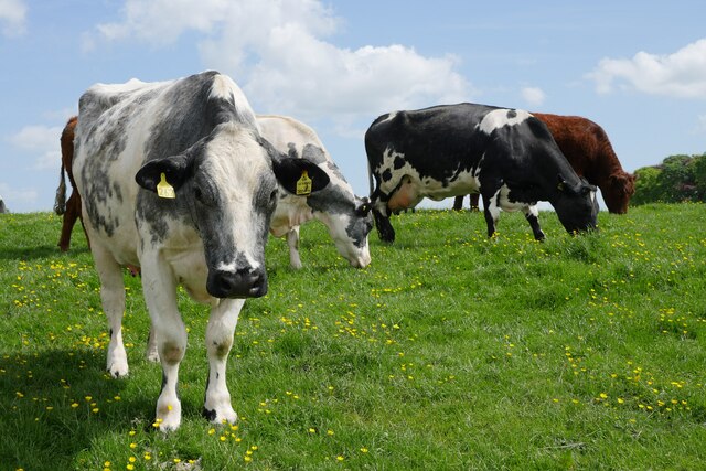
Three Stones Images

Images are sourced within 2km of 55.643381/-2.3239192 or Grid Reference NT7938. Thanks to Geograph Open Source API. All images are credited.

The River Tweed near Carham Hall A view looking upstream from near Carham Hall, just inside Northumberland.

This photograph was taken during the Coronavirus (COVID-19) pandemic of 2020/21/22.
The River Tweed near Carham Hall
A view looking upstream from near Carham Hall, just inside Northumberland. This photograph was taken during the Coronavirus (COVID-19) pandemic of 2020/21/22.
Carham Hall Carham Hall is a grade II listed building near Carham in Northumberland. The site, on the Scottish border, was previously occupied by a medieval tower house, built as a defence from border reivers.
Carham Hall
Carham Hall is a grade II listed building near Carham in Northumberland. The site, on the Scottish border, was previously occupied by a medieval tower house, built as a defence from border reivers.
National Cycle Route 1, Fernyrig Heading south east.
National Cycle Route 1, Fernyrig
Heading south east.
Oilseed rape crop, Fernyrig
Oilseed rape crop towards Birgham Wood
National Cycle Route 1, Fernyrig Heading south east.
National Cycle Route 1, Fernyrig
Heading south east.
Sharp bend in National Cycle Route 1 Heading south east.
Sharp bend in National Cycle Route 1
Heading south east.
Hedge-lined minor road heading towards Birgham Wood Looking north-eastward.
Hedge-lined minor road heading towards Birgham Wood
Looking north-eastward.
Minor  road  junction  to  Lochton  from  A698
Minor road junction to Lochton from A698
Entering  Birgham  on  the  A698  toward  Coldstream
Entering Birgham on the A698 toward Coldstream
West  end  of  Birgham  with  homemade  traffic  sign To the left of the red car is a pretend policeman and a 20 MPH sign, every little helps if it reminds passing motorists
West end of Birgham with homemade traffic sign
To the left of the red car is a pretend policeman and a 20 MPH sign, every little helps if it reminds passing motorists
Long  Birgham  Cottages  alongside  the  A698
Long Birgham Cottages alongside the A698
Road  junction  in  Birgham,  go  left  for  Blinkbonny It seems a popular name in Scotland, so I Googled it! Blinkbonny is Old Norse for Nice View
Road junction in Birgham, go left for Blinkbonny
It seems a popular name in Scotland, so I Googled it! Blinkbonny is Old Norse for Nice View
Exiting  Birgham  on  A698  toward  Coldstream
Exiting Birgham on A698 toward Coldstream
A large arable field at Birgham The field was viewed from Birgham Cemetery.
A large arable field at Birgham
The field was viewed from Birgham Cemetery.
River Tweed at Carham Viewed from the B6350.
River Tweed at Carham
Viewed from the B6350.
In bloom at Carham A Wild Cherry (Prunus avium) in bloom on the Tweed floodplain at Carham.
In bloom at Carham
A Wild Cherry (Prunus avium) in bloom on the Tweed floodplain at Carham.
Riparian ruminants An inquisitive herd of cattle by the River Tweed at Carham.
Riparian ruminants
An inquisitive herd of cattle by the River Tweed at Carham.
Show me another place!

Three Stones is located at Grid Ref: NT7938 (Lat: 55.643381, Lng: -2.3239192)

Unitary Authority: The Scottish Borders

Police Authority: The Lothians and Scottish Borders

What 3 Words

///retraced.toffee.neutron. Near Coldstream, Scottish Borders

Related Wikis

Carham

Carham or Carham on Tweed is a village in Northumberland, England. The village lies on the south side of the River Tweed about 3 miles (5 km) west of Coldstream...
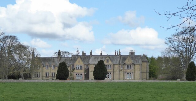
Carham Hall

Carham Hall is a grade II listed building near Carham in Northumberland, England. The site, on the Scottish border, was previously occupied by a medieval...

Birgham

Birgham is a village in Berwickshire, parish of Eccles in the Scottish Borders area of Scotland, near Coldstream and the River Tweed, on the A698....

Battle of Carham

The Battle of Carham was fought between the English ruler of Bamburgh and the king of Scotland in alliance with the Cumbrians. The encounter took place...

Nearby Amenities

Located within 500m of 55.643381,-2.3239192
Bus Stop
Appleacre
Bench: no
Bus: yes
Departures Board: no
Lit: no
Local Ref: at
Naptan AtcoCode: 69001189
Naptan Bearing: NE
Naptan CommonName: Appleacre
Naptan Indicator: at
Naptan NaptanCode: 72727258
Naptan Street: A698
Operator: Scottish Borders Council
Public Transport: platform
Ref: 69001189
Shelter: no
Source: local knowledge;survey;NaPTAN
Lat/Long: 55.6470012/-2.3272832
Bus Stop
Appleacre
Bench: yes
Bus: yes
Check Date Shelter: 2021-08-05
Departures Board: timetable
Lit: yes
Local Ref: opp
Naptan AtcoCode: 6900163
Naptan Bearing: SW
Naptan CommonName: Appleacre
Naptan Indicator: opp
Naptan NaptanCode: 72724656
Naptan Street: A698
Operator: Scottish Borders Council
Public Transport: platform
Ref: 6900163
Shelter: yes
Source: local knowledge;survey;NaPTAN
Lat/Long: 55.6468981/-2.3271619
Site of Chapel
Historic: archaeological_site
Lat/Long: 55.6449415/-2.3288012
Site of Ayton Hall
Historic: archaeological_site
Lat/Long: 55.646523/-2.3268733
Well
Natural: spring
Lat/Long: 55.6432342/-2.3292099
Passing Place
Lat/Long: 55.6469804/-2.3285791
Bus Stop
Fisherman's Arms
Bench: no
Bus: yes
Departures Board: no
Lit: yes
Local Ref: at
Naptan AtcoCode: 69002047
Naptan Bearing: E
Naptan CommonName: Fisherman's Arms
Naptan Indicator: at
Naptan NaptanCode: 7272047
Naptan Street: A698
Operator: Scottish Borders Council
Public Transport: platform
Ref: 69002047
Shelter: no
Source: local knowledge;survey;NaPTAN
Lat/Long: 55.6449346/-2.331307
Bus Stop
Fisherman's Arms
Bench: no
Bus: yes
Departures Board: no
Lit: yes
Local Ref: opp
Naptan AtcoCode: 69002048
Naptan Bearing: W
Naptan CommonName: Fisherman's Arms
Naptan Indicator: opp
Naptan NaptanCode: 7272048
Naptan Street: A698
Operator: Scottish Borders Council
Public Transport: platform
Ref: 69002048
Shelter: no
Source: local knowledge;survey;NaPTAN
Lat/Long: 55.6449499/-2.3308172
Power: pole
Lat/Long: 55.6453549/-2.3308626
Power: pole
Lat/Long: 55.6454872/-2.3302763
Power: pole
Lat/Long: 55.6455847/-2.3297903
The data included in this document is from www.openstreetmap.org. The data is made available under ODbL.

Have you been to Three Stones?

Leave your review of Three Stones below (or comments, questions and feedback).