Woodside

Settlement in Derbyshire Amber Va

England

Woodside

Bluebells in the woods Right next to the busy A609, the woodland floor is carpeted with bluebells.
Bluebells in the woods Credit: Ian Calderwood

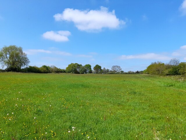
Woodside is a small village located in the county of Derbyshire, England. Situated in the Amber Valley district, it lies approximately 5 miles northeast of the town of Belper and 10 miles north of the city of Derby. The village is nestled within the picturesque Derbyshire Dales, surrounded by rolling hills and stunning countryside.

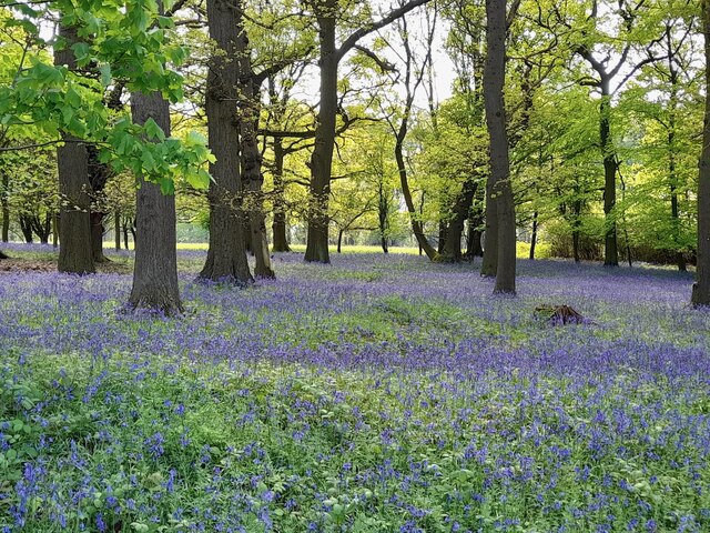
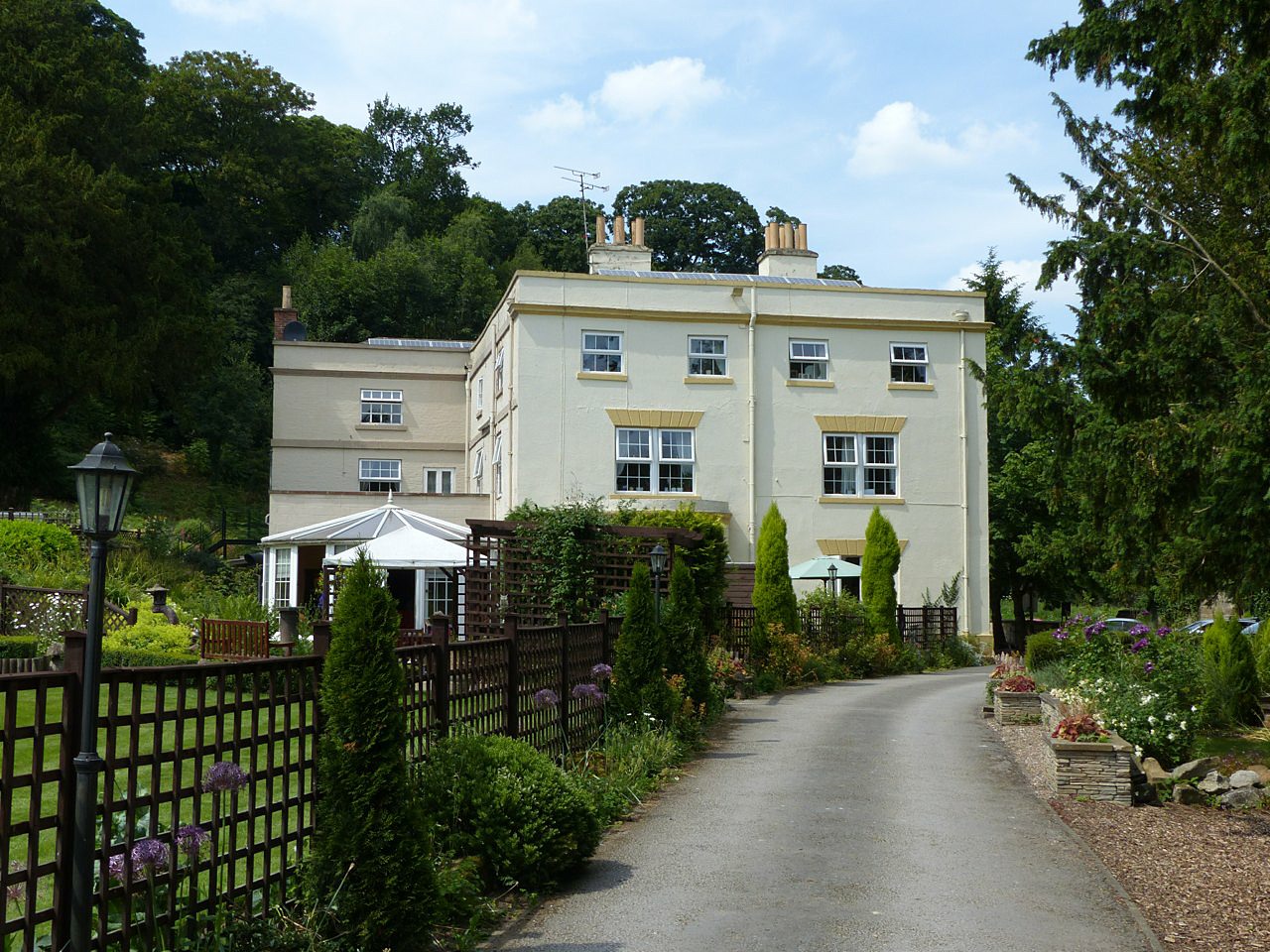
Woodside is a close-knit community with a population of around 500 residents. Known for its peaceful and tranquil atmosphere, the village offers a desirable rural lifestyle away from the hustle and bustle of city living. The architecture of Woodside is predominantly traditional, with charming stone cottages and farmhouses dotting the landscape.

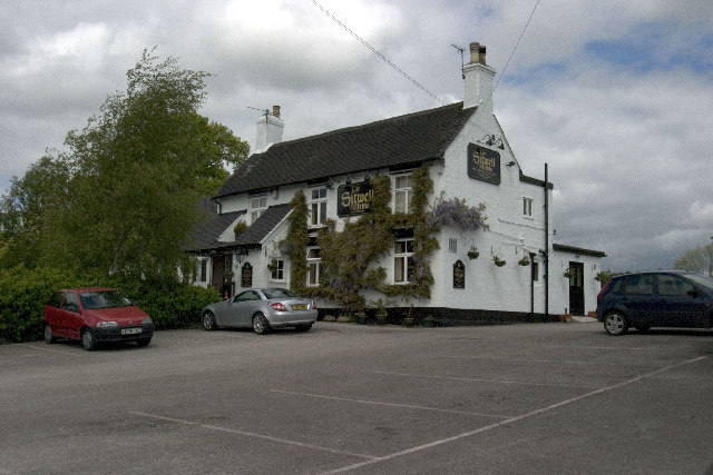
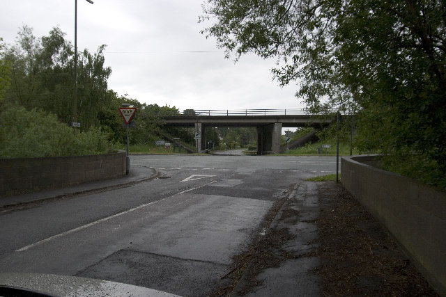
The village is well-served by local amenities, including a primary school, a pub, and a village hall that hosts various community events throughout the year. Additionally, Woodside benefits from excellent transport links, with easy access to major roads such as the A6 and A38, providing convenient connections to nearby towns and cities.

The surrounding area offers a wealth of outdoor recreational opportunities. Residents and visitors can enjoy scenic walks along the nearby Derwent Valley or explore the beautiful countryside of the Peak District National Park, which is just a short drive away. The nearby town of Belper offers a wider range of amenities, including shops, restaurants, and leisure facilities.

Overall, Woodside is a charming and picturesque village that offers a peaceful and idyllic setting for those seeking a rural lifestyle in the heart of Derbyshire.

If you have any feedback on the listing, please let us know in the comments section below.
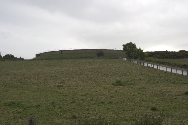
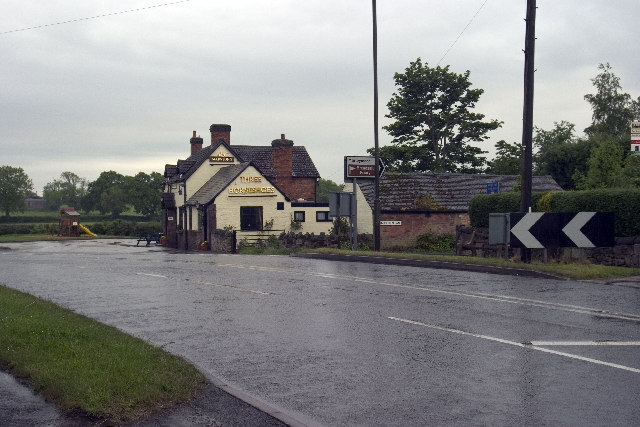
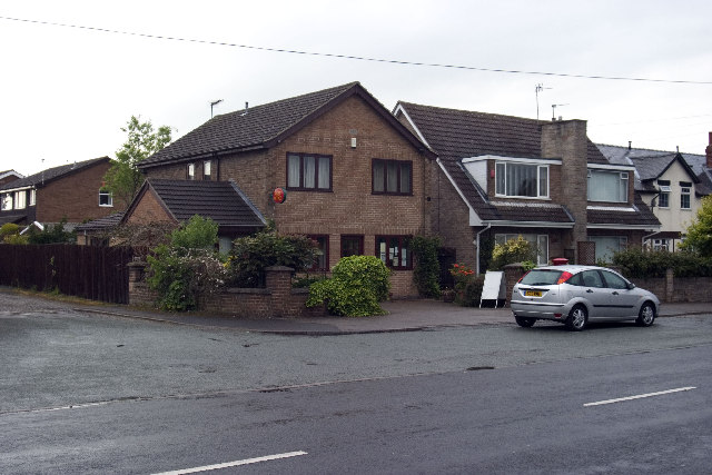
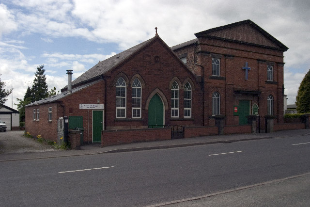
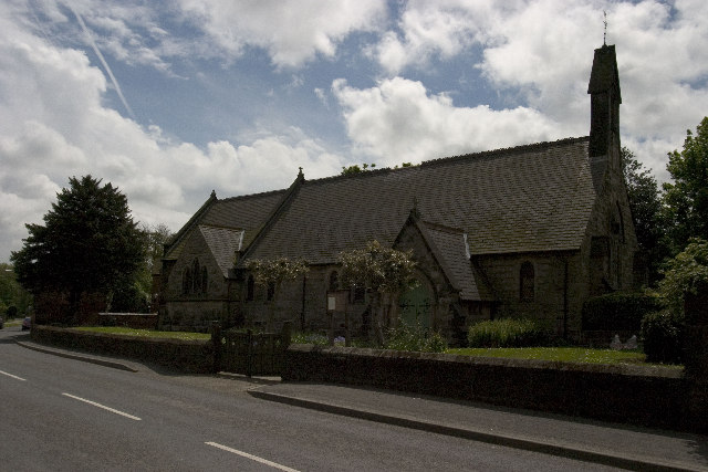
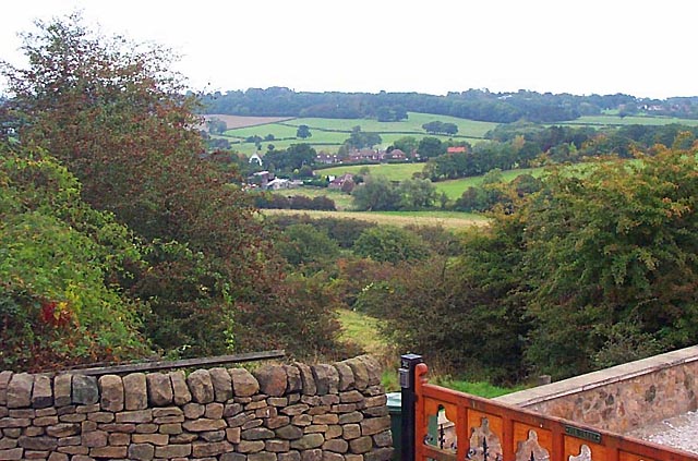
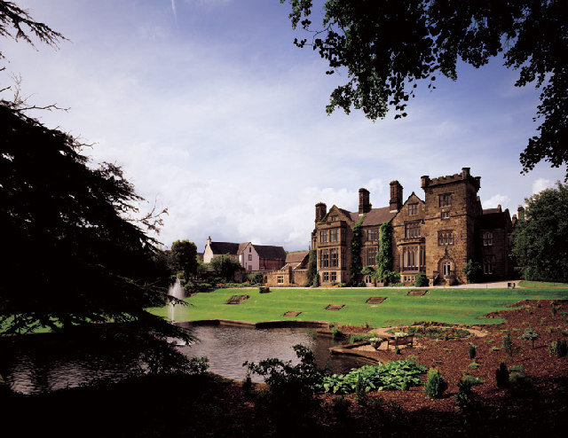
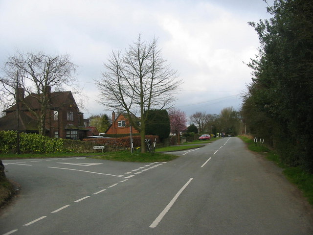
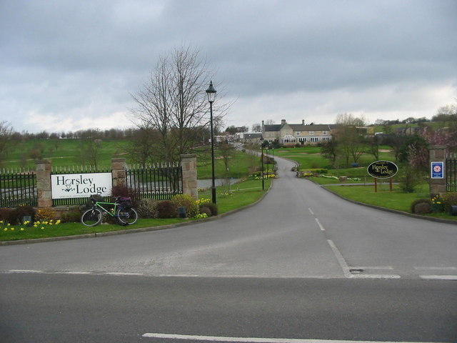
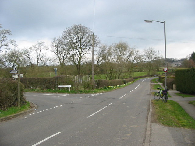
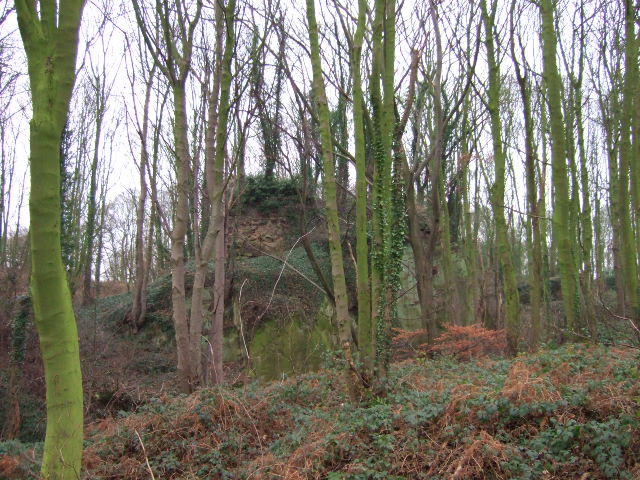
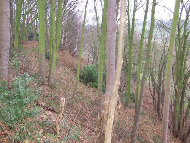
Woodside Images

Images are sourced within 2km of 52.98293/-1.4205595 or Grid Reference SK3943. Thanks to Geograph Open Source API. All images are credited.

Bluebells in the woods Right next to the busy A609, the woodland floor is carpeted with bluebells.
Bluebells in the woods
Right next to the busy A609, the woodland floor is carpeted with bluebells.
The Fallow Field Literally just an empty field, "Solely for the purpose of recreation", managed by Stanley & Stanley Common Parish Council.
The Fallow Field
Literally just an empty field, "Solely for the purpose of recreation", managed by Stanley & Stanley Common Parish Council.
Sitwell Arms Sitwell Arms Public House, Horsley Woodhouse/Woodside, Derbyshire. SK397441
Sitwell Arms
Sitwell Arms Public House, Horsley Woodhouse/Woodside, Derbyshire. SK397441
B6179 junction with road to Holbrook, A38 flyover Road Junction of B6179 (running left to right) with road from Coxbench (other side of A38 flyover) to Holbrook Station (now residential property, and out of shot behind photographer).
B6179 junction with road to Holbrook, A38 flyover
Road Junction of B6179 (running left to right) with road from Coxbench (other side of A38 flyover) to Holbrook Station (now residential property, and out of shot behind photographer).
Drum Hill Reservoir Drum Hill Reservoir (SK373420) taken from Morley Lane.
Drum Hill Reservoir
Drum Hill Reservoir (SK373420) taken from Morley Lane.
Morley Smithy Morley Smithy, road junction with Brick Kiln Lane and the A608 Derby to Heanor Road. The Three Horse Shoes public House is also plainly visible.
Morley Smithy
Morley Smithy, road junction with Brick Kiln Lane and the A608 Derby to Heanor Road. The Three Horse Shoes public House is also plainly visible.
Coach and Horses, Horsley Also road junction of Horsley Road (Front to right of picture) and Smalley Mill Road (dropping away to the left). Horsley, Derbyshire.
Coach and Horses, Horsley
Also road junction of Horsley Road (Front to right of picture) and Smalley Mill Road (dropping away to the left). Horsley, Derbyshire.
Horsley Woodhouse Post Office Horsley Woodhouse Post Office, A609, Horsley Woodhouse, Derbyshire, opposite the Central Methodist Church.
Horsley Woodhouse Post Office
Horsley Woodhouse Post Office, A609, Horsley Woodhouse, Derbyshire, opposite the Central Methodist Church.
Horsley Woodhouse Central Methodist Church Horsley Woodhouse Central Methodist Church, opposite Post Office, A609, Horsley Woodhouse, Derbyshire.
Horsley Woodhouse Central Methodist Church
Horsley Woodhouse Central Methodist Church, opposite Post Office, A609, Horsley Woodhouse, Derbyshire.
Horsley Woodhouse Church Horsley Woodhouse Church, A609, Horsley Woodhouse, Derbyshire SK396448
Horsley Woodhouse Church
Horsley Woodhouse Church, A609, Horsley Woodhouse, Derbyshire SK396448
Cloves Hill, Morley This view from near the top of Cloves Hill is towards Smalley.
Cloves Hill, Morley
This view from near the top of Cloves Hill is towards Smalley.
Breadsall Priory Breadsall Priory is now a hotel and leisure complex. The most famous resident of Breadsall Priory was the poet, physician and scientist Erasmus Darwin, who lived there for a short time until his death in 1802. Grandfather of Charles Darwin, Erasmus is one of the most remarkable and internationally important figures of the 18th century and is buried in Breadsall church.

<span class="nowrap"><a title="http://www.picturesofderby.co.uk/area_breadsall.htm" rel="nofollow ugc noopener" href="http://www.picturesofderby.co.uk/area_breadsall.htm">Link</a><img style="margin-left:2px;" alt="External link" title="External link - shift click to open in new window" src="https://s1.geograph.org.uk/img/external.png" width="10" height="10"/></span>
Breadsall Priory
Breadsall Priory is now a hotel and leisure complex. The most famous resident of Breadsall Priory was the poet, physician and scientist Erasmus Darwin, who lived there for a short time until his death in 1802. Grandfather of Charles Darwin, Erasmus is one of the most remarkable and internationally important figures of the 18th century and is buried in Breadsall church. LinkExternal link
Breadsall Priory Breadsall Priory is now a hotel and leisure complex. The most famous resident of Breadsall Priory was the poet, physician and scientist Erasmus Darwin, who lived there for a short time until his death in 1802. Grandfather of Charles Darwin, Erasmus is one of the most remarkable and internationally important figures of the 18th century and is buried in Breadsall church.
<span class="nowrap"><a title="http://www.picturesofderby.co.uk/area_breadsall.htm" rel="nofollow ugc noopener" href="http://www.picturesofderby.co.uk/area_breadsall.htm">Link</a><img style="margin-left:2px;" alt="External link" title="External link - shift click to open in new window" src="https://s1.geograph.org.uk/img/external.png" width="10" height="10"/></span>
Breadsall Priory
Breadsall Priory is now a hotel and leisure complex. The most famous resident of Breadsall Priory was the poet, physician and scientist Erasmus Darwin, who lived there for a short time until his death in 1802. Grandfather of Charles Darwin, Erasmus is one of the most remarkable and internationally important figures of the 18th century and is buried in Breadsall church. LinkExternal link
Brackely Gate Road Junction
Horsley Lodge Golf Club Horsley Lodge golf centre and restaurant - yet another example of a farm and farmland being converted to leisure usage.
Horsley Lodge Golf Club
Horsley Lodge golf centre and restaurant - yet another example of a farm and farmland being converted to leisure usage.
Woodside Road Junction
Overgrown Remains of Horsley Castle Very little remains of the ruins of Horsley Castle, it is also extremely overgrown, taken on the Boxing Day walk led by the Shipley Park Ranger Service.
Fact or fiction; three items of discussion about the castle were, the stonework had been taken to construct Kedleston Hall, there is an underground tunnel back to Horsley and finally Dick Turpin was born here!
Overgrown Remains of Horsley Castle
Very little remains of the ruins of Horsley Castle, it is also extremely overgrown, taken on the Boxing Day walk led by the Shipley Park Ranger Service. Fact or fiction; three items of discussion about the castle were, the stonework had been taken to construct Kedleston Hall, there is an underground tunnel back to Horsley and finally Dick Turpin was born here!
Horsley Castle Rampart. The steep embankment on the south side of Horsley Castle,the ranger leading the walk can just be seen.
Horsley Castle Rampart.
The steep embankment on the south side of Horsley Castle,the ranger leading the walk can just be seen.
Show me another place!

Woodside is located at Grid Ref: SK3943 (Lat: 52.98293, Lng: -1.4205595)

Administrative County: Derbyshire

District: Amber Va

Police Authority: Derbyshire

What 3 Words

///cubs.items.reap. Near Kilburn, Derbyshire

Related Wikis

Nearby Amenities

Located within 500m of 52.98293,-1.4205595
Post Box
Collection Times: Mo-Fr 16:00; Sa 08:00
Operator: Royal Mail
Operator Wikidata: Q638098
Post Box Type: lamp
Ref: DE7 490
Royal Cypher: EIIR
Royal Cypher Wikidata: Q33102113
Lat/Long: 52.9802858/-1.4222389
Barrier: cycle_barrier
Lat/Long: 52.9808162/-1.4248199
Barrier: stile
Ele: 139.0000000
Steps: 3
Stile: wall
Lat/Long: 52.981004/-1.4248351
Ele: 93
Lat/Long: 52.9851391/-1.4174921
Barrier: stile
Ele: 136
Stile: squeezer
Lat/Long: 52.9817754/-1.423083
Ele: 134
Lat/Long: 52.9827858/-1.4203646
Bus Stop
Bus: yes
Ele: 139.0000000
Naptan AtcoCode: 1000DMMC2748
Naptan NaptanCode: dbsdtdwj
Public Transport: platform
Shelter: no
Lat/Long: 52.9800849/-1.4190777
Bus Stop
Bus: yes
Naptan AtcoCode: 1000DMMC5693
Naptan NaptanCode: dbsdtdwt
Public Transport: platform
Shelter: no
Lat/Long: 52.9799976/-1.418798
Barrier: stile
Ele: 92.0000000
Steps: 2
Stile: stepover
Lat/Long: 52.9845521/-1.4161926
Ele: 90.0000000
Lat/Long: 52.9846309/-1.4155247
Barrier: stile
Ele: 138.0000000
Stile: squeezer
Lat/Long: 52.9804512/-1.421355
Ele: 137
Lat/Long: 52.9806819/-1.4212807
Barrier: stile
Ele: 138.0000000
Stile: squeezer
Lat/Long: 52.9810359/-1.4213102
Barrier: stile
Stile: squeezer
Lat/Long: 52.979377/-1.4226219
Bench
Lat/Long: 52.9794075/-1.4226072
Bus Stop
Bus: yes
Note: No name displayed
Public Transport: platform
Shelter: yes
Source: survey
Lat/Long: 52.9802569/-1.4222435
Advertising: board
Operator: Morley Parish Council
Source: survey
Lat/Long: 52.9803018/-1.422244
Waste Basket
Lat/Long: 52.9802771/-1.4222393
Grit Bin
Lat/Long: 52.9804491/-1.4156297
Bus Stop
Cloves Hill
Bus: yes
Public Transport: platform
Shelter: no
Source: survey
Lat/Long: 52.9830765/-1.4137629
Power: pole
Lat/Long: 52.9790941/-1.4198434
Power: pole
Lat/Long: 52.9798984/-1.41913
Fixme: Confirm how path and track intersect
Lat/Long: 52.9848749/-1.4142991
The data included in this document is from www.openstreetmap.org. The data is made available under ODbL.

Have you been to Woodside?

Leave your review of Woodside below (or comments, questions and feedback).