Ryknild Street
Heritage Site in Derbyshire
England
Ryknild Street
Ryknild Street, located in Derbyshire, England, is a notable heritage site that holds immense historical significance. The ancient road is believed to have been constructed by the Romans during their reign in Britain, around the 1st century AD. It served as a major communication route, connecting the important Roman towns of Aquae Arnemetiae (modern-day Buxton) and Derventio (modern-day Derby).
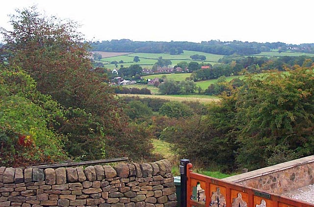
Stretching for approximately 40 miles, Ryknild Street traverses through diverse landscapes, including rolling countryside, valleys, and moorland. It is characterized by its straight alignment, a typical feature of Roman roads, which allowed for efficient travel and trade between settlements.
Today, Ryknild Street stands as a testament to the engineering prowess of the Romans. Although portions of the road have been altered or incorporated into modern highways, it still retains its historical allure. Visitors can explore sections of the road that have been preserved or follow its path through quaint villages and towns, such as Ashbourne and Brailsford.
The significance of Ryknild Street extends beyond its engineering brilliance. It served as a vital link between the Roman settlements, facilitating the movement of troops, goods, and ideas across the region. The road played a crucial role in shaping the cultural and economic landscape of Derbyshire during the Roman occupation.
As a heritage site, Ryknild Street provides a unique opportunity to delve into the rich history of the area and gain insight into the Roman influence on British society. It serves as a reminder of the enduring legacy left behind by the Romans and continues to captivate visitors with its historical charm.
If you have any feedback on the listing, please let us know in the comments section below.
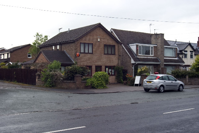
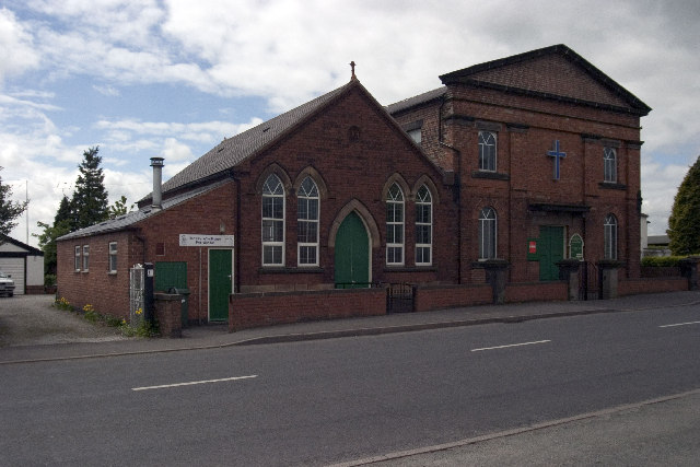
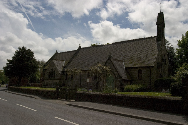
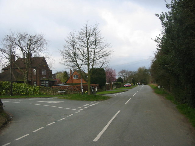
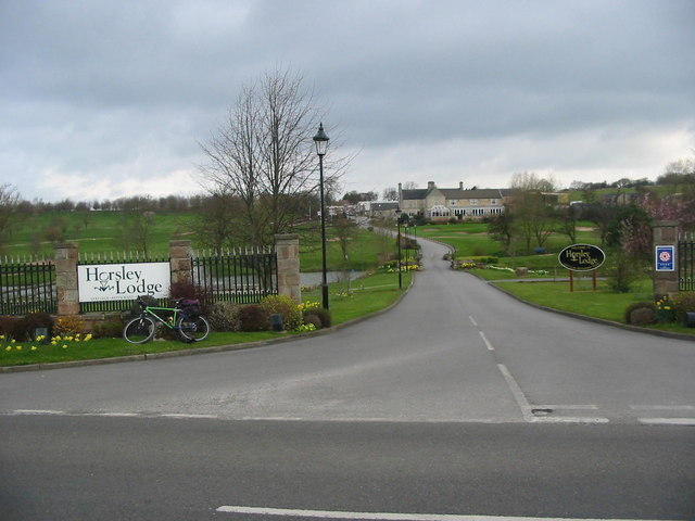
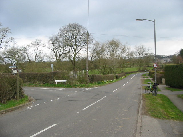
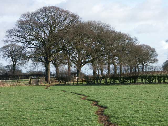
Ryknild Street Images
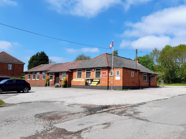
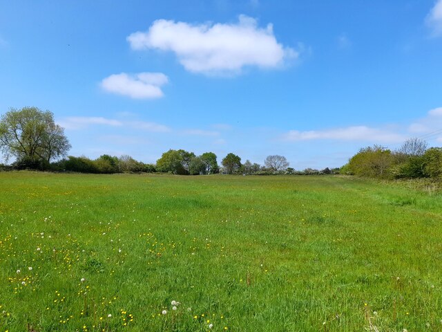
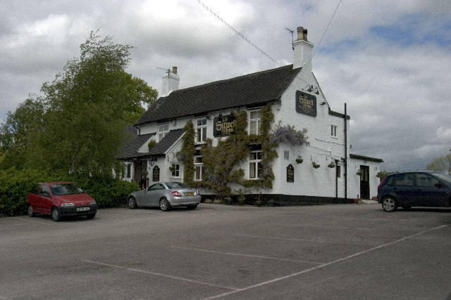
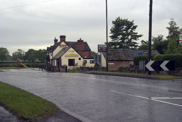
Images are sourced within 2km of 52.987/-1.412 or Grid Reference SK3943. Thanks to Geograph Open Source API. All images are credited.


Ryknild Street is located at Grid Ref: SK3943 (Lat: 52.987, Lng: -1.412)
Police Authority: Derbyshire
What 3 Words
///basics.sleepy.spice. Near Kilburn, Derbyshire
Nearby Locations
Related Wikis

Stainsby House
Stainsby House is an architecturally notable house in Horsley Woodhouse, Derbyshire, England. It was designed by Nottingham architect David Shelley, and...

Brackley Gate
Brackley Gate is a hamlet in the Erewash district, in Derbyshire, England. It forms part of the civil parish of Morley. It is located northeast of Derby...

Horsley Woodhouse
Horsley Woodhouse is a village and civil parish in the Amber Valley district of Derbyshire, in the East Midlands of England. The population of the civil...

Amber Valley
Amber Valley is a local government district with borough status in the east of Derbyshire, England, taking its name from the River Amber. Its council is...

Smalley, Derbyshire
Smalley is a village on the main A608 Heanor to Derby road in Derbyshire in the East Midlands of England. The population of the civil parish as of the...

Horsley, Derbyshire
Horsley is a small village in the Amber Valley district of Derbyshire, roughly 5 miles north of the City of Derby, England, with a population of 973 at...

Horston Castle
Horston Castle (sometimes spelt Horeston and also known as Horsley Castle) is about 1 mile to the south of the village of Horsley, some 5 miles north of...

St Clement's Church, Horsley
St Clement's Church, Horsley is a Grade I listed parish church in the Church of England in Horsley, Derbyshire. == History == The church dates from the...
Nearby Amenities
Located within 500m of 52.987,-1.412Have you been to Ryknild Street ?
Leave your review of Ryknild Street below (or comments, questions and feedback).