Avenue Plantations

Wood, Forest in Derbyshire Amber Valley

England

Avenue Plantations

338 Top Club Stanley Common Ex-Service & Workmen's Club
338 Top Club Credit: Ian Calderwood

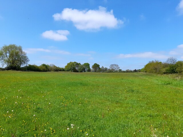
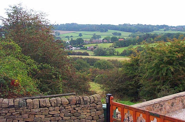
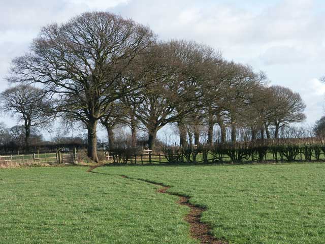
Avenue Plantations, located in Derbyshire, is a picturesque wood and forest area that offers a serene and tranquil escape from the bustling city life. Spanning over a vast expanse of land, the plantation is a haven for nature enthusiasts and outdoor adventurers alike.

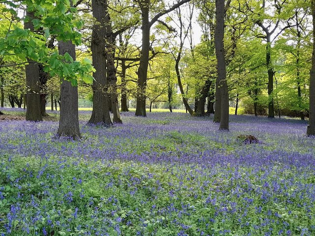
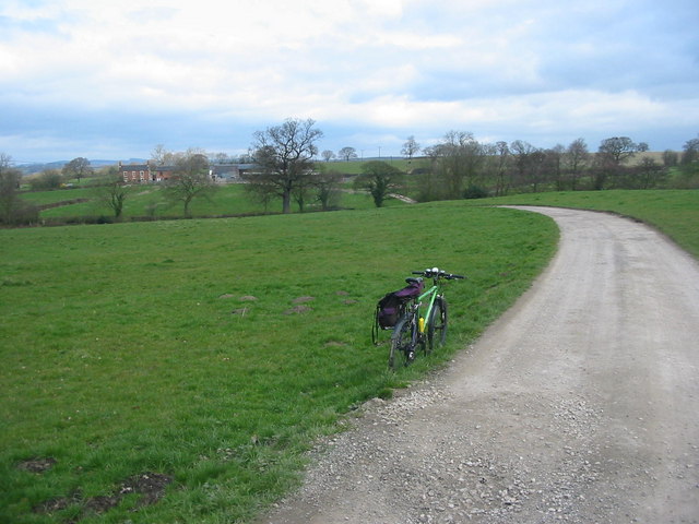
The woodlands of Avenue Plantations are characterized by a diverse range of tree species, including oak, beech, and ash, which create a stunning canopy of foliage during the summer months. The forest floor is adorned with a rich carpet of wildflowers, adding bursts of vibrant colors to the landscape.

Visitors to Avenue Plantations can enjoy a variety of activities, such as hiking, birdwatching, and nature photography. The well-maintained trails weave through the forest, providing opportunities for leisurely strolls or more challenging hikes. The plantation is also home to numerous bird species, making it a popular spot for birdwatchers to observe and document their sightings.

For those seeking a peaceful retreat, Avenue Plantations offers secluded picnic spots and benches where visitors can enjoy a packed lunch or simply bask in the beauty of nature. The tranquil atmosphere and the sound of rustling leaves create a sense of calm and relaxation, making it an ideal spot for mindfulness and meditation.

Avenue Plantations is easily accessible, with ample parking facilities and well-marked paths. It is a popular destination for locals and tourists alike, offering a refreshing break from the urban hustle and bustle. Whether one seeks solitude, adventure, or a deeper connection with nature, Avenue Plantations in Derbyshire is a must-visit destination.

If you have any feedback on the listing, please let us know in the comments section below.

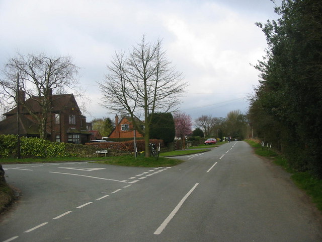
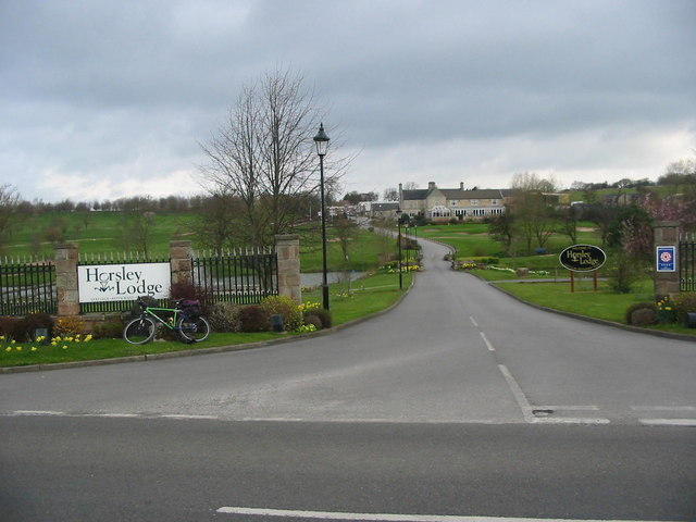
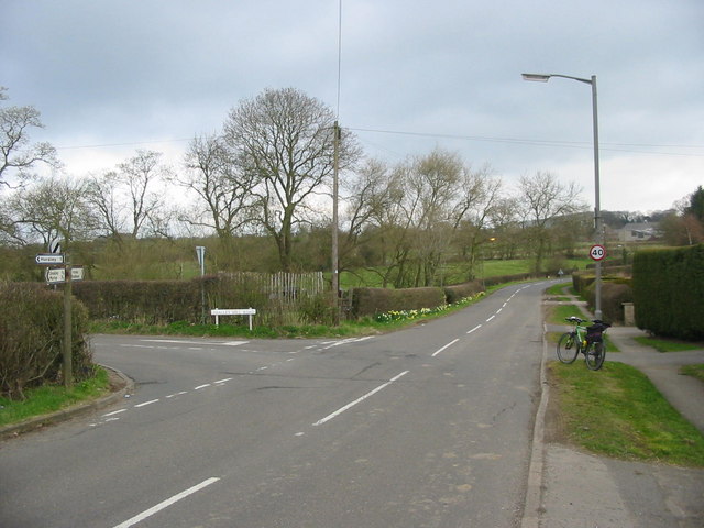
Avenue Plantations Images

Images are sourced within 2km of 52.991413/-1.4072169 or Grid Reference SK3943. Thanks to Geograph Open Source API. All images are credited.

338 Top Club Stanley Common Ex-Service & Workmen's Club
338 Top Club
Stanley Common Ex-Service & Workmen's Club
Bluebells in the woods Right next to the busy A609, the woodland floor is carpeted with bluebells.
Bluebells in the woods
Right next to the busy A609, the woodland floor is carpeted with bluebells.
The Fallow Field Literally just an empty field, "Solely for the purpose of recreation", managed by Stanley & Stanley Common Parish Council.
The Fallow Field
Literally just an empty field, "Solely for the purpose of recreation", managed by Stanley & Stanley Common Parish Council.
Sitwell Arms Sitwell Arms Public House, Horsley Woodhouse/Woodside, Derbyshire. SK397441
Sitwell Arms
Sitwell Arms Public House, Horsley Woodhouse/Woodside, Derbyshire. SK397441
Coach and Horses, Horsley Also road junction of Horsley Road (Front to right of picture) and Smalley Mill Road (dropping away to the left). Horsley, Derbyshire.
Coach and Horses, Horsley
Also road junction of Horsley Road (Front to right of picture) and Smalley Mill Road (dropping away to the left). Horsley, Derbyshire.
Horsley Woodhouse Post Office Horsley Woodhouse Post Office, A609, Horsley Woodhouse, Derbyshire, opposite the Central Methodist Church.
Horsley Woodhouse Post Office
Horsley Woodhouse Post Office, A609, Horsley Woodhouse, Derbyshire, opposite the Central Methodist Church.
Horsley Woodhouse Central Methodist Church Horsley Woodhouse Central Methodist Church, opposite Post Office, A609, Horsley Woodhouse, Derbyshire.
Horsley Woodhouse Central Methodist Church
Horsley Woodhouse Central Methodist Church, opposite Post Office, A609, Horsley Woodhouse, Derbyshire.
Horsley Woodhouse Church Horsley Woodhouse Church, A609, Horsley Woodhouse, Derbyshire SK396448
Horsley Woodhouse Church
Horsley Woodhouse Church, A609, Horsley Woodhouse, Derbyshire SK396448
Cloves Hill, Morley This view from near the top of Cloves Hill is towards Smalley.
Cloves Hill, Morley
This view from near the top of Cloves Hill is towards Smalley.
Brackely Gate Road Junction
Horsley Lodge Golf Club Horsley Lodge golf centre and restaurant - yet another example of a farm and farmland being converted to leisure usage.
Horsley Lodge Golf Club
Horsley Lodge golf centre and restaurant - yet another example of a farm and farmland being converted to leisure usage.
Woodside Road Junction
Carr Farm Carr Farm viewed from the village of Horsley Woodhouse.
Carr Farm
Carr Farm viewed from the village of Horsley Woodhouse.
A fine line of trees near Morleymoor farm
Stile and footpath The path from Ladylea road to the Dovecote
Stile and footpath
The path from Ladylea road to the Dovecote
Small quarry This small quarry hole would have supplied clay to a nearby brickworks.
Small quarry
This small quarry hole would have supplied clay to a nearby brickworks.
Blackbirds Two day old chicks
Blackbirds
Two day old chicks
Horsley Woodhouse View over open fields towards Woodside and Horsley Lodge Golf Club, with the added bonus of a double rainbow
Horsley Woodhouse
View over open fields towards Woodside and Horsley Lodge Golf Club, with the added bonus of a double rainbow
Show me another place!

Avenue Plantations is located at Grid Ref: SK3943 (Lat: 52.991413, Lng: -1.4072169)

Administrative County: Derbyshire

District: Amber Valley

Police Authority: Derbyshire

What 3 Words

///remarks.manly.pencils. Near Kilburn, Derbyshire

Related Wikis

Nearby Amenities

Located within 500m of 52.991413,-1.4072169
Ele: 119.3284912
Lat/Long: 52.9941405/-1.4060449
Ele: 117.1655273
Lat/Long: 52.9938326/-1.4066534
Ele: 113.0799561
Lat/Long: 52.9934388/-1.4071578
Ele: 113.3203125
Lat/Long: 52.9933961/-1.4072038
Ele: 108.9943848
Lat/Long: 52.9928486/-1.407325
Ele: 104.4281006
Lat/Long: 52.9922638/-1.4075821
Ele: 125.5770264
Lat/Long: 52.995029/-1.4029884
Ele: 123.8946533
Lat/Long: 52.9948861/-1.4033719
Ele: 119.3284912
Lat/Long: 52.9942857/-1.4058166
Ele: 91.2100830
Lat/Long: 52.9889329/-1.409163
Ele: 92.6520996
Lat/Long: 52.9894703/-1.41007
Ele: 92.6520996
Lat/Long: 52.9899247/-1.4109564
Ele: 92.4118652
Lat/Long: 52.9889948/-1.409348
Ele: 87.1245117
Lat/Long: 52.9882173/-1.4075413
Ele: 90.2487793
Lat/Long: 52.9882475/-1.4065824
Ele: 86.1632080
Lat/Long: 52.9880516/-1.4082041
Ele: 86.8841553
Lat/Long: 52.9881368/-1.4082962
Ele: 87.1245117
Lat/Long: 52.9882846/-1.4084187
Ele: 89.2874756
Lat/Long: 52.988514/-1.4086417
Barrier: stile
Ele: 98.9006348
Material: wood
Stile: stepover
Lat/Long: 52.988554/-1.4040088
Ele: 93.8537598
Lat/Long: 52.9881105/-1.4052197
Ele: 93.3730469
Lat/Long: 52.9903091/-1.4113496
Ele: 92.8924561
Lat/Long: 52.9903021/-1.4119294
Ele: 92.1715088
Lat/Long: 52.9902706/-1.4120354
Wood Lane Garage
Addr Street: Wood Lane
Ele: 98.0000000
Shop: car_repair
Lat/Long: 52.991256/-1.4077068
Post Box
Collection Times: Mo-Fr 17:45; Sa 08:30
Ele: 97.0000000
Post Box Type: lamp
Ref: DE7 468
Royal Cypher: EIIR
Royal Cypher Wikidata: Q33102113
Lat/Long: 52.991216/-1.4073689
Barrier: stile
Stile: squeezer
Lat/Long: 52.9927321/-1.4096676
Amber Court
Tourism: self_catering
Lat/Long: 52.9905539/-1.4070737
The data included in this document is from www.openstreetmap.org. The data is made available under ODbL.

Have you been to Avenue Plantations?

Leave your review of Avenue Plantations below (or comments, questions and feedback).