Coatham Wood

Wood, Forest in Durham

England

Coatham Wood

Old Milestone by the former A66, Darlington Road, Longnewton Carved stone post by the UC road (was A66), in parish of LONGNEWTON (STOCKTON ON TEES District), roadside verge, on North side of road. D/S stone, erected by the Stockton & Barnard Castle turnpike trust in the 19th century. 

Inscription reads:-
: S / 5 : : D / 6 : 

Milestone Society National ID: DU_DAST06.
Old Milestone by the former A66, Darlington Road, Longnewton Credit: IA Davison

Coatham Wood is a picturesque woodland situated in the county of Durham, England. Spanning an area of approximately 100 acres, it is located near the village of Coatham Mundeville, just a few miles southeast of the city of Durham.

The wood is characterized by its dense and diverse tree cover, dominated by broadleaf species such as oak, ash, birch, and beech. These towering trees create a lush canopy that provides shade and shelter for a wide range of flora and fauna. In springtime, the woodland floor comes alive with a vibrant carpet of bluebells and other wildflowers, creating a stunning display of color.

The wood is crisscrossed by a network of well-maintained footpaths, making it a popular destination for walkers, nature enthusiasts, and dog owners. These paths lead visitors through the heart of the wood, allowing them to immerse themselves in the tranquil surroundings and take in the sights and sounds of nature. Birdwatchers will be delighted to spot a variety of species, including woodpeckers, nuthatches, and tawny owls, while small mammals such as squirrels and rabbits are also commonly seen.

Coatham Wood is managed by a local conservation organization, which ensures the preservation and protection of its natural beauty. The wood serves as an important habitat for wildlife and contributes to the overall biodiversity of the region. Its accessibility and peaceful atmosphere make it a haven for those seeking solace in nature, providing a welcome escape from the hustle and bustle of everyday life.

If you have any feedback on the listing, please let us know in the comments section below.
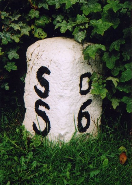
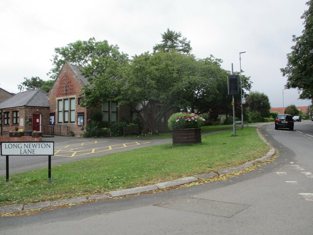
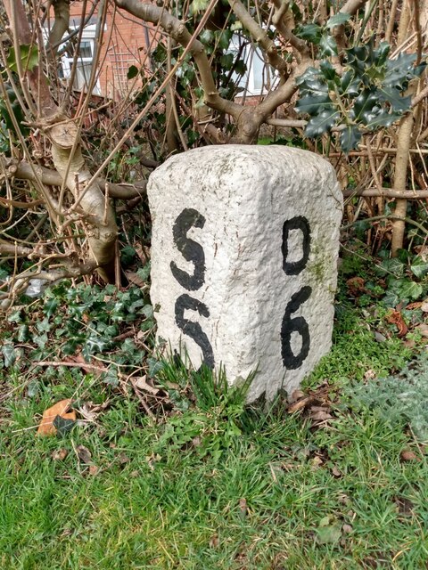
Coatham Wood Images

Images are sourced within 2km of 54.536124/-1.3852011 or Grid Reference NZ3915. Thanks to Geograph Open Source API. All images are credited.

Old Milestone by the former A66, Darlington Road, Longnewton Carved stone post by the UC road (was A66), in parish of LONGNEWTON (STOCKTON ON TEES District), roadside verge, on North side of road. D/S stone, erected by the Stockton & Barnard Castle turnpike trust in the 19th century. 

Inscription reads:-
: S / 5 : : D / 6 : 

Milestone Society National ID: DU_DAST06.
Old Milestone by the former A66, Darlington Road, Longnewton
Carved stone post by the UC road (was A66), in parish of LONGNEWTON (STOCKTON ON TEES District), roadside verge, on North side of road. D/S stone, erected by the Stockton & Barnard Castle turnpike trust in the 19th century. Inscription reads:- : S / 5 : : D / 6 : Milestone Society National ID: DU_DAST06.
Communications Mast on Back Lane
Into  Longnewton  on  Long  Newton  Lane
Into Longnewton on Long Newton Lane
The  Wilson  Centre  now  the  Village  Hall  Longnewton Built as a church institute in 1886 and named after its benefactor Rev Wilson. It is now leased from the diocese as a village hall. At the junction of Darlington Road and Long Newton Lane
The Wilson Centre now the Village Hall Longnewton
Built as a church institute in 1886 and named after its benefactor Rev Wilson. It is now leased from the diocese as a village hall. At the junction of Darlington Road and Long Newton Lane
Darlington  Road  Longnewton
Darlington Road Longnewton
Darlington  Road  toward  Elton
Darlington Road toward Elton
Coatham  Lane  junction  from  Darlington  Road
Coatham Lane junction from Darlington Road
Darlington  Road  bridging  Coatham  Beck  toward  Elton
Darlington Road bridging Coatham Beck toward Elton
Old Milestone by road (was A66), Darlington Road, Longnewton The Milestone is located roadside verge on the North of the road.  Parish of Longnewton (Stockton-on-Tees District). Carved stone post, D/S stone design, erected by the Stockton & Barnard Castle turnpike trust in the 19th Century. An earlier photograph can be found here: <a title="https://www.geograph.org.uk/photo/5624063" href="https://www.geograph.org.uk/photo/5624063">Link</a> 

Inscription reads:-  
S / 5 / : : D / 6 

Milestone Society National ID: DU_DAST06
Old Milestone by road (was A66), Darlington Road, Longnewton
The Milestone is located roadside verge on the North of the road.  Parish of Longnewton (Stockton-on-Tees District). Carved stone post, D/S stone design, erected by the Stockton & Barnard Castle turnpike trust in the 19th Century. An earlier photograph can be found here: Link  Inscription reads:- S / 5 / : : D / 6 Milestone Society National ID: DU_DAST06
Approaching  Urlay  Nook  level  crossing On the Tees Valley Line. Buildings to the left, Police departments
Approaching Urlay Nook level crossing
On the Tees Valley Line. Buildings to the left, Police departments
Modern  level  crossing  on  the  Tees  Valley  Line Both road and crossing look upgraded
Modern level crossing on the Tees Valley Line
Both road and crossing look upgraded
Former  Elementis  works  on  the  left  Long  Newton  Lane
Former Elementis works on the left Long Newton Lane
Grassed  track  at  Coatham  Stob All the old farm buildings at Coatham Stob have been converted into 9 properties, most have paddocks
Grassed track at Coatham Stob
All the old farm buildings at Coatham Stob have been converted into 9 properties, most have paddocks
Track  to  paddocks  from  Coatham  Stob Coatham Wood in background
Track to paddocks from Coatham Stob
Coatham Wood in background
Over  grass  field  to  Coatham  Lane  Cottage
Over grass field to Coatham Lane Cottage
Farm  track  alongside  Coatham  Wood No access from wood to private farmland
Farm track alongside Coatham Wood
No access from wood to private farmland
Horses  in  paddock  at  Coatham  Stob Behind the white horse is the overgrown pond area
Horses in paddock at Coatham Stob
Behind the white horse is the overgrown pond area
Coatham  Lane  at  entrance  to  Drovers  Way  Caravan  Park
Coatham Lane at entrance to Drovers Way Caravan Park
Show me another place!

Coatham Wood is located at Grid Ref: NZ3915 (Lat: 54.536124, Lng: -1.3852011)

Unitary Authority: Stockton-on-Tees

Police Authority: Cleveland

What 3 Words

///buckling.zealous.awesome. Near Elton, Co. Durham

Nearby Locations

Coatham Wood

Related Wikis

Urlay Nook

Urlay Nook is a village in the County Durham, England. It is part of the Egglescliffe parish in the borough of Stockton-on-Tees. The village is dominated...

Elton, County Durham

Elton is a village and civil parish in the borough of Stockton-on-Tees and ceremonial county of County Durham, England. It is situated a short distance...

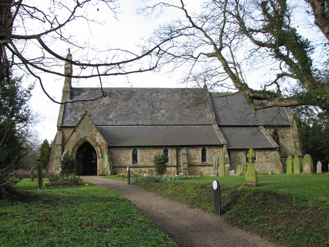
St Mary's Church, Longnewton

St. Mary's Church, Longnewton is a Church of England church in the parish of Longnewton, Stockton-on-Tees, Teesside, England. It is part of the benefice...

Longnewton

Longnewton (also known as Long Newton) is a village and civil parish in the borough of Stockton-on-Tees and ceremonial county of County Durham, England...

Allens West railway station

Allens West is a railway station on the Tees Valley Line, which runs between Bishop Auckland and Saltburn via Darlington. The station, situated 8 miles...

Eaglescliffe railway station

Eaglescliffe is a railway station on the Tees Valley Line, which runs between Bishop Auckland and Saltburn via Darlington. The station, situated 8 miles...

Preston-on-Tees

Preston-on-Tees, locally called Preston, is a village and civil parish in the borough of Stockton-on-Tees, County Durham, England. The civil parish population...

Egglescliffe School

Egglescliffe School & Sixth Form College is a large Coeducational secondary school and sixth form located between Egglescliffe and Urlay Nook in the Borough...

Nearby Amenities

Located within 500m of 54.536124,-1.3852011
Power: tower
Lat/Long: 54.5325548/-1.3865321
Power: tower
Lat/Long: 54.5347177/-1.3863539
Power: tower
Lat/Long: 54.536777/-1.3861966
Power: tower
Lat/Long: 54.5390552/-1.3859554
The data included in this document is from www.openstreetmap.org. The data is made available under ODbL.

Have you been to Coatham Wood?

Leave your review of Coatham Wood below (or comments, questions and feedback).