Woodside

Settlement in Derbyshire Bolsover

England

Woodside

Roundabout in Markham Vale Dominated by a large Great Bear warehouse. This was formerly the site of Markham Vale Colliery.
Roundabout in Markham Vale Credit: Bill Boaden

Woodside is a small village located in the district of Derbyshire, England. Situated in the Amber Valley, it is nestled amidst scenic countryside and is surrounded by lush green fields and rolling hills. The village is approximately 5 miles east of the town of Alfreton and 12 miles north of Derby, making it easily accessible for residents and visitors alike.

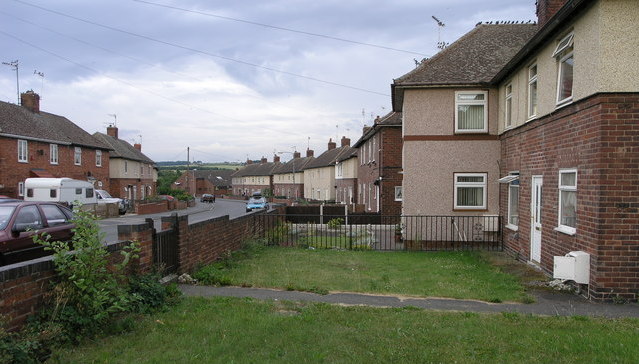
Woodside is primarily a residential area, characterized by picturesque cottages and charming houses that exude a traditional English village atmosphere. The community is tight-knit, with a population of around 500 people. The village is known for its peaceful ambiance and a strong sense of community spirit, making it an ideal place for families and those seeking a tranquil lifestyle.

Although small in size, Woodside offers a range of amenities for its residents. These include a local pub, village hall, and a primary school. The village hall serves as a hub for various social events, such as community gatherings, clubs, and activities, allowing residents to come together and foster a sense of belonging.

Woodside is surrounded by beautiful countryside, providing ample opportunities for outdoor activities. Residents and visitors can enjoy scenic walks, cycling routes, and horse riding trails in the nearby areas. The village is also within close proximity to several nature reserves and parks, offering an abundance of wildlife and natural beauty.

Overall, Woodside is a delightful village in Derbyshire, offering a tranquil and idyllic setting for its residents. With its strong sense of community, beautiful surroundings, and range of amenities, it is a place that provides a perfect balance between rural living and access to larger towns and cities.

If you have any feedback on the listing, please let us know in the comments section below.
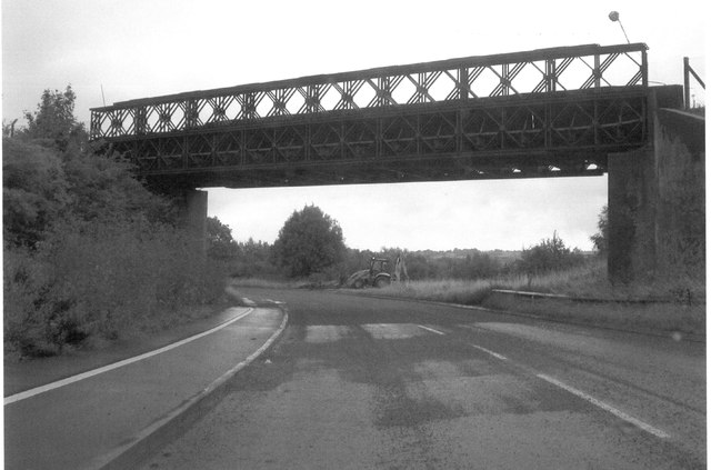
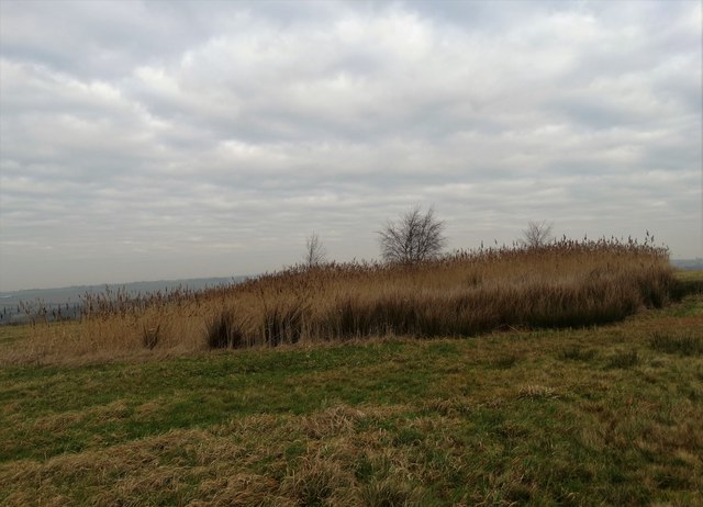
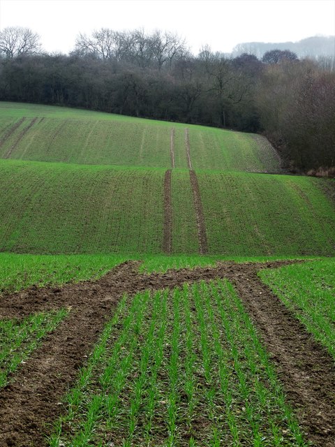
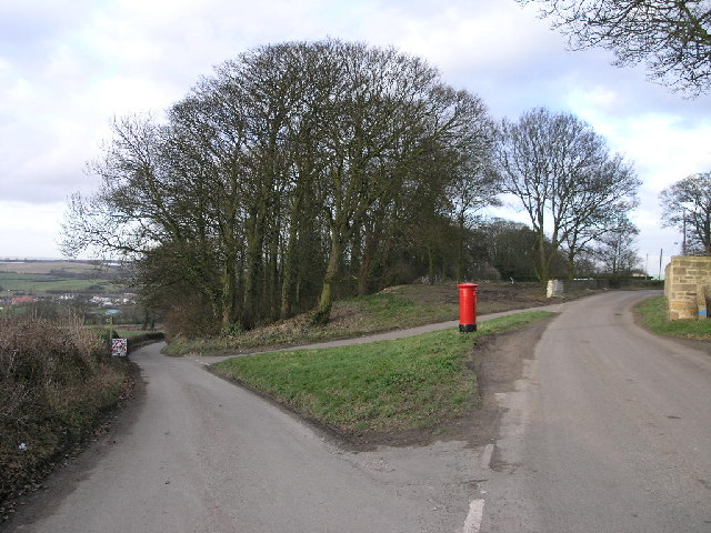
Woodside Images

Images are sourced within 2km of 53.254147/-1.308227 or Grid Reference SK4673. Thanks to Geograph Open Source API. All images are credited.

Roundabout in Markham Vale Dominated by a large Great Bear warehouse. This was formerly the site of Markham Vale Colliery.
Roundabout in Markham Vale
Dominated by a large Great Bear warehouse. This was formerly the site of Markham Vale Colliery.
M1 at Junction 29a
M1 at Junction 29a
M1 near Bank House Farm
Cantilevered advance sign for Junction 29A on M1 One of the signs which have been introduced to replace the flat plate design in use since the first UK motorways.  They are in the line of sight of drivers, rather than on the verge, and are less likely to be hidden behind vehicles in the inner lanes
Cantilevered advance sign for Junction 29A on M1
One of the signs which have been introduced to replace the flat plate design in use since the first UK motorways. They are in the line of sight of drivers, rather than on the verge, and are less likely to be hidden behind vehicles in the inner lanes
Footbridge over M1 for path from Woodside to Woodthorpe
Cantilevered sign and footbridge on M1 near Junction 29A There is a network of footpaths on either side of the M1 in this gridsquare, with two footbridges over the motorway and one tunnel for walkers and farm traffic.  The sign is of the newer style, designed to be easier to see and less likely to be concealed by other vehicles
Cantilevered sign and footbridge on M1 near Junction 29A
There is a network of footpaths on either side of the M1 in this gridsquare, with two footbridges over the motorway and one tunnel for walkers and farm traffic. The sign is of the newer style, designed to be easier to see and less likely to be concealed by other vehicles
Bailey bridge across the A6192 at Poolsbrook It has three rows of panels on top of three rows.
      The top set can be easily seen.
Bailey bridge across the A6192 at Poolsbrook
It has three rows of panels on top of three rows. The top set can be easily seen.
M1, southbound The M1 is a north–south motorway connecting London to Leeds, where it joins the A1(M) near Aberford. It was the first motorway to be completed in the United Kingdom.
The motorway is 193 miles long and was constructed in four phases. Most of the motorway was opened between 1959 and 1968 but the southern end was extended in 1977 and the northern end was extended in 1999.
M1, southbound
The M1 is a north–south motorway connecting London to Leeds, where it joins the A1(M) near Aberford. It was the first motorway to be completed in the United Kingdom. The motorway is 193 miles long and was constructed in four phases. Most of the motorway was opened between 1959 and 1968 but the southern end was extended in 1977 and the northern end was extended in 1999.
Footbridge over the M1 The M1 is a north–south motorway connecting London to Leeds, where it joins the A1(M) near Aberford. It was the first motorway to be completed in the United Kingdom.
The motorway is 193 miles long and was constructed in four phases. Most of the motorway was opened between 1959 and 1968 but the southern end was extended in 1977 and the northern end was extended in 1999.
Footbridge over the M1
The M1 is a north–south motorway connecting London to Leeds, where it joins the A1(M) near Aberford. It was the first motorway to be completed in the United Kingdom. The motorway is 193 miles long and was constructed in four phases. Most of the motorway was opened between 1959 and 1968 but the southern end was extended in 1977 and the northern end was extended in 1999.
Woodhouse Farm at Bolsover Woodhouse
North of Woodhouse Farm Looking towards Bolsover Castle
North of Woodhouse Farm
Looking towards Bolsover Castle
Boggy area on reclaimed industrial land East of the site of what was once Markham Colliery. This grassy hill owes much of its height to coal waste. Markham Colliery was shut down in 1993
Boggy area on reclaimed industrial land
East of the site of what was once Markham Colliery. This grassy hill owes much of its height to coal waste. Markham Colliery was shut down in 1993
Looking towards Bolsover Castle From the now grassy former spoil heap east of the site of Markham Colliery which closed forever in 1993.
Looking towards Bolsover Castle
From the now grassy former spoil heap east of the site of Markham Colliery which closed forever in 1993.
Yew Farm, Stanfree On Church Road
Yew Farm, Stanfree
On Church Road
Farmland east of Hawks Brook Looking to Fox Covert
Farmland east of Hawks Brook
Looking to Fox Covert
Pillar box at Oxcroft Looking down the hill to Stanfree
Pillar box at Oxcroft
Looking down the hill to Stanfree
Walkers on Oxcroft Lane
Footbridge over M1 near Staveley
Show me another place!

Woodside is located at Grid Ref: SK4673 (Lat: 53.254147, Lng: -1.308227)

Administrative County: Derbyshire

District: Bolsover

Police Authority: Derbyshire

What 3 Words

///vest.holly.itself. Near Staveley, Derbyshire

Nearby Locations

Woodside

Related Wikis

Bentinck, Derbyshire

Bentinck is a village in Derbyshire, England. Located north of Bolsover, it consists of two rows of terrace houses, a park and some garages. Bentinck is...

Shuttlewood

Shuttlewood is a village situated about 2 miles north of Bolsover, in Bolsover District, Derbyshire, England. It is centred on the crossroads of two main...

Markham Colliery disaster

Mining accidents at the Markham Colliery at Staveley near Chesterfield, Derbyshire, England. == Accident in 1973 == On 30 July 1973, 18 coal miners lost...

Oxcroft

Oxcroft is a small hamlet in Bolsover (district), Derbyshire in England, located to the north of Bolsover, about 1–2 miles along the Clowne-New Houghton...

Stanfree

Stanfree is a community/village in Bolsover (district), county of Derbyshire, consisting of a couple of rows of terraced cottages, lying halfway between...

Duckmanton

Duckmanton is a village within the civil parish of Sutton cum Duckmanton, in North East Derbyshire, between Bolsover and Chesterfield. Duckmanton is a...

Poolsbrook

Poolsbrook (grid reference SK442736) is a former mining village near Staveley in North East Derbyshire, England. The village was built by Staveley Coal...

Bolsover Castle railway station

Bolsover Castle is a former railway station in Bolsover, Derbyshire, England. == Context == The station was built by the Midland Railway on the circuitous...

Nearby Amenities

Located within 500m of 53.254147,-1.308227
Post Box
Collection Times: Mo-Fr 09:00; Sa 07:00
Post Box Type: wall
Ref: S44 85D
Royal Cypher: EVIIR
Royal Cypher Wikidata: Q33102324
Lat/Long: 53.2555339/-1.3033459
Addr City: Chesterfield
Addr Housenumber: 22
Addr Postcode: S44 6RD
Addr Street: Woodthorpe Road
Addr Suburb: Shuttlewood
Lat/Long: 53.2516947/-1.3029032
Addr City: Chesterfield
Addr Housenumber: 24
Addr Postcode: S44 6RD
Addr Street: Woodthorpe Road
Addr Suburb: Shuttlewood
Lat/Long: 53.2517283/-1.3028516
Addr City: Chesterfield
Addr Housenumber: 26
Addr Postcode: S44 6RD
Addr Street: Woodthorpe Road
Addr Suburb: Shuttlewood
Lat/Long: 53.2518035/-1.302663
Bus Stop
Bus: yes
Naptan AtcoCode: 1000DSWL7786
Naptan NaptanCode: dbsdgtpw
Public Transport: platform
Lat/Long: 53.2575053/-1.30489
Bus Stop
Bus: yes
Public Transport: platform
Lat/Long: 53.2573659/-1.3046239
Barrier: cycle_barrier
Lat/Long: 53.2529309/-1.3010834
Bus Stop
Bus: yes
Public Transport: platform
Lat/Long: 53.2552091/-1.3032078
The data included in this document is from www.openstreetmap.org. The data is made available under ODbL.

Have you been to Woodside?

Leave your review of Woodside below (or comments, questions and feedback).