Alburgh

Settlement in Norfolk South Norfolk

England

Alburgh

Direction Sign – Signpost on Norwich Road, Denton Located on the north side of the T junction of Norwich Road and Chapel Hill in Denton parish. 3 arms and cap finial. See also <a title="https://www.geograph.org.uk/photo/4166781" href="https://www.geograph.org.uk/photo/4166781">Link</a>.

Milestone Society National ID: NO_TM2788
Direction Sign – Signpost on Norwich Road, Denton Credit: A Farthing

Alburgh is a village located in the county of Norfolk, England. Situated in the South Norfolk district, it lies approximately 20 miles south of the city of Norwich. With a population of around 500 residents, Alburgh is a small but vibrant community.

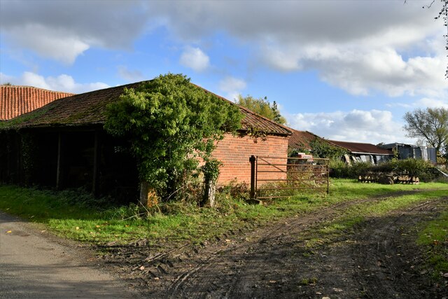
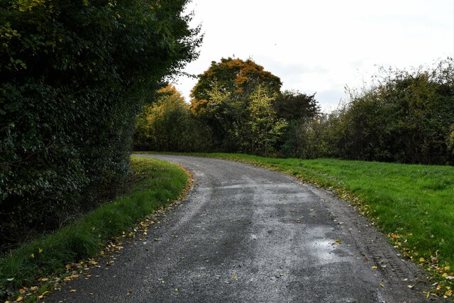
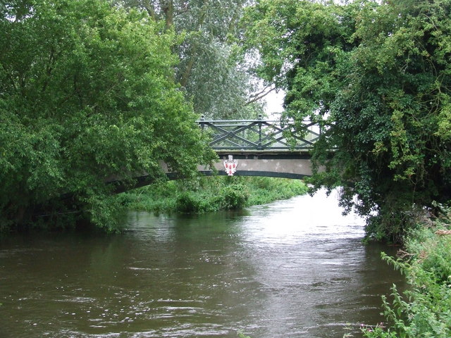
The village is nestled amidst picturesque countryside, characterized by rolling hills and lush green fields. It is surrounded by several other charming villages, including Denton, Wortwell, and Starston. The River Waveney flows nearby, adding to the natural beauty of the area.

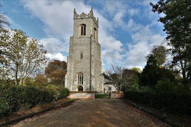
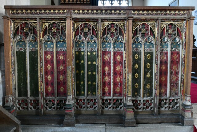
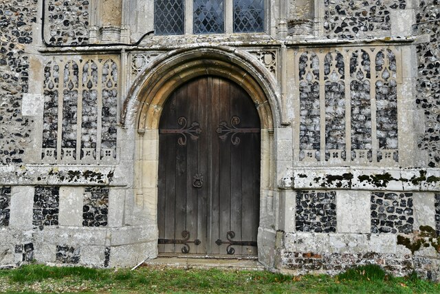
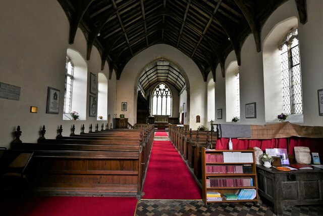
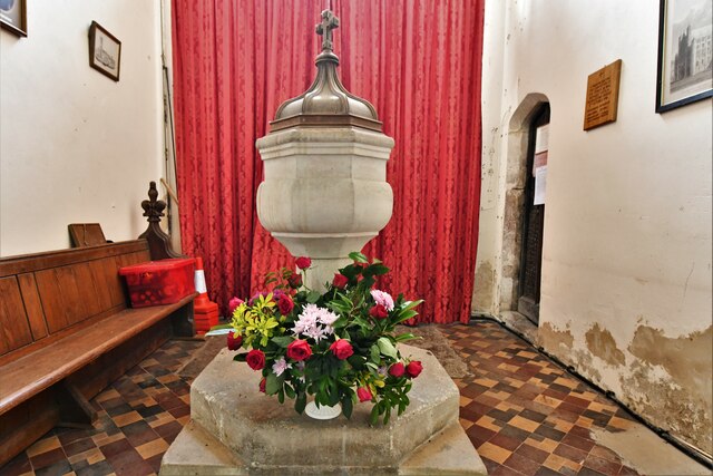
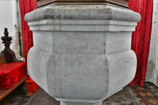
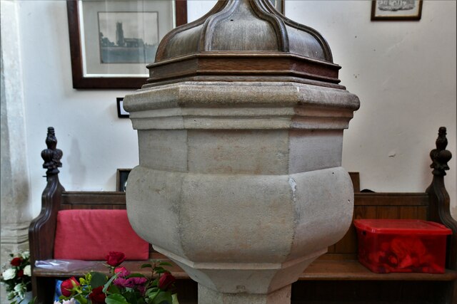
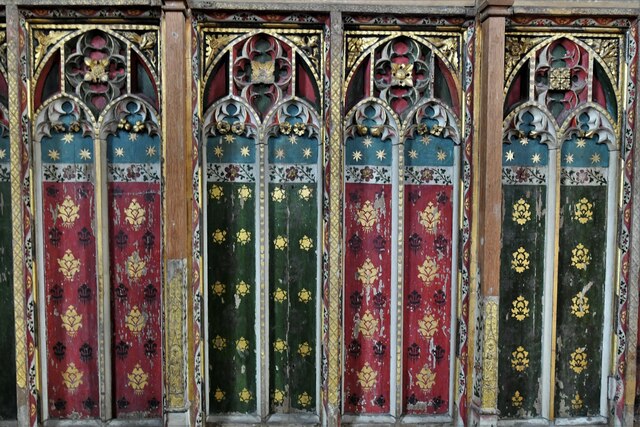
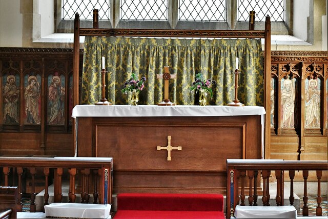
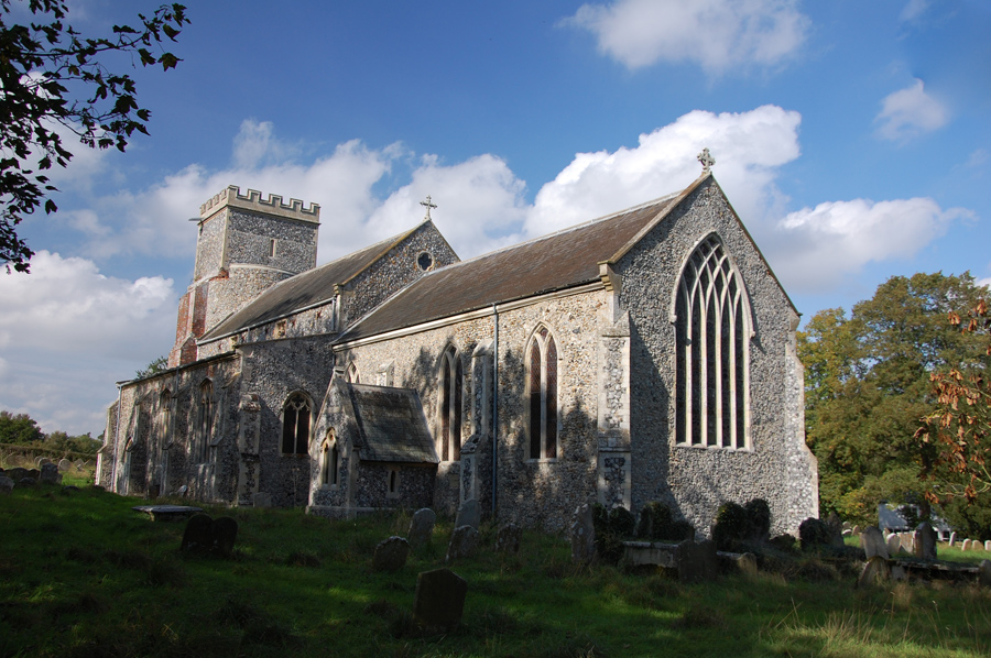
Alburgh is known for its rich history, dating back to medieval times. The village features a 14th-century church, dedicated to All Saints, which stands as a testament to its ancient roots. The church is renowned for its impressive stained glass windows and intricate stone carvings.

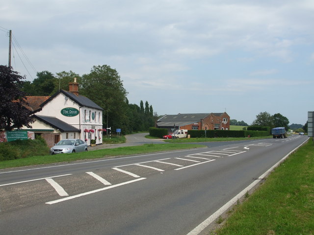
The village offers a range of amenities to its residents and visitors. There is a primary school, a community center, and a village hall that hosts various events throughout the year. Alburgh also has a traditional village pub, where locals and tourists can enjoy a drink and a meal.

The surrounding countryside offers ample opportunities for outdoor activities, such as walking, cycling, and fishing. The nearby Waveney Valley provides stunning views and tranquil spots for relaxation. Additionally, the village is within easy reach of the Norfolk Broads, a network of rivers and lakes famous for its wildlife and boating opportunities.

Overall, Alburgh is a charming village that combines a rich history, natural beauty, and a close-knit community, making it an attractive place to live or visit in Norfolk.

If you have any feedback on the listing, please let us know in the comments section below.
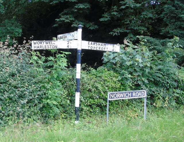
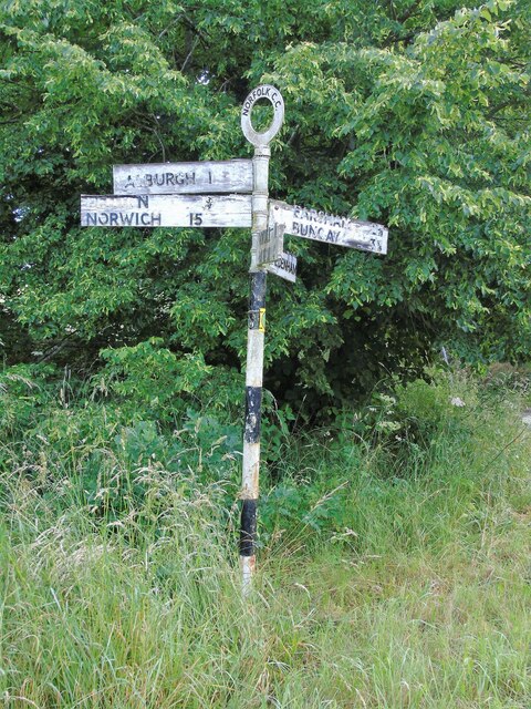
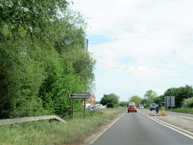
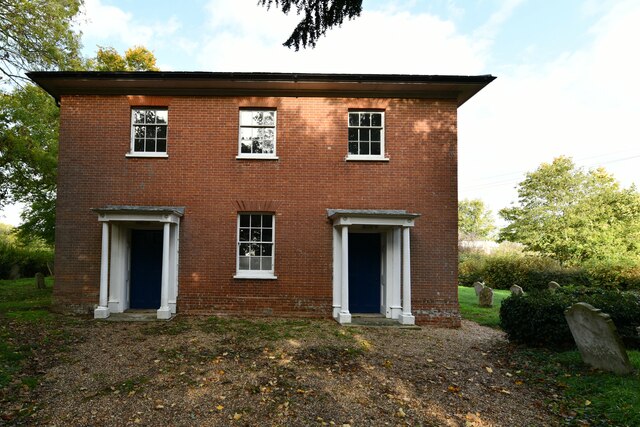
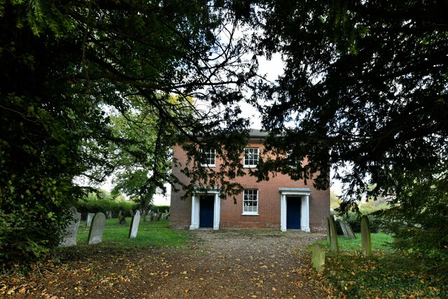
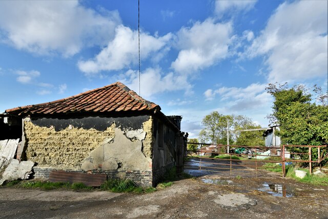
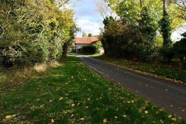
Alburgh Images

Images are sourced within 2km of 52.431432/1.339001 or Grid Reference TM2786. Thanks to Geograph Open Source API. All images are credited.

Direction Sign – Signpost on Norwich Road, Denton Located on the north side of the T junction of Norwich Road and Chapel Hill in Denton parish. 3 arms and cap finial. See also <a title="https://www.geograph.org.uk/photo/4166781" href="https://www.geograph.org.uk/photo/4166781">Link</a>.

Milestone Society National ID: NO_TM2788
Direction Sign – Signpost on Norwich Road, Denton
Located on the north side of the T junction of Norwich Road and Chapel Hill in Denton parish. 3 arms and cap finial. See also Link. Milestone Society National ID: NO_TM2788
Direction Sign – Signpost on Danacre Road, Denton Located on the northeast side of the crossroads of Denton Road, Danacre Road and Alburgh Road in Denton parish. 5 arms and annulus finial. See also <a title="https://www.geograph.org.uk/photo/4167419" href="https://www.geograph.org.uk/photo/4167419">Link</a>.

Milestone Society National ID: NO_TM2887
Direction Sign – Signpost on Danacre Road, Denton
Located on the northeast side of the crossroads of Denton Road, Danacre Road and Alburgh Road in Denton parish. 5 arms and annulus finial. See also Link. Milestone Society National ID: NO_TM2887
A143 east at turning for Alburgh
Denton United Reformed Church
Denton: Haggards Farm
Alburgh, All Saints Church: Western aspect
Denton: Paynes Hill
Denton: Paynes Hill
Denton: Paynes Hill Farm
Denton: Paynes Hill
Denton: Paynes Hill
Alburgh, All Saints Church: c15th screen dado
Alburgh, All Saints Church: Western entrance
Alburgh, All Saints Church: The nave
Alburgh, All Saints Church: The font
Alburgh, All Saints Church: c15th screen dado (detail)
Alburgh, All Saints Church: The altar
Show me another place!

Alburgh is located at Grid Ref: TM2786 (Lat: 52.431432, Lng: 1.339001)

Administrative County: Norfolk

District: South Norfolk

Police Authority: Norfolk

What 3 Words

///canine.locating.receiving. Near Harleston, Norfolk

Related Wikis

Alburgh

Alburgh is a village and civil parish in the English county of Norfolk. It lies about four miles (6 km) north-east of Harleston and 16 miles (26 km) south...

Homersfield railway station

Homersfield was a railway station which served the village of Homersfield in Suffolk, England, although the station was located in Alburgh, across the...

Homersfield Bridge

Homersfield Bridge is a road bridge across the River Waveney between Norfolk and Suffolk, and stands partly in the civil parishes of Alburgh and Wortwell...

Wortwell railway station

Wortwell was a station in the small hamlet of Wortwell, Norfolk. It was opened in 1855, as part of the Waveney Valley Line between Tivetshall and Beccles...

Homersfield

Homersfield, also known as St Mary, South Elmham, is a village and civil parish in the north of the English county of Suffolk. It is in the East Suffolk...

Denton, Norfolk

Denton is a village and civil parish in the English county of Norfolk. Denton is located 3.8 miles north-east of Harleston and 13 miles south of Norwich...

Wortwell

Wortwell is a village and civil parish in the English county of Norfolk and adjoining the county of Suffolk. It is located on both the River Waveney (which...

Flixton Quarry

Flixton Quarry is a 0.7 hectares (1.7 acres) geological Site of Special Scientific Interest 3.75 miles (6.04 km) south-west of Bungay in the English county...

Nearby Amenities

Located within 500m of 52.431432,1.339001
Alburgh
Place: village
Source Name: OS_OpenData_StreetView
Lat/Long: 52.4287664/1.3426422
Post Box
Operator: Royal Mail
Post Box Mounting: brick_pillar
Post Box Type: wall
Ref: IP20 7076
Lat/Long: 52.4315078/1.3388361
Power: pole
Lat/Long: 52.4343977/1.3437961
Power: pole
Lat/Long: 52.4338189/1.3425972
Power: pole
Lat/Long: 52.4325487/1.3340852
Power: pole
Lat/Long: 52.433072/1.3332295
Power: pole
Lat/Long: 52.4290064/1.3390928
Power: pole
Lat/Long: 52.4273954/1.3392833
Power: pole
Lat/Long: 52.4281429/1.3391653
Power: pole
Lat/Long: 52.4296606/1.3389507
Power: pole
Lat/Long: 52.4307972/1.3370463
Power: pole
Lat/Long: 52.4313663/1.3360941
Power: pole
Lat/Long: 52.4302935/1.3378939
Power: pole
Lat/Long: 52.4311226/1.3394442
Power: pole
Lat/Long: 52.4317146/1.3404018
Power: pole
Lat/Long: 52.4330041/1.3418823
Give Way
Lat/Long: 52.4343424/1.3416058
Give Way
Lat/Long: 52.4343379/1.341426
Location Transition: yes
Power: pole
Lat/Long: 52.4321611/1.3379274
Power: pole
Lat/Long: 52.4317915/1.3369578
Colour: grey
Man Made: barrier
Material: metal
Lat/Long: 52.434103/1.3413318
The data included in this document is from www.openstreetmap.org. The data is made available under ODbL.

Have you been to Alburgh?

Leave your review of Alburgh below (or comments, questions and feedback).