Albury

Settlement in Hertfordshire East Hertfordshire

England

Albury

Building new section of the A120 This will bypass Little Hadham. The original section of the A120 follows a Roman road.
Building new section of the A120 Credit: Bikeboy

Albury is a small village located in the county of Hertfordshire, England. Situated approximately 5 miles east of the town of Ware, it is nestled amidst the picturesque rural landscape of the East Hertfordshire district. With a population of just over 500 residents, Albury is renowned for its quaint and tranquil setting.

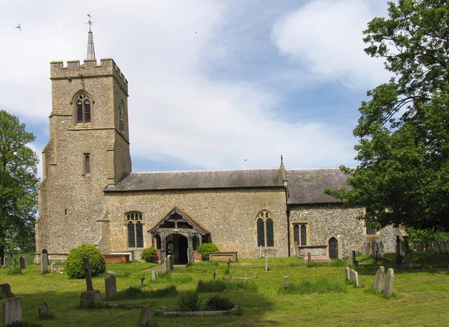
The village is characterized by its traditional English architecture, with many historic buildings and thatched cottages dating back several centuries. The centerpiece of Albury is the beautiful St. Mary the Virgin Church, a Grade I listed building that showcases stunning medieval craftsmanship.

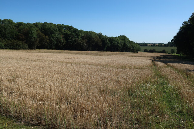
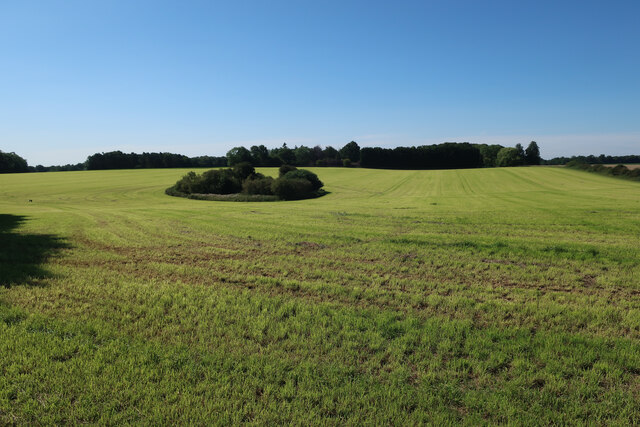
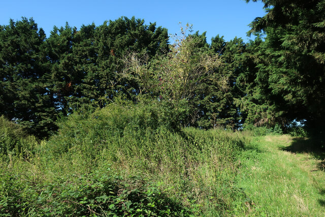
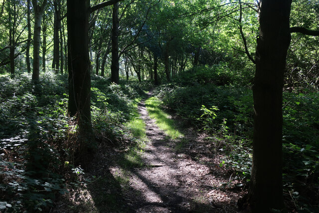
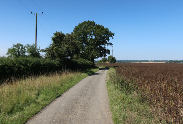
Nature enthusiasts are drawn to Albury for its stunning countryside, which offers captivating walking trails and breathtaking views of the surrounding hills and valleys. The village is also home to Albury Estate, which covers a vast expanse of over 3,000 acres and is known for its diverse wildlife and ancient woodlands.

Despite its small size, Albury has a strong sense of community, with several local events and festivities that bring residents together throughout the year. The village boasts a village hall, a primary school, and a welcoming pub that serves as a hub for social gatherings.

Albury's proximity to nearby towns such as Ware and Hertford provides residents with easy access to a range of amenities and services. Additionally, its location allows for convenient transportation links, with major roads and rail connections nearby.

In summary, Albury offers a charming and idyllic lifestyle for its residents, combining natural beauty, rich history, and a close-knit community spirit.

If you have any feedback on the listing, please let us know in the comments section below.
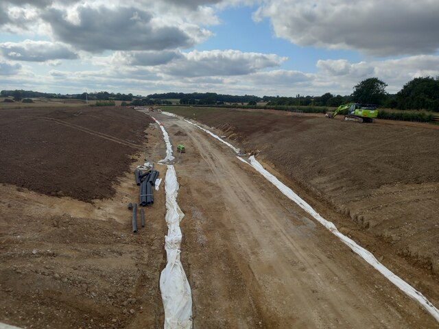
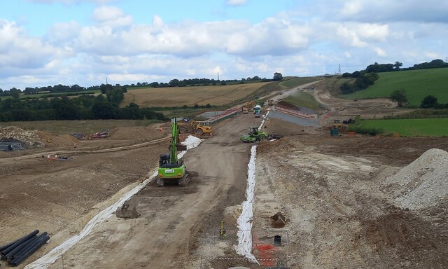
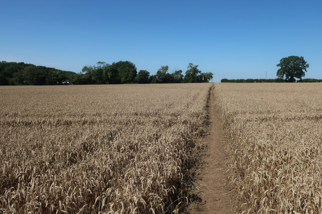
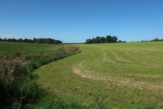
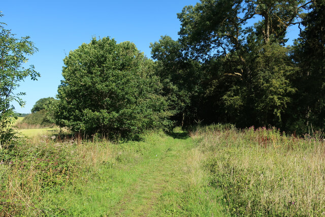
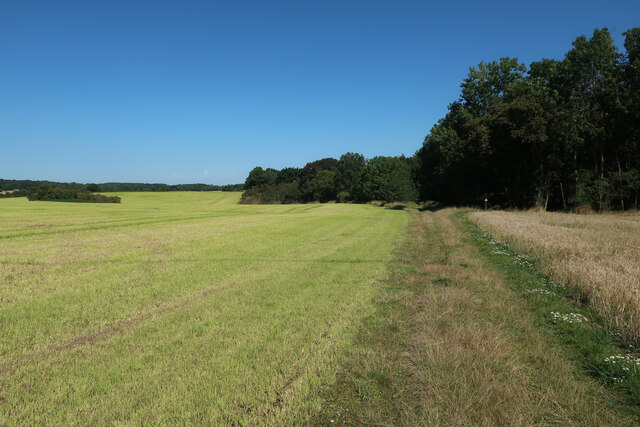
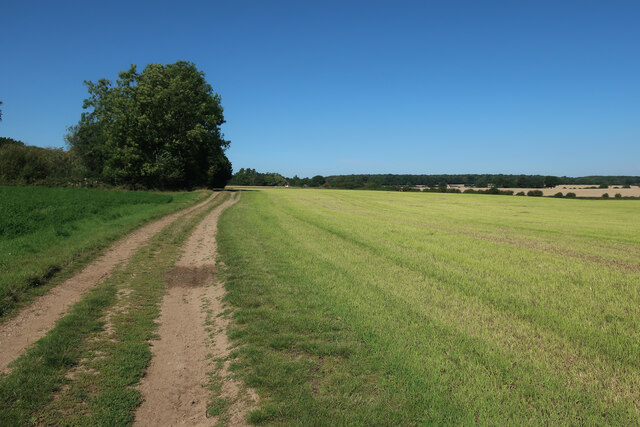
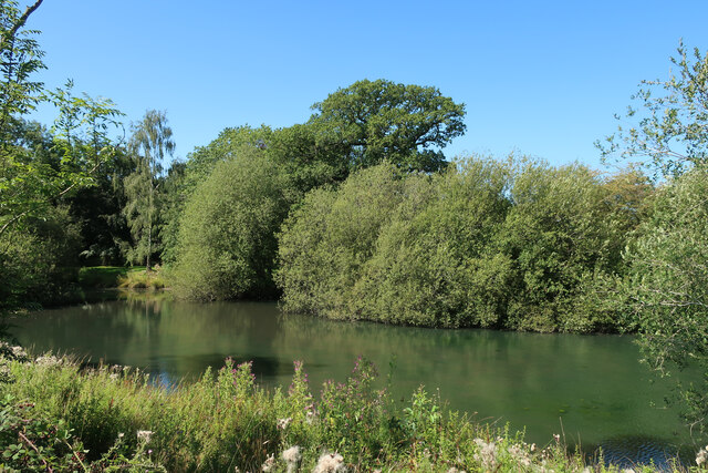
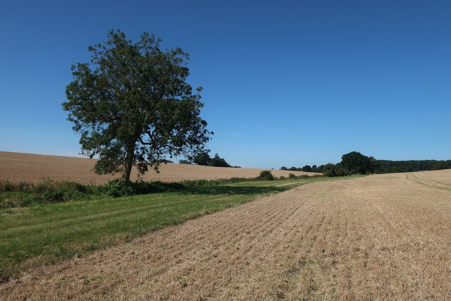
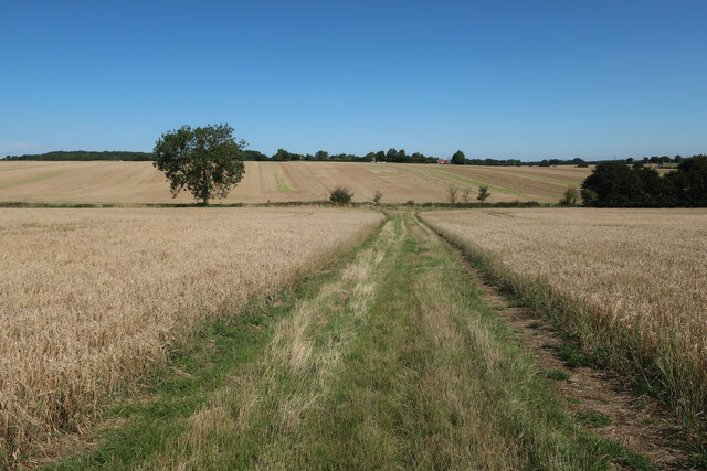
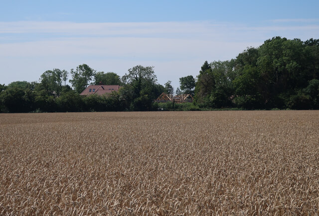
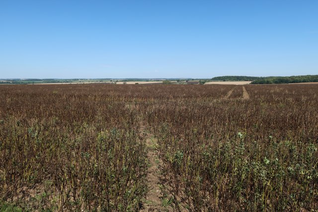
Albury Images

Images are sourced within 2km of 51.901825/0.080046199 or Grid Reference TL4324. Thanks to Geograph Open Source API. All images are credited.

Building new section of the A120 This will bypass Little Hadham. The original section of the A120 follows a Roman road.
Building new section of the A120
This will bypass Little Hadham. The original section of the A120 follows a Roman road.
Building new section of the A120, looking east This will bypass Little Hadham. The original section of the A120 follows a Roman road.
Building new section of the A120, looking east
This will bypass Little Hadham. The original section of the A120 follows a Roman road.
Path through the wheat Somewhat straighter than the mapped route.
Path through the wheat
Somewhat straighter than the mapped route.
Fields near Albury Hall
Hertfordshire Way through stubble field
Field between the woods With Oaken Spring wood behind.
Field between the woods
With Oaken Spring wood behind.
Pond in a field
Pond in a field
Footpath through Oaken Spring
Footpath into Oaken Spring
Footpath to Oaken Spring
Hertfordshire Way to Kitchers
Kitchers Pond
Kitchers Pond
Fields by Hertfordshire Way
Hertfordshire Way towards Patient End
Wheat field by Flowerlands
Field near Cockhamstead
Hertfordshire Way towards Windcott
Show me another place!

Albury is located at Grid Ref: TL4324 (Lat: 51.901825, Lng: 0.080046199)

Administrative County: Hertfordshire

District: East Hertfordshire

Police Authority: Hertfordshire

What 3 Words

///incursion.exile.lifeboats. Near Puckeridge, Hertfordshire

Nearby Locations

Albury

Related Wikis

Albury End

Albury End is a hamlet in Hertfordshire, England. It is in the civil parish of Albury. == External links == Media related to Albury End at Wikimedia Commons

Albury, Hertfordshire

Albury is a village and civil parish in the East Hertfordshire district of Hertfordshire, England, about five miles west of Bishop's Stortford. According...

Patmore Heath

Patmore Heath is a 7.6 hectares (19 acres) biological Site of Special Scientific Interest in East Hertfordshire, England, 2 kilometres north-east of Albury...

Little Hadham

Little Hadham is a village and civil parish in the district of East Hertfordshire, Hertfordshire, England. At the census of 2001 it had a population of...

Barleycroft End

Barleycroft End is a hamlet in Hertfordshire, England. It is in the civil parish of Furneux Pelham. == External links == Media related to Barleycroft...

Hillcollins Pit

Hillcollins Pit or Furneux Pelham Gravel Pit is a 0.2-hectare (0.49-acre) geological Site of Special Scientific Interest near Furneux Pelham in Hertfordshire...

Wellpond Green

Wellpond Green is a hamlet near the A120 road and the town of Bishop's Stortford, in the county of Hertfordshire, England. Wellpond Green contains 4 listed...

Braughing Friars

Braughing Friars is a hamlet in Hertfordshire, England. It is in the civil parish of Braughing. == External links == Media related to Braughing Friars...

Nearby Amenities

Located within 500m of 51.901825,0.080046199
St Mary the Virgin Church
Naptan AtcoCode: 210021360010
Naptan Bearing: E
Naptan BusStopType: CUS
Naptan CommonName: St Mary the Virgin Church
Naptan Crossing: Albury JMI School
Naptan Indicator: o/s
Naptan Landmark: Albury JMI School
Naptan NaptanCode: hrtdmtdp
Naptan ShortCommonName: NA
Naptan Street: Parsonage Lane
Naptan Verified: no
Public Transport: platform
Source: naptan_import
Lat/Long: 51.9024267/0.0853746
St Mary the Virgin Church
Naptan AtcoCode: 210021360030
Naptan Bearing: W
Naptan BusStopType: CUS
Naptan CommonName: St Mary the Virgin Church
Naptan Crossing: opp Albury JMI School
Naptan Indicator: opp
Naptan Landmark: opp Albury JMI School
Naptan NaptanCode: hrtdmtga
Naptan ShortCommonName: NA
Naptan Street: Parsonage Lane
Naptan Verified: no
Public Transport: platform
Source: naptan_import
Lat/Long: 51.9023521/0.0852578
Ele: 103
Lat/Long: 51.9015487/0.0799611
Post Box
Church End
Collection Times: Mo-Fr 16:15; Sa 07:00
Post Box Type: wall
Ref: SG11 86
Royal Cypher: GR
Royal Cypher Wikidata: Q33102273
Lat/Long: 51.9021596/0.0828801
Power: pole
Lat/Long: 51.9024758/0.073109
Power: pole
Lat/Long: 51.9020902/0.076089
Power: pole
Lat/Long: 51.9027985/0.0829903
Power: pole
Lat/Long: 51.9023252/0.0745467
Material: wood
Power: pole
Lat/Long: 51.904211/0.0861953
Power: pole
Lat/Long: 51.9036558/0.0846613
Power: pole
Lat/Long: 51.9024576/0.0802705
Power: pole
Lat/Long: 51.9024162/0.0822232
Power: pole
Lat/Long: 51.9022838/0.0771645
Power: pole
Lat/Long: 51.9032453/0.0838513
Power: pole
Lat/Long: 51.902494/0.0782937
Turning Loop
Lat/Long: 51.9016084/0.0807184
Addr Housename: Church Cottage
Lat/Long: 51.9023846/0.0856349
Addr Housename: Church End Cottage
Lat/Long: 51.9023615/0.0857958
Addr Housename: Church End East Cottage
Lat/Long: 51.9022487/0.0829098
Addr Housenumber: 11
Lat/Long: 51.9019839/0.0794256
Addr Housenumber: 7
Lat/Long: 51.9019327/0.078747
Addr Housenumber: 6
Lat/Long: 51.901926/0.0781515
Addr Housenumber: 1
Lat/Long: 51.9019393/0.0785109
Addr Housenumber: 10
Lat/Long: 51.9019624/0.0792164
Addr Housenumber: 8
Lat/Long: 51.9019459/0.0788784
Addr Housenumber: 9
Lat/Long: 51.9019608/0.0790769
Addr City: Albury
Addr Housename: The Stables
Addr Street: Parsonage Lane
Lat/Long: 51.9017642/0.0776929
Addr Housename: Church End West Cottage
Lat/Long: 51.9022191/0.0827864
Bench
Backrest: yes
Lat/Long: 51.902588/0.0853157
New Woodlands
Natural: wood
Source: https://webmaps.hertfordshire.gov.uk/row/row.htm
Lat/Long: 51.905058/0.0800334
The data included in this document is from www.openstreetmap.org. The data is made available under ODbL.

Have you been to Albury?

Leave your review of Albury below (or comments, questions and feedback).