Piccadilly Corner

Settlement in Norfolk South Norfolk

England

Piccadilly Corner

Direction Sign – Signpost on Danacre Road, Denton Located on the northeast side of the crossroads of Denton Road, Danacre Road and Alburgh Road in Denton parish. 5 arms and annulus finial. See also <a title="https://www.geograph.org.uk/photo/4167419" href="https://www.geograph.org.uk/photo/4167419">Link</a>.

Milestone Society National ID: NO_TM2887
Direction Sign – Signpost on Danacre Road, Denton Credit: A Farthing

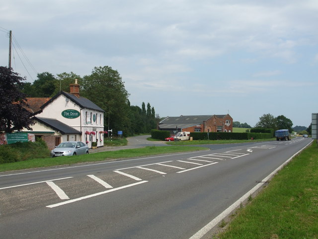
Piccadilly Corner is a small rural community located in Norfolk County, England. Situated in the East of England region, it lies approximately 20 miles south-west of the city of Norwich. The area is characterized by its picturesque countryside, rolling hills, and charming village atmosphere.

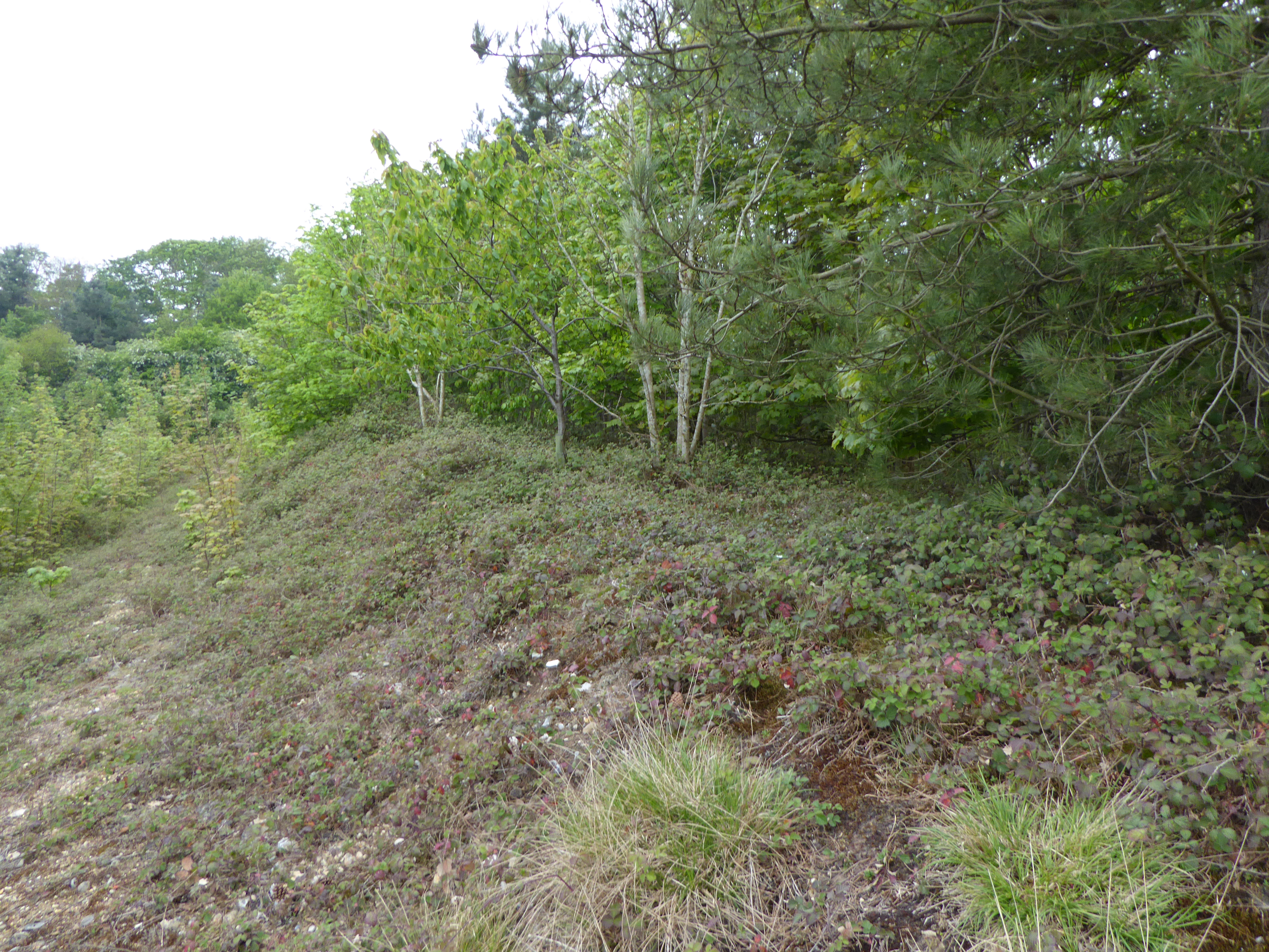
The community is known for its quaint cottages, many of which date back several centuries, giving it a rich historical heritage. The architecture reflects the traditional English countryside style, with thatched roofs and exposed timber frames. The village is surrounded by lush green fields and woodland, offering residents and visitors a peaceful and idyllic setting.

Despite its rural location, Piccadilly Corner benefits from good transport links. The A11 road runs nearby, connecting it to major cities such as Norwich and Cambridge, making it accessible to commuters and travelers. The village is also served by a regular bus service, providing easy access to neighboring towns.

While Piccadilly Corner is primarily a residential area, it offers a range of amenities for its residents. These include a local village hall, a church, and a small convenience store. The community spirit is strong, with various local events and gatherings taking place throughout the year, fostering a sense of unity and belonging.

In summary, Piccadilly Corner is a charming and tranquil village in Norfolk County, offering residents a peaceful countryside lifestyle while still being well-connected to nearby towns and cities. Its picturesque setting and historical architecture make it an attractive location for those seeking a slower pace of life away from the hustle and bustle of urban areas.

If you have any feedback on the listing, please let us know in the comments section below.

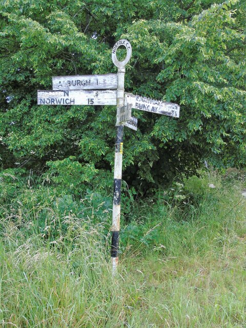
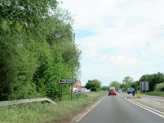
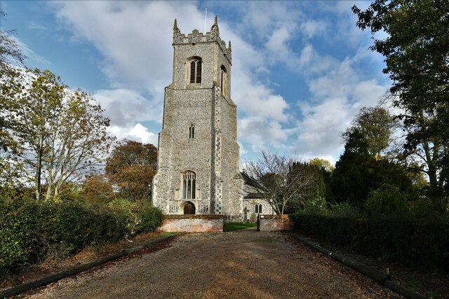
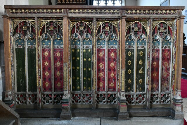
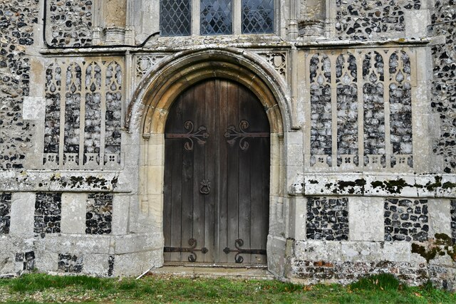
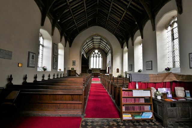
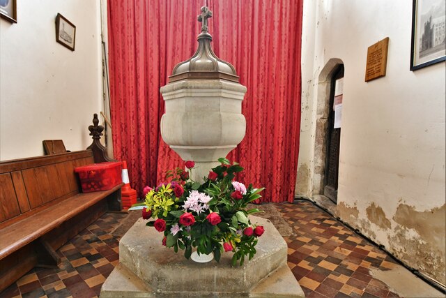
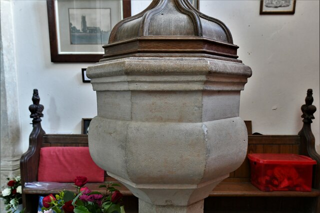
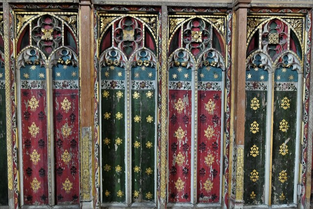
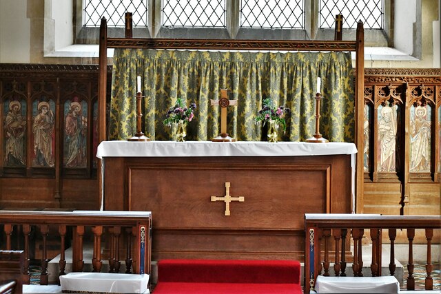
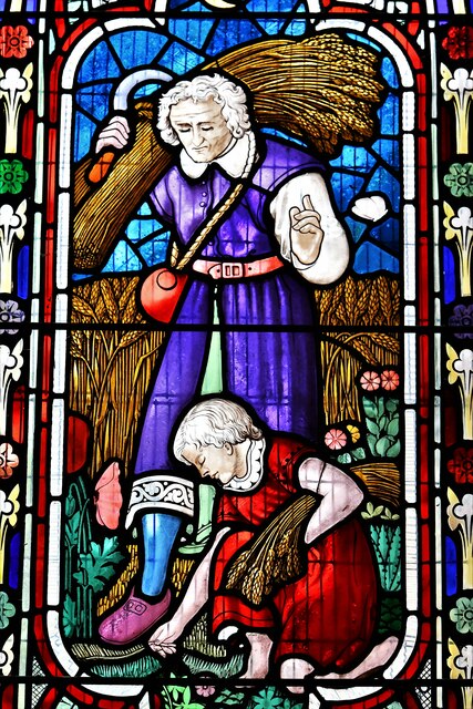
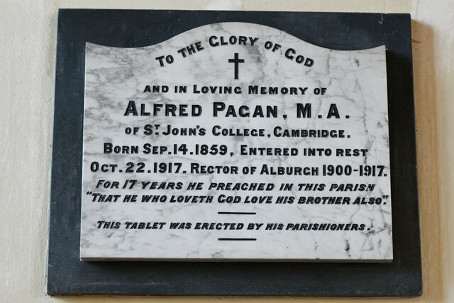
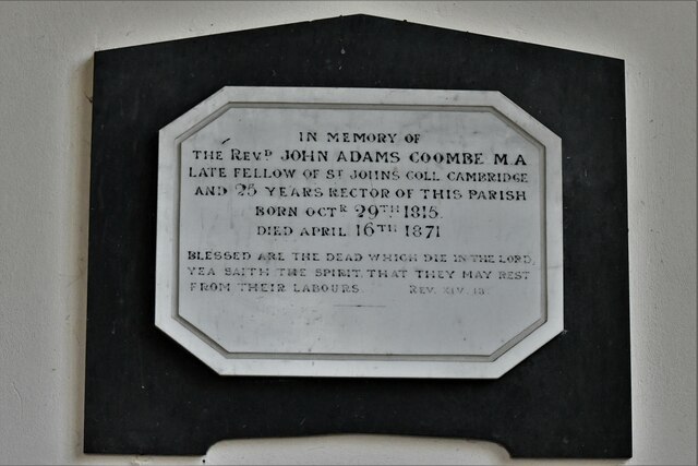
Piccadilly Corner Images

Images are sourced within 2km of 52.42653/1.339645 or Grid Reference TM2786. Thanks to Geograph Open Source API. All images are credited.

Direction Sign – Signpost on Danacre Road, Denton Located on the northeast side of the crossroads of Denton Road, Danacre Road and Alburgh Road in Denton parish. 5 arms and annulus finial. See also <a title="https://www.geograph.org.uk/photo/4167419" href="https://www.geograph.org.uk/photo/4167419">Link</a>.

Milestone Society National ID: NO_TM2887
Direction Sign – Signpost on Danacre Road, Denton
Located on the northeast side of the crossroads of Denton Road, Danacre Road and Alburgh Road in Denton parish. 5 arms and annulus finial. See also Link. Milestone Society National ID: NO_TM2887
A143 east at turning for Alburgh
Alburgh, All Saints Church: Western aspect
Alburgh, All Saints Church: c15th screen dado
Alburgh, All Saints Church: Western entrance
Alburgh, All Saints Church: The nave
Alburgh, All Saints Church: The font
Alburgh, All Saints Church: c15th screen dado (detail)
Alburgh, All Saints Church: The altar
Alburgh, All Saints Church: Detail of chancel stained glass window
Alburgh, All Saints Church: The Alfred Pagan memorial plaque
Alburgh, All Saints Church: The Rev. John Adams Coombe memorial plaque
Alburgh, All Saints Church: First World War memorial plaque 1
Alburgh, All Saints Church: First World War memorial plaque 2
Show me another place!

Piccadilly Corner is located at Grid Ref: TM2786 (Lat: 52.42653, Lng: 1.339645)

Administrative County: Norfolk

District: South Norfolk

Police Authority: Norfolk

What 3 Words

///matchbox.pursue.touched. Near Harleston, Norfolk

Related Wikis

Alburgh

Alburgh is a village and civil parish in the English county of Norfolk. It lies about four miles (6 km) north-east of Harleston and 16 miles (26 km) south...

Homersfield railway station

Homersfield was a railway station which served the village of Homersfield in Suffolk, England, although the station was located in Alburgh, across the...

Wortwell railway station

Wortwell was a station in the small hamlet of Wortwell, Norfolk. It was opened in 1855, as part of the Waveney Valley Line between Tivetshall and Beccles...
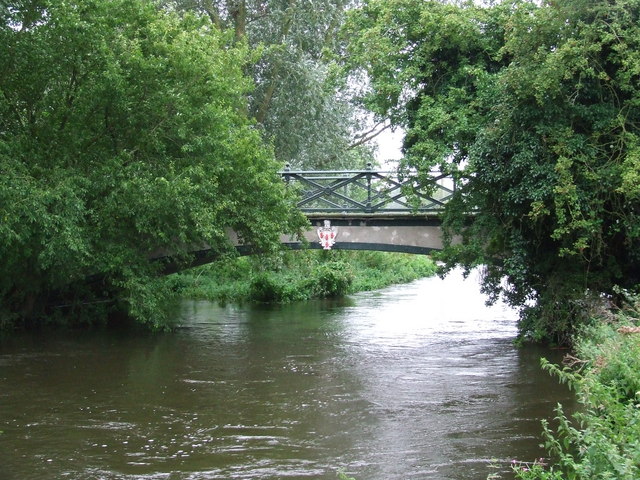
Homersfield Bridge

Homersfield Bridge is a road bridge across the River Waveney between Norfolk and Suffolk, and stands partly in the civil parishes of Alburgh and Wortwell...

Wortwell

Wortwell is a village and civil parish in the English county of Norfolk and adjoining the county of Suffolk. It is located on both the River Waveney (which...

Homersfield

Homersfield, also known as St Mary, South Elmham, is a village and civil parish in the north of the English county of Suffolk. It is in the East Suffolk...

Flixton Quarry

Flixton Quarry is a 0.7 hectares (1.7 acres) geological Site of Special Scientific Interest 3.75 miles (6.04 km) south-west of Bungay in the English county...

Church of the Assumption of the Blessed Virgin Mary, Redenhall

The Church of the Assumption of the Blessed Virgin Mary, Redenhall (St. Mary's Church) is a Grade I listed parish church in the Church of England in Redenhall...

Nearby Amenities

Located within 500m of 52.42653,1.339645
Piccadilly Corner, W-bound
Naptan AtcoCode: 2900A044
Naptan Bearing: W
Naptan BusStopType: CUS
Naptan CommonName: Piccadilly Corner
Naptan Indicator: W-bound
Naptan Locality: Alburgh
Naptan NaptanCode: nfoadajt
Naptan Street: Station Road
Naptan Verified: no
Source: naptan_import
Lat/Long: 52.426373/1.3411861
Piccadilly Corner, E-bound
Naptan AtcoCode: 2900A049
Naptan Bearing: E
Naptan BusStopType: CUS
Naptan CommonName: Piccadilly Corner
Naptan Indicator: E-bound
Naptan Locality: Alburgh
Naptan NaptanCode: nfoadamj
Naptan Street: Station Road
Naptan Verified: no
Source: naptan_import
Lat/Long: 52.4265324/1.3412717
Barrier: stile
Bicycle: yes
Foot: yes
Lat/Long: 52.4254516/1.3378358
Alburgh
Place: village
Source Name: OS_OpenData_StreetView
Lat/Long: 52.4287664/1.3426422
Barrier: stile
Bicycle: yes
Foot: yes
Stile: squeezer
Lat/Long: 52.4241723/1.3355782
Barrier: stile
Bicycle: yes
Foot: yes
Lat/Long: 52.4251636/1.3375875
Barrier: stile
Bicycle: yes
Foot: yes
Material: wood
Stile: stepover
Lat/Long: 52.4264286/1.3405913
Alburgh
Inscription: Silver Jubilee 1952-1977
Man Made: village_sign
Material: wood
Lat/Long: 52.4265419/1.3408406
Power: pole
Transformer: distribution
Lat/Long: 52.4250149/1.339652
Power: pole
Lat/Long: 52.4258548/1.3395247
Power: pole
Lat/Long: 52.4290064/1.3390928
Power: pole
Lat/Long: 52.4266889/1.3394093
Power: pole
Lat/Long: 52.4273954/1.3392833
Power: pole
Lat/Long: 52.4281429/1.3391653
Power: pole
Lat/Long: 52.4296606/1.3389507
Power: pole
Lat/Long: 52.4302935/1.3378939
Power: pole
Lat/Long: 52.4242298/1.3397856
Power: pole
Lat/Long: 52.4228446/1.3405358
Public Footpath
Hiking: yes
Information: guidepost
Inscription: Circular Walk / Norfolk Trails
Material: wood
Tourism: information
Lat/Long: 52.4229466/1.3381219
Generator Method: photovoltaic
Generator Output Electricity: yes
Generator Solar Modules: 16
Generator Source: solar
Generator Type: solar_photovoltaic_panel
Location: roof
Power: generator
Lat/Long: 52.4243148/1.3353076
Power: pole
Lat/Long: 52.4248857/1.3383003
Power: pole
Lat/Long: 52.4247548/1.336931
Power: pole
Lat/Long: 52.4252177/1.3359815
Power: pole
Lat/Long: 52.4258049/1.3346853
Power: pole
Lat/Long: 52.4264575/1.3333006
Communication Mobile Phone: yes
Man Made: mast
Material: metal
Operator: O2-UK;Vodafone UK
Tower Construction: lattice
Tower Type: communication
Lat/Long: 52.4251416/1.3400812
The data included in this document is from www.openstreetmap.org. The data is made available under ODbL.

Have you been to Piccadilly Corner?

Leave your review of Piccadilly Corner below (or comments, questions and feedback).