Holbrook Hill

Hill, Mountain in Norfolk South Norfolk

England

Holbrook Hill

Direction Sign – Signpost on Danacre Road, Denton Located on the northeast side of the crossroads of Denton Road, Danacre Road and Alburgh Road in Denton parish. 5 arms and annulus finial. See also <a title="https://www.geograph.org.uk/photo/4167419" href="https://www.geograph.org.uk/photo/4167419">Link</a>.

Milestone Society National ID: NO_TM2887
Direction Sign – Signpost on Danacre Road, Denton Credit: A Farthing

Holbrook Hill is a prominent natural landmark located in Norfolk, England. Situated in the eastern part of the county, the hill is part of the wider Norfolk Broads National Park, renowned for its diverse landscape and rich biodiversity. Although referred to as a "hill," Holbrook Hill is more accurately described as a modest elevation or gentle slope, as it does not reach significant heights compared to other mountains or hills in the country.

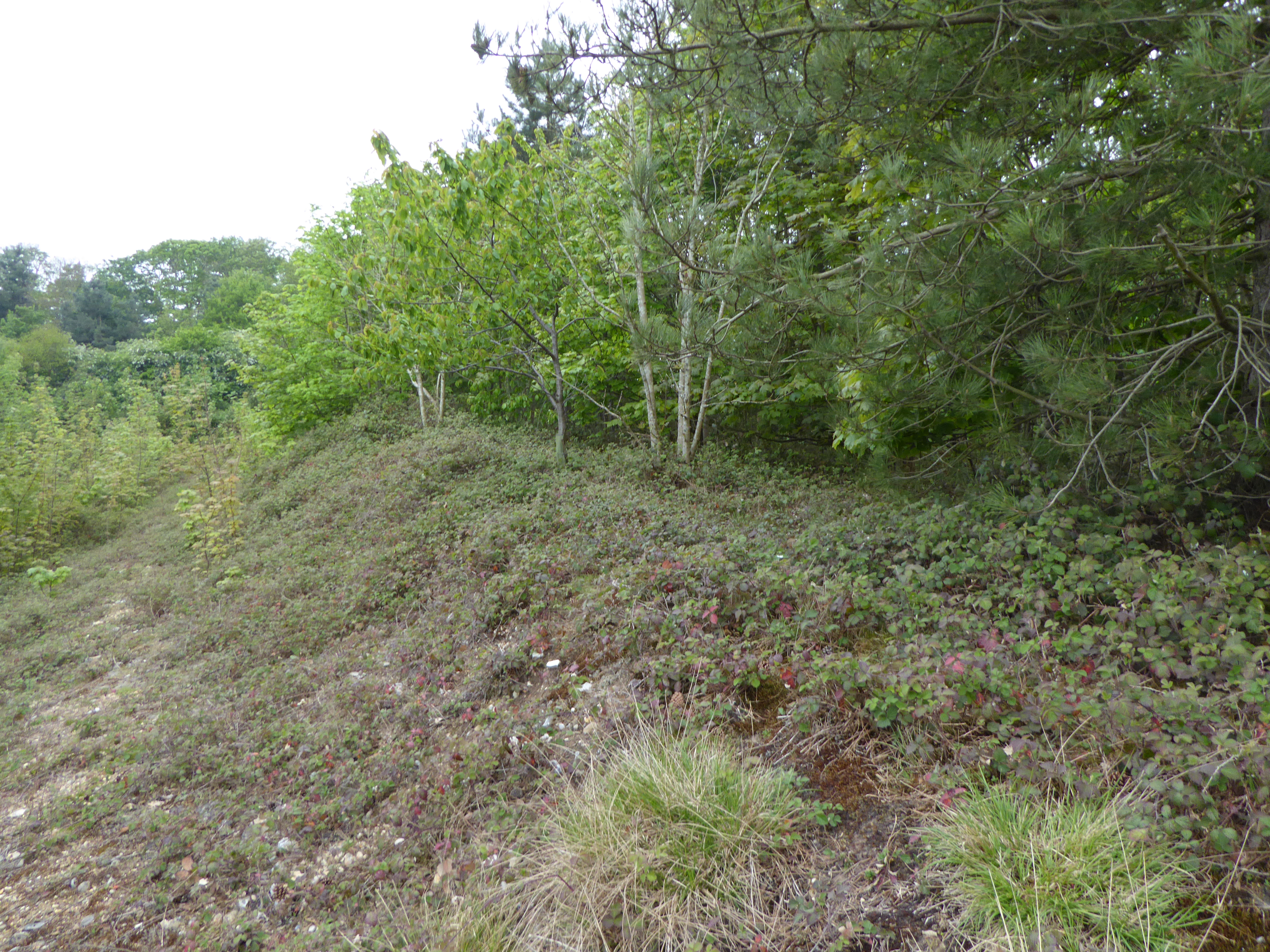
Covering an area of approximately 1 square kilometer, Holbrook Hill is predominantly covered in lush grasslands and scattered with patches of woodland. The hill offers breathtaking panoramic views of the surrounding countryside, with its elevated position providing visitors with an opportunity to admire the picturesque Norfolk landscape.

The hill is a popular destination for outdoor enthusiasts, attracting walkers, hikers, and nature lovers throughout the year. Its well-maintained footpaths and trails allow visitors to explore the area and enjoy the tranquil surroundings. The diverse flora and fauna found on Holbrook Hill make it an ideal habitat for various species of birds, butterflies, and wildflowers, making it a haven for wildlife enthusiasts and photographers.

Holbrook Hill is also of historical significance, with archaeological evidence suggesting that human activity on the hill dates back to the Iron Age. The remnants of ancient settlements and burial mounds can still be found in the vicinity, providing a glimpse into the area's past.

Overall, Holbrook Hill, Norfolk, offers a serene and picturesque natural retreat, combining stunning views, rich wildlife, and a touch of history.

If you have any feedback on the listing, please let us know in the comments section below.

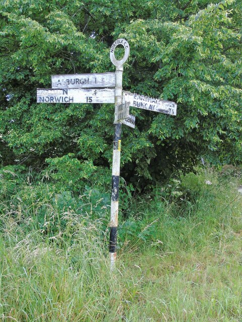
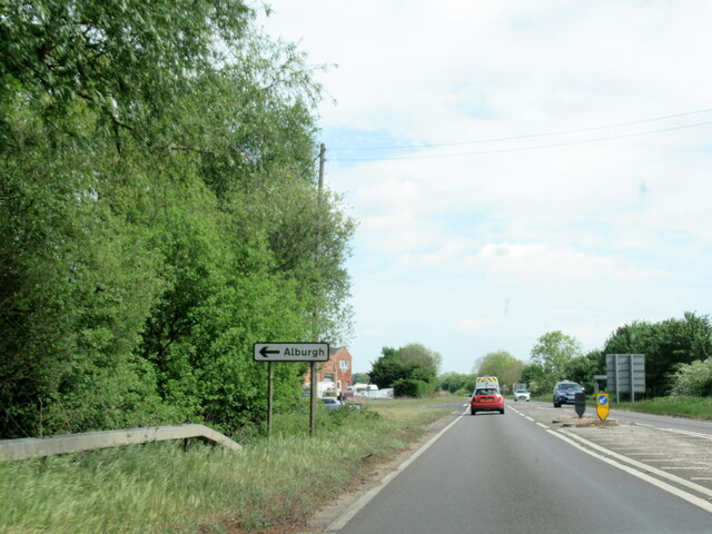
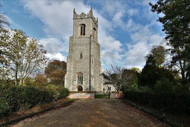
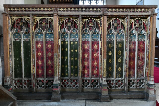
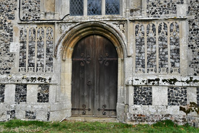
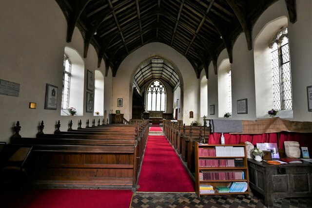
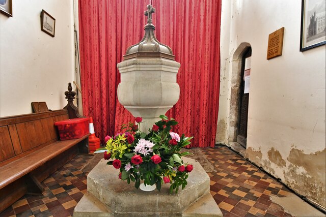
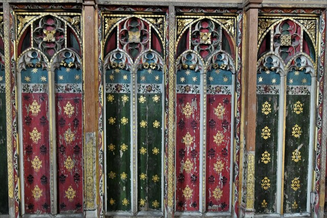
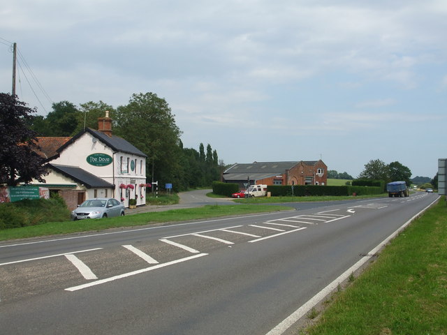
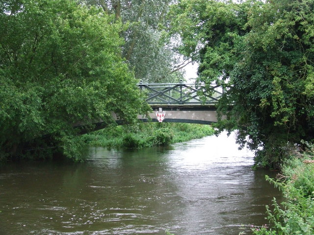
Holbrook Hill Images

Images are sourced within 2km of 52.425316/1.3504714 or Grid Reference TM2786. Thanks to Geograph Open Source API. All images are credited.

Direction Sign – Signpost on Danacre Road, Denton Located on the northeast side of the crossroads of Denton Road, Danacre Road and Alburgh Road in Denton parish. 5 arms and annulus finial. See also <a title="https://www.geograph.org.uk/photo/4167419" href="https://www.geograph.org.uk/photo/4167419">Link</a>.

Milestone Society National ID: NO_TM2887
Direction Sign – Signpost on Danacre Road, Denton
Located on the northeast side of the crossroads of Denton Road, Danacre Road and Alburgh Road in Denton parish. 5 arms and annulus finial. See also Link. Milestone Society National ID: NO_TM2887
A143 east at turning for Alburgh
Alburgh, All Saints Church: Western aspect
Alburgh, All Saints Church: c15th screen dado
Alburgh, All Saints Church: Western entrance
Alburgh, All Saints Church: The nave
Alburgh, All Saints Church: The font
Alburgh, All Saints Church: c15th screen dado (detail)
Alburgh, All Saints Church: The altar
Alburgh, All Saints Church: Detail of chancel stained glass window
Alburgh, All Saints Church: The Alfred Pagan memorial plaque
Alburgh, All Saints Church: The Rev. John Adams Coombe memorial plaque
Alburgh, All Saints Church: First World War memorial plaque 1
Alburgh, All Saints Church: First World War memorial plaque 2
Show me another place!

Holbrook Hill is located at Grid Ref: TM2786 (Lat: 52.425316, Lng: 1.3504714)

Administrative County: Norfolk

District: South Norfolk

Police Authority: Norfolk

What 3 Words

///laugh.broads.feasts. Near Harleston, Norfolk

Related Wikis

Homersfield railway station

Homersfield was a railway station which served the village of Homersfield in Suffolk, England, although the station was located in Alburgh, across the...

Homersfield Bridge

Homersfield Bridge is a road bridge across the River Waveney between Norfolk and Suffolk, and stands partly in the civil parishes of Alburgh and Wortwell...

Homersfield

Homersfield, also known as St Mary, South Elmham, is a village and civil parish in the north of the English county of Suffolk. It is in the East Suffolk...

Wortwell railway station

Wortwell was a station in the small hamlet of Wortwell, Norfolk. It was opened in 1855, as part of the Waveney Valley Line between Tivetshall and Beccles...

Flixton Quarry

Flixton Quarry is a 0.7 hectares (1.7 acres) geological Site of Special Scientific Interest 3.75 miles (6.04 km) south-west of Bungay in the English county...

Wortwell

Wortwell is a village and civil parish in the English county of Norfolk and adjoining the county of Suffolk. It is located on both the River Waveney (which...

Alburgh

Alburgh is a village and civil parish in the English county of Norfolk. It lies about four miles (6 km) north-east of Harleston and 16 miles (26 km) south...

Church of the Assumption of the Blessed Virgin Mary, Redenhall

The Church of the Assumption of the Blessed Virgin Mary, Redenhall (St. Mary's Church) is a Grade I listed parish church in the Church of England in Redenhall...

Nearby Amenities

Located within 500m of 52.425316,1.3504714
Denton Low Road, adj
Naptan AtcoCode: 2900A0410
Naptan Bearing: NW
Naptan BusStopType: CUS
Naptan CommonName: Denton Low Road
Naptan Indicator: adj
Naptan Landmark: Dove Tea Rooms
Naptan Locality: Wortwell
Naptan NaptanCode: nfoadajg
Naptan Street: Station Road
Naptan Verified: no
Source: naptan_import
Lat/Long: 52.423736/1.3542569
Denton Low Road, opp
Naptan AtcoCode: 2900A0411
Naptan Bearing: SE
Naptan BusStopType: CUS
Naptan CommonName: Denton Low Road
Naptan Indicator: opp
Naptan Landmark: Dove Tea Rooms
Naptan Locality: Wortwell
Naptan NaptanCode: nfoadajm
Naptan Street: Station Road
Naptan Verified: no
Source: naptan_import
Lat/Long: 52.4238913/1.3544894
Bus Stop
Station Farm, adj
Bus: yes
Naptan AtcoCode: 2900W492
Naptan Bearing: NE
Naptan CommonName: Station Farm
Naptan Indicator: adj
Naptan Landmark: Station Farm
Naptan Locality: Wortwell
Naptan NaptanCode: nfogjagt
Naptan Street: High Road
Naptan Verified: no
Public Transport: platform
Source: naptan_import
Lat/Long: 52.421703/1.3529991
Bus Stop
Station Farm, opp
Bus: yes
Naptan AtcoCode: 2900W494
Naptan Bearing: SW
Naptan CommonName: Station Farm
Naptan Indicator: opp
Naptan Landmark: Station Farm
Naptan Locality: Wortwell
Naptan NaptanCode: nfogjaja
Naptan Street: High Road
Naptan Verified: no
Public Transport: platform
Source: naptan_import
Lat/Long: 52.4218639/1.3533497
Cafe
The Dove Inn
Addr Postcode: IP20 0EP
Addr Street: Station Road
Addr Village: Wortwell
Fhrs Id: 817909
Old Name: The Farmers Kitchen
Source Addr: FSA Food Hygiene Ratings Database
Website: https://www.thedove.restaurant/
Lat/Long: 52.423635/1.3544079
Homersfield
Historic Railway: station
Railway: site
Source: OS 1:25k
Wikidata: Q5890363
Wikipedia: en:Homersfield railway station
Lat/Long: 52.4234872/1.3547518
Crossing
Crossing Island: yes
Lat/Long: 52.4231796/1.3542198
Station Farm
Place: farm
Source: NLS - OS 1:25k 1st Series 1937-61
Lat/Long: 52.4278916/1.3477166
The Farmers Kitchen
Addr Housename: The Dove
Addr Postcode: IP20 0EP
Addr Street: Station Road
Addr Village: Wortwell
Fhrs Id: 817909
Shop: farm
Source Addr: FSA Food Hygiene Ratings Database
Url: http://www.farmers-kitchen.co.uk/
Lat/Long: 52.423678/1.3542523
Cafe
The Shed
Lat/Long: 52.422196/1.3530014
The data included in this document is from www.openstreetmap.org. The data is made available under ODbL.

Have you been to Holbrook Hill?

Leave your review of Holbrook Hill below (or comments, questions and feedback).