Bramford
Settlement in Staffordshire
England
Bramford

Bramford is a charming village located in the county of Staffordshire, England. Situated in the heart of the countryside, it offers a picturesque and serene setting that attracts both locals and tourists alike. With a population of approximately 1,500 residents, it retains a small-town atmosphere while providing essential amenities for its community.
The village is known for its well-preserved historic buildings, showcasing the architectural heritage of the region. The centerpiece of Bramford is the stunning St. Mary's Church, a Grade II listed building dating back to the 12th century. Its intricate stonework and beautiful stained glass windows captivate visitors, offering a glimpse into the village's rich history.
Nature enthusiasts will find themselves in paradise within the surrounding countryside. Bramford is nestled amidst rolling hills, lush green fields, and meandering streams. It boasts several walking and cycling trails that allow exploration of the stunning landscapes and provide opportunities for outdoor activities.
For those seeking a taste of local culture, Bramford hosts an annual village fair, where residents and visitors come together to celebrate with traditional games, delicious food stalls, and live music. The event creates a vibrant and festive atmosphere, showcasing the tight-knit community spirit that thrives in the village.
Bramford is also conveniently located near larger towns and cities, such as Stafford and Stoke-on-Trent, offering residents easy access to a wider range of amenities, shopping centers, and employment opportunities.
Overall, Bramford is a tranquil village that offers a perfect blend of history, natural beauty, and community spirit, making it an idyllic place to live or visit.
If you have any feedback on the listing, please let us know in the comments section below.
Bramford Images
Images are sourced within 2km of 52.535249/-2.092848 or Grid Reference SO9393. Thanks to Geograph Open Source API. All images are credited.


Bramford is located at Grid Ref: SO9393 (Lat: 52.535249, Lng: -2.092848)
Unitary Authority: Dudley
Police Authority: West Midlands
What 3 Words
///bride.ports.reader. Near Tipton, West Midlands
Nearby Locations
Related Wikis

Woodsetton, Dudley
Woodsetton is an area of the Dudley Metropolitan Borough in the West Midlands of England, roughly 2.0 miles (3 km) northwest of Dudley Town Centre. Formerly...
Mons Hill
Mons Hill is a hill situated in Dudley, West Midlands, England. It is a wooded hill which straddles the border of Dudley and Sedgley, standing to the north...
BCN Main Line
The BCN Main Line, or Birmingham Canal Navigations Main Line is the evolving route of the Birmingham Canal between Birmingham and Wolverhampton in England...

Wren's Nest
The Wren's Nest is a geological Site of Special Scientific Interest in the Dudley Metropolitan Borough, north west of the town centre of Dudley, in the...
Black Country Geopark
The Black Country UNESCO Global Geopark is a geopark in the Black Country, a part of the West Midlands region of England. Having previously been an ‘aspiring...
Black Country Urban Forest
The Black Country Urban Forest (BCUF) is a project to make urban forestry the characteristic landscape of one of England's industrial areas, The Black...
Wren's Nest Estate
The Wren's Nest Estate is a housing estate located to the north west of the town centre of Dudley, West Midlands, England. == History == === Housing... ===
Old Park Farm
Old Park Farm is a residential area of Dudley, West Midlands (formerly Worcestershire and Staffordshire), England. It was developed in the early 1950s...
Related Videos

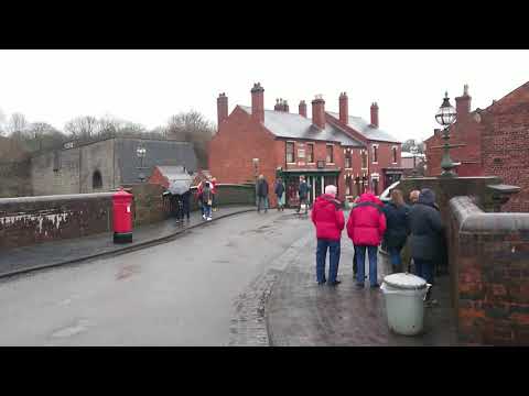
Walking Into The Village At The Black Country Living Museum
Walking into the village area at The Black Country Living Museum, Dudley, West Midlands.
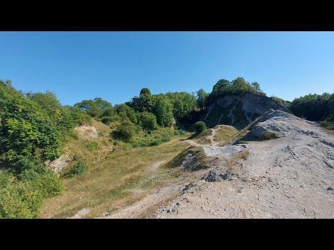
Wrens Nest| walk about and chill
hey everyone, this is a little different to my normal videos but seeing as my last one did really well, I thought I'd upload another ...

Nearby Amenities
Located within 500m of 52.535249,-2.092848Have you been to Bramford?
Leave your review of Bramford below (or comments, questions and feedback).