Bramfield
Settlement in Suffolk East Suffolk
England
Bramfield

Bramfield is a small village located in the county of Suffolk, England. Situated about 2 miles southwest of Halesworth, it forms part of the East Suffolk District. With a population of around 500 residents, Bramfield is known for its picturesque countryside and historic charm.
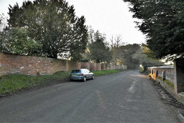
The village is surrounded by rolling farmland, offering stunning views of the Suffolk landscape. It is characterized by its traditional English architecture, with many houses and buildings dating back to the 17th and 18th centuries. The centerpiece of Bramfield is its beautiful medieval church, St. Andrew's, which is a Grade I listed building and attracts visitors from near and far.
Despite its small size, Bramfield boasts a vibrant community spirit. The village is home to a primary school, a village hall, and a popular local pub, The Queen's Head. The pub serves traditional pub fare and is a gathering place for both locals and visitors.
Nature enthusiasts will appreciate the surrounding area, which offers ample opportunities for outdoor activities such as walking, cycling, and birdwatching. The nearby Bramfield Woods and Halesworth Golf Club are popular destinations for those seeking recreation.
Bramfield's location makes it easily accessible, with good transport links to neighboring towns and cities. The village is approximately 30 miles from Ipswich and 100 miles from London, making it a desirable place to live for those seeking a peaceful countryside lifestyle within reach of urban amenities.
If you have any feedback on the listing, please let us know in the comments section below.
Bramfield Images
Images are sourced within 2km of 52.309626/1.519031 or Grid Reference TM3973. Thanks to Geograph Open Source API. All images are credited.


Bramfield is located at Grid Ref: TM3973 (Lat: 52.309626, Lng: 1.519031)
Administrative County: Suffolk
District: East Suffolk
Police Authority: Suffolk
What 3 Words
///bets.producers.lasts. Near Halesworth, Suffolk
Nearby Locations
Related Wikis
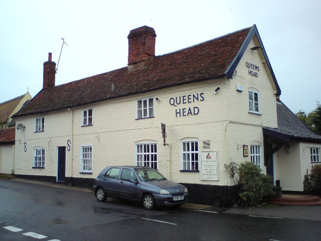
Queen's Head, Bramfield
The Queen's Head is a pub in Bramfield, Suffolk, England. The pub was formerly known as the "Skeltons". It is a Grade II listed building, which dates back...
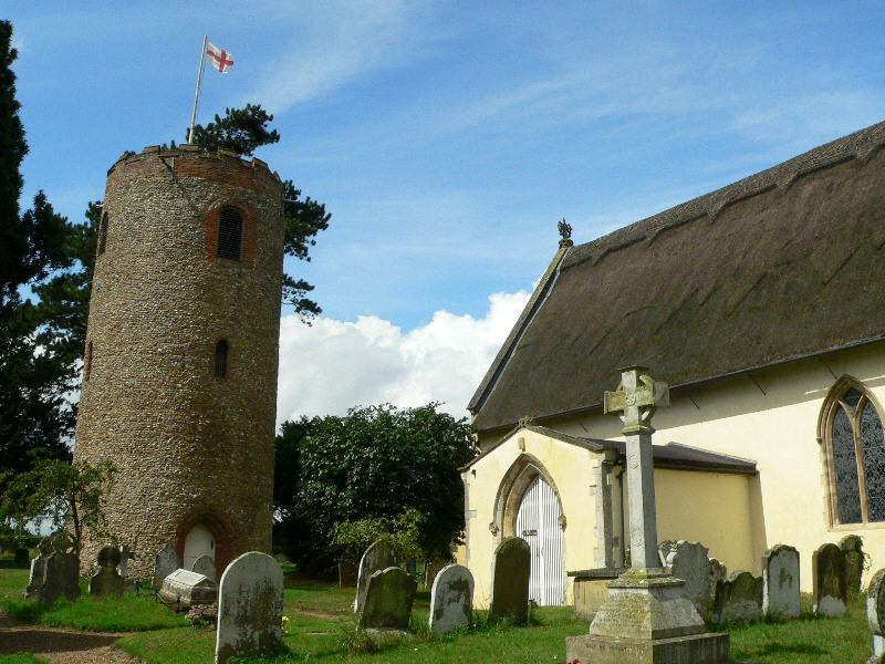
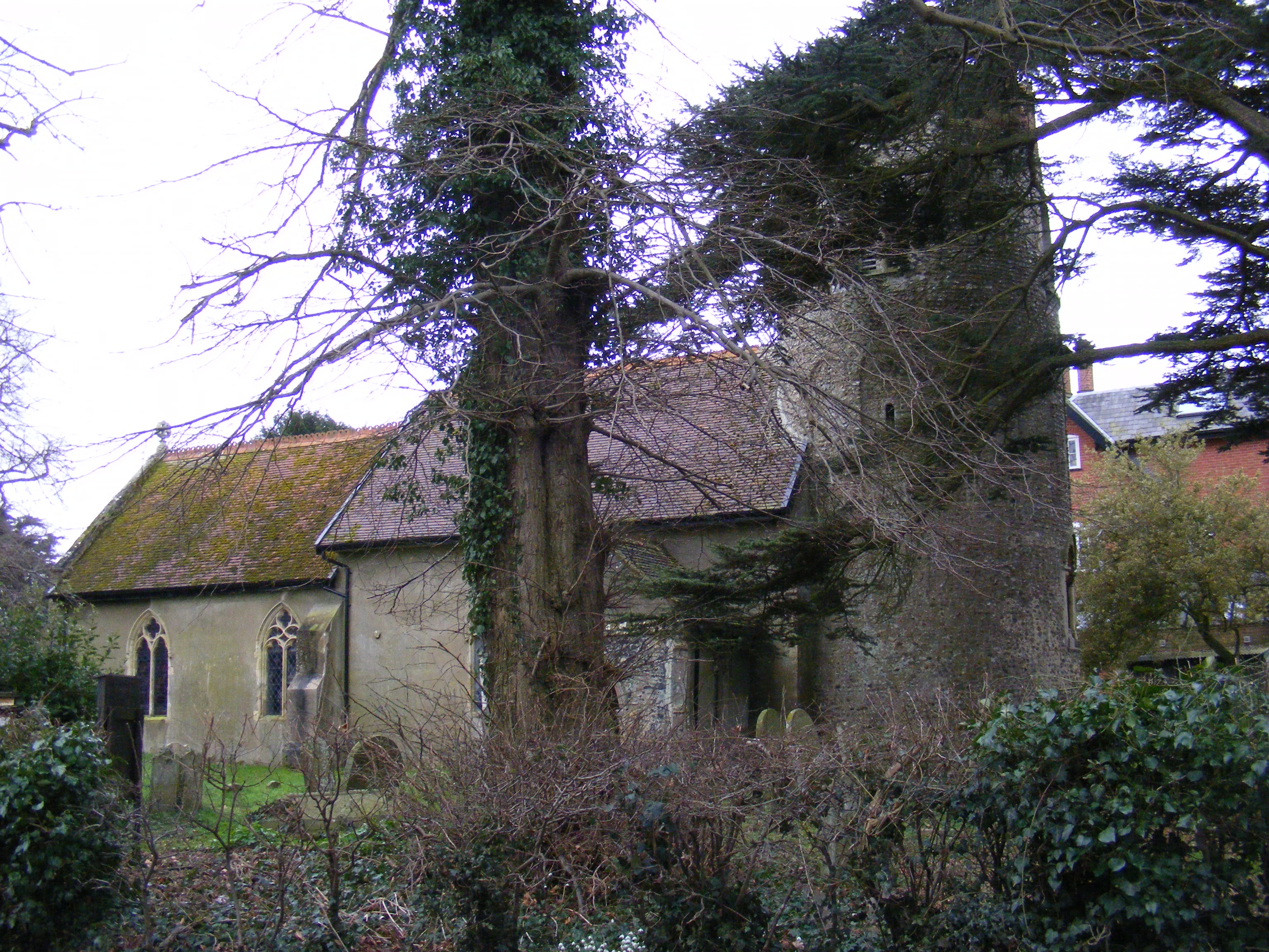
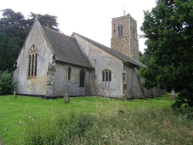
St Andrew's Church, Bramfield
St Andrew's Church is a 13th-century church in Bramfield, Suffolk. It has a separate 12th-century tower standing in the church grounds. It is one of 38...
Bramfield, Suffolk
Bramfield is a village and civil parish in the east of the English county of Suffolk, and in the East Suffolk district. It is 5 miles (8.0 km) south of...
Thorington
Thorington is a village and a civil parish in the hundred of Blything, in the East Suffolk district of the English county of Suffolk. It is located around...
Church Farm Marshes
Church Farm Marshes is a 56 hectare nature reserve in Thorington in Suffolk. It is managed by the Suffolk Wildlife Trust.This site has areas of marshland...

Dew's Ponds
Dew's Ponds is a 6.7-hectare (17-acre) biological Site of Special Scientific Interest (SSSI) south of Halesworth in Suffolk. It is a Special Area of Conservation...
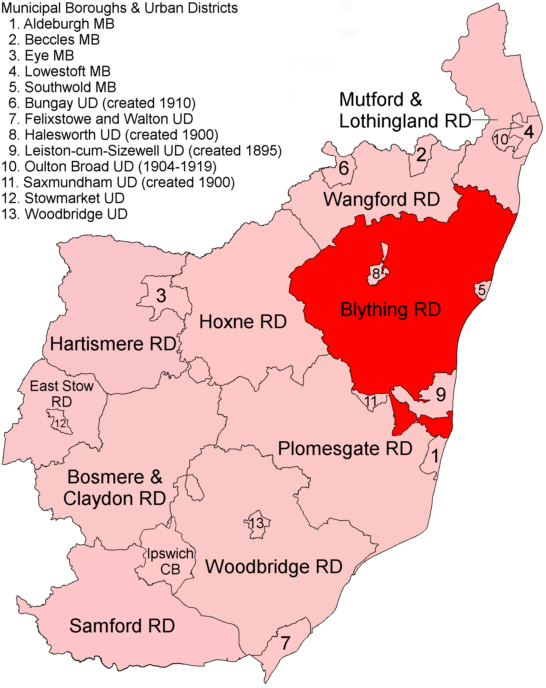
Blything Rural District
Blything Rural District was a rural district within the administrative county of East Suffolk between 1894 and 1934. == Evolution == The district had its...
Wenhaston with Mells Hamlet
Wenhaston with Mells Hamlet is a civil parish in the East Suffolk district, in the county of Suffolk, England. The population at the 2011 Census was 801...
Related Videos
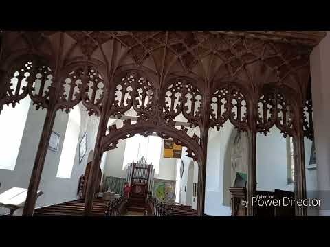
Amazing Ledger Stones and monument at Bramfield, and original rood screen.
As Paul would say this is a gem of a church, distinctive with its detached round tower, a rare thing in Suffolk. The gems of this ...
Nearby Amenities
Located within 500m of 52.309626,1.519031Have you been to Bramfield?
Leave your review of Bramfield below (or comments, questions and feedback).