Bramfield Park
Downs, Moorland in Suffolk East Suffolk
England
Bramfield Park
Bramfield Park is an expansive natural park located in the county of Suffolk, England. Spanning over a vast area, the park is renowned for its diverse landscape, featuring downs, moorland, and various other natural habitats. It offers a picturesque haven for nature enthusiasts and visitors seeking tranquility amidst stunning surroundings.
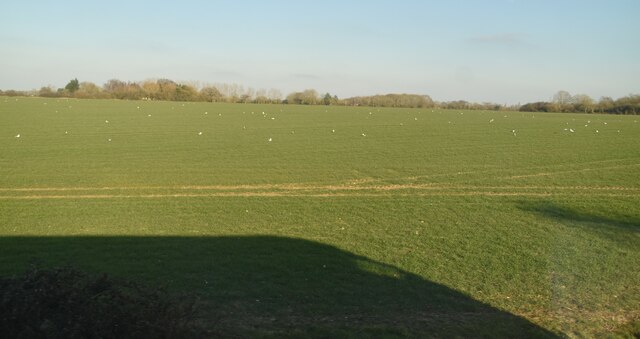
The downs of Bramfield Park are characterized by rolling hills covered in lush green grass. These open spaces provide ample opportunities for leisurely walks, picnics, and recreational activities. The downs offer breathtaking panoramic views of the surrounding countryside, making it a popular spot for nature photographers and landscape admirers.
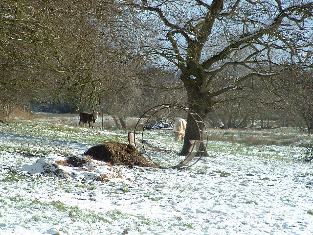
Adjacent to the downs, Bramfield Park boasts extensive moorland areas. This unique habitat is home to a wide range of flora and fauna, including heather, gorse, and various species of birds. The moorland provides a mesmerizing setting for those looking to immerse themselves in the beauty of untouched nature.
The park is also rich in history, with remnants of ancient settlements and archaeological sites scattered throughout. Visitors can explore these historical landmarks and gain insights into the region's past.
In addition to its natural beauty, Bramfield Park offers various amenities for visitors' convenience, including well-maintained walking trails, picnic areas, and information boards providing insights into the park's biodiversity and history.
Overall, Bramfield Park in Suffolk is a captivating destination that combines stunning natural landscapes with historical significance. It offers an escape from the hustle and bustle of everyday life, allowing visitors to immerse themselves in the tranquility and beauty of the surrounding environment.
If you have any feedback on the listing, please let us know in the comments section below.
Bramfield Park Images
Images are sourced within 2km of 52.307939/1.5154025 or Grid Reference TM3973. Thanks to Geograph Open Source API. All images are credited.


Bramfield Park is located at Grid Ref: TM3973 (Lat: 52.307939, Lng: 1.5154025)
Administrative County: Suffolk
District: East Suffolk
Police Authority: Suffolk
What 3 Words
///mammoth.rejoins.carry. Near Halesworth, Suffolk
Nearby Locations
Related Wikis
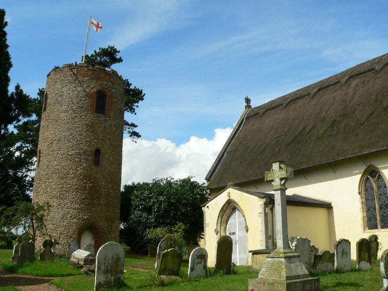
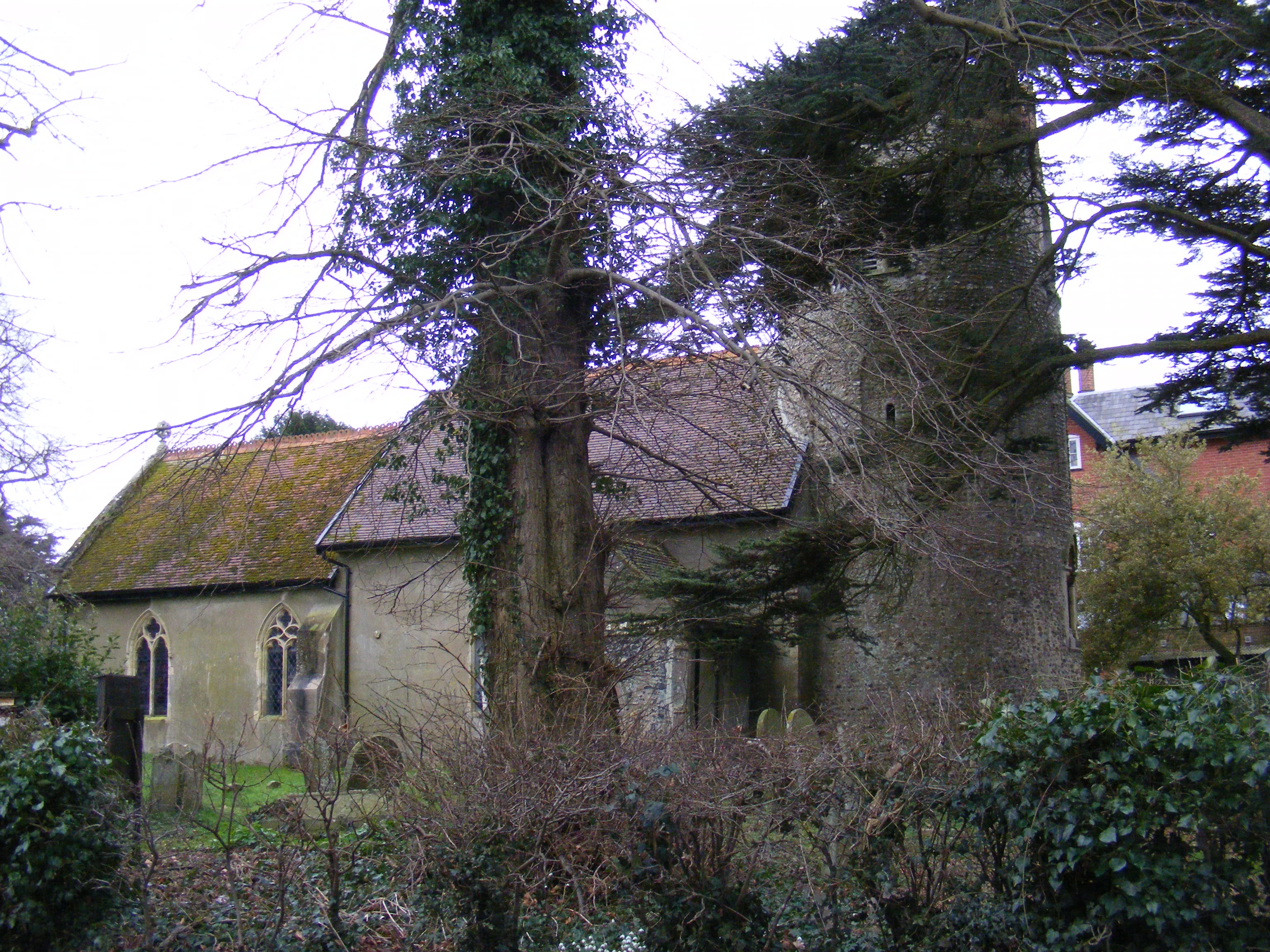
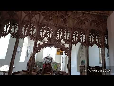
St Andrew's Church, Bramfield
St Andrew's Church is a 13th-century church in Bramfield, Suffolk. It has a separate 12th-century tower standing in the church grounds. It is one of 38...
Bramfield, Suffolk
Bramfield is a village and civil parish in the east of the English county of Suffolk, and in the East Suffolk district. It is 5 miles (8.0 km) south of...
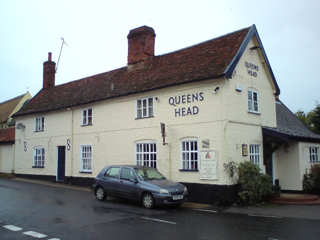
Queen's Head, Bramfield
The Queen's Head is a pub in Bramfield, Suffolk, England. The pub was formerly known as the "Skeltons". It is a Grade II listed building, which dates back...

Dew's Ponds
Dew's Ponds is a 6.7-hectare (17-acre) biological Site of Special Scientific Interest (SSSI) south of Halesworth in Suffolk. It is a Special Area of Conservation...
Thorington
Thorington is a village and a civil parish in the hundred of Blything, in the East Suffolk district of the English county of Suffolk. It is located around...
Church Farm Marshes
Church Farm Marshes is a 56 hectare nature reserve in Thorington in Suffolk. It is managed by the Suffolk Wildlife Trust.This site has areas of marshland...

Walpole Old Chapel
Walpole Old Chapel is a redundant chapel in Halesworth Road, Walpole, Suffolk, England. Originally two farmhouses, it was converted into a chapel in the...
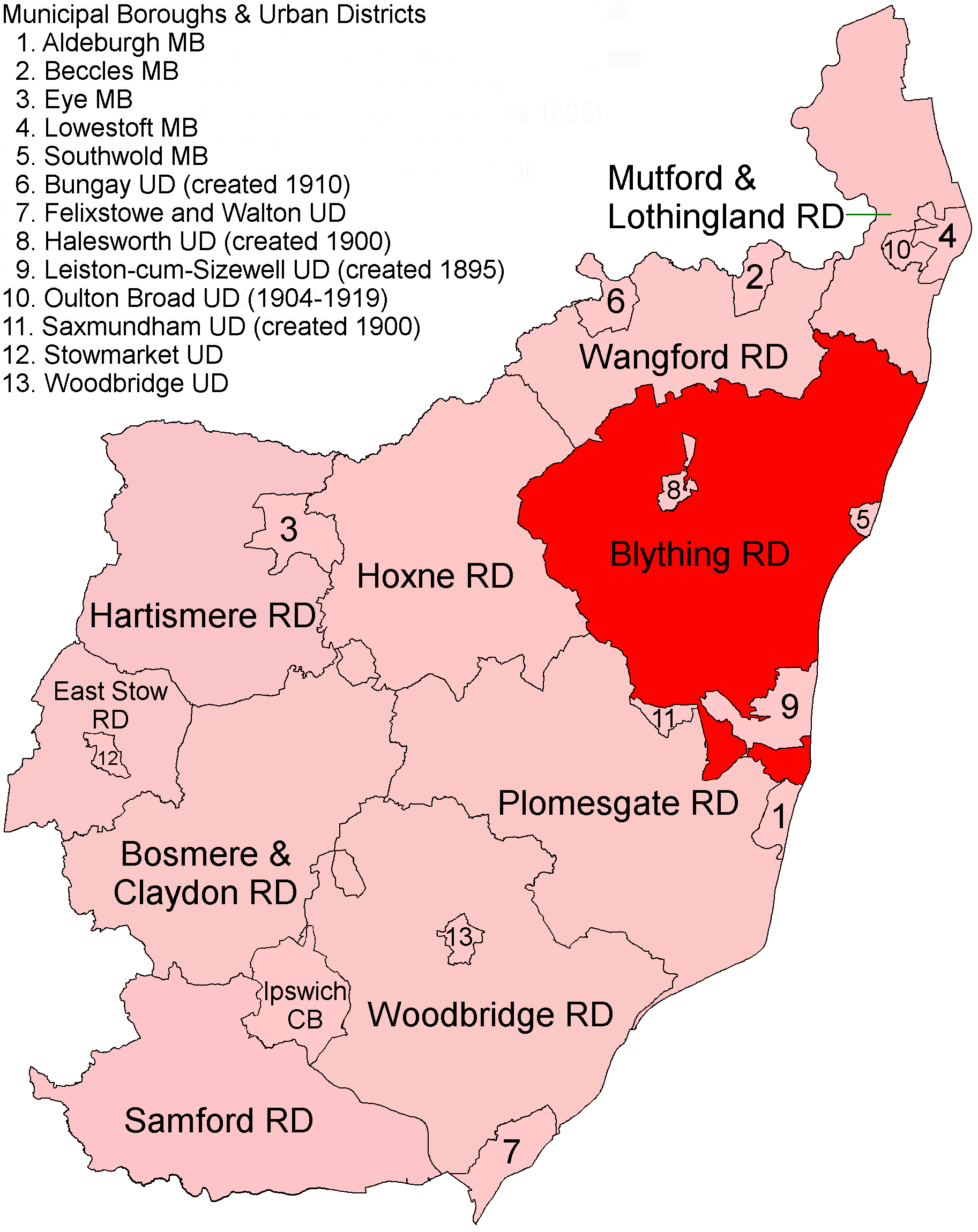
Blything Rural District
Blything Rural District was a rural district within the administrative county of East Suffolk between 1894 and 1934. == Evolution == The district had its...
Related Videos
Amazing Ledger Stones and monument at Bramfield, and original rood screen.
As Paul would say this is a gem of a church, distinctive with its detached round tower, a rare thing in Suffolk. The gems of this ...
Nearby Amenities
Located within 500m of 52.307939,1.5154025Have you been to Bramfield Park?
Leave your review of Bramfield Park below (or comments, questions and feedback).