Bramfield
Civil Parish in Suffolk East Suffolk
England
Bramfield

Bramfield is a civil parish located in the county of Suffolk, England. Situated approximately 5 miles south of the market town of Halesworth, Bramfield is a rural village with a population of around 400 residents. The parish encompasses an area of about 8.5 square miles.
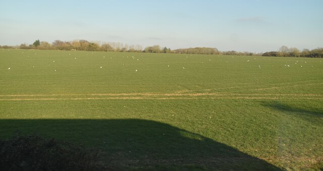
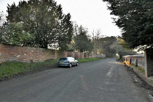
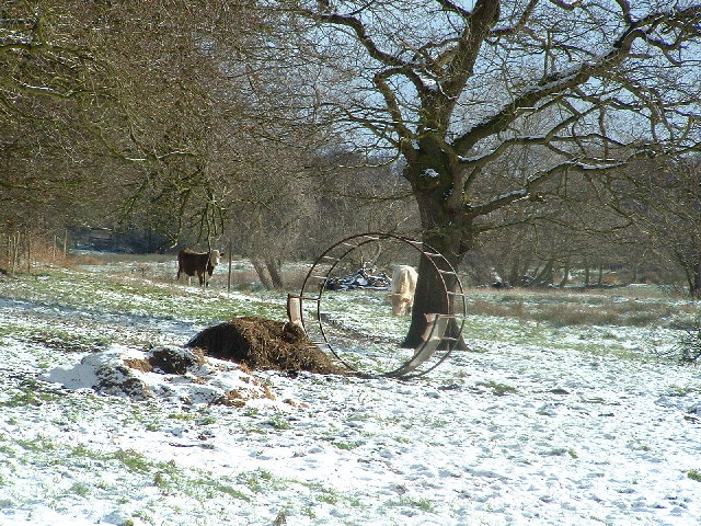
The village is known for its picturesque surroundings and charming countryside, making it a popular destination for nature lovers and outdoor enthusiasts. Bramfield is surrounded by rolling fields, woodlands, and meandering streams, providing ample opportunities for walking, hiking, and wildlife spotting.
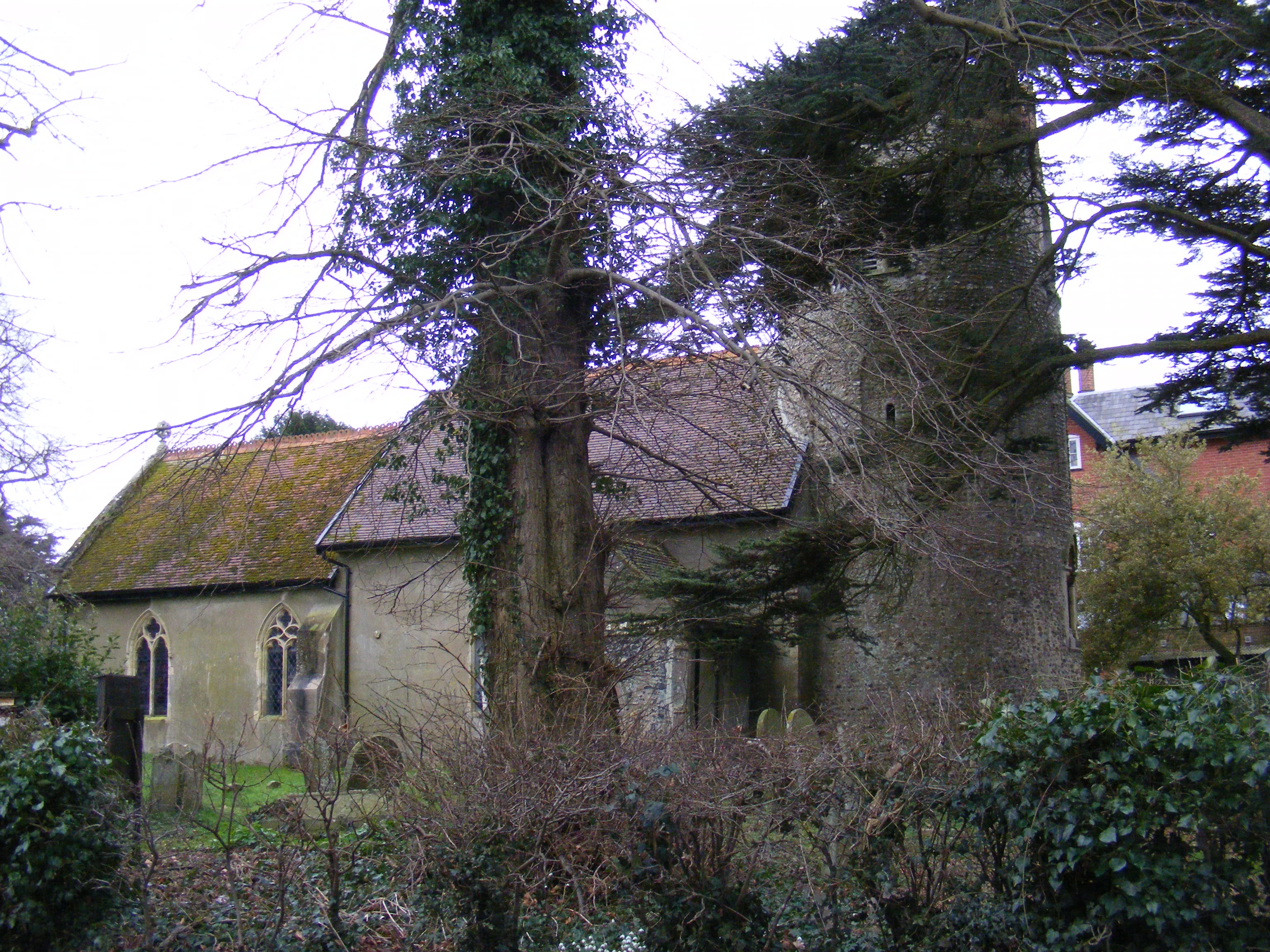
Bramfield is home to the historic St. Andrew's Church, which dates back to the 14th century. This beautiful church is known for its stunning architecture and impressive stained glass windows. The village also has a primary school, Bramfield Church of England Voluntary Controlled Primary School, serving the educational needs of the local community.
Although Bramfield is a small village, it has a strong sense of community and hosts various social events throughout the year, including a summer fete and a Christmas fair. The village also has a pub, The Queen's Head, where residents and visitors can enjoy traditional British pub food and a friendly atmosphere.
With its tranquil setting and close proximity to nearby towns and amenities, Bramfield offers a peaceful and idyllic lifestyle for its residents, while also attracting visitors looking to explore the beauty of the Suffolk countryside.
If you have any feedback on the listing, please let us know in the comments section below.
Bramfield Images
Images are sourced within 2km of 52.306015/1.514958 or Grid Reference TM3973. Thanks to Geograph Open Source API. All images are credited.


Bramfield is located at Grid Ref: TM3973 (Lat: 52.306015, Lng: 1.514958)
Administrative County: Suffolk
District: East Suffolk
Police Authority: Suffolk
What 3 Words
///swatting.local.cupcake. Near Halesworth, Suffolk
Nearby Locations
Related Wikis
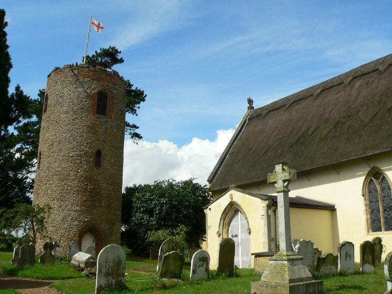
St Andrew's Church, Bramfield
St Andrew's Church is a 13th-century church in Bramfield, Suffolk. It has a separate 12th-century tower standing in the church grounds. It is one of 38...
Bramfield, Suffolk
Bramfield is a village and civil parish in the east of the English county of Suffolk, and in the East Suffolk district. It is 5 miles (8.0 km) south of...
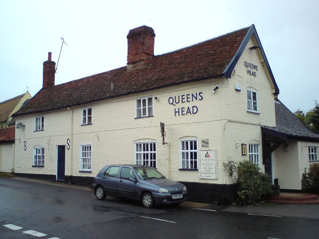
Queen's Head, Bramfield
The Queen's Head is a pub in Bramfield, Suffolk, England. The pub was formerly known as the "Skeltons". It is a Grade II listed building, which dates back...

Dew's Ponds
Dew's Ponds is a 6.7-hectare (17-acre) biological Site of Special Scientific Interest (SSSI) south of Halesworth in Suffolk. It is a Special Area of Conservation...
Church Farm Marshes
Church Farm Marshes is a 56 hectare nature reserve in Thorington in Suffolk. It is managed by the Suffolk Wildlife Trust.This site has areas of marshland...
Thorington
Thorington is a village and a civil parish in the hundred of Blything, in the East Suffolk district of the English county of Suffolk. It is located around...

Walpole Old Chapel
Walpole Old Chapel is a redundant chapel in Halesworth Road, Walpole, Suffolk, England. Originally two farmhouses, it was converted into a chapel in the...
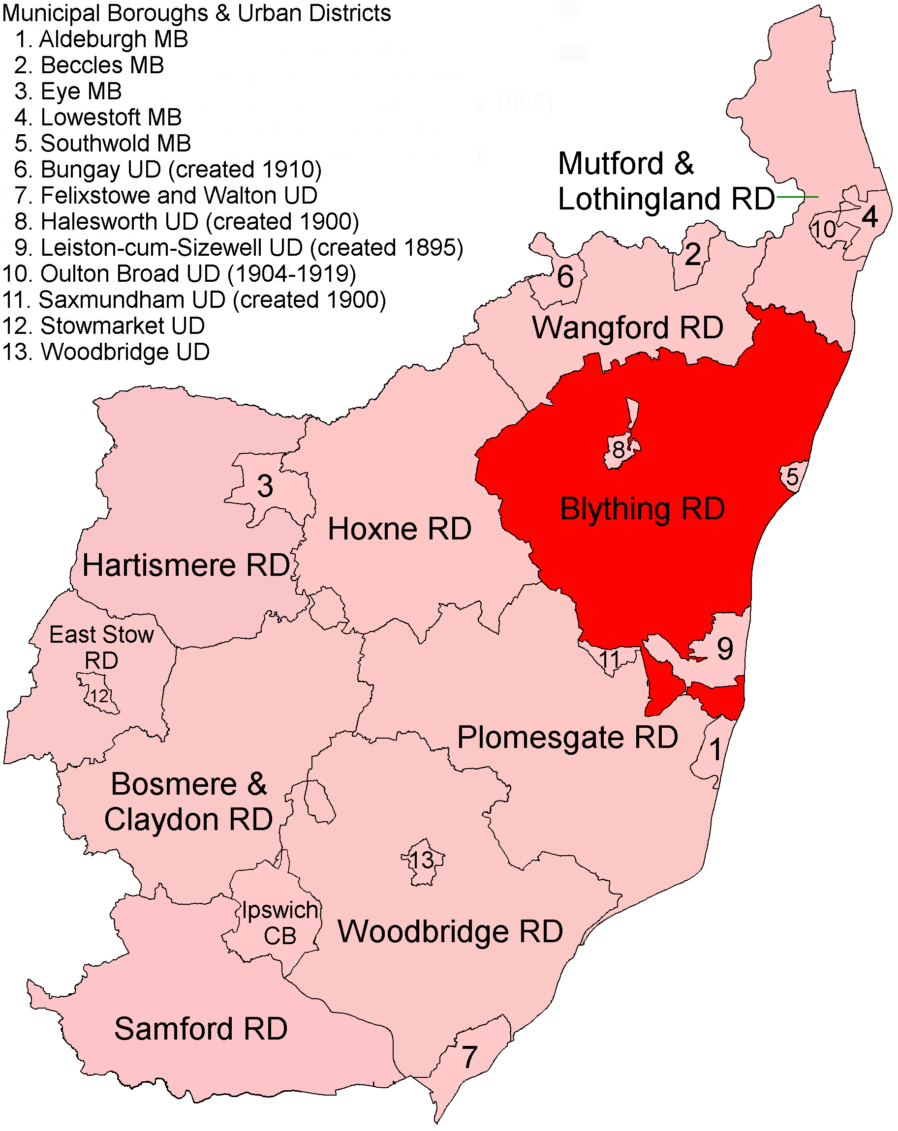
Blything Rural District
Blything Rural District was a rural district within the administrative county of East Suffolk between 1894 and 1934. == Evolution == The district had its...
Related Videos
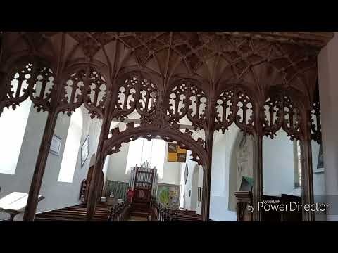
Amazing Ledger Stones and monument at Bramfield, and original rood screen.
As Paul would say this is a gem of a church, distinctive with its detached round tower, a rare thing in Suffolk. The gems of this ...
Nearby Amenities
Located within 500m of 52.306015,1.514958Have you been to Bramfield?
Leave your review of Bramfield below (or comments, questions and feedback).